
Offshore wind review: where does GenAnywhere fit site studies?
The onshore half of an offshore project still needs ground context, and that is where a 3D site scene earns its place.
Offshore wind development starts at sea and lands on shore. The marine survey, the seabed, and the wind resource belong to specialist teams. The port, the cable landfall, and the substation parcel are ground problems that a site team can see in three dimensions before the marine work is complete.
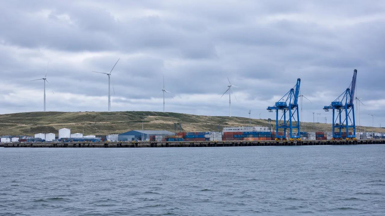
1 What a sea-based energy study contains
A project study has two halves. The marine half covers the lease area, the seabed, the wind resource, and the export cable route offshore. The land half covers everything the cable touches after it comes ashore.
1.1 The marine side and the land side
Marine work relies on vessels, sonar, and metocean data that no map-based site tool can supply. Land work relies on parcels, roads, terrain, and buildings, which are easier to see and easier to discuss with local officials. Treating the two as one exercise blurs the boundary and invites claims the land review cannot support. Treating them as linked but separate keeps each team inside its evidence.
1.2 Why the land side gets overlooked
Attention goes to turbines and vessels, so the port and the landfall can arrive late in the conversation. Yet a port that cannot handle blade sections or a landfall that crosses a busy road can delay a project as surely as a marine constraint. Bringing the onshore sites into the review early gives the project a second front to solve, and it often surfaces options that are easier to compare than marine ones. A port review can also run while marine surveys are still being scoped, which keeps the land team productive.
2 Read the port and the landfall
Two onshore sites carry most of the land-side risk: the staging port and the cable landfall. Both are physical places that can be read from mapped imagery.
2.1 Map the staging port area
A staging port needs quay space, laydown yards, heavy-load roads, and room for components that arrive by sea. With GenAnywhere, a team selects the port area on the map and generates an editable 3D site model from satellite and map data. Buildings, terrain, water, and vegetation appear in separate layers, so a planner can see how much open yard sits behind the quay and whether a warehouse blocks the route to the gate. Volumes can be moved or resized to test a layout, and the scene can be previewed before export.
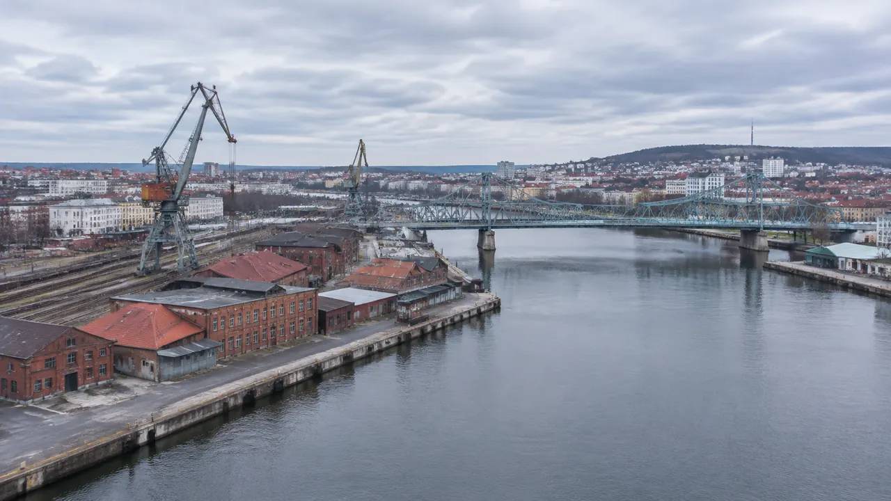
2.2 Trace the cable route to the substation
The landfall connects to a substation, and the route between them crosses fields, roads, rail, and streams. A 3D view shows the terrain and the built features along that corridor, which helps a team spot a crossing that needs a specialist study. It will not show buried services or landownership. Those come from records and from the utilities, and they should be checked before the route is described as feasible. Coastal ground shifts with storms, so note the imagery date beside the landfall view. A landfall that crosses a public beach also brings a permitting conversation, which the scene can inform but not settle.
3 Compare onshore options fairly
Ports and landfall sites are often compared in prose. A shared view makes the comparison concrete and shows where one option carries a physical complication the other avoids.
3.1 Use the same ground view for each port
Set a consistent camera height and direction for each candidate port. The view should include the quay, the yard, the gate, and the nearest public road. Reusing that frame makes differences in laydown area and access obvious. It also stops a polished image of one port from outweighing a plain image of another, which is a common bias in early option reviews. A plain view that shows the constraint is more useful than a dramatic one that hides it.
3.2 Check access against the nearby road network
Components move by road after they leave the port, so the route to the project area matters. Look at bridge widths, roundabouts, and village streets on the mapped imagery and note where a convoy would struggle. The scene will not give you a transport study, but it can flag the pinch points that deserve one. Those notes help a port conversation stay concrete when the road authority joins. That early flag is often the difference between a shortlist and a surprise. Note the date of the road imagery too, because a bypass or a new roundabout can change the route in a season.
4 Where the platform stops
The boundary matters more here than in most site reviews. Offshore wind has a large marine component, and a land-based tool should say so plainly.
4.1 No seabed, no metocean
Bathymetry, seabed geology, wave climate, and wind resource come from marine surveys and metocean studies. A land team should ask for those inputs rather than infer them from shoreline imagery. A project that keeps them separate avoids the error of presenting a land scene as a marine study.
4.2 Clear handoff to marine specialists
When the onshore scene is ready, it can travel into the wider project. GenAnywhere exports a general GLB for 3D, BIM, GIS, and game engine workflows, including Unreal Engine, Unity, Blender, Revit, Rhino, SketchUp, ArcGIS Pro, GISBox, and Wings Engine. The export carries a permanent commercial license, with limits on resale of raw files and on AI training use. Marine teams can use the land context as a reference while their own survey work proceeds, without treating it as a substitute.
5 Keep a two-sided record
A project record that mixes land and marine evidence is hard to audit. Two short notes, linked at the interface, work better.
5.1 One note for land, one for marine
The land note covers the port, the landfall, the substation parcel, and the access route, with imagery dates and the limits of the land scene. The marine note covers the lease area, survey work, and metocean sources. Keep them separate, then list the points where they meet: the landfall coordinates, the cable corridor, and the port gate. That structure lets a reviewer see which evidence supports which conclusion. If the two notes disagree about a location, the disagreement is worth resolving before the next meeting.
5.2 Mark the interface points
The landfall is where two worlds touch, and it deserves its own annotation. Note the beach, the dune, the road, and the nearest inland field, then mark where the marine survey ends and the land review begins. A clear interface prevents a marine finding from being applied to a land parcel, or the reverse. It also makes the handoff between teams a visible step rather than an assumption. A named interface gives the two teams a place to exchange updates without rewriting each other's work.
6 Bringing the onshore review together
The steps below keep the land review useful and honest about its scope.
6.1 Define the onshore question
Write the question in one line, such as which of three ports can stage components without closing the town road. That phrasing keeps the review on land and gives the port comparison a purpose beyond general interest. A port comparison without a constraint tends to drift into a discussion of berth length alone. The land-side workflow overview shows which steps happen before marine work joins.
6.2 Walk the landfall
View the landfall from the beach, the road, and the nearest inland field. Check the slope, the buildings, and the access for cable-laying equipment. Note what the imagery does not show, including buried services and seasonal conditions. Those notes belong in the land record, not in the marine one. If access depends on a seasonal track, say how the review treated it. That handoff is easier when the land note names the marine studies it relied on.
6.3 Leave marine review to specialists
The BOEM renewable energy program describes the federal process for offshore leases and the studies that support them. A site team can prepare the onshore context and still leave seabed, metocean, and marine survey work to the specialists who own that evidence.
Open the GenAnywhere workspace to read a port or landfall site in 3D.
See how the site workflow fits together when the onshore scene joins the project record.
7 FAQ
FAQ-1 Can GenAnywhere model turbines at sea?
No. The platform builds land scenes from satellite and map data. Turbine layout, seabed conditions, and marine constraints need specialist survey and modeling tools. A project team can use the scene to review the staging port, the landfall, and the substation parcel, then combine that land context with marine work prepared by others.
FAQ-2 Does the platform use bathymetry?
No. There is no seabed or water-depth data behind the scene. GenAnywhere works from satellite and map imagery on land and does not read wave climate, current, or wind resource. Marine teams should rely on their own survey and metocean sources, and the land review should be labeled so nobody mistakes it for a marine study.
FAQ-3 What onshore sites does it help review?
The staging port, laydown yards, the cable landfall, the substation parcel, and the roads between them. Buildings, terrain, water, and vegetation can be handled in layers, volumes can be adjusted, and the scene can be previewed before export. Those features help a team compare ports and trace a cable corridor on land. Buried services and landownership still need separate checks.
FAQ-4 How does the scene move into the wider study?
The scene exports as a general GLB for 3D, BIM, GIS, and game engine workflows, with a permanent commercial license. Raw files cannot be resold or used for AI training, and third-party data rights need separate review. Marine and engineering teams can use the land model as reference context, while their own survey evidence remains the authority for offshore conditions.
Content and technical notes
This article was prepared by the GenAnywhere team with AI-assisted drafting and human review.
Product features, formats, and availability change as the platform evolves; refer to the official GenAnywhere website for current details.
For technical questions or corrections, contact support@genanywhere.com.
Last reviewed: 2026-11-09.