
Airport digital twin: what a terminal site view adds, GenAnywhere
How a shared site context supports the early conversations a terminal plan depends on.
A digital twin begins with a place, not with a model file. Before an airport can reason about passenger flow, baggage, or asset data, it needs a common picture of where the terminal sits and how it meets the road, the apron, and the surrounding land. A map-based 3D site view supplies that context and gives the wider team a starting point they can all read.
1 Define what the twin needs from the site
1.1 What belongs in a terminal context model?
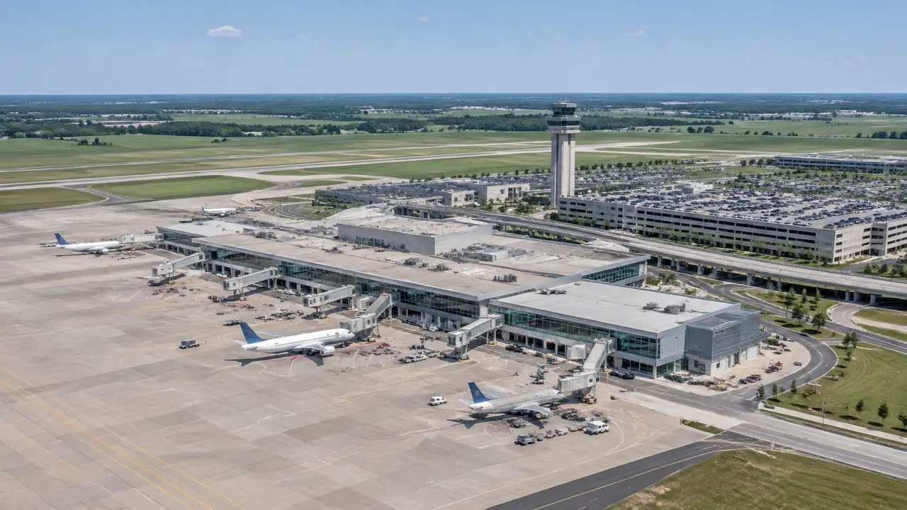
A terminal context model should show the building footprint, the surrounding roads, the parking areas, and the apron edge. It should also show the terrain, because a terminal that appears level on a plan may sit on a grade that shapes access and drainage. Add the nearby buildings and vegetation that frame the approach.
This is context, not the twin itself. The twin will carry systems, assets, and live data that a site model cannot. The site view answers a narrower question: how does the terminal sit in its setting, and what does that setting allow.
1.2 Which edges matter most?
Airports have hard edges. The security perimeter, the airside boundary, and the road network each impose rules that shape what can change. Seeing those edges together helps the planning team understand where a terminal expansion has room and where it does not.
A site model built from map data can show fences, roads, and building masses, though it will not label which side of a line is restricted. Pair the scene with the airport's own drawings before drawing conclusions about developable land.
2 Read the terminal from the passenger side
2.1 How do arrivals and departures meet the curb?
The curb is where a terminal plan becomes visible to travelers. A model that includes the terminal volume and the road network lets the team see how arrival and departure lanes relate to the building, where pedestrians cross, and how much room exists for drop-off.
Sketch two curb configurations and compare them from a driver's view. The exercise will not settle traffic operations, but it shows which options create obvious conflicts. Those are the options worth testing with a traffic engineer.
2.2 Where does parking shape the approach?
Parking structures and surface lots often dominate the passenger's impression of an airport. They also consume land that a terminal might need later. A three-dimensional view makes the trade-off visible, including how a garage would screen or expose the terminal from the access road.
Use the scene to test how a parking option changes the approach. A structure that hides the terminal may be efficient and unwelcoming at the same time, and that judgment belongs in the planning conversation.
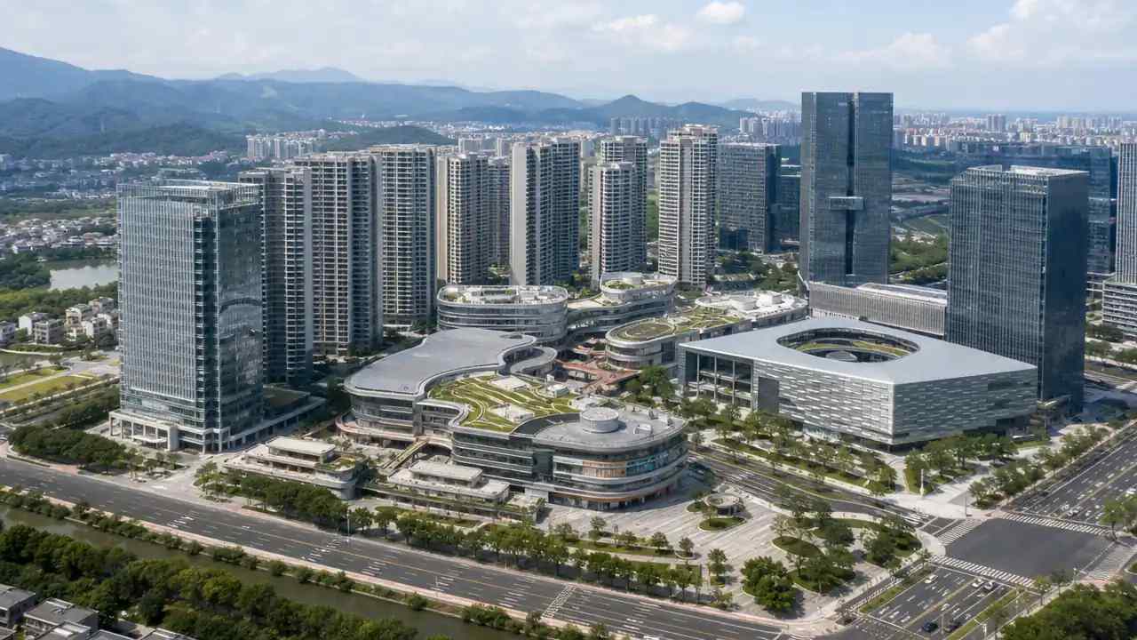
Curb length is a finite resource. A terminal that adds a lane for buses may take space from passenger pick-up, and the choice depends on how the airport wants arrivals to work. The scene shows the geometry, while the operating plan shows the demand. Bring both to the same meeting.
3 Read the airside context
3.1 How does the apron sit against the terminal?
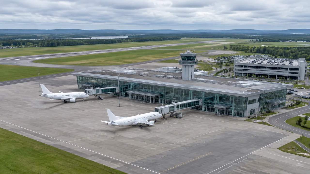
The apron is a working surface with its own geometry and constraints. A site model shows the terminal edge and the apron area as volumes and surfaces, which helps the team discuss where gates, support buildings, and service roads sit relative to the building.
Aircraft stands, taxi lanes, and safety areas require airport-specific design that the model does not provide. Use the scene to frame those questions, then rely on the airport's engineering standards for the answers.
3.2 Which sight lines matter for operations?
Controllers, operators, and passengers all depend on sight lines, though for different reasons. A perspective view helps the team notice when a proposed structure would block a view from a key location. That observation is a prompt for a detailed study, not a finding in itself.
Capture the views that matter and save them with the scenario. A set of consistent viewpoints makes later design reviews faster because everyone is looking at the same thing. It also gives the airport a record of what changed between versions, which is useful when a project spans several years.
4 Compare expansion options
4.1 How do you compare phasing options?
Terminal expansions often proceed in phases, and each phase changes how the building works during construction. Comparing phases is easier when the site context stays fixed while the proposed changes move. That discipline keeps the discussion about sequence rather than about base maps.
Model each phase as a separate view of the same scene and label the assumptions. The team can then see which phase creates the tightest curb, the longest walk, or the most constrained apron, and those comparisons hold up when the phasing plan changes.
4.2 What should an exhibit show?
An exhibit for airport stakeholders should locate the terminal, show the road and parking context, and indicate the proposed change in general massing. It should not imply that aircraft operations or security arrangements have been designed. Keep the image at the level of a planning diagram in three dimensions.
Two views usually suffice: an aerial that shows the airport setting and an eye-level view from the access road. Add a short note on data sources and the model date.
5 Match the model to the planning stage
5.1 What belongs in a concept study?
A concept study needs site context, building massing, and access options. It does not need systems design, baggage layouts, or gate assignments. A model that stays at the concept level is easier to discuss and harder to mistake for a finished design.
Bring the scene to the initial stakeholder meeting and use it to collect constraints. The airport's operations team will see issues that a planner would miss, and those comments are more useful when they can point to a specific part of the site.
5.2 What does the model not settle?
The model does not settle security, operations, or engineering. It does not show aircraft parking positions, underground utilities, or the many rules that govern airside development. Those belong to the airport and its consultants.
Inside the terminal, the model stops. It cannot show what happens past the doors. Concourse width, gate seating, and baggage systems are interior questions. Keep the site conversation on the outside of the building, where the model has something useful to say.
Say so before anyone mistakes the image for a plan. The site view earns trust by being clear about its role: it organizes the physical conversation so the specialist conversations can start from a shared place.
6 Put the preview to work
6.1 What should the team prepare?
GenAnywhere generates an editable 3D site model from a map selection, including buildings, terrain, water, and vegetation. A terminal, its parking areas, and the surrounding roads appear as volumes that can be inspected from above or at eye level. Individual buildings can be replaced, moved, or adjusted in height and type, which makes it possible to test a massing idea without commissioning a full architectural model.
Parking structures and support buildings can be replaced or adjusted in height and type, so a terminal option can be tested without modeling each structure by hand. The scene can be previewed before any file is exported, which keeps the concept phase light. Use the scene to prepare a short list of constraints for the airport's planning team. Then open the platform overview and agree on which views the concept study will use.
6.2 How does the scene reach terminal designers?
Export the model as GLB and open it in Revit, Rhino, SketchUp, Blender, Unity, Unreal Engine, or a GIS environment such as ArcGIS Pro or GISBox. Designers can build their terminal massing and road layouts against the same site context, which keeps the concept study coherent as it moves between disciplines.
Keep layers separate so the receiving team can distinguish terrain from buildings. A clean handoff reduces the risk that two consultants present different versions of the same airport.
6.3 What limits should the team state?
The model reflects map and satellite data available at the time of generation. It is not a survey or an as-built record, and it is not an operational twin. Third-party data rights may apply, and the commercial license for the export has conditions on resale and training use.
State those limits in the concept report. The site view is a starting layer for that conversation. Its value is a shared place to begin.
Open an airport site in GenAnywhere
See how site context feeds terminal planning
7 FAQ
FAQ-1 Does the model replace an airport's own digital twin?
No. An airport digital twin typically combines asset data, systems, and operational information that a site model does not contain. The generated scene supplies geographic and massing context that can sit beneath those layers. Treat it as a starting frame for discussion, and rely on the airport's own data governance for anything operational or security related.
FAQ-2 Can the model show aircraft stands?
It can show the apron as a surface and the terminal as a volume, but it does not lay out stands, taxi lanes, or safety areas. Those elements follow airport design standards and operational rules. Use the scene to discuss how a terminal edge relates to the apron, then confirm stand geometry with the airport's engineering team.
FAQ-3 Can the model support stakeholder review?
Yes, for site and massing questions. An aerial view and an eye-level view from the access road give stakeholders a clear sense of the setting and the proposed change. The model cannot answer questions about operations, security, or airline agreements. Pair the visuals with a briefing from the airport so the discussion stays within the right scope.
FAQ-4 What should be verified with the airport authority?
Verify the airside boundary, security perimeter, and any development restrictions that apply near the terminal. Confirm the status of planned projects that may affect the site. Check current imagery for construction that postdates the model. The FAA airport planning resources can help a team frame the questions it brings to the authority.
Content and technical notes
This article was prepared by the GenAnywhere team with AI-assisted drafting and human review.
Product features, formats, and availability change as the platform evolves; refer to the official GenAnywhere website for current details.
For technical questions or corrections, contact support@genanywhere.com.
Last reviewed: 2026-11-10.