
Airport-to-park plans: shaping sites with GenAnywhere
A reuse method for airfields, hangars, and the land between them
Airport-to-park plans start with a piece of land that was never designed for public use. Runways, taxiways, hangars, and security fences set a geometry that outlasts the airport itself. The reuse plan has to work with that geometry, not against it, while making room for parks, housing, and workplaces.
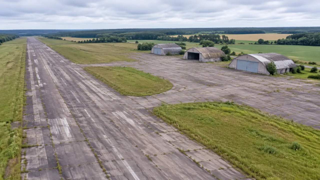
1 Read what the airport leaves behind
An airfield is a set of very specific surfaces. The runway is long and flat, the taxiways are wide, and the apron is built for heavy loads. Those surfaces are expensive to remove and useful for new purposes. The reuse plan begins by deciding which ones to keep.
1.1 Map the runway and taxiway geometry
Draw the runway, the taxiways, and the apron on the scene. Note the length, the width, and the connections between them. A runway can become a linear park, a transit corridor, or a water channel, depending on the surrounding plan. A taxiway can serve as a path or a service road. The geometry is a gift, but it also fixes the shape of everything around it.
1.2 Find the buildings that can be reused
Hangars are large, column-free, and tall, which makes them useful for markets, sports, or light industry. Terminal buildings may suit offices or community uses, though their layouts can be awkward. Mark each building with a reuse potential and a condition note. A hangar with a damaged roof may still be worth keeping if the frame is sound. The decision needs a structural review; a visual impression will not settle it.
2 Set the development envelope
Even after an airport closes, some land remains constrained by aviation interests nearby. Approach paths, noise zones, and safety areas may continue to limit what can be built. The plan has to show those limits clearly before it proposes anything.
2.1 Keep the safety and noise areas clear
Plot the protection zones in GenAnywhere and check them with the aviation authority. Some zones may end when the airport closes, while others may remain for a nearby facility. Mark the areas on the scene and treat them as open space, water, or low-intensity uses. A park is often a good fit for land that cannot carry buildings, which is one reason airport reuse and open space work well together.
2.2 Test building heights near the approach
Where height limits remain, test a few building types against them. A low-rise neighborhood may fit where a mid-rise block would not. Draw the height limit on the scene and compare the options in elevation as well as plan. The exercise avoids a plan that looks fine from above but conflicts with a surface that is invisible in a flat drawing.
GenAnywhere can generate the base scene from satellite and map data. Select the airfield and the surrounding land, and the platform produces an editable model with buildings, terrain, water, and vegetation. Teams can remove or replace buildings, adjust heights, and test how a new block sits against the runway geometry. The model is a starting point, not an aviation study, and the protection zones still need confirmation from the responsible authority.
3 Connect the park to the city
An airport often sits at the edge of a city, connected by a highway and little else. The reuse plan has to add the connections that a neighborhood needs: transit, walking, and cycling. The old airport roads can help, but they were designed for cars.
3.1 Use the old access roads
The main access road usually has the width and the grades for buses and service vehicles. Keep it as the spine of the new district and add crossings for pedestrians and cyclists. Test the crossings at the points where people will want to reach the park. A road that works for airport traffic may be too fast for a neighborhood, so the design may need narrower lanes and slower speeds.
3.2 Add a transit and trail layer
Draw a transit route and a trail network on the scene and check how they meet the old roads. A trail along the runway can connect the park to the surrounding neighborhoods. A transit stop near a reused hangar can serve both the park and the new workplaces. The two layers should reinforce each other rather than compete for the same corridor.
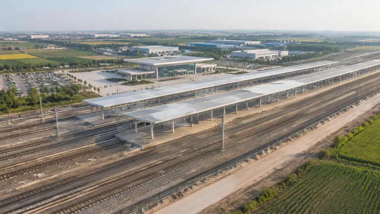
4 Shape the open space before the buildings
Airport land is often flat and open, which is rare in a city. The open space is the asset that makes the reuse attractive, so it should be designed before the buildings are fixed. Starting with the park gives the plan a structure that later phases can follow.
4.1 Let the runway become the spine
A runway is a straight line several kilometers long, and that line can organize the whole park. In the GenAnywhere scene, use the runway as a promenade, a series of gardens, or a water channel. The width is enough for paths, planting, and stormwater, and the length connects the far ends of the site. Buildings can sit along the spine without blocking it. The result is a park with a clear identity rather than a collection of leftover spaces.
4.2 Place water and planting early
Stormwater from the old aprons and parking areas has to go somewhere. Use the low ground and the edges of the runway for ponds, swales, and planting. Those features can be built in the early phase and give the park a finished look while the buildings wait. They also reduce the cost of drainage for later phases. Place them on the scene and check that they do not conflict with the reuse plans for the hangars.
5 Phase the release of land
Airport land is often released in pieces, and the reuse plan has to work with the pieces that become available. Starting where infrastructure already exists is usually cheaper than starting in the middle of a field.
5.1 Start where infrastructure exists
Begin with the area around the terminal and the main access road, where water, power, and drainage are already in place. That area can host the early park, a market, or an initial group of workplaces. Use it to test the plan in real conditions before the larger phases begin. The early success also helps build support for the later work.
5.2 Keep operations separate during transition
If part of the airfield is still in use, the new park has to stay clear of the active area. Draw the boundary and the buffer, then check the paths and the roads against it. A trail that crosses an active taxiway is not viable. The plan should show how the boundary will change as the airport releases more land, so the public can see the sequence.
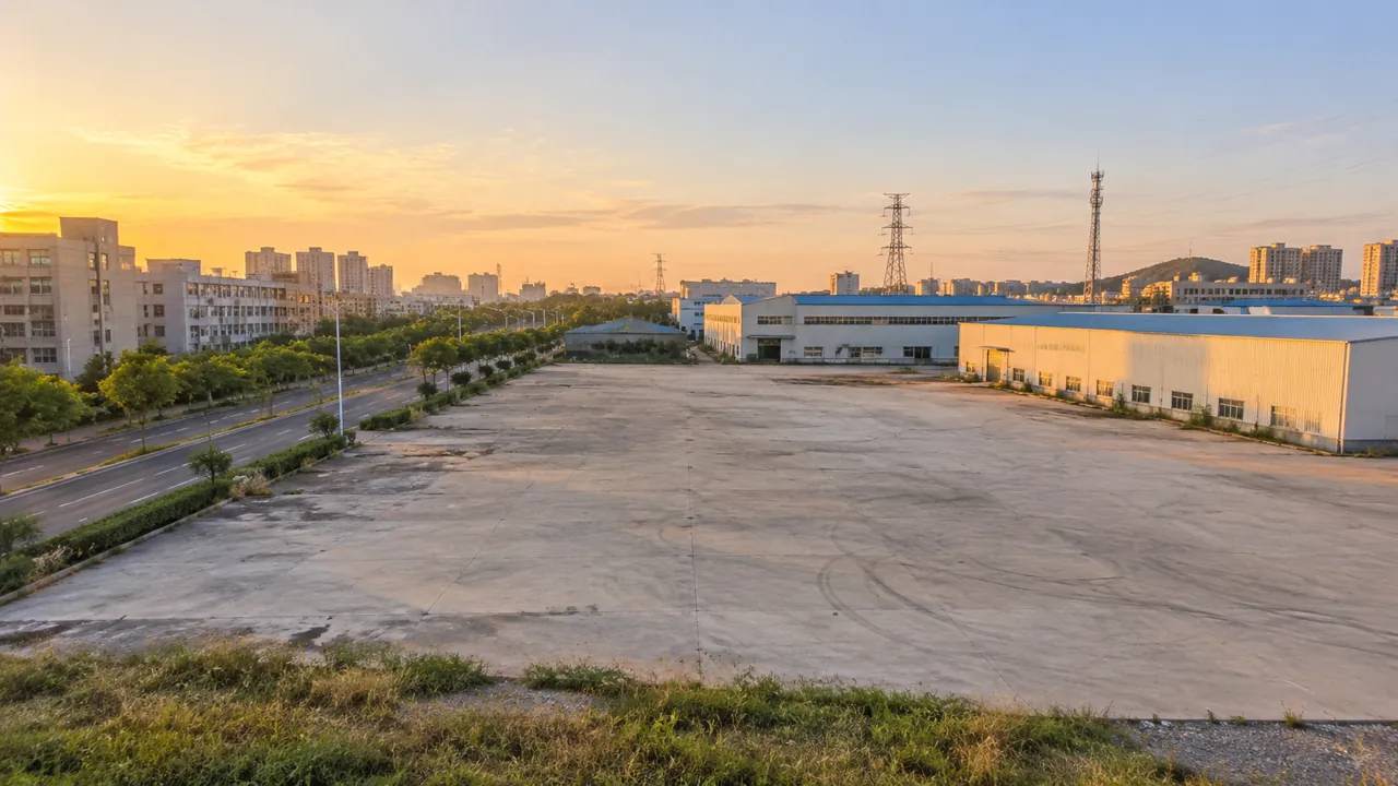
6 Take the plan to the public
Airport reuse attracts interest because the land is large and the change is visible. The public wants to understand what will replace the runway, and the review needs a clear answer. A scene that can be viewed from several angles is more useful than a single rendering.
6.1 Show the same scene at two scales
Present one view of the whole site and one view of a typical block. The whole-site view explains the structure, while the block view shows what it will feel like to walk there. Use the same colors and labels in both. When the scales are consistent, people can move between them without losing their place. That consistency also makes the plan easier to review.
6.2 Export for the design team
Preview the scene, then export a GLB for the architects, landscape architects, and engineers. The file can open in Revit, Rhino, SketchUp, Blender, ArcGIS Pro, GISBox, Unity, Unreal Engine, or Wings Engine. Check the scale against a known runway length or building dimension. The GenAnywhere app is where the scene is built, and the workflow page shows how the export fits into those tools. For planning policy context, the Royal Town Planning Institute publishes material that many review panels use.
6.3 Be explicit about aviation constraints
The scene can show the runway, the buildings, and the proposed park, but it cannot confirm which aviation restrictions still apply. State that clearly and name the authority that will decide. List the constraints that are known and the ones that need confirmation. A plan that is honest about those limits is easier to defend than one that implies the airfield is free of obligations.
7 FAQ
FAQ-1 Where does an airport reuse plan begin?
Map the airfield geometry and the buildings that remain. Runway length, taxiway width, hangar spans, and the main access road set the structure of the reuse. Then confirm which aviation restrictions still apply, because they may limit building heights or the use of certain areas. With those two pieces in place, the team can start to test where the park, the neighborhoods, and the workplaces should go.
FAQ-2 Can hangars be reused for public uses?
Yes, in many cases. Hangars offer large clear spans and high ceilings, which suit markets, sports halls, and light industry. The frame and the roof need a structural review, and the building may need new insulation, fire protection, and services. A hangar that is sound can become an anchor for the new district. One that is not may still be worth keeping in part, if the frame has heritage value.
FAQ-3 How do you handle noise from a nearby airport?
Check the current noise contours with the aviation authority and keep sensitive uses outside the louder areas. Parks, parking, and light industrial uses can often sit closer than housing or schools. Test the layout against the contours and show the result in the review. If the airport is still operating, the plan should also account for future changes in flight paths or traffic.
FAQ-4 What should the public review show?
Show the whole site and a typical block at the same scale, with the runway, the park, the new buildings, and the access routes. Add the aviation constraints that remain and the phasing plan. Keep the images consistent so people can compare the options. End with the decisions the public and the council need to make, rather than a summary that leaves the next step unclear.
Content and technical notes
This article was prepared by the GenAnywhere team with AI-assisted drafting and human review.
Product features, formats, and availability change as the platform evolves; refer to the official GenAnywhere website for current details.
For technical questions or corrections, contact support@genanywhere.com.
Last reviewed: 2026-11-18.