
Railway edits: what GenAnywhere lets teams adjust
Buildings and layers along a rail corridor can be changed after generation; the track, the signalling and the property line cannot.
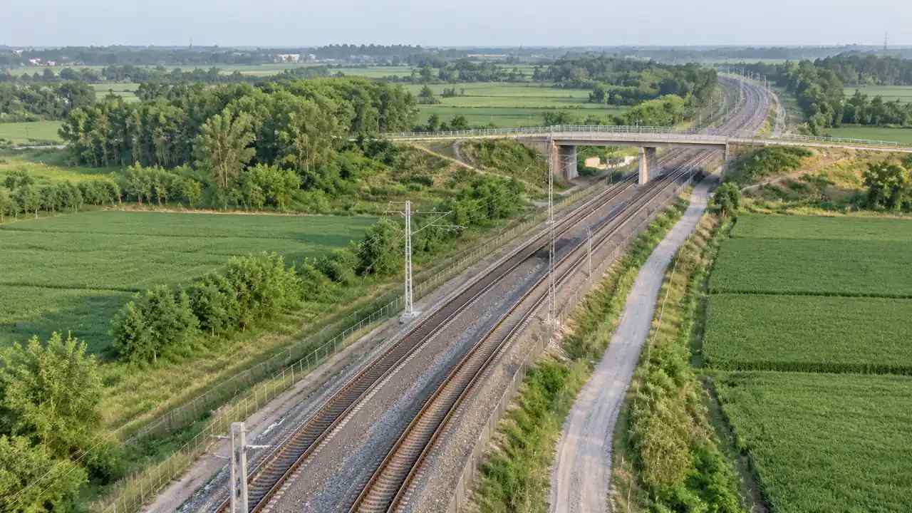
A rail corridor generated in GenAnywhere can be edited in two ways: individual buildings can be replaced, moved, rotated and resized, and terrain, buildings and vegetation can be managed as layers. Those edits cover massing and setting. They do not reach the track, the signalling or the legal boundary, and a review that expects them to will spend its time on the wrong questions.
1 The edits in scope
1.1 Buildings: four controls
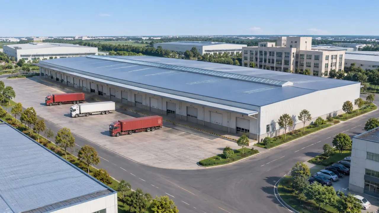
A building can be replaced with another type, moved across the ground, rotated to a new alignment and adjusted in height. That is a short list, and it covers what a route or station argument usually needs. A shed that blocks a new access road can be moved two hundred metres and the effect read immediately. A taller block can be tested for how it crowds a platform approach. The controls are for comparison, not for detail design. Two variants in one sitting is usually enough, because the third option is normally a compromise that nobody in the room is willing to argue for.
1.2 Layers: three views
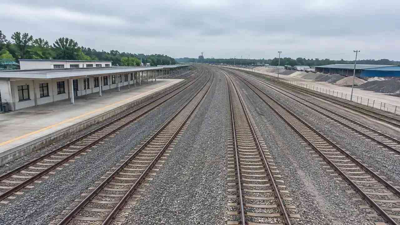
Terrain, buildings and vegetation can each be shown or hidden, and each can be managed as a layer in the scene. Hiding buildings exposes the land profile that a track has to follow. Hiding vegetation shows the built edge of a settlement without the softening effect of trees. Hiding terrain is rarely useful and occasionally revealing. A layer that is switched off should be mentioned out loud during the session, since the audience cannot see what is absent from the frame. Reviewers switch states instead of regenerating, which is what makes a short workshop possible.
2 Where edits help on a rail job
2.1 Station forecourt and access
A station review usually turns on how people and vehicles reach the platform, and the generated scene holds the buildings and ground that shape that approach. Removing a shed, moving a kiosk or raising a hotel block changes what the forecourt looks like from the street and from the platform end. Neither view replaces a pedestrian model. They do let a group agree on which arrangement is worth modelling, which is a cheaper decision to make early. Take one view from the street and one from the platform end, because the two disagree more often than the plan suggests they will.
2.2 Lineside sheds and depots
Depots are full of sheds that get extended, replaced or demolished in stages, and the generated corridor often shows the estate as it stood when the imagery was captured. Editing the buildings brings the scene closer to the estate a team actually works with. A demolished shed can be removed to free ground for stabling. A new maintenance building can be blocked in at roughly the right size. Neither edit makes the depot model correct, and both make the conversation concrete. Bring the depot manager's list of recent works to the session, since the imagery will not contain anything completed after its date.
3 What edits cannot touch
3.1 Track, signalling and overhead line
Rails, points, signals, overhead line equipment and lineside cabinets are not in the generated content, so there is nothing there to edit. When a team asks whether the track can be nudged, the answer is no, and the reason is that the platform never built it. The alignment belongs to the design model. If a track change is the question, the edit happens in that model and the scene is re-used as the ground it has to fit. Reuse the exported ground as a fixed reference, so that two versions of the design can be compared without reopening the terrain argument.
3.2 Survey, clearance and property lines
Edits do not produce survey information, clearance checks or legal boundaries. Moving a building in the scene says nothing about the cadastral parcel it stands on, and raising one says nothing about structure gauge. Those facts come from survey, legal records and design checks. A scene that shows a building inside a corridor is a prompt to check the parcel, not a finding. Land records and professional guidance sit outside this tool, and organisations such as RICS publish material on property and boundary practice that belongs with those questions. Teams that forget this tend to discover the boundary problem at the worst moment.
4 Editing discipline
4.1 Versioning the screenshots
A corridor produces a lot of similar frames, and the differences between them are small. Name each capture with the date, the place and the variant, and keep them in one folder. Two screenshots that differ by a rotated shed are easy to swap by accident in a slide deck. The naming habit costs seconds and prevents an argument about which option was approved. If the audience is remote, put the variant name on the image itself. A folder per review with a subfolder per variant is enough structure for most teams, and it survives a change of staff.
4.2 Correcting the generated guess
Heights are estimated and types are inferred, so some buildings arrive wrong. A workshop read as a warehouse, a signal box read as a shed, a canopy read as a roof: all common. Correct the ones the audience will recognise, and leave the rest. A scene with ten obvious errors loses credibility faster than a scene with one honest gap. Note which buildings you changed so the record matches what was shown. List those corrections in the handover, so the next reader knows which parts of the scene came from judgement rather than from data.
5 Handoff
5.1 Exporting with a change note
Preview the scene and export a GLB when the review moves to another team. Add a short note listing the building edits and the layer states used in the key screenshots. Without that note, a replaced building looks like original data, and a hidden layer looks like a missing one. The authorization statement sets out what the exported file may be used for, which is worth reading before it is circulated widely. Keep the note short enough that people read it, and specific enough that they can check each line against the file.
5.2 Who keeps the record
Decide who owns the edit record before the review, not after. In most teams it is the person who ran the scene, because they know what changed and why. If the file passes through several hands, the record tends to erode. One page with three columns, building, change, reason, is enough. Store it beside the export rather than in a chat thread that will be hard to find later. The record is more useful than the file when a decision is revisited a year later and nobody remembers which options were on the table.
6 Before you export
6.1 Scope
Choose the extent that matches the decision. A station area needs a tight frame around the forecourt and the platform ends. A route option needs a corridor wide enough to show the settlements it touches. Splitting the route into named sections makes each file easier to check. The receiver should be able to tell from the file name which section they are opening. Extent also decides how the file behaves in the receiving tool, since a long corridor takes longer to open and to navigate.
6.2 Missing assets
Track, signalling, overhead line, rolling stock and any building added since the imagery are outside the generated set. List them, with an owner, in the same note that records the edits. That list tells the design team what it is adding and tells the reviewer which parts of the picture are context. A list without owners tends to stay a list.
Open the GenAnywhere app and adjust a corridor scene
6.3 Purpose
State what the file is for. A station access study, a depot expansion check and a route options comparison each need a different extent and a different level of correction. Purpose also decides whether the export is a one-off or the base for a series of reviews. If it is the base for a series, keep the edit record from the start. Reconstructing it later is tedious and unreliable. Write the purpose in the same note as the edits, not in a separate message that will be hard to find by the time it matters.
7 FAQ
FAQ-1 Can I move the track in the scene?
No. The platform does not generate track, so there is nothing to move. The alignment comes from railway design software and is placed in a downstream tool against the exported ground. If a track shift is under discussion, make the change in the design model and use the scene to judge how it sits in the land. Keeping those two jobs apart avoids a long detour.
FAQ-2 What edits are supported?
Buildings can be replaced, moved, rotated and adjusted in height or type. Terrain, buildings and vegetation can be managed as layers and shown or hidden. The edits cover massing and setting along the corridor. They do not extend to track, signalling, property boundaries or engineering checks. Most early reviews work comfortably inside that range once the boundary is clear.
FAQ-3 Can I edit vegetation?
Vegetation can be shown or hidden as a layer, which is how most reviews use it. Individual trees and shrubs are not edited one by one. If a specific tree matters to a sightline argument, mark it on a plan and refer to it in the caption. The layer is a reading aid, and treating it as a planting design would misrepresent what the scene contains.
FAQ-4 Do my edits survive the export?
Yes. The GLB carries ground, buildings and vegetation as generated, plus the building edits you made before exporting. Layer visibility is a viewing state rather than scene content, so record it in the note instead of expecting it in the file. Test the export in the receiving application, then check that the buildings you moved appear where you expect.
See how an edited corridor moves into a GLB workflow
Content and technical notes
This article was prepared by the GenAnywhere team with AI-assisted drafting and human review.
Product features, formats, and availability change as the platform evolves; refer to the official GenAnywhere website for current details.
For technical questions or corrections, contact support@genanywhere.com.
Last reviewed: 2026-11-13.