
Vertipad siting: what airport teams test in GenAnywhere
Approach paths, ground access, and the edges of an operating airfield
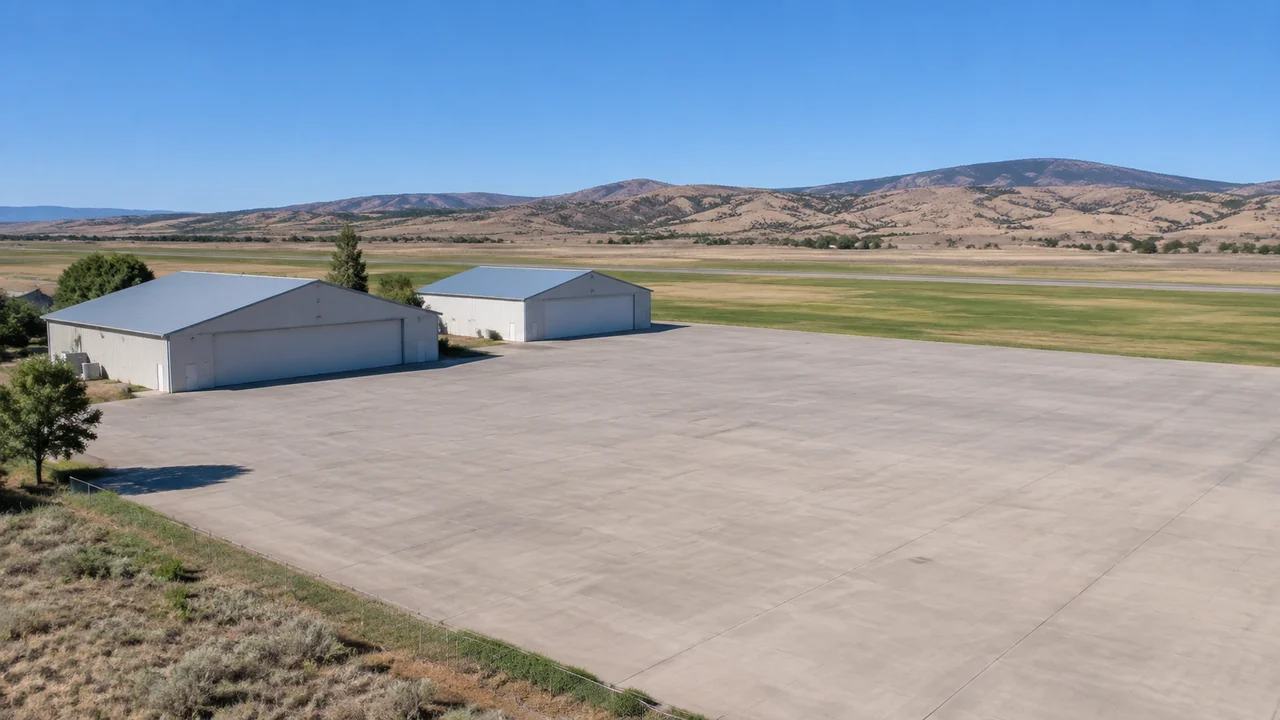
A vertipad is a small piece of pavement with a large set of constraints around it. Aircraft need a clear approach and departure path, passengers need a safe way in, and the airfield needs the pad to sit without disrupting the runway or the taxiway. GenAnywhere builds an editable 3D site model from a map selection, which lets an airport team look at those conditions on the same ground before a location is chosen.
1 What a new vertipad has to settle
1.1 Which approach paths matter?
A vertical takeoff aircraft climbs steeply, but it still needs a path free of poles, cranes, and tall buildings. The approach can come from more than one direction, and the worst case is usually the one nobody drew. On an airfield edge, the obstacles may include hangars, light masts, and trees that sit outside the property but inside the path. A 3D view of the surrounding ground shows where those obstructions sit relative to a candidate pad, which helps the team decide which directions are worth studying in detail.
1.2 How does ground access shape the pad?
Passengers arrive by car, shuttle, or rail, and each mode needs space for queuing, drop-off, and secure screening. A pad placed close to the runway may be operationally convenient and hard to reach without crossing a security line. A pad near the terminal may be easy to reach and crowded with aircraft traffic. Seeing the terminal, the roads, and the apron together lets a team test a location against both questions at once, rather than solving access and then discovering the airside conflict.
2 Reading an airfield edge in 3D
2.1 What does the surrounding terrain hide?
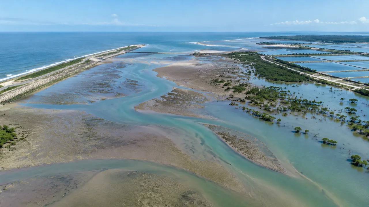
Flat ground can hide a shallow rise that blocks a sightline, and a tree belt can hide a service road that would make a good access route. Terrain around an airfield is often modified for drainage, which creates swales and berms that do not appear on a simple site plan. A 3D scene shows those small changes in elevation and how they sit against the runway, the perimeter road, and the nearest buildings. It also shows how a pad would meet the ground at a specific corner, where a short ramp or a small cut might be needed. That context is useful before a survey team is sent to confirm the details.
2.2 How do teams compare two pad locations?
Use the same camera height and the same set of directions for both locations. Look from the approach path, from the terminal, and from the access road. Then check what each location does to the surrounding operations: a pad on the north side may keep vehicles away from the apron, while a pad on the south side may shorten the walk for passengers. The comparison should include the constraints, not just the view, so the team can see which location creates fewer conflicts to resolve.
3 Working beside existing airport operations
3.1 How does the pad relate to runways and taxiways?
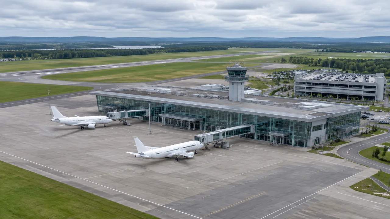
A vertipad does not operate in isolation. Its approach path may cross a taxiway, its access road may cross a service road, and its lighting may sit near a navigation aid. The FAA publishes guidance on advanced air mobility and airport planning that helps teams frame these questions. In the scene, the runway, taxiway, apron, and terminal give a fixed reference, so a proposed pad can be judged against the airport layout rather than against an empty field. The point is to find conflicts early, while the pad can still move.
3.2 What about noise and the community edge?
A vertipad is quieter than a runway, but it is also closer to the people who use the terminal and the roads around it. Flight paths over a parking lot are different from flight paths over a neighborhood, and the difference matters in a public meeting. Putting the surrounding streets and buildings in the scene shows which approach directions pass over homes and which stay over airport land. That does not settle a noise question, but it helps the team ask the right one before the study is commissioned.
4 Documenting the siting review
4.1 What should the review record?
Record the pad location, the approach directions tested, the obstacles noted, and the access routes considered. Add the source date of the imagery and the assumptions about aircraft size and passenger volume. Note which questions need an operational assessment and which need a survey. A short record per location is more useful than a long narrative, because it lets a reviewer compare two sites without reading the whole file. Keep the record with the scenes so the evidence and the picture stay together.
4.2 How do teams avoid overclaiming?
Say what the model shows and what it does not. It shows terrain, buildings, vegetation, and water as interpreted from map and satellite sources. It does not show obstacle limitation surfaces, wind patterns, or operational procedures. Those belong to the airport's technical studies and to the regulator. When a rendering is presented, label it as a site context view rather than an approved layout. That habit protects the team and keeps the public discussion honest.
5 Where GenAnywhere fits
5.1 What can teams build and adjust?
GenAnywhere generates a 3D scene from an area chosen on a map, then lets a team edit the buildings it finds. A structure can be replaced, moved, rotated, or changed in height and type, and terrain, water, and vegetation are generated and matched to the ground. Buildings, terrain, and planting can be viewed and managed as separate layers. For a vertipad study, that supports tests of pad position, terminal access, and the height of nearby structures without a full design model.
5.2 What does export support?
After preview, the scene exports as a general GLB file for 3D, BIM, GIS, and game engine workflows, including the directions covered in the official tutorials. That lets an airport planner share the site with an architect, an operator, or a public affairs team. The file is a review scene, not a survey product, and the receiving software decides how coordinates are handled. Test the import early, especially when several organizations will touch the same model.
6 Limits and next steps
6.1 When is a model insufficient?
When the question involves obstacle clearance, wind, noise contours, or certification, a surface scene is background. Those answers come from airport technical studies and the responsible authority. The model can show where a proposed pad sits relative to the runway and the terminal, which helps a team brief those studies. It cannot replace them, and it should not be presented as if it could. Knowing that boundary is part of using the tool well.
6.2 Who should be in the room?
Operations, planning, security, and passenger services each see a different pad. A session that includes all four tends to surface conflicts that a review that stops at planning would miss, such as a drop-off lane that blocks a service gate or a boarding walk that crosses a fuel route. Bring the scene to that session and let each group point at the same ground. The model does not make the decision, but it gives the group a common reference for the argument. That is usually enough to move a stalled discussion forward, because people stop describing different sites and start describing the same one.
6.3 How does a team start?
Vertipad siting moves faster when the team tests one clear question at a time. Choose one airfield edge and build a rough scene before the next siting discussion. Keep the pad as a simple shape and the camera views fixed. The aim is to find the access and obstacle questions that the site has to answer. If the scene makes a hidden conflict obvious, it has done its job. Then repeat the method at the second location and compare the two on the same terms.
Start with a map selection in the browser app, then follow the site workflow to prepare the airfield review.
7 FAQ
FAQ-1 Does the platform design vertipads?
No. The platform builds a site scene, not a vertipad design. It shows the ground, buildings, vegetation, and water around a candidate location, and it lets a team move or resize structures to test a layout idea. The pad geometry, marking, lighting, and operational procedures come from the design team and the airport's technical studies. Use the scene to frame those discussions and to show a non-specialist audience where the pad would sit.
FAQ-2 Can the model show obstacle surfaces?
It can show terrain, buildings, and vegetation that may intrude on an approach path, but it does not calculate or draw obstacle limitation surfaces. Those surfaces come from airport planning standards and are tied to the runway and the aircraft category. The model is useful for spotting a tall building or a tree line that deserves a closer look. It is not a substitute for the airport's obstacle analysis or the regulator's review.
FAQ-3 How do teams compare a rooftop and a ground pad?
Use the same views and the same assumptions for both. A rooftop pad may shorten the passenger walk and remove the need for a new access road, while a ground pad may simplify the structure and the fire access. The scene can show how each option sits against the terminal, the apron, and the surrounding buildings. It cannot decide which is safer or more operable. That call belongs to the airport's technical and operational review.
FAQ-4 What does the export support?
The export is a general GLB scene with the buildings, terrain, water, and vegetation shown in the preview. It can move into 3D, BIM, GIS, and game engine workflows, including the tools covered in the official tutorials. It does not carry survey coordinates, obstacle surfaces, or operational data. Confirm how the receiving software handles scale and orientation, and test the import before a production workflow depends on it.
Content and technical notes
This article was prepared by the GenAnywhere team with AI-assisted drafting and human review.
Product features, formats, and availability change as the platform evolves; refer to the official GenAnywhere website for current details.
For technical questions or corrections, contact support@genanywhere.com.
Last reviewed: 2026-11-08.