
Reservoir site review: can a new site be previewed in GenAnywhere?
How a terrain-first look at a candidate valley helps a water team ask better questions early.
Yes, a candidate reservoir site can be previewed before any engineering begins, and the preview has a narrow but useful job. It shows the shape of the valley, the slopes that frame it, and the routes that reach it. Those physical facts shape every later decision, yet they are often discussed through contour maps that few people at the table can read quickly.
1 Read the valley before the dam alignment
1.1 What does the site look like from above and at grade?
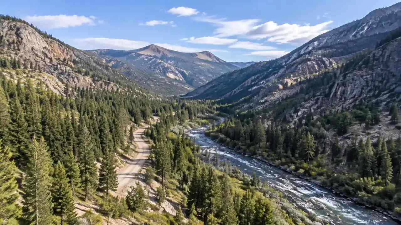
An aerial view shows the drainage pattern and the general form of the valley. A view from the valley floor shows something different: how steep the sides feel, where a road disappears behind a ridge, and how much room exists between the watercourse and the slope. Both views belong in an early conversation.
A map-based 3D model offers both without a field visit for every participant. The team can rotate the scene, drop to eye level, and compare candidate locations in the same session. That shared view keeps the discussion anchored to the place rather than to a set of numbers.
1.2 Which side slopes limit access?
Reservoir sites are often chosen for a narrow valley, and the same topography that makes a site attractive also constrains how equipment reaches it. A model with terrain makes those constraints visible, including the difference between a gentle shoulder and a face that would need a switchback road.
GenAnywhere builds this scene from map selection, generating terrain, water, buildings, and vegetation as editable layers. The tool can show where an existing track follows a contour and where it cuts across one. Those observations are questions for a civil engineer, not answers the model can supply.
2 Check how people and equipment reach the site
2.1 How do existing roads meet the terrain?
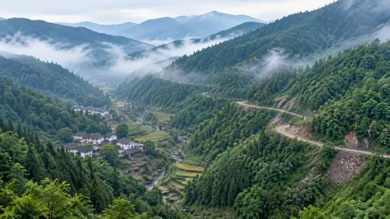
Access is usually the quiet constraint on a water project. A county road may approach the valley from the wrong side, or a ranch track may steepen sharply before the site. Seeing the approach in three dimensions turns a vague concern into a specific question about grades, turn radii, and seasonal closures.
Sketch the route into the scene and look at it from the driver's seat as well as from above. If the approach looks doubtful, the team can investigate alternatives before land negotiations advance. If it looks reasonable, the engineer receives a defined starting point.
2.2 Where would a construction laydown area fit?
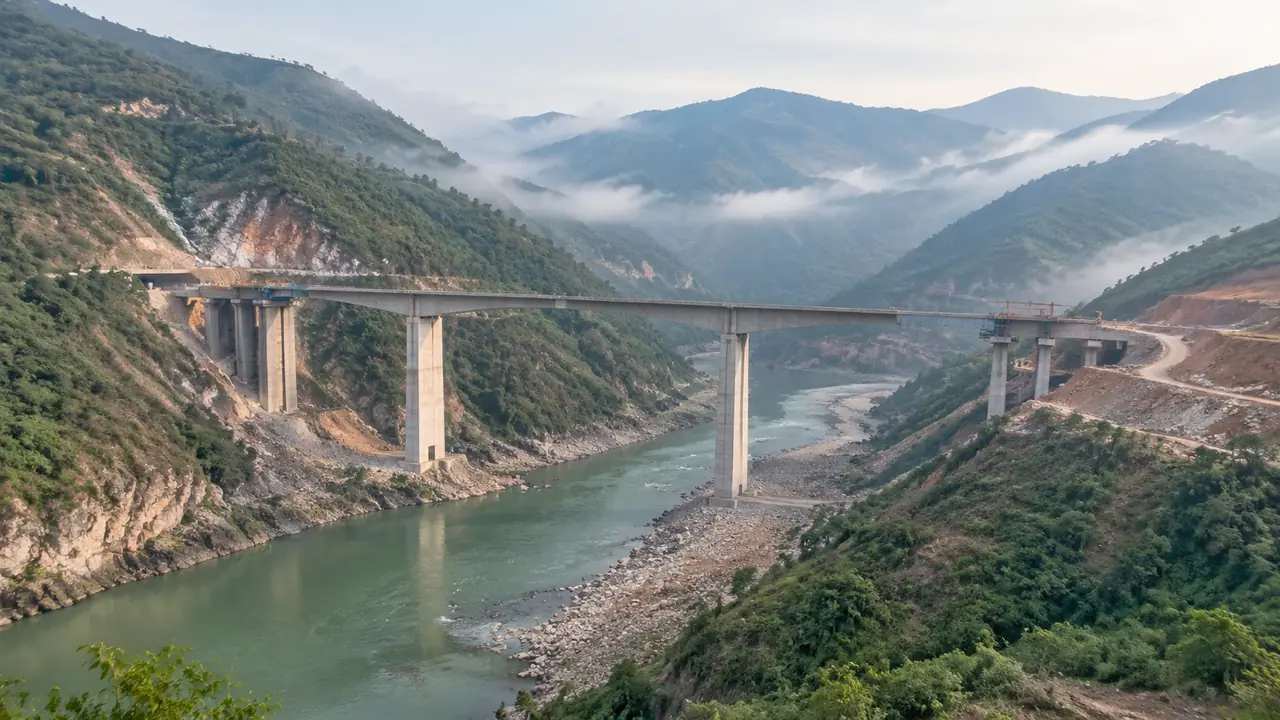
Large projects need flat ground for equipment, materials, and temporary facilities. Flat ground is scarce in a valley chosen for its relief. The model helps the team identify benches and terraces that might serve, then check how far they sit from the work area.
Treat any candidate as provisional until a geotechnical review. A surface that looks flat from above can hide fill, drainage, or unstable ground. The value of the preview is in narrowing the search, not in certifying a site.
3 Understand the watershed context
3.1 Which tributaries and vegetation shape the setting?
A reservoir sits inside a watershed, and the surrounding land tells part of that story. Side drainages, tree cover, and the condition of the slopes all influence how the site reads and what regulators will ask about. A model that includes vegetation and water helps the team see those relationships together.
The vegetation layer is inferred from map data, so it should be checked against recent imagery and a field visit. Still, the pattern is often enough to raise the right questions about erosion, habitat, and the visual character of the valley.
3.2 What should the team ask hydrologists?
The model cannot answer questions about yield, storage, or flood routing, and it should not pretend to. What it can do is give the hydrologist a clear picture of the terrain the questions refer to. A conversation about a specific slope is more productive than one about a coordinate.
Prepare a short list before the meeting: how the side drainages behave in a wet year, where sediment is likely to collect, and which upstream areas deserve a closer look. Bring the scene so the answers can be tied to visible features.
4 Compare reservoir alternatives
4.1 How do you compare two valleys fairly?
Two candidate sites are rarely described in the same terms. One report emphasizes access, another emphasizes relief, and the comparison becomes a contest of narratives. A shared modeling approach fixes the baseline so each site is judged on the same set of visible facts.
Generate both scenes at the same scale and save matching viewpoints. Then compare access, side slopes, and the room available near the watercourse. The exercise will not choose a site. It does show which differences are real and which are artifacts of how each proposal was drawn.
4.2 What should an early exhibit show?
An early exhibit for a board or a community group should locate the site, show the valley form, and indicate the access route. It should also state what the image does not include, from property lines to engineering works. A clear boundary between context and proposal prevents misunderstandings later.
Keep the exhibit to two or three views. A single aerial, a view from the access road, and a view across the valley will answer most orientation questions without implying that a design exists.
5 Match the preview to the approval path
5.1 What belongs in early consultation?
Early consultation with the relevant water and environmental agencies is about scope, not approval. Bring the terrain context and a description of the concept, then ask which studies the agency expects. The Bureau of Reclamation publishes material on water facility planning that can help a team frame its questions. The answers shape the work plan and often reveal constraints the team had not considered.
Do not present the model as evidence of feasibility. Present it as a way to discuss the site. Agencies are used to maps and aerials, and a clear three-dimensional view can make a technical conversation shorter without overstating what has been demonstrated.
5.2 What does a site model not decide?
The model does not decide dam type, spillway design, storage volume, or environmental mitigation. It does not establish water rights, and it does not replace the geotechnical and hydrologic studies that a project requires. Those decisions belong to specialists and to the regulatory process.
State that boundary in every meeting. A team that is clear about the limits of its picture is easier to trust when it presents the parts that are well founded.
6 Put the preview to work
6.1 What should the team prepare?
GenAnywhere lets a water team select a candidate area on a map and generate an editable 3D model of the valley, with terrain, water, buildings, and vegetation in separate layers. Buildings can be replaced or adjusted, and the camera can move from an aerial view to a position near the valley floor. For a reservoir study, that range of views is more useful than a single rendered image.
Water and vegetation sit on their own layers, so the team can look at the valley with or without tree cover. A building on the access road can be replaced or removed if it has changed since the data was captured. Use the scene to prepare the questions for the hydrologist, the geotechnical engineer, and the access designer. Each specialist will see something different in the same ground, and the conversation is better when they share it.
6.2 How does the scene reach dam engineers?
Export the model as GLB and open it in Revit, Rhino, SketchUp, Blender, Unity, Unreal Engine, or a GIS tool such as ArcGIS Pro or GISBox. Engineers can then place their own surfaces, alignments, and sections against the terrain context without rebuilding the valley from scratch.
Keep the export labeled by layer and note the data date. A clean handoff helps the receiving team understand which surfaces are context and which are design intent.
6.3 What limits should the team state?
The model is built from map and satellite data and reflects a moment in time. It is not a survey, and it does not carry legal boundaries or verified ground conditions. Third-party data rights may apply, and the exported scene has a commercial license with conditions on resale and training use.
Write those limits into the study notes. The model's usefulness depends on people understanding what it is: a shared picture of terrain that helps a project team ask sharper questions before the expensive work begins.
Preview a reservoir valley in GenAnywhere
See how terrain context moves into design
7 FAQ
FAQ-1 Can the model show different water levels?
The model includes water features derived from map data, and the terrain can be viewed from different angles. It does not simulate a reservoir at a chosen elevation or calculate storage. Water level scenarios belong to hydrologic and engineering studies. You can use the terrain view to discuss where a shoreline might sit, then hand the question to the specialists who can model it.
FAQ-2 Does the model include property boundaries?
No. The scene is generated from map and satellite data and does not establish parcel lines. Property boundaries come from the county recorder and should be overlaid in a GIS tool if the team needs them. For a reservoir study, confirm ownership and access rights with the relevant agencies before relying on any visual boundary.
FAQ-3 Can the model help compare two dam alignments?
It can help the team see both alignments in the same kind of scene, which makes the terrain differences easier to discuss. Generate both areas at the same scale and save matching views. The comparison supports a conversation about access, side slopes, and available space. It does not evaluate stability, cost, or hydrology, so those criteria still need engineering study.
FAQ-4 What should be verified with the regulator?
Confirm the applicable permitting path, the studies the agency expects, and any seasonal restrictions on construction or in-water work. Verify environmental overlays and cultural resource requirements with the responsible offices. The model can help those conversations by showing the site clearly, but the agency's guidance, not the scene, defines what a project must demonstrate.
Content and technical notes
This article was prepared by the GenAnywhere team with AI-assisted drafting and human review.
Product features, formats, and availability change as the platform evolves; refer to the official GenAnywhere website for current details.
For technical questions or corrections, contact support@genanywhere.com.
Last reviewed: 2026-11-10.