
Zoning overhaul review: test Rochester blocks in GenAnywhere
A practical way to read height, setback, and massing effects before a code update reaches public review.
A zoning overhaul review usually arrives as density tables, a few diagrams, and one rendering of a single block. Testing the proposal means putting those rules onto real streets and checking how the buildings they allow sit against what is already there. GenAnywhere builds that test area from map data, so a planning team can compare the current code with a proposed one well before a hearing.
1 What a zoning scenario has to show
1.1 Map the district before arguing about numbers
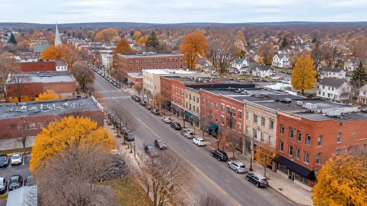
Height limits and floor area ratios get easier to discuss once they are attached to a place. Pick the corridor or neighborhood where the change will be felt, then model that area as it stands today. A baseline built from existing conditions gives residents and staff a shared reference for every comparison that follows.
Commercial districts rarely grow in even increments. Two story storefronts sit beside a four story corner building, and a rear parking lot breaks the street wall. When a new allowance is applied across that pattern, the result varies from block to block, which is what a flat table hides.
1.2 Read height and setback changes in context
A change of two stories reads differently depending on where it lands. On a narrow street with continuous frontage, added height is felt at the sidewalk as a shift in light and enclosure. Behind a deep setback, the same increase may barely register from the street, even though it changes the skyline from a distance.
Setbacks interact with height in ways that are hard to picture from a section drawing. A reduced front yard pushes the facade closer to the curb and can make a modest building feel taller. Testing the two variables together, in the same scene, keeps that relationship in view.

2 Build the test area from map data
2.1 Select the blocks that carry the argument
GenAnywhere starts with an area drawn on the map. The platform generates an editable 3D site model of it using satellite and map data, plots buildings as separate objects, estimates their heights, infers building types, and picks up surrounding vegetation. For a zoning question, the useful part is the separation: each building can be identified and changed without rebuilding the district.
Choose blocks that carry the argument rather than the whole city. A corridor of six to ten blocks usually holds enough variety to show how a rule behaves at a corner, along a mid-block parcel, and at the edge of a residential area. Smaller test areas are easier to check against the record drawings staff already have.
2.2 Adjust heights, footprints, and building types
Individual buildings can be replaced, moved, rotated, and re-sized, and a height or type change applies to the object you select. That makes it practical to approximate a redevelopment scenario: raise one parcel to the proposed limit, swap a low warehouse for a mid-rise block, or test a taller building at the corner where the transit stop sits.
Footprints matter as much as heights. A building that covers most of its lot produces a different street than a tower on a small base, even at the same floor area. Adjusting both lets the team show what the code permits in form and in figures.
3 Compare two futures side by side
3.1 Keep the baseline visible
Save the existing condition as the baseline, then build each proposal as a separate version. Keep the camera position, the time of day, and the visible layers the same across versions. When those conditions match, a side by side view shows the change itself rather than the difference between two presentations.
One variable at a time is a useful discipline. Test the height allowance, then the setback, then any bonus that adds floor area. Reviewers can follow a sequence of small changes more easily than a single image that combines every revision.
3.2 Show neighbors what changes at eye level
Most people experience a district from the sidewalk, so at least one view should be set at eye level. Stand at a corner, look down the street, and compare the baseline with the proposal. The question is not whether the new building is attractive. It is whether the street still feels like the same place at ground level.
Aerial views answer a different question. They show how a taller building sits in the wider pattern of roofs, trees, and open space, which helps when the debate turns to skyline effects or to the scale of one parcel against its neighbors.
4 Where a quick model helps review
4.1 Public meetings and design review
At a public meeting, a model can replace the usual stack of plans with one scene that people can walk through on a screen. Staff can point to the parcel in question, switch the proposal on and off, and answer questions about what a rule would allow on a specific lot. That exchange tends to be more concrete than a discussion of density numbers.
The same scene works for a design review board. Members can ask for a view from a particular intersection and see the answer without waiting for a new rendering. The conversation stays on the proposal and its context instead of on the quality of the drawing.
4.2 Early consultant briefings
Consultants briefing a planning department face a similar problem. A model built from the same map base as the city's own data gives both sides a common reference before the formal submission. Differences of interpretation surface earlier, when they are still easy to resolve.
5 Limits and handoff
5.1 What the model does not decide
A site model shows form and context. It does not decide whether a proposal meets the code, and it does not replace a zoning analysis, a traffic study, or a legal review. Heights are estimates derived from available data, and building types are inferred, so any figure that carries legal weight has to come from the record.
Nor does the model settle questions about use, parking demand, or infrastructure capacity. Those depend on information outside the geometry, and a persuasive image can hide a gap in the underlying case if the team lets it.
5.2 Export for tools teams already use
Once the comparison is settled, the scene can be exported as a general GLB file for 3D, BIM, GIS, or game engine workflows. A planning office might bring it into a presentation tool, while a consultant continues in Revit, Rhino, or Blender. The export carries the geometry and scene structure, and the receiving team decides what to refine.
6 Before the hearing: a practical run-through
6.1 Prepare three scenarios, not ten
Three scenarios are usually enough: the current code, the proposed code, and one variant that tests the upper end of what the proposal allows. More versions blur the argument and slow the meeting. Name each one plainly so nobody has to guess which image is on screen.
6.2 Check the edges of the district
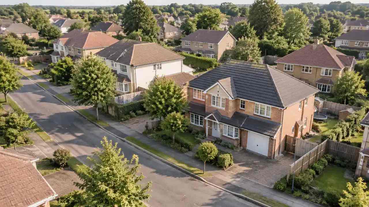
District edges deserve their own check. A height limit that looks reasonable in the middle of a corridor can produce an abrupt step where it meets a lower density neighborhood. Set a camera at that boundary and compare both versions before someone in the audience finds the awkward junction for you.
6.3 Write down assumptions
Write the assumptions into the handout: data date, height estimation method, which parcels were edited, and what the model leaves out. A short list protects the team when a question turns to a number the model cannot support, and it helps the next person who opens the file. Background on how zoning codes are written and amended is available from the American Planning Association, which is worth reading before the scenario work begins.
You can try the same steps on a district you know by opening the GenAnywhere app and drawing the area before changing anything. The platform workflow overview shows how a scene moves from map selection to a shareable export.
7 FAQ
FAQ-1 Can the model show a proposed height limit as a solid volume?
Yes, within the limits of the source data. You can raise individual buildings to the proposed limit and compare the result with the existing block. The volume is an approximation of what the rule would allow on that parcel, not a designed building. Sloped sites, partial floors, and mechanical penthouses are simplified. For a hearing exhibit, pair the view with the adopted code language and a note on how heights were estimated.
FAQ-2 What happens when the map data is out of date?
Treat the model as a starting point and correct it. Recently completed buildings may be missing, and demolished structures can still appear. GenAnywhere lets you add, remove, or replace individual buildings, so the team can bring the test area closer to current conditions. Keep a short log of edits and the date of the base data. In a zoning debate, a documented correction is more useful than a polished scene with no record.
FAQ-3 Do residents need training to view a scenario?
Not much. A scene can be opened in a browser, and a presenter can drive the view while people watch. Residents can ask for a specific corner or street and see it change. Anyone who wants to explore alone needs basic navigation: orbit, zoom, and pan. Complex edits stay with the planning team, which keeps the public session focused on the comparison rather than the software.
FAQ-4 Is a scenario model a substitute for a zoning analysis?
No. It supports the conversation around a zoning change by showing form and context, but the legal and technical analysis comes from the adopted code, the parcel record, and the studies a review requires. Use the model to explain what a rule would allow and to compare alternatives. Use the analysis to determine whether a specific proposal complies, and keep the two documents separate in any public packet.
Content and technical notes
This article was prepared by the GenAnywhere team with AI-assisted drafting and human review.
Product features, formats, and availability change as the platform evolves; refer to the official GenAnywhere website for current details.
For technical questions or corrections, contact support@genanywhere.com.
Last reviewed: 2026-11-12.