
National physical plans: where GenAnywhere fits a site review
A parcel-level reading of a national plan, with the scale gap left visible.
A national physical plan sets direction for regions, corridors and growth areas, while a site review asks about one parcel, one access road and one drainage path. Most confusion begins where those two scales meet. A site team can turn the plan into a short list of questions and state plainly which parts a parcel study cannot answer.
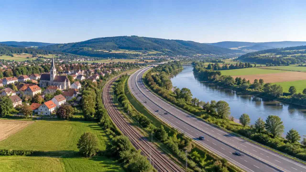
1 See the scale gap before the map
1.1 What does a national plan actually decide?
National plans set priorities, targets and spatial direction: where growth should concentrate, which corridors carry infrastructure, how much land stays protected. They rarely fix a boundary at parcel level, because the instruments that do that live in regional and local plans. Reading the national document for a parcel answer usually produces frustration. The document tells a team what the government wants to see happen in a region, and it leaves the how to lower tiers.
1.2 Where does the mismatch show up in practice?
A plan may describe a growth corridor as a band several kilometers wide. A site team then needs to know whether a specific field sits inside that band, and the published map may not resolve the edge at that scale. Add the difference between a diagram in a policy document and a cadastral boundary, and the gap becomes visible. Naming the gap early in the process is better than discovering it in a review comment.
The UN-Habitat work on national urban policy collects examples from many countries, and the range is instructive. Some documents run to hundreds of pages of spatial direction, while others state principles and leave the map to regional agencies.
2 Turn plan language into site questions
2.1 Which sentences create a parcel-level question?
Look for verbs that imply a location: direct growth to, protect, consolidate, connect, phase. A sentence about directing new employment land toward existing service centers becomes a question about distance to services, road access and available infrastructure. A sentence about protecting agricultural land becomes a question about soil classification and current use. Translate each verb into a check the site team can run, then attach the source paragraph so the link stays traceable.
2.2 Which statements cannot be tested at site scale?
Targets, housing numbers, modal share and emission goals belong to a region or a country. A parcel study cannot test them, and pretending otherwise produces a confident answer with no basis. Keep those statements in a separate column of the working file and note which authority is responsible for them. The site review should say what it does not cover, in plain language, before anyone asks.
The separation also helps the report. Sections that describe what the plan says read cleanly when they are not mixed with conclusions the team cannot support, and a reviewer can follow the logic from document to site without stopping to check who decided what.
3 Carry evidence a local reviewer can use
3.1 What evidence survives a planning meeting?
Official maps, adopted local plans, infrastructure records and site photographs. A national plan diagram helps explain intent, and it rarely survives as evidence on its own. When a team presents a site, the reviewer wants to see the site boundary, the applicable local designation, the access and the constraints. Pair each national policy reference with the local instrument that implements it, and the argument holds together.
3.2 How do you show a site inside a corridor or growth area?
Show the corridor edge at the scale it was published, then zoom to the parcel and mark the uncertainty. A map that jumps from a national diagram to a parcel outline hides the step where the boundary was interpreted. Keep both views in the same exhibit with the source and date on each. Where the edge is ambiguous, say so and name the authority that can resolve it.
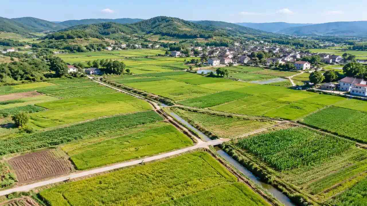
4 Compare sites without drawing conclusions
4.1 How do two sites get compared under the same plan?
Use the same checklist for both, drawn from the same plan paragraphs. Compare access, infrastructure proximity, land designation, terrain and the effort needed to resolve the plan question at each location. Keep the scoring visible so a reader can see why one site looks simpler. A comparison that ends with a recommendation has moved into policy advice, and that belongs to the authority, not the site team.
Keep the comparison in a working file and a written summary in the report. The published exhibit needs a map, a source line and a sentence that tells the reader what they are looking at, since a page of scores without context invites the wrong question.
4.2 How is uncertainty presented without hedging everything?
Name the specific uncertainty and its source: a boundary drawn at regional scale, a dataset that has not been updated, a plan under review. Then state what the team did about it. General caveats at the end of a report get ignored, while a short list attached to the relevant exhibit gets read. The goal is a reader who knows which conclusions are firm and which are waiting on an official answer.
5 Show scale in a generated scene
A generated scene helps a team see a site in its wider setting while the official maps are being collected. GenAnywhere lets you select an area on a map and build an editable model from satellite and map data, with building footprints, estimated heights, inferred types and surrounding vegetation, plus terrain fitted to the ground. At a wider selection, the scene shows how a parcel relates to the built-up edge, the transport lines and the open land around it. This is AI 3D generation working at the level of urban context, and the plan text and the official maps remain the reference.
5.1 Can a generated scene show a site inside a plan corridor?
A single view can hold a settlement edge, a road corridor and the parcel, which is the relationship most plan questions turn on. Preview the building, terrain and vegetation layers separately to see what the settlement edge consists of, then move, replace or resize individual buildings to test how a site might develop. The platform does not draw plan boundaries or interpret policy, so the corridor line comes from the official map and is added by the team.
Export the result as a general GLB file for 3D, BIM, GIS and game engine workflows, and the local GIS team can place the official layers alongside it. The workflow tutorials describe where that file goes next. Keep the generated geometry in its own group so a reader can tell which lines came from the platform and which came from the authority.
5.2 What does the scene leave to official data?
Administrative boundaries, land use designations, protected areas and cadastral lines come from official sources, and a map-derived scene does not carry them. Add those layers from the authority's own data and keep them in a separate group so the two sources stay distinct. The honest version of a plan exhibit shows both, with dates, and lets the reader see where the parcel sits against a boundary that someone else drew.
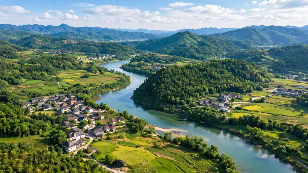
6 Send the question to the right reviewer
6.1 Which questions stay at national level?
Targets, corridor definitions, protected area policy and the direction of growth. Those belong to the ministry or agency that wrote the plan, and a site team can quote them without answering them. When a question cannot be resolved below that level, say so in the report and name the document that would settle it.
6.2 Which questions belong to the local authority?
Land use designation, permitted uses, density, access approval, drainage and building standards. These are decided through local instruments, and they are the questions a site review can actually prepare for. Map each national reference to the local instrument before the meeting, and the conversation stays on ground the authority controls.
6.3 What should the site team keep on file?
The plan extract with page and paragraph references, the official maps used, the date each was retrieved, and a note on how boundaries were interpreted. Keep the generated scene alongside them with its own source note. Five years from now, a reader should be able to reconstruct which evidence supported which statement without guessing.
Store the extract as a file rather than a link. Government portals reorganize their pages, and a dead link erases the reference that the whole argument rests on.
Generate a context scene for a site you are comparing before you write the plan summary.
See how exported scenes combine with GIS and design workflows.
7 Plan-to-parcel questions teams ask
FAQ-1 Does a site inside a growth area have development rights?
A growth area designation in a national plan does not by itself grant development rights. Those come from local land use rules, zoning and the consent process, and the national document usually sets direction rather than permission. A site inside a designated corridor may still face local constraints on access, drainage or density. Treat the designation as a signal about intent and check the local instruments before any assumption about what can be built.
FAQ-2 Which official datasets should accompany a site review?
The plan document itself with a stable reference, the current local plan and zoning map, administrative boundaries, protected area layers and the transport network. Record the source and retrieval date for each, because these datasets change and an undated map is hard to defend. Where a national geoportal publishes the corridor layer, use it alongside the plan text. The two do not always agree, and the difference is worth noting.
FAQ-3 How much area can a generated scene cover?
The practical limit depends on the area you select and the detail you need, so test a few sizes before committing to a working scale. A scene that covers a settlement edge and a corridor reads differently from one built for a single block. Keep the purpose in view: the wider view explains relationships, and the closer view supports a discussion about one site.
FAQ-4 Can a 3D scene demonstrate compliance with a plan?
No. Compliance is decided by the responsible authority against adopted instruments, and a 3D scene illustrates relationships rather than determining them. Use the scene to show how a site sits against a corridor, a settlement edge or a transport line, and keep the legal argument in the documents the authority recognizes. Where a plan requires a specific study or assessment, that work sits outside what a context model can provide.
Content and technical notes
This article was prepared by the GenAnywhere team with AI-assisted drafting and human review.
Product features, formats, and availability change as the platform evolves; refer to the official GenAnywhere website for current details.
For technical questions or corrections, contact support@genanywhere.com.
Last reviewed: 2026-11-06.