
Port scenes: how GenAnywhere starts from a map
Pick the map extent, generate the ground and water edge, then argue about the terminal in a scene you can edit.
A port scene in GenAnywhere begins on the map. You frame the area you care about, and the platform generates the site inside that frame: terrain, the water edge, buildings and vegetation. No drone flight is needed to establish that context, though the result is a working setting rather than a survey record. Everything after the initial generation is a series of choices about extent and correction.
1 Starting on the map
1.1 Choosing the extent
The map selection decides the scene before anything else happens. A frame around one terminal gives a detailed quay and yard; a frame around the whole port shows the channel, the basins and the road connections. Both are legitimate starts, and they lead to different conversations. Pick the extent from the decision rather than from habit, then note it, because a port review that changes scale halfway tends to lose the thread of its own argument. A frame that includes the channel and the approach roads costs little and answers the question of where the port sits in the region.
1.2 What the map supplies
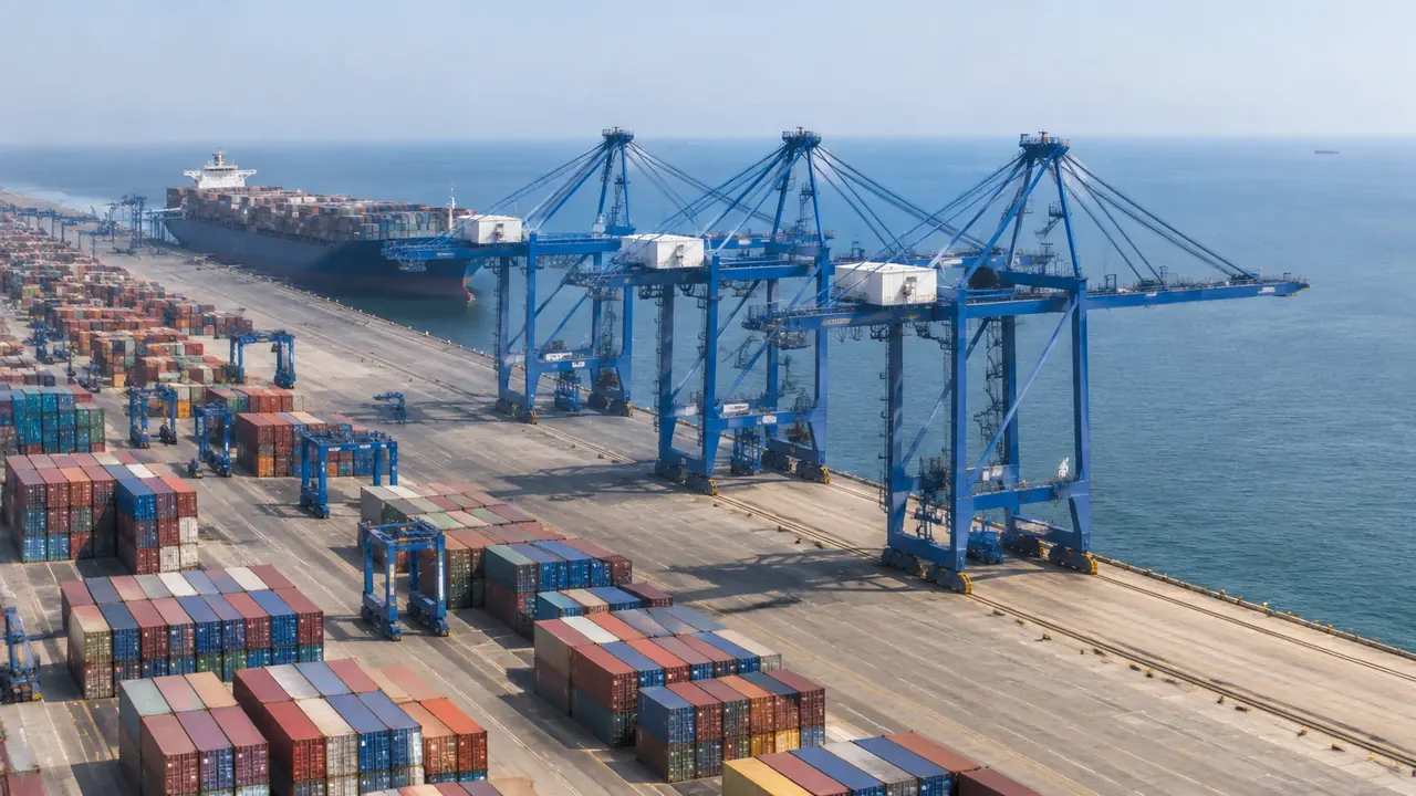
The map supplies the shoreline, the building footprints, the road pattern and the elevation data. Those inputs are what the generator works from, and their quality sets the quality of the scene. A recently mapped terminal produces a recognisable quay; an area mapped a decade ago will be recognisable as a shape rather than as a place. Check the imagery date for the specific terminal before the review, not for the region as a whole. If the date is unclear, find a landmark you know, such as a recently built shed, and work back from when it appeared.
2 The scene after generation
2.1 Water, quay and land
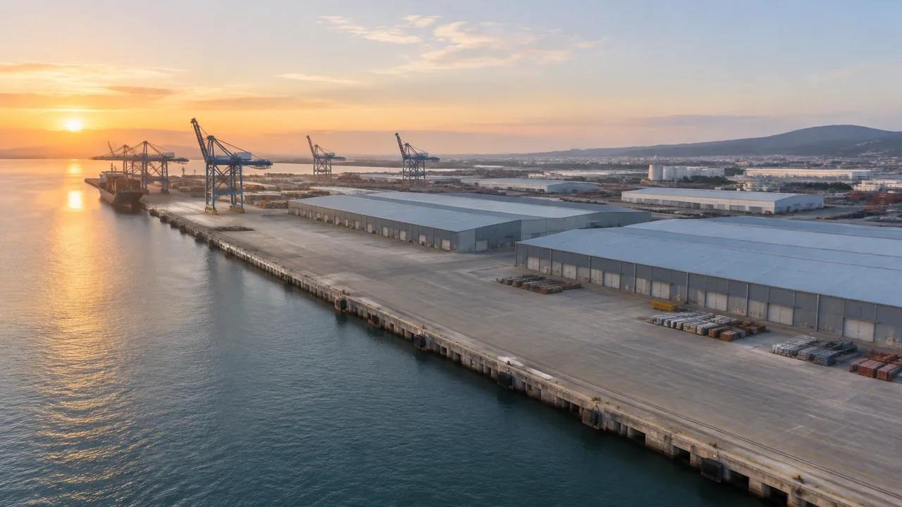
Water is generated where the mapped shoreline meets the terrain, so the basin and the quay line appear as a continuous edge between land and water. The edge is a clean vertical face, without fenders, ladders, bollards or cope detail. That is enough to judge where the berth sits and how the yard relates to it. It is not enough to judge mooring arrangements, and nobody should read a berth from a surface that has no depth. Treat the edge as a boundary to be read rather than a structure to be measured, and the scene will serve for longer.
2.2 Buildings and vegetation
Warehouses, sheds, offices and gatehouses appear because they have footprints in the map data, with heights estimated and types inferred. Vegetation is inferred from the imagery, so a belt of trees behind the fence reads as vegetation rather than as a planting plan. Both can be corrected or hidden. At a port the corrections matter most around the gate and the shed frontage, because those are the parts a reviewer looks at while forming an opinion. The gatehouse is often the building worth fixing before an operations review, since it anchors the arrival sequence in the picture.
3 From scene to port discussion
3.1 Reading the water edge
Much of a port argument is about the edge: how long the berth is, where the basin turns, how much land sits between the quay and the nearest shed. The generated edge answers those questions at a glance. It also exposes the awkward cases, such as a berth that runs behind a shed or a basin that narrows where nobody expected. Note what the scene shows and check the berth length in a drawing, since the two can disagree by a season of construction work. A berth that reads short in the scene may be longer in the drawing, and the drawing is the document that wins that argument.
3.2 Where the yard argument goes
The yard is where the scene holds up well, because a yard is mostly ground and buildings. Stack zones, haul routes, gate lanes and shed aprons can all be discussed against a generated surface that reflects the actual shape of the site. Cranes, straddle carriers and containers are not in the scene, and a plan or a block diagram fills that gap. Showing the generated ground and the operational plan side by side is a practical way to run the discussion. A stack zone drawn as a coloured block on a plan can be laid over the scene in a presentation tool, which is often enough for the decision.
4 What a map cannot tell you
4.1 Imagery date and recent works
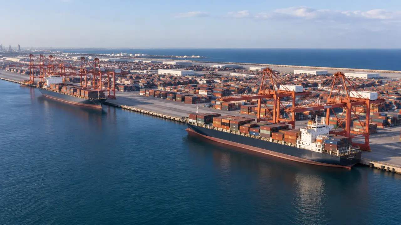
Ports change constantly: a berth is lengthened, a shed is replaced, a yard is repaved. The imagery behind the scene carries a date, and anything built after it will be missing. Ask the terminal which works are recent, because the site team usually knows without checking. Ask which sheds are scheduled for demolition as well, since a scene that shows them invites a question about a building that is on its way out. State the date in the opening slide. A dated scene presented as current is the kind of small error that quietly undermines a sound argument later in the meeting.
4.2 Operational data
The scene holds no throughput figures, no dwell times, no crane productivity and no berth occupancy. Those come from terminal operating systems and from specialist models. A generated port is a setting for a conversation about layout and relationship, not a source of performance numbers. Teams that keep the numbers in a spreadsheet and the scene on the screen tend to have shorter meetings than teams that try to make one artefact do both jobs. If someone asks for throughput, say where the figure lives rather than estimating one from the picture.
5 Review and handoff
5.1 A sequence for a port session
Open with the port in its water setting, then the terminal, then the specific area under discussion. Three frames are usually enough. Each frame should answer one question and hand over to the next, so the audience is never asked to hold two scales at once. If the conversation moves to a gate or a rail connection, take a new frame rather than zooming the old one, because a saved frame is easier to revisit. Number the frames before the session starts, so a question can be tied to a view by number instead of by description.
5.2 Exporting the scene
Preview the scene and export a GLB when the discussion moves to another team. The file carries the quay, ground, buildings and vegetation into 3D, BIM, GIS and game engine workflows, where equipment assets and design geometry can be placed beside it. Khronos glTF documents the format family the export belongs to, which helps when the receiving team asks what it is opening. Test the file in that team's application before a meeting depends on it. Keep the export name consistent with the frame names, and the receiver can match the file to the slide deck in seconds.
Open the GenAnywhere app and frame a port scene
6 Before you export
6.1 Scope
Decide how much of the port the file covers. One terminal is a coherent unit; a whole port estate is a different product with different uses. If the review touches both, make two files and name them by terminal. A file named after the berth it contains saves a question later. Scope also affects how the export behaves in the receiving tool, since a large estate takes longer to open and to navigate. Two terminals in one file is usually a mistake, and two files with clear names is usually the fix.
6.2 Missing assets
Cranes, containers, straddle carriers, trucks, fenders and mooring equipment are all outside the generated set. List them with an owner before the file leaves. The list tells the receiver which parts of the picture are context and which will arrive later, and it prevents the question about why a container terminal has no containers. A named owner turns that list into a plan.
6.3 Purpose
Say what the exported scene is for: a layout discussion, a visual check, a planning submission exhibit, a game engine environment. Purpose decides the extent, the corrections worth making and the assets the receiver prepares. An export without a purpose is usually opened once and forgotten. One sentence in the covering note is enough, and the platform overview describes what the file will and will not contain. Papers filed under a vague purpose are the ones nobody opens twice.
7 FAQ
FAQ-1 How do I start a port scene?
Frame the terminal or the port estate on the map and generate the site. The platform builds terrain, the water edge, buildings and vegetation inside that frame. Nothing else is required to begin, and no drone flight is needed for that initial context. If the review needs survey information or current construction records, those come from elsewhere and should be cited alongside the scene.
FAQ-2 Does the scene include the water?
Yes, as a surface generated where the mapped shoreline meets the terrain. It has no depth, no tide state and no current. That is enough for layout discussions about basins, berths and channels. Navigation questions need hydrographic survey and a different kind of study, and the scene should not be presented as evidence for either. A short note in the caption prevents that misreading, and it takes less time than explaining it later in the meeting.
FAQ-3 Are cranes and containers included?
No. Quay cranes, yard gantries, straddle carriers and containers are equipment and cargo, not generated site content. Teams show them with their own assets or with simplified blocks in a diagram beside the scene. Say which elements came from outside the platform when the picture is presented. That sentence prevents most of the misunderstandings that a realistic image can create.
FAQ-4 Can I change the water level?
No. The water is a fixed surface in the generated scene, not a tidal model. If a review depends on a particular water level, state the assumption in the caption and keep the tidal information in the document that holds it. The scene is there to show the relationship between land and water, and it does that at any stated level without simulating one.
See how a generated port moves into a GLB workflow
Content and technical notes
This article was prepared by the GenAnywhere team with AI-assisted drafting and human review.
Product features, formats, and availability change as the platform evolves; refer to the official GenAnywhere website for current details.
For technical questions or corrections, contact support@genanywhere.com.
Last reviewed: 2026-11-13.