
Wind farm layout review: what counties should compare, GenAnywhere
What local reviewers can learn from a shared site model before a layout is fixed
County staff rarely get to choose a wind farm layout, but they are often asked to react to one. A site model helps the review move from a stack of drawings to a shared picture of ridges, roads, fields, and homes. It does not answer every question, and it should not be presented as if it does.
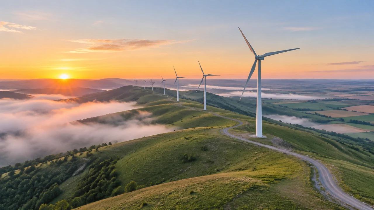
1 County review before a layout is fixed
A wind project arrives at the county in pieces: a site plan, a road plan, a list of parcels, and a set of viewshed images. Each document uses its own scale and its own assumptions. Reviewers spend the meeting translating between them instead of discussing the project.
1.1 What a county can see from a map
A map view can show where turbines sit relative to homes, creeks, county roads, and parcel lines. It can show how access roads would cross fields and where a new crane pad would disturb ground. These are the questions residents raise at open houses, and they are easier to answer when everyone looks at the same base.
Scale is the other advantage. A county map that covers twenty square miles can make a turbine cluster look compact, while a neighborhood view tells a different story. Moving between scales during a meeting keeps both pictures in play.
1.2 What the layout cannot settle
A site model cannot confirm wind resource, energy production, turbine foundation design, or the terms of a lease. Those depend on studies and contracts that sit outside the county's review. A model also cannot decide whether a view is acceptable, which is a judgment for the community and its elected officials.
2 Comparing land use and access
Most of the county's leverage sits in land use and access, not in turbine hardware. The layout determines which fields are crossed, which tree lines come down, and how many farm gates a service crew will open each week.
2.1 Farmland, habitat, and parcel edges
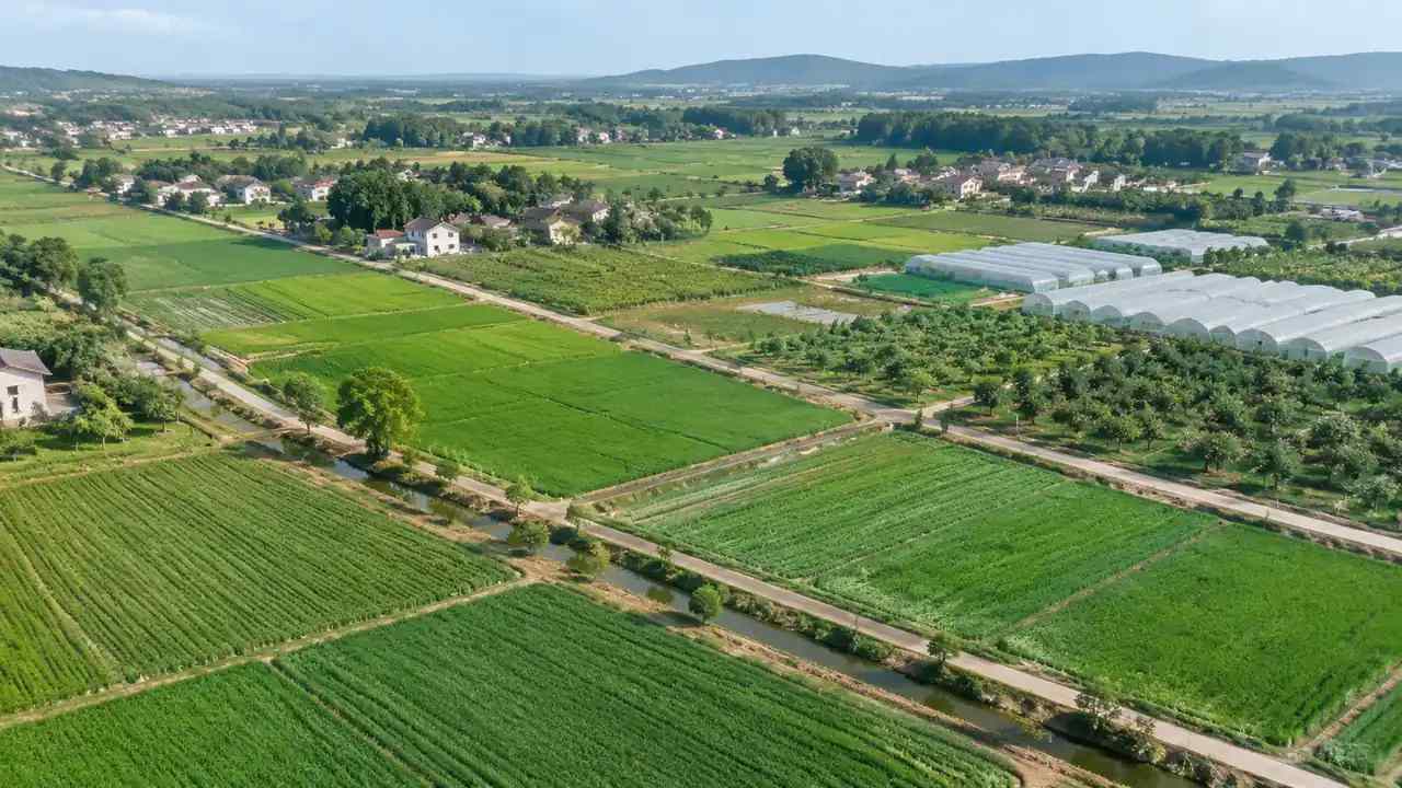
A layout that follows field boundaries disturbs less ground than one that cuts across them. Reviewers can see that difference on a model, especially when the model shows vegetation and water as separate layers. Field edges, drainage ways, and small woodlots are the features that tend to matter to neighbors.
The comparison is rarely clean. One layout may spare a woodlot but require a longer road, while another shortens the road and splits a working field. A model lets the county put those costs side by side instead of debating them in the abstract.
2.2 Roads, gates, and turbine pads
Access is where a project meets the county's own assets. A model can show whether a proposed route uses a paved road, a gravel road, or a farm track, and where a new intersection would land. It can also show how close a pad sits to a creek or a property line, which helps frame drainage and maintenance questions.
3 Building a shared base model
A county does not need a full engineering model to have a useful conversation. It needs a base that is consistent, easy to open, and clear about what it leaves out.
3.1 How GenAnywhere represents a wind site
GenAnywhere builds an editable 3D site model from an area selected on a map, using satellite and map data. It identifies building footprints, estimates heights, infers types, and reads surrounding vegetation. Terrain, water, vegetation, and buildings come in as separate layers, so a reviewer can turn layers on and off and see what each one contributes.
The model can be previewed in the browser and exported as GLB for work in 3D, BIM, GIS, or game engine tools. A county can use that file to prepare a simple fly-through or a set of still views. The model is a planning aid, not a survey product, and it does not carry survey coordinates.
3.2 Testing two layout patterns
Try a ridge-following layout and a dispersed layout in the same model. Place simple turbine markers, adjust the access road, and compare how each option sits against fields, homes, and streams. The exercise will not pick a winner, but it will show which option creates the harder conversation.
County staff can also test a shorter access route against a longer one that avoids a sensitive edge. Seeing both in the same view makes the trade-off concrete. It also gives the applicant a clearer sense of what the county will ask about.
4 Working with landowners and the public
A wind farm touches more parcels than a typical subdivision, and the public meeting is where those overlaps become visible. A clear base model lowers the temperature of that meeting, though it cannot remove disagreement.
4.1 Questions to answer before an open house
Residents want to know which road the trucks will use, how close a turbine will be to a house, and whether a field will be taken out of production. A model can answer the geometric parts of those questions. It can also show where the answer is still unknown, which is more honest than a polished image that implies certainty.
Prepare a few fixed viewpoints ahead of time. A view from the main county road, a view from a nearby farmhouse, and an overhead view cover most of what people ask about. Staff can move between them without hunting for the right angle while a room waits.
4.2 How to keep the comparison fair
Use the same model, the same camera positions, and the same level of detail for every option. If one layout gets a rendered view and another gets a line drawing, the discussion will follow the rendering. Consistency matters more than polish.
It also helps to label estimated heights and to explain that vegetation is inferred from imagery. Reviewers should know which parts of the picture are measured and which are modeled. That distinction protects the county from claims that it presented a planning image as a record.
5 Records and next steps
5.1 A short review packet
A county packet might include a site overview, two layout options, a road comparison, and a one-page note on assumptions. Keep it short enough that a board member can read it before the meeting. The model file can be shared separately for staff who want to explore.
Keep the packet dated and versioned. Wind layouts change often, and a board member who brings an old printout to a new meeting can derail a useful discussion. A simple date on every page prevents that confusion.
5.2 What to hand to consultants
Send the model, the assumption note, and a list of open questions to the county's engineering and planning consultants. Ask them to identify where the model is too coarse for their work. That feedback turns a screening tool into a better briefing document for the next round.
For wind siting background, the National Renewable Energy Laboratory publishes wind resource and siting material that helps reviewers understand the vocabulary. It will not tell a county how to vote, but it makes the technical claims easier to follow.
6 Making the county conversation useful
6.1 When a map model helps
A map model helps when the question is about location: which field, which road, which neighbors, and which waterway. It is also useful for showing change over a large area, where a plan sheet becomes hard to read. Counties with limited GIS staff can use it to prepare a briefing without a long procurement.
6.2 When it does not
It does not help when the question is about sound, shadow flicker, avian risk, or grid capacity. Those require specialist studies and, in some cases, a different kind of data. A model that pretends to answer them will damage trust in the review.
It is better to say plainly which questions sit outside the model. That honesty also helps the applicant, who would rather hear a clear gap than a vague objection. The county can then point to the studies that will address the gap.
6.3 A next step
Take one proposed layout and build a model of the surrounding area before the next meeting. Start in GenAnywhere, select the site, and review the workflow for exporting a file the county can share.
7 FAQ
FAQ-1 Can GenAnywhere model turbine spacing or setbacks?
No. The platform builds terrain, buildings, water, and vegetation from map and satellite data; it does not enforce turbine spacing or local setback rules. Reviewers can place simple markers to compare options, but the distances that matter for a permit should be measured from survey and checked against the adopted ordinance.
FAQ-2 Does the platform show property lines?
No. Parcel boundaries come from the county's records and should be overlaid in a GIS tool. GenAnywhere is useful for the physical scene around a site, including buildings and vegetation. A county that needs ownership or easement information should use its own records alongside the model, and should not infer ownership from how a field looks on an aerial image.
FAQ-3 What can a county share publicly?
A county can share the model views, the assumption note, and the questions it still needs answered. It should avoid publishing files that contain unverified ownership or utility information. Check the platform's current terms before posting an export on a public site, and keep the source imagery date with any file you publish.
FAQ-4 Can the model be used for permitting?
No. It is a planning aid for comparison and briefing, not a permit drawing or a technical study. A permit application needs survey data, engineering design, and the studies required by local rules. Use the model to organize the conversation, then rely on the formal record and the applicant's sealed documents for the decision.
Content and technical notes
This article was prepared by the GenAnywhere team with AI-assisted drafting and human review.
Product features, formats, and availability change as the platform evolves; refer to the official GenAnywhere website for current details.
For technical questions or corrections, contact support@genanywhere.com.
Last reviewed: 2026-11-07.