
Maya site rebuild: how GIS teams scope terrain in GenAnywhere
A context model for a newly reported site, built to ask better questions rather than to settle them.
When a newly reported Maya complex appears in the news, interest runs ahead of field documentation. GIS teams are often asked to place the site in its landscape and show what the reported features might mean at ground level. A Maya site rebuild, handled as a context model, can support that work if everyone is clear about what the scene represents and what it does not.
1 What a newly reported site needs to establish
1.1 Separate visibility from interpretation
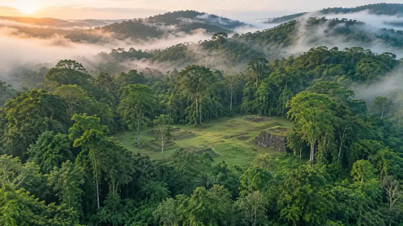
A lidar survey can reveal platforms, terraces, and causeways under forest canopy long before anyone walks the ground. The visibility is exciting, and it is easy to slide from there into a story about what the place was. A model can help hold those two things apart by showing the landscape and the reported forms without dressing them as a finished reconstruction.
That separation protects the team. If the scene is presented as an interpretation, every change in the evidence requires a new version. If it is presented as a context model with stated assumptions, the same scene can support several interpretations.
1.2 The role of a terrain context model
A terrain context model answers questions about position and relationship. How does the site sit relative to ridges, water, and travel routes. How large are the reported platforms compared with the surrounding settlement. What would a visitor see from the main plaza toward the horizon.
None of those questions require a claim about function or date. They require geometry, a viewpoint, and a clear statement of what was modeled. That is a modest goal, and it is often the most useful thing a GIS team can produce in the weeks after a discovery is reported.
2 Set the site in its landscape
2.1 Trace the site from available map data
GenAnywhere generates an editable site model from an area selected on the map, using satellite and map data. For a forested region, the terrain layer and the vegetation layer give an early sense of slope and cover. The site boundary can be drawn from published survey figures or from coordinates supplied by the research team.
Getting the boundary right is a matter for the archaeologists. The model should carry the boundary they provide, with a note about its source. If the location is sensitive, keep the scene private and avoid publishing coordinates.
2.2 Add terrain, vegetation, and water context
Terrain does most of the explanatory work at a Maya site. Ridges, bajos, and seasonal water shape how settlements connect, and a flat map hides those relationships. The generated terrain gives a usable starting surface, and the vegetation layer indicates where the canopy would obscure the ground.
Water is treated as context, not as a hydrological claim. A river or a seasonal wetland can be represented as a surface or a line based on available data. The model does not predict flooding or water availability in the past.
3 Rebuild the setting, not the claim
3.1 Model platforms and mounds as volumes
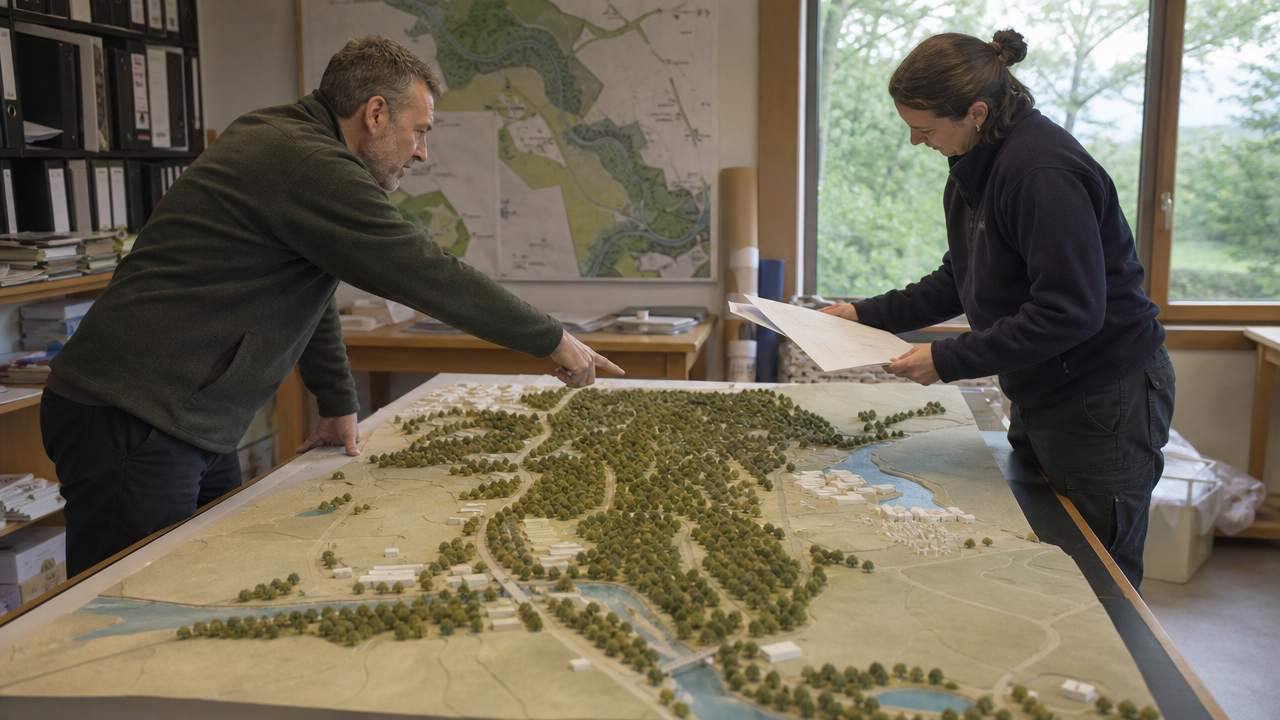
Reported structures can be represented as simple volumes: platforms, mounds, terraces, and causeways sized from published figures. The result looks like a blockout, and that is appropriate. A blockout communicates scale and arrangement without implying that the team knows what the buildings looked like.
Where the evidence is uncertain, use a range or a generic form. A mound shown as a low mass is more honest than a reconstructed temple with a roof comb that no one has documented. The scene should invite a question, not close one.
3.2 Keep reconstruction levels visible
If the team wants to show a more developed interpretation, keep it as a separate version. Label it clearly and keep the blockout available for comparison. Reviewers can then see which parts come from the survey and which parts are interpretive additions.
This layering is useful in publication as well. A figure caption can state that the image shows a context model with interpretive masses, and readers can judge the claim accordingly.
4 Work with archaeologists and GIS staff
4.1 Agree on what the model represents
Before building, write a short statement of purpose with the research team. Is the scene for internal discussion, for a funding briefing, for a museum display, or for a public article. Each purpose implies a different level of detail and a different publication rule.
The statement should also name what the model will not do. It will not replace survey data, it will not establish chronology, and it will not serve as a site plan for fieldwork. Those limits are easier to hold when they are written down at the start.
4.2 Share views without specialist software
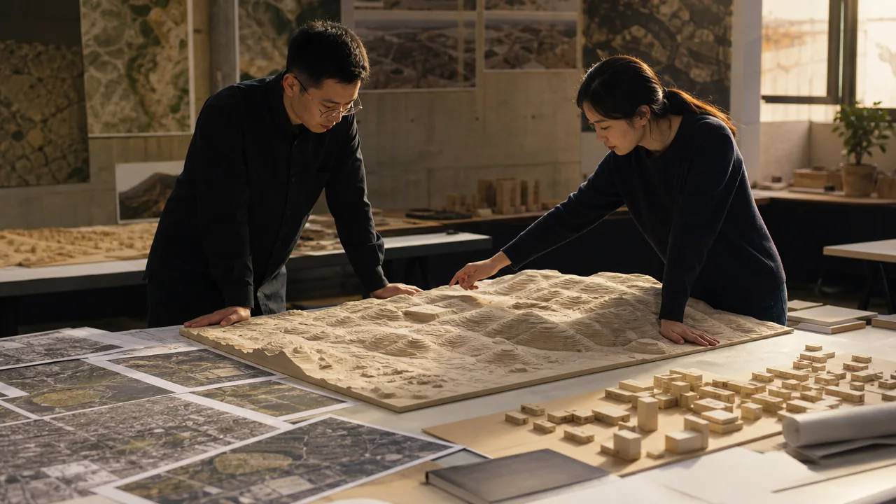
A browser-based scene lets a project director, a funder, or a community representative look at the site without installing GIS software. They can rotate the view, compare the blockout with the terrain, and ask about specific features. That access broadens the conversation without giving everyone edit rights.
For a sensitive site, control who can open the scene. Share specific views rather than the full model when the location should not circulate.
5 Boundaries and ethics
5.1 No substitute for field documentation
A model built from published figures and map data is not field documentation. It does not record condition, stratigraphy, or context, and it cannot support a claim about construction sequence. Those records come from survey, excavation, and the careful work of the research team.
The model is a communication layer that sits on top of that work. It should always point back to the source, and it should never be presented as if it were the primary record.
5.2 Publication and community review
Sites in forested regions are vulnerable to looting, and precise locations can circulate quickly once a scene is published. Discuss publication with the research team and with the relevant heritage authority. In some cases, a generalized location and a coarse terrain model are appropriate. In others, the scene stays internal.
Community review matters as well. Descendant communities may have their own relationship to the landscape and their own view on how it should be represented. A model that ignores that context can do damage even when the geometry is right.
6 Hand the scene to the wider team
6.1 Export for GIS and game engines
When the scene is ready, export it as GLB and bring it into the tools the team uses. A GIS analyst may want the terrain and the site boundary in a desktop environment, while a visualization team may continue in a game engine. The export keeps the geometry and the layer structure, and the receiving team decides what to add.
The Khronos Group maintains the glTF specification behind GLB, which is useful background if the team needs to explain the format to a partner. The International Council on Monuments and Sites publishes material on heritage documentation and conservation that can help frame the ethical questions around a reconstruction.
6.2 Keep a record of assumptions
Write down the data sources, the date of the imagery, the published figures used for each volume, and the interpretive choices. Store the note with the scene and with any exported file. Six months later, that note is what allows someone else to understand why a mound has a particular height or why a causeway follows one line rather than another.
6.3 Plan the next field question
A context model often reveals what the team does not know. A gap between two platforms, a route that seems to avoid a ridge, or a terrace that faces an unexpected direction can become a question for the next field season. Record those observations as the model develops.
That is the practical value of the exercise. The scene does not answer the archaeological question. It helps the team ask a sharper one, and it gives the field crew a shared picture before they arrive.
To test the approach on a landscape you are studying, open the GenAnywhere app, draw the area, and build the terrain before adding any interpretive volumes. The platform workflow overview explains how a scene moves from map selection to export.
7 FAQ
FAQ-1 Can the model show a site that has not been excavated?
Yes, as a context model based on published figures and map data. Reported platforms and mounds can be shown as simple volumes, with the terrain and vegetation around them. The scene does not imply that those forms have been confirmed on the ground. Treat it as a way to discuss scale and setting, and keep the survey data and the field records separate.
FAQ-2 How detailed is the terrain in a forested area?
The terrain comes from available elevation data, which is general rather than site specific. In dense forest, the surface may smooth over small features, and the vegetation layer indicates canopy rather than individual trees. For a landscape scale question, that level is often enough. For anything that depends on a local slope or a small terrace, use the survey data from the research team.
FAQ-3 Can researchers annotate the scene without altering it?
They can add notes and markers in a separate layer or in a companion document. Keeping annotations apart from the base geometry means the scene remains a stable reference while interpretations change. Agree on a convention before the team starts, such as one color for survey based features and another for interpretive additions. That convention makes the model easier to read later.
FAQ-4 Does a reconstructed model count as archaeological documentation?
No. Documentation refers to the records created through survey, excavation, and analysis, with their own standards and archiving. A model built from published material is a communication and planning tool. It can support a publication or a museum display, but it does not replace the primary record, and it should always cite the sources behind its geometry.
Content and technical notes
This article was prepared by the GenAnywhere team with AI-assisted drafting and human review.
Product features, formats, and availability change as the platform evolves; refer to the official GenAnywhere website for current details.
For technical questions or corrections, contact support@genanywhere.com.
Last reviewed: 2026-11-12.