
Bethlehem data center: a site review checklist for GenAnywhere
A practical way to test land, access, and massing before the server hall design starts
A Bethlehem data center search usually begins with power and fiber, and those are the right questions. Land, access, and the way a large flat building sits in its surroundings decide just as much. This checklist keeps the site review concrete and gives the design team a shared picture to argue with.
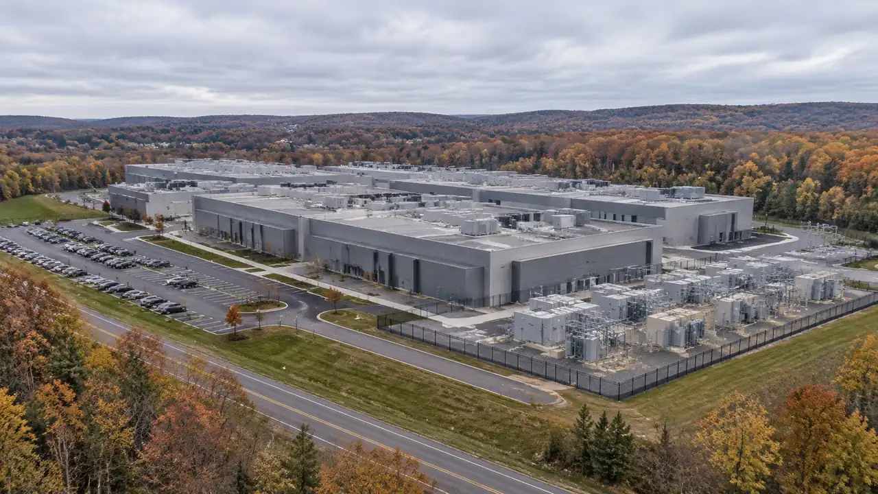
1 Start with the site, not the server hall
1.1 What a data center asks of the land
A data center needs a large, level footprint, room for equipment yards, and two practical ways in and out. It also needs space between the building and its neighbors, because the mechanical plant runs around the clock. Those requirements are simple to list and harder to satisfy on a parcel with slopes, wetlands, or a single access road. Test the land against them before the cooling concept.
A useful exercise is to sketch the worst plausible building on the parcel before the program is fixed. If that shape fits, the site can probably hold a serious study. If it does not, no amount of design cleverness will rescue the land.
1.2 Find constraints early
Slope, floodplain, and utility corridors tend to appear in the initial review. So do small things that grow later, such as a narrow bridge on the access route or a school across the road. The Bethlehem area has a mix of former industrial land and newer commercial parks, and each brings a different set of questions. Early mapping of those conditions saves a second site search.
Bring a local map to the walk. County GIS layers for flood, wetlands, and soils are free in most places and take an hour to read. They are not a substitute for a study, but they tell you which study to order.
2 A review checklist for the parcel
2.1 Check power, fiber, water, and road access
Confirm who owns the nearest transmission and distribution infrastructure, and ask the utility what capacity studies it requires. Check fiber routes rather than assuming a nearby line is available. Water matters for cooling and fire protection, and wastewater matters for discharge. Road access should include construction traffic, not just staff cars.
Each item belongs on one page with a named owner. Write the utility answers in a dated note, because capacity information expires. A verbal answer from a provider is a start, not a record. Ask for the name of the person who gave it.
2.2 Read neighbors, noise, and visual bulk
A data center is quiet inside and noisy at the fence line, where fans and generators run. Visit the nearest homes and businesses at different times of day and listen. Look at the building from the road, from upper windows, and from public open space. A long blank wall can be screened, but the screen needs land.
Check whether the parcel has room for it. Screening is often the cheapest fix for visual bulk, but it takes years to grow. Plan for the mature height, not the nursery height. A fence helps at eye level and does little for a roof.
3 Seeing massing before the design is fixed
3.1 What GenAnywhere can model from the map
GenAnywhere generates an editable 3D site model from satellite and map data for a selected area. It reads building footprints, estimates height, infers building type, and maps surrounding vegetation. Terrain, buildings, water, and planting arrive as separate layers, and a user can replace a building, adjust its height or type, and preview the result before exporting GLB. For a data center review, that means the proposed hall can be placed beside the existing buildings and read against the road, the tree line, and the neighboring roofs.
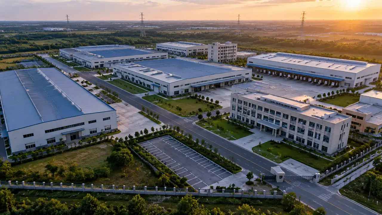
3.2 What the model cannot answer
The scene does not size a utility service, calculate cooling loads, or confirm that a fiber route exists. It does not replace a geotechnical report or a traffic study. Those questions need specialists and current data from the providers. The model helps a team see whether a layout is worth studying further, and it keeps the visual conversation honest about what is still unknown. Write the limits next to the model file so nobody has to remember them.
4 Comparing Bethlehem against alternatives
4.1 Use the same criteria and view
Use the same checklist for every parcel, and use the same scene settings when showing them. A site that looks open because the model is sparse has not earned an advantage. Keep the camera positions fixed and label each view with the date and source. The comparison should make the differences in land, access, and surroundings easier to see, not easier to spin. If the sites fall under different jurisdictions, align the checklist to the stricter one so process does not distort the result.
4.2 Recording tradeoffs
Write down what each site gains and gives up. One parcel may have a shorter fiber path and a longer construction route. Another may offer room for expansion but sit closer to housing. Record the tradeoff in plain language and note who owns the next check.
A decision log is more useful than a scorecard when the criteria are still moving. Revisit it when a utility answer changes, and mark what the change affects. A tradeoff that looked settled can reopen in a week.
5 Working with the city and the utilities
5.1 Questions for the planning office
Ask about zoning, setbacks, height limits, and any overlay district that applies. Ask how the city treats mechanical equipment and screening. Confirm the review path and the expected sequence of submissions. Bring a site plan and a massing view so the conversation can focus on the parcel instead of the process.
Early contact usually shortens the later review. Ask for a pre-application meeting if the city offers one. It is usually the quickest way to learn which questions matter locally.
5.2 Questions for utility and fiber providers
Ask each provider to confirm the nearest available infrastructure and the process for a capacity request. Ask about lead times for service and about any easements the project would need. Keep the answers in writing and dated. Utility information ages quickly, and a decision made on an old answer can cost months.
Keep provider contacts in one place and record the date of each call. When a lead time moves, the project can see which assumption moved with it. The US Environmental Protection Agency energy resources offer useful background on data center energy use while the site questions are worked through.
6 When the site review should pause the project
6.1 Watch for conditions that change the case
A site review should pause when the access route cannot handle construction traffic, when the floodplain removes the equipment yard, or when the utility confirms that service cannot arrive on the needed schedule. Those are business issues as much as technical ones. Naming them early gives the project a chance to change sites instead of changing the schedule later. A pause is not a cancelation. It is a written list of what must change before the next spend, and who will confirm the change.
6.2 Bring the right package to the next review
Bring the checklist, the scene file, the utility correspondence, and a short list of open items. Include the date of each source and the name of the person who confirmed it. A compact package lets a new reviewer catch up without repeating the whole search. It also makes the eventual go or no-go decision easier to defend. A two-page brief is usually enough, because the scene file carries the detail.
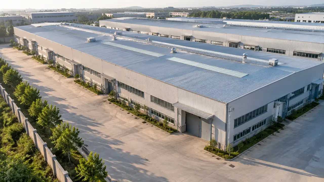
6.3 Exporting a scene for the wider team
Export GLB when the design, planning, or visualization team needs the context in its own tool. Keep the layered scene for future edits, and give the export a dated name. The receiving team can open the site in a familiar environment, and the site group keeps a record of what was shared. Both halves of that handoff matter. Ask the receiving team what format it can open before exporting, since a file nobody can read is not a handoff. Name the file with the site and date so it can be found later.
Generate a site model from a map
7 FAQ
FAQ-1 What should a data center site checklist cover?
Cover land area, slope, flood risk, access roads, power, fiber, water, wastewater, neighbors, and screening. Add the local planning path and the utility lead times. Give each item an owner and a date. The list does not need to be long, but it should be specific enough that someone can close an item with evidence.
FAQ-2 Can GenAnywhere show a proposed data center in context?
Yes, within limits. A user can place a massing volume or an edited building into a generated site scene and view it against existing buildings, roads, and vegetation. The scene is for context and comparison, not engineering. It shows how bulk and access read from the surroundings, which is often the part of a review that is hardest to explain in plan.
FAQ-3 Does the platform provide utility capacity data?
No. Utility capacity, fiber availability, and service lead times come from the providers and the local authority. The platform provides site geometry from map and satellite sources. Keep provider correspondence separate from the scene, and date every answer so the project knows when it needs a refresh. Refresh the answers when a provider changes ownership or upgrades a line.
FAQ-4 Is a generated model enough for a planning application?
A planning application usually needs drawings, reports, and studies prepared to local standards, and those are outside the platform. A generated scene can support early conversations and internal review. Ask the planning office what it expects, and treat the model as one input among the documents the project will assemble.
See how the site workflow fits together
Content and technical notes
This article was prepared by the GenAnywhere team with AI-assisted drafting and human review.
Product features, formats, and availability change as the platform evolves; refer to the official GenAnywhere website for current details.
For technical questions or corrections, contact support@genanywhere.com.
Last reviewed: 2026-11-14.