
Aircraft models: which project types fit GenAnywhere
Airport projects start with the ground, the terminal and the approach; the generated scene supplies that setting, not the aircraft.
GenAnywhere generates a 3D site from map and satellite data, and around an airport that site is mostly runway, taxiway, apron, terminal and the land beyond the boundary. Aircraft are equipment, and the documentation does not list them as generated content. The project types that fit are the ones where the surrounding context does more work than the aircraft itself, which covers more early-stage work than people expect. The boundary is worth stating once, clearly, at the start.
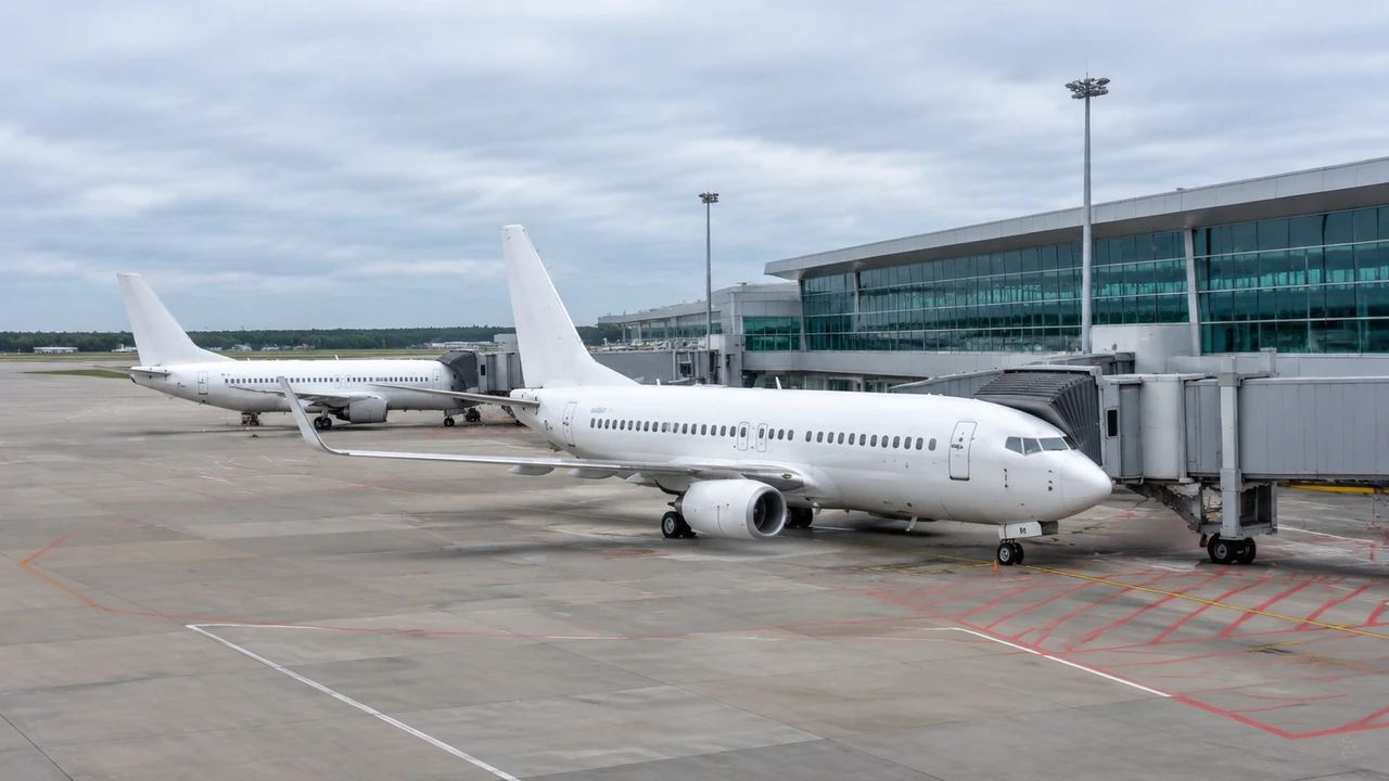
1 What the scene covers at an airport
1.1 Runway, taxiway and apron ground
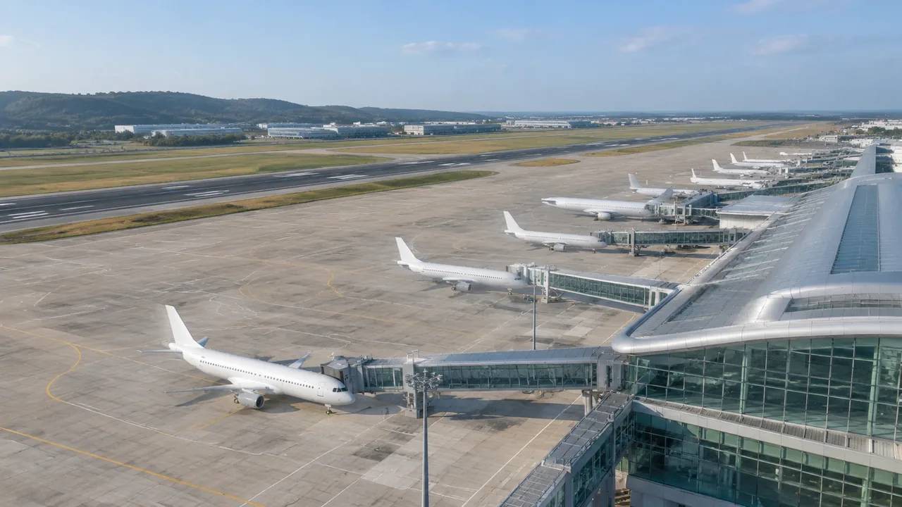
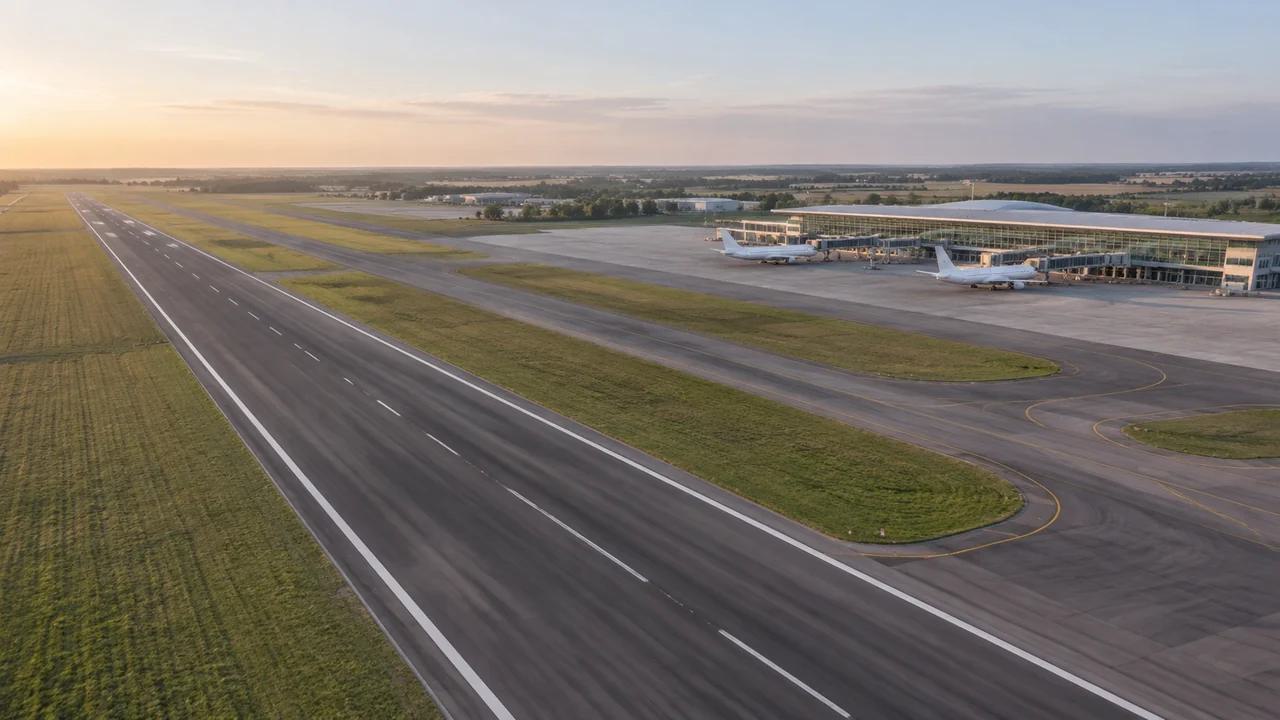
The flat ground of an airfield comes through clearly because terrain is generated to match the surrounding surface. Runway and taxiway strips normally appear as part of the map data, and apron areas read as paved ground beside the terminal. Markings, lighting and signage are not generated as separate objects. Use the scene to discuss where things sit and how they relate, and check the operational detail in an airfield drawing. Viewed from above, the relationship between runway, taxiway and apron is easy to follow, which is the part most early discussions need. That is the view most people recognise from a map, and it is a good place to start.
1.2 Terminal and support buildings
Terminal buildings, hangars, cargo sheds and car parks normally appear because they have footprints in the map data. Heights are estimated, so a tall terminal may read slightly short and a low hangar may read slightly tall. Types are inferred, which means a cargo shed might be labelled as a warehouse. Both can be corrected after generation, and a quick correction makes the scene far easier to discuss. A corrected terminal footprint is often the single change that makes a scene usable for an airport team.
2 Where aircraft geometry comes from
2.1 Aircraft are assets
Aircraft are not generated from map imagery, and no part of the documented output covers them. Teams bring aircraft from an asset library, a manufacturer file or a simple block model, then place them in the downstream tool. That is normal for context work, where the aircraft is there to show scale rather than to be studied. Saying it early stops a review from waiting for geometry the platform does not produce. If the review needs a specific aircraft type, use a scaled block and label it, because the position on the apron matters more than the shape.
2.2 Project types that still benefit
Several project types work well with a site-only scene. A terminal expansion can be discussed against the surrounding city and road network. A new apron can be tested against the terminal frontage and the taxiway. A land-use or noise complaint conversation can start from the shape of the airfield and the neighbourhoods around it. In each case the aircraft is a scale reference, and the context carries the argument. A masterplan is another good fit: the scene shows how a future terminal sits against existing roads, water and neighbourhoods.
3 Edits that help an airport review
3.1 Terminal changes
Terminal and support buildings can be replaced, moved, rotated and adjusted in height or type. A pier extension can be tested as a mass before anyone draws it properly; a cargo shed can be removed to see what the apron looks like without it. Edits are quick, so two options can be compared in one sitting. Keep the version labels clear, because airport reviews often run across several meetings. If two options are close, show them from the same camera position so the comparison is fair. A labelled camera position helps when the same view is needed a week later.
3.2 Layer views
Terrain, buildings and vegetation can be previewed and managed as layers. Hiding vegetation shows the ground and the approach more clearly; hiding buildings exposes the airfield layout. Reviewers use the layers to keep one question on screen at a time. State which layers are visible when a screenshot is shared, because a stripped view can look like a different site to someone joining later. Layer control is also useful when the audience disagrees about what is proposed and what already exists.
4 Limits
4.1 No obstacle, clearance or noise analysis
The scene does not calculate obstacle limitation surfaces, runway clearances, noise contours or airspace constraints. Those studies need survey data, operational rules and specialist tools, and they belong with qualified practitioners. A 3D view can help a group see where a building sits relative to the airfield, but it cannot clear it. The FAA's airport resources are a better starting point for the regulatory side of that question. Keep the airfield drawing and the model in separate windows so a visual check is not mistaken for an approved one.
4.2 Imagery date and construction
Airports are rebuilt in phases, and a terminal that opened last year may still be shown as a construction site. The imagery behind the scene has a date, and anything completed after it will be missing. Check the date for the airfield and mention it in the opening slide. A current layout drawing beside a dated scene works; a dated scene presented as current can lead a review to the wrong conclusion. Ask the airport team which projects were completed in the last two years and mark those areas in the notes.
5 Running the review
5.1 A sequence that holds
Start with the airfield in its landscape, then the terminal frontage, then the specific area under discussion. The wide view answers where the airport sits and how it meets the city; the closer views answer how the buildings and apron are arranged. Aircraft assets can be added at the second step, once the setting is understood. That order keeps the conversation about context rather than about models. If the audience is mixed, leave the context slide up a little longer before moving to the design.
5.2 Handing the scene on
Preview the scene and export a GLB when the discussion moves to another team. The file carries the site into 3D, BIM, GIS and game engine workflows, where aircraft and equipment assets can be added. Import behaviour varies, so test the file before a meeting depends on it. Note what the export contains and which edits were applied, so the next team starts from the same understanding. A one-page note on the export saves the receiving team from guessing.
Open the GenAnywhere app and frame an airport site
6 Before you export
6.1 Agree the extent
Decide how much of the airfield the review covers and frame the scene to match. One terminal and its apron shows frontage and access clearly; the whole airfield shows relationships but loses detail. Choose the extent that supports the decision and record it in the agenda, in metres or in named areas, whichever the team already uses. If the review needs both, take two screenshots rather than one view that serves neither.
6.2 List the aircraft and equipment
Aircraft, ground vehicles, jet bridges and lighting are not in the generated scene. List them in the handover so the next team knows what to add. The list also tells the audience which parts of the picture are context and which are illustration. A named owner for each asset keeps the list honest. That distinction matters when a realistic render could be mistaken for an operational plan.
6.3 Set the next step
Say who receives the scene and what they will do with it. A planning team may want the terminal and the surrounding land; an engineering team may want the ground under its apron design. Naming the next step keeps the export purposeful. If the purpose is unclear, the review needs a question answered before it needs another file. That question usually reveals whether the model is needed at all. Write the answer down and attach it to the export.
7 FAQ
FAQ-1 Does GenAnywhere generate aircraft?
No. Aircraft are equipment and are not part of the generated site content. Teams bring them from an asset library or a simple block model and place them in the downstream tool. In a review, an aircraft usually serves as a scale reference rather than a subject of study. Saying that at the start keeps expectations clear, and it stops the aircraft from becoming the subject of a review that is really about the ground.
FAQ-2 Which airports suit the platform?
The setting matters more than the airport type. Regional fields, cargo sites, terminal expansions and early-stage masterplans all benefit from a scene that shows the airfield, the terminal and the surrounding land together. Complex operational questions still need specialist tools. If the question is about context and layout, the generated scene is likely to help. If it is about operations, start with the operational data instead.
FAQ-3 Can the model check clearances?
No. Obstacle limitation surfaces, runway clearances, noise contours and airspace constraints all need survey data, operational rules and specialist analysis. The scene shows where buildings sit, not whether they are permissible. Keep the clearance work with the qualified team and use the model to support the conversation around it. A realistic image is not a regulatory finding, and it should never be filed as one.
FAQ-4 What do I get at the end?
A previewable 3D scene and an exported GLB carrying the site context for 3D, BIM, GIS or game engine workflows. The export includes terrain, buildings and vegetation, plus any edits you made. It does not include aircraft or ground equipment. Test it in the receiving application, note which parts came from the platform, and keep the aircraft assets in a separate folder.
See how an airport site moves into a GLB workflow
Content and technical notes
This article was prepared by the GenAnywhere team with AI-assisted drafting and human review.
Product features, formats, and availability change as the platform evolves; refer to the official GenAnywhere website for current details.
For technical questions or corrections, contact support@genanywhere.com.
Last reviewed: 2026-11-13.