
Site model terrain: how GenAnywhere builds slopes and water
The ground decides how a scheme sits, and a generated base gives that ground a usable shape.
Site model terrain is the part of a scene that most people notice last and rely on most. Slopes decide access, water decides drainage and the edge between them decides where a building can stand. GenAnywhere generates terrain from map and satellite data, matches it to the surrounding ground and keeps it in its own layer, and this article explains what that means in practice.
1 What terrain carries
1.1 Why does the ground matter?
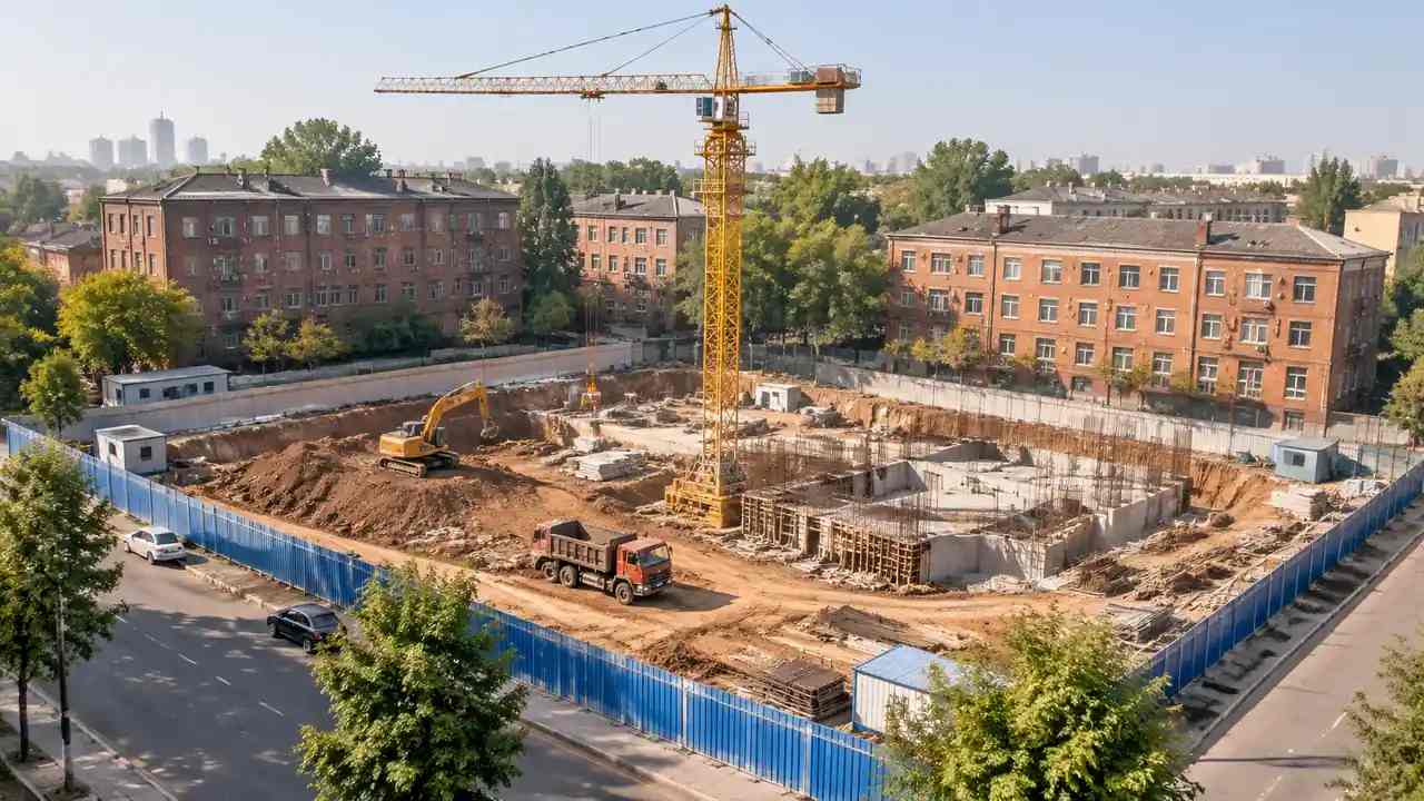
The ground sets the level of every conversation that follows. A scheme that ignores a slope will look fine in plan and fail in three dimensions, and a site that ignores a watercourse will spend the rest of the project explaining the flood risk. Terrain is not decoration.
It is also the layer that most often gets flattened by accident. A quick blockout tends to assume level ground, and the assumption survives into a review where nobody questions it. Bringing the real shape in early prevents that.
The ground also frames the cost conversation. A site that needs cut and fill is a different proposition from one that drains itself, and the difference is visible long before anyone prices a foundation.
1.2 What does the scene build?
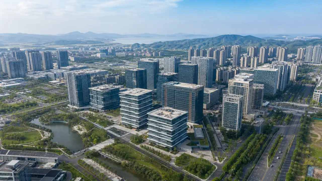
The scene builds a ground surface, water surfaces where the source records them and a vegetation band around the site. The ground is matched to the surrounding context rather than cut off at the plot line. Buildings are then placed on the surface.
The result is a continuous scene rather than a set of pieces. That continuity is what makes a slope readable, because the eye can follow the ground from the site into the neighbouring streets.
It also makes the site legible from the air. An oblique view shows the fall of the land and the way a road bends around it, which a plan view tends to flatten into contour lines that few readers follow.
2 How slopes are made
2.1 Where does the shape come from?
The shape comes from the terrain data in the map source. It is resampled to the scene and smoothed where the source is coarse. The smoothing helps a district read as a landscape and removes small steps that are not meaningful at that scale.
The result is a good representation of the broad shape: a rise, a dip, a bank down to water. It is not a graded surface, and it is not a record of a retaining wall. Those exist in the world and not in the source.
2.2 What is smoothed away?
Small terraces, kerbs, steps and drainage channels tend to disappear. So do sudden changes such as a quarry face or a raised platform. The scene keeps the gesture of the land and loses the details that a designer would need for a level survey.
The USGS publishes national elevation data and explains how such surfaces are produced, which is useful when a team needs to describe the source to a reviewer. The scene inherits the strengths and limits of that kind of data.
3 How water is handled
3.1 Which water appears?
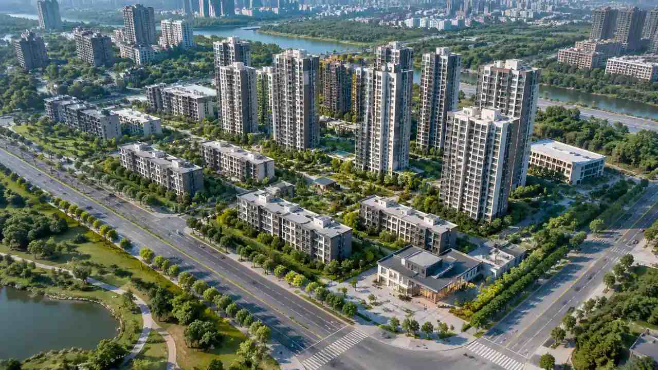
Rivers, canals, lakes and the sea appear where the source records them. The surface is flat, the edge follows the map and the water sits in the terrain layer as a separate material. It reads well in a view and gives a site its context.
The water is useful for orientation and for judging the relationship between a site and its waterfront. It shows how far the water is, how the bank runs and whether a proposal turns toward or away from it.
It also gives the scene a natural edge. A riverside site without water reads as an abstract plot, and the same site with the river in place immediately raises the questions that matter: access, frontage and the treatment of the bank.
3.2 What is water not?
Water in the scene is not a flood model, a tidal record or a drainage design. It does not move, it does not rise and it does not carry a level. A team that needs any of those things needs a different study, with a different source and a qualified author.
Saying this plainly protects the scene. A blue surface in a review invites questions about flooding, and the honest answer is that the scene shows a shape rather than a risk.
4 Where terrain meets buildings
4.1 How do buildings sit on the ground?
Buildings are placed on the generated surface, and their base follows the ground beneath them. On a slope, that means a building can sit at an angle that a real foundation would resolve with a podium or a stepped base. The scene shows the relationship rather than the construction.
That is enough to judge whether a block is cut into the hill or standing on it. It is not enough to set a finished floor level, and the note should say so before anyone quotes one.
On steep ground, check two or three buildings rather than one. The same slope can produce very different relationships depending on where a block sits, and a single example can make a difficult site look easy.
4.2 What do you check at the edge?
Check where the ground meets water, where a building meets a slope and where the scene ends. Those three edges carry most of the surprises. A bank that looks gentle in the source can be a wall in reality, and a plot that looks level can step twice.
Correct the edges that matter, and record the corrections. An edited bank is a design assumption, and the next reader should be able to see it.
5 Terrain in review
5.1 What does the ground show?
The ground shows why a scheme sits where it does. A road that follows a contour, a building that turns to face a view and a yard that steps down to a river all become legible. Those are the arguments a review needs.
It also shows the cost of ignoring the ground. A proposal that cuts across a slope reads as heavy, and a proposal that follows it reads as settled. The scene makes that difference visible without a single number.
5.2 What does the ground hide?
The ground hides what lies beneath it: services, made ground, foundations and contamination. None of that is in a surface model, and none of it can be inferred from one. A site that looks simple can be complicated underneath.
The ground also hides the works that hold it up. Retaining walls, gabions and drainage runs are often absent from the source, and their absence changes how a slope should be read.
None of this makes the scene misleading on its own. It becomes misleading when the gaps are not stated, and a short line in the note is usually enough to keep the reading honest.
6 Terrain and other tools
6.1 When do you export?
Export when the scene has to sit inside another tool. The GLB carries the ground, the buildings and the materials into a design or game environment, where the team can add the detail the scene does not hold. Check the scale and the origin on import.
Check the terrain in the GenAnywhere app and review the ground before adding a single block to it.
6.2 When do you survey?
Survey when a level drives the decision. A retaining wall, a drainage fall or a finished floor level needs a measured source, and a generated surface cannot supply one. Use the scene to show where the survey should focus.
6.3 When is the terrain enough?
The terrain is enough while the question is about siting, access or the relationship between a proposal and the land. It stops being enough when the question turns to engineering. Recognising that turn is the skill.
See how terrain is generated in the GenAnywhere workflow.
7 FAQ
FAQ-1 Is the ground measured?
No. The ground is generated from map and satellite terrain data, then smoothed to suit the scene. It represents the broad shape of the land and does not carry measured levels. If a level matters to the decision, use a survey and keep the scene for context. The two can sit side by side without either being wasted.
FAQ-2 Does it include retaining walls?
Usually not. A retaining wall is a built structure, and a surface model tends to smooth it into the slope. Where a wall changes the scheme, add it in the design tool and record the assumption in the note so the next reader can see what was added. A short list of added structures is enough.
FAQ-3 Can I edit the terrain?
The terrain sits in its own layer and can be adjusted as part of the scene. Use that for the corrections that matter, such as a bank that has changed or a platform that the source missed. Keep the edits few and recorded, because every change moves the scene away from its source.
FAQ-4 Does it handle coastal sites?
It shows the shoreline as the source records it, with water as a separate surface. It does not model tides, storm surge or erosion. A coastal decision needs a coastal study, and the scene can show where that study should look. Treat the waterline as a starting mark, not a design level.
Content and technical notes
This article was prepared by the GenAnywhere team with AI-assisted drafting and human review.
Product features, formats, and availability change as the platform evolves; refer to the official GenAnywhere website for current details.
For technical questions or corrections, contact support@genanywhere.com.
Last reviewed: 2026-11-06.