
Metro station scale: what GenAnywhere covers in one view
One scene holds a station and the blocks around it; the useful scale is the walking catchment, not the whole line.
GenAnywhere covers a metro station and the neighbourhood around it in one scene. The station may appear as a building mass where the map data shows a footprint, and the streets, blocks, ground levels and vegetation around it are generated. How much fits depends on how much detail the review needs, and that trade is worth deciding before the camera moves.
1 What one view holds
1.1 Station plus walking catchment
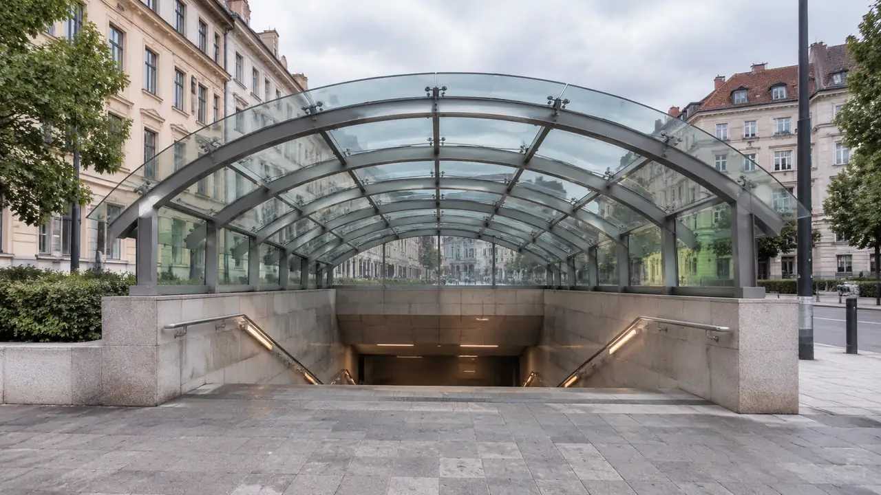
A comfortable extent for most station work is the station plus ten to fifteen minutes of walking, which in a dense city is a few hundred metres. Within that area the scene holds the streets, the buildings, the open ground and the trees, and a reviewer can follow how someone would arrive. Go wider and the blocks thin into shapes; go closer and the setting disappears. Choosing the extent is the main decision in a scale review, and it is worth writing down before any screenshot is taken. A note in metres is more useful than a description of the area.
1.2 Where the edge falls
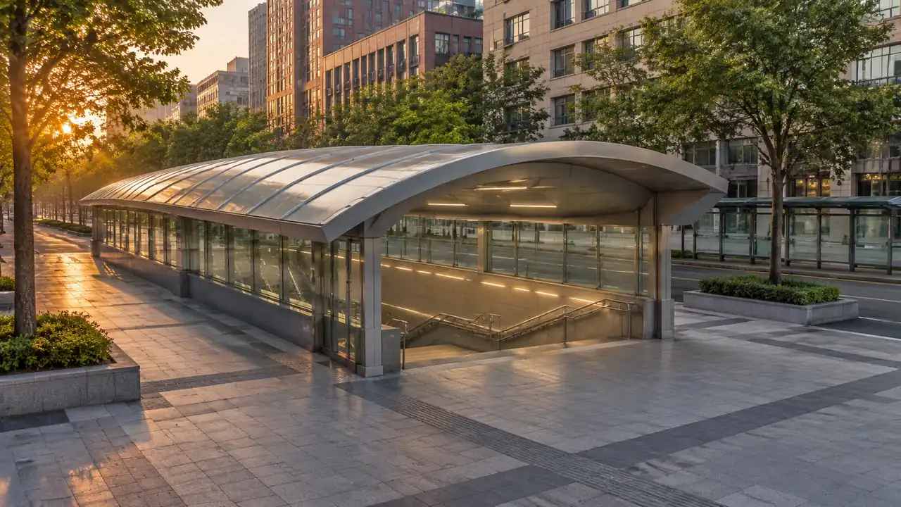
The edge of the scene is where detail stops, and it is visible. Buildings near the boundary may be cut, terrain may flatten and vegetation may thin. Put the subject in the middle and the edge in the background, and the review will not draw conclusions from the thinnest part of the data. If the edge falls across a street the audience knows, they will notice, so choose a boundary that follows something recognisable, such as a rail line, a river or a major road. That choice also makes the extent easy to repeat in a later review.
2 Scale questions the view answers
2.1 Distance to the next block
The scene answers relative distance questions well: how far the station entrance is from the corner, how many blocks sit between the station and a major road, how much open ground separates two neighbourhoods. Those are questions of arrangement, and they are the ones that come up before any design work. The scene does not measure along a route, so a walking distance figure still comes from a map or a survey. Use the view to agree on the geography and the numbers to settle the argument. When the two disagree, say which one the meeting is using.
2.2 How tall the neighbours read
Heights are estimated from the source, so a scene at this scale shows the massing of a neighbourhood rather than the height of any single building. That is useful: a station entrance reads differently against six storeys than against two. Correct the buildings that frame the entrance and the comparison becomes reliable enough to argue with. Flag the ones you did not correct, because an estimated height in a foreground building shapes the whole impression of the view.
3 When one view is not enough
3.1 Deep stations and underground work
A metro station is mostly below ground, and nothing in the scene shows the platforms, the tunnels or the concourse levels. One view covers the surface and the entrance; the underground work needs a design model and a section drawing. Say this early when the audience includes engineers, because a surface view can look like an omission rather than a boundary. The scene sets the station in its street, and the station design lives elsewhere. Both are useful and they answer different questions.
3.2 Splitting a long line
When a review covers a line rather than a station, split it into segments. A line drawn across one wide scene loses the block detail that makes each station readable. Segments keep the scale consistent and let each station be discussed in its own setting. Number them along the line and use the same extent for each, so the set looks like one study rather than a collection of unrelated views. The numbering also survives a change of presenter, which helps in a long project. A short index page with one line per segment is enough to keep the set in order.
4 Limits at this scale
4.1 No catchment or ridership figures
The scene carries no population, trip or ridership data, so it cannot draw a catchment in the analytical sense. It shows the shape of the neighbourhood, which is a starting point for that work rather than the work itself. Organisations such as UITP publish the methods that sit behind ridership and catchment studies. Keep the numbers with the people who own them and use the scene to make the geography legible. A view that shows where people live is not a statement about how many will travel.
4.2 Height estimates at distance
Estimated heights get less reliable as buildings recede, and at the edge of a wide scene they are background shapes. Do not quote a height from the far side of the view. If a distant tower matters to the argument, correct it, or bring the extent in so it sits closer to the centre. A number that came from the middle of the screen carries more weight than one from the edge, and it should, because the model is doing less work at the boundary. Move the camera before you move the argument.
5 Presenting the view
5.1 Framing and camera height
Set the camera at a height that matches the question. A high view explains the neighbourhood and the routes; a lower view explains the entrance and the street. Mixing the two in one sequence works if each frame is labelled with what it shows. A camera that drifts during a presentation makes the audience work, and it makes screenshots hard to compare later. Fix two or three positions, name them, and return to those positions for every view in the set.
5.2 What to label on screen
Label the station, the main streets and any building you corrected. Labels do the work that a legend cannot, because they sit on the thing they describe. Keep them short and place them where they do not cover the subject. A labelled screenshot is reusable in a report; an unlabelled one usually needs a caption that explains more than the image shows, which is a sign the labels were missing in the room. Keep the label list short enough to read at the back of a room.
6 Exporting a station set
6.1 Extent and tiling
Export one scene per station rather than one scene for the line. Each file then carries a consistent extent, and the receiving team can open them side by side. If a station needs a wider view for a specific question, export that as a second file and name it by purpose. Tiling a long corridor into station-sized pieces is easier to manage than one large file with uneven detail. It also means one update does not force a re-export of the whole line.
6.2 Detail loss at the edge
Expect the edges to be thinner. When the file is opened in a BIM or GIS tool, the boundary will show as a cut, and anything outside it will be absent. Note the extent in the handover so nobody assumes the scene continues. If the design needs context beyond the boundary, the receiving team can add what it has rather than asking for a regenerated scene that would move the edge rather than remove it. Say where the cut falls in the note, in metres from a named street.
6.3 Consistency across sheets
Keep the same extent, camera height and layer state across a set of station views. Consistency is what makes a set readable as a single study, and it costs nothing beyond a note at the start. If a later view breaks the pattern, say why in the caption. Reviewers notice inconsistency quickly, and they tend to trust the set less once they have seen two views that do not match. Keep the camera positions in a text file next to the exports.
Open the GenAnywhere app and frame a station neighbourhood
7 FAQ
FAQ-1 How much area does one view cover?
It depends on the detail the review needs. A station and a few hundred metres around it keeps streets, blocks and entrances readable. A wider view shows how the station relates to the city and thins the detail. Pick the extent that answers the question, and if two questions need two extents, take two views rather than one compromise. Write the extent down in metres so the next review can match it.
FAQ-2 Does the scene include the platforms?
No. Platforms, tunnels, concourses and escalators are not part of the generated content. The station may appear as a building mass where a footprint exists, which places it in the street but says nothing about what is below. Underground design comes from the station model, and the scene provides the surface context around it. Keep the two views in separate windows during a mixed review so the boundary stays clear.
FAQ-3 Can I change the station?
You can change the building mass that represents the station, which is useful for testing how a new entrance volume reads from the street. Height, position, rotation and type can all be adjusted on buildings. The change will not create stairs, canopies or platform geometry. Describe it as a mass in the meeting and keep the design conversation in the design model, where the details can actually be resolved.
FAQ-4 What comes out of the platform?
A previewable scene and a GLB carrying terrain, buildings and vegetation for 3D, BIM, GIS or game engine work. The export does not include station systems, tunnels or street furniture. Open it in the receiving tool, confirm the extent and the edits, and add the station design there. A short handover note keeps the next review from starting over, and it tells the receiving team what the file was meant to support.
See how a station set moves into a GLB workflow
Content and technical notes
This article was prepared by the GenAnywhere team with AI-assisted drafting and human review.
Product features, formats, and availability change as the platform evolves; refer to the official GenAnywhere website for current details.
For technical questions or corrections, contact support@genanywhere.com.
Last reviewed: 2026-11-13.