
BIM modeling infrastructure: how teams use GenAnywhere on corridors
A road or rail corridor is a site with a different shape, and the context questions change with it.
BIM modeling infrastructure usually starts with a long, narrow area rather than a plot, and that shape changes what a site scene has to do. GenAnywhere draws an area from map data, generates buildings, terrain, water and vegetation and exports the result as a GLB. This article sets out how teams use that scene along a corridor, what it shows well and where engineering work takes over.
1 What a corridor asks
1.1 How is a corridor different?
A corridor is defined by its length, and its questions come from the edges. What stands beside the route, where it crosses water, how the ground rises and falls, and which buildings sit close enough to matter. Those questions are spatial and they repeat along the route.
The scale is different too. A plot fits on a screen, while a corridor may run for kilometres. A scene that covers the whole route at plot detail becomes heavy, and a scene that covers a short segment misses the pattern.
The useful compromise is a working area for the segment under discussion and a lighter model for the whole route. The working area supports design conversations, and the lighter model shows the corridor in its landscape.
1.2 What can the scene hold?
The scene holds buildings, terrain, water and vegetation along the drawn area, in separate layers. It can show a settlement, a river crossing, a cutting or a row of warehouses, and it keeps those elements editable. That is enough for early conversations about context.
It does not hold the alignment. The route in the scene comes from the map, not from a design, and the difference matters as soon as the project moves to a new alignment. Use the scene to describe the corridor as it is, and the engineering tools to describe what it will become.
The scene also does not hold ownership along the route. Parcels, easements and access rights come from other records, and a corridor review that needs them should ask for them before the meeting.
2 Drawing the area
2.1 How do you handle a long area?
Draw in segments. A corridor is easier to generate and review in lengths that fit a screen, and the segments can share a naming convention so the whole route can be assembled later. A single enormous area is slow to edit and hard to review.
Keep an overlap between segments. A small overlap prevents a gap at the join, and the overlap is easier to manage than a seam that nobody notices until a review. Name each segment by chainage or by a landmark, not by a number alone.
Record the segment boundaries in the note. A reader who knows where each segment starts can assemble the route without guessing, and the record costs one line per segment.
Name the segments by something a local reader will recognise as well as by number. A bridge name or a junction is easier to find than a chainage in a conversation, and the pair works in both directions.
2.2 What about edge conditions?
The edges of a corridor carry the questions. A bridge, a level crossing, a junction or a narrow pass is where the context changes, and those are the places worth drawing at greater length. A uniform band along the route misses them.
Check the outer boundary of each segment before accepting it. Coverage can thin at the edge of a dataset, and a row of buildings half drawn will mislead a review more than a missing row would.
3 What the scene shows
3.1 How does the ground read?
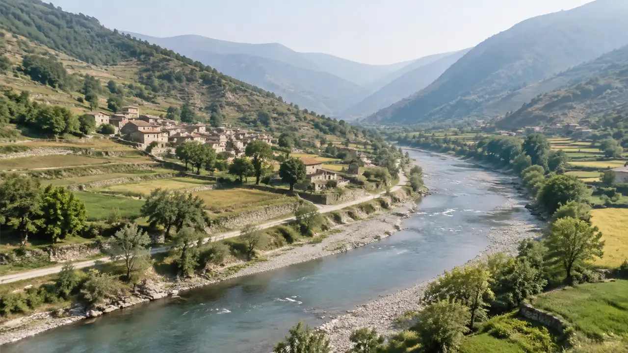
The ground reads as a continuous surface, which is what a corridor needs. A rise, a cutting, a floodplain or a river terrace becomes visible along the route, and the relationship between the alignment and the land can be discussed without a section drawing.
The scene also shows water crossings in context. A river, a canal or an estuary sits in the terrain, and the width and the banks are visible. That is useful for early conversations and not a substitute for a hydraulic study.
Check the crossing points closely. A bank that has been rebuilt or a bridge that has been replaced will sit differently from the source, and those are the places where an early review is most likely to be misled.
3.2 What about buildings along the route?
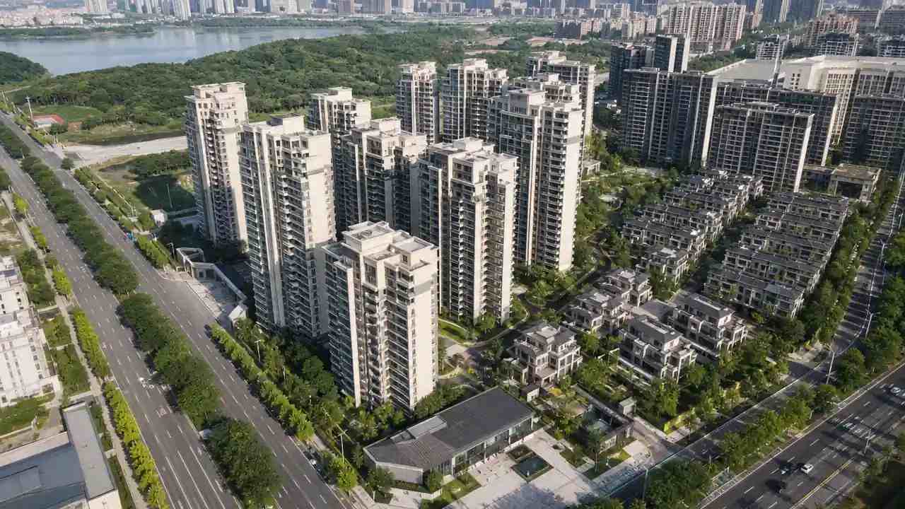
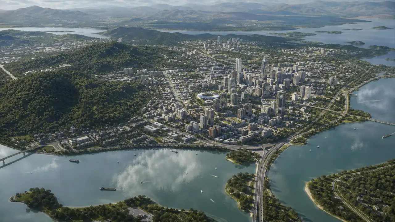
Buildings along the route appear as editable blocks, which helps with questions about proximity and impact. A school, a row of houses or an industrial shed can be seen against the corridor, and the team can judge where the route feels close and where it does not.
The scene also shows where the route passes through a settlement and where it passes beside one. That distinction shapes the engagement plan, and it is easier to see in a scene than in a table of land parcels.
4 What it cannot show
4.1 What about alignment and design?
The scene does not design an alignment. It shows the corridor as the map records it, with the buildings and ground around it. A new route, a widened section or a changed junction belongs in the engineering tools, and the scene can carry the result as a reference.
This boundary keeps the scene honest. A team that treats a map route as a proposed alignment will spend a meeting correcting the assumption, and the correction is avoidable with one sentence at the start.
4.2 What about traffic and structures?
Traffic modelling, structural design and drainage sit outside the scene. Those studies need their own tools and their own authors, and the scene cannot contribute a number to them. It can contribute context: where the route runs, what it passes and how the land lies.
OGC standards such as CityGML describe how city and landscape objects are structured for exchange, which helps when a corridor scene has to be shared with a GIS team. The vocabulary is different from an engineering model, and the difference is worth knowing.
5 Working with engineers
5.1 How do you share a reference?
Share the scene as a reference with a stated anchor. A chainage point, a bridge or a junction gives the engineering team a position that both files can use, and the anchor should be drawn as well as written. Without it, the scene and the alignment drift.
Agree which version is current. A corridor project can run for years, and a scene from an early stage will not describe the corridor at a later one. Version the file and say which stage it belongs to.
5.2 What do you hand over?
Hand over the GLB, the note and the segment list. The note carries the source, the date, the area and the checker, and the segment list explains how the pieces fit. The engineering team gets context without having to rebuild the district.
Check the terrain in the GenAnywhere app before a corridor review, and keep the segment boundaries with the file.
6 Records and limits
6.1 What goes in the note?
The note records the source, the date, the segments, the anchor and the checker. It also says what the scene is for: context along a corridor rather than a design of the route. That sentence prevents most of the wrong questions.
6.2 When do you refresh?
Refresh when the alignment changes, when the corridor's surroundings change or when a new segment is added. A scene that describes a previous alignment is worse than no scene, because it looks current while being wrong.
See how terrain is generated in the GenAnywhere workflow before the next segment is drawn.
6.3 When do you stop?
Stop when the questions move from context to engineering. The scene has done its work once the team agrees where the route runs and what it passes. Everything after that belongs to the alignment and the structures.
7 FAQ
FAQ-1 Does it design alignments?
No. It generates a context scene from map data. The route in the scene follows the source, and a proposed alignment is authored in an engineering tool. The scene shows what the corridor passes through, which is a different contribution. Keep the two drawings apart, and label the scene with its date.
FAQ-2 Can it cover a long route?
It can, in segments. A whole corridor at plot detail becomes heavy, so teams draw the stretches they are discussing and keep a lighter model for the overview. Overlap the segments slightly and name them consistently. Record the boundaries so the pieces can be rejoined without a survey of the folder.
FAQ-3 Does it include utilities?
No. Underground services and cables are not in a surface scene. They come from asset owners and surveys. The scene can show where a utility question is likely, which helps plan the search and the conversations. It is a prompt, not a record, and the two should never be filed together.
FAQ-4 Is this a GIS?
No. It is a browser scene with an export, and it does not replace a GIS. It can sit beside one, and the GLB can be read by tools that work with spatial data. The GIS remains the system of record for the layers it holds, and the scene stays a working view.
Content and technical notes
This article was prepared by the GenAnywhere team with AI-assisted drafting and human review.
Product features, formats, and availability change as the platform evolves; refer to the official GenAnywhere website for current details.
For technical questions or corrections, contact support@genanywhere.com.
Last reviewed: 2026-11-06.