
Digital towers: how GenAnywhere supports airport site review
Sightlines, obstructions, and the ground beneath a remote tower site
A digital tower replaces a glass cab with cameras on a mast, and the site review starts with a simple question: can the cameras see what the controller needs to see? That question depends on terrain, buildings, and the paths between them. GenAnywhere builds an editable 3D site model from a map selection, which gives an airport team a shared view of the ground before a mast location is fixed.
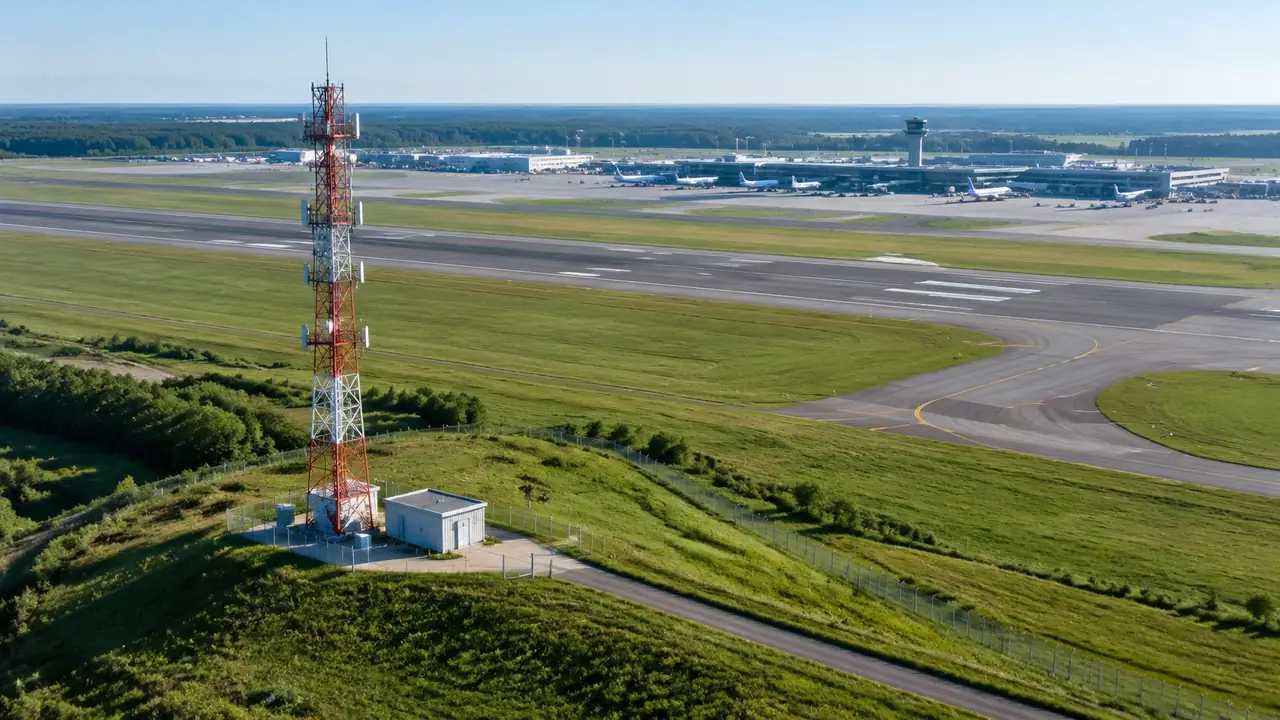
1 What a digital tower site review covers
1.1 Which sightlines matter?
Digital towers move the controller away from the cab, but the sightline requirement does not move with them. A controller watches the runway, the taxiways, and the apron, and each view has a different geometry. The runway ends need a clear line along the surface; the apron needs a view into the stands; the taxiway needs a view of the junctions where aircraft wait. A mast placed for one view may lose another. Drawing those lines on a 3D scene shows where a building, a tree belt, or a rise sits between the camera and the target, which is the kind of conflict a plan sheet tends to flatten. Guidance from ICAO frames those sightlines in operational terms, which helps a team explain why a blocked view matters to a non-specialist audience.
1.2 What supports the mast and equipment?
A mast needs power, a data connection, a service road, and space for equipment cabinets. It also needs a backup path for both power and data, because a remote tower that loses its link stops working. Those requirements pull the site toward existing infrastructure, which may conflict with the sightline that made the location attractive. Seeing the power line, the fiber route, and the access road in the same scene lets a team weigh the two needs together instead of discovering the conflict during detailed design.
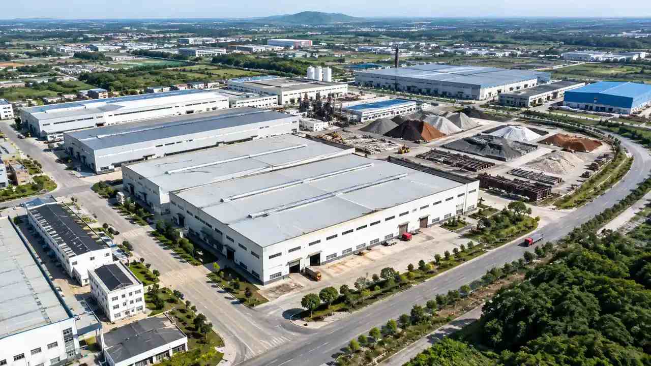
2 Reading terrain around the airfield
2.1 How does ground shape a view?
Airfields are graded for drainage, and the result is a set of shallow swales, berms, and raised shoulders that do not look like much on a plan. At camera height, a berm of two meters can hide a taxiway edge. A tree line outside the fence can hide an approach. The scene shows the ground as a surface rather than a set of contours, so a team can stand at a candidate mast location and look toward the areas the controller must watch. That is a faster way to find a blocked view than reading elevations.
2.2 How do teams test a second location?
Build the second location as a separate area, or move the camera point within the same scene, and keep the target list identical. Look from the mast toward the runway ends, the apron, and the taxiway junctions. Then compare what each location reveals and what it hides. A second location may trade a better apron view for a worse runway view, and that trade is easier to discuss when both are shown from the same height. Record the views so the comparison can be repeated.
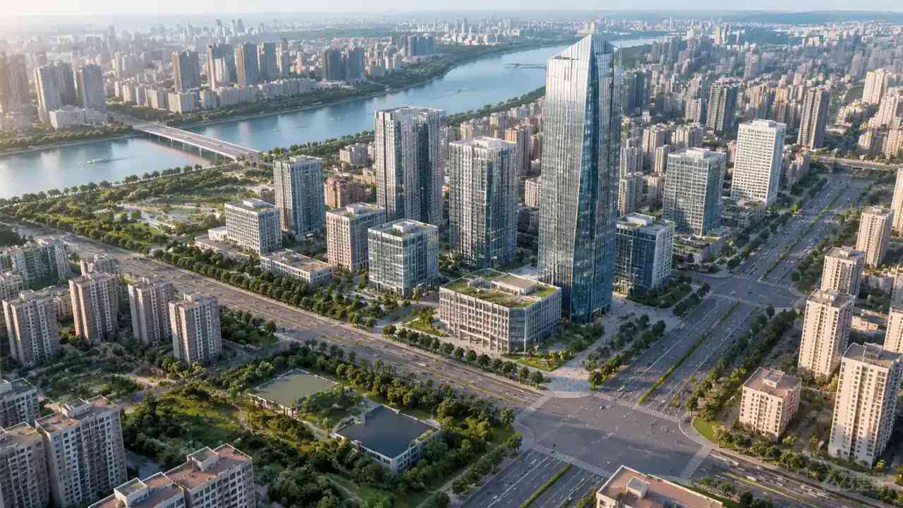
3 Comparing sites on the same terms
3.1 What should stay constant?
Camera height, field of view, target list, and time of day should be the same for every candidate. A view taken from a higher point will always look better, and a view taken in clear light will hide haze that matters in operation. Keep the terrain and building assumptions identical unless the option changes them. Write the settings into the review note. Consistency is what makes a set of images useful to an operations team that was not present when they were made.
3.2 How do teams record obstructions?
Mark each obstruction with a location, a rough height, and the view it affects. Note whether it is on airport land, on adjacent land, or outside the property the airport controls. That distinction matters because a tree can be trimmed and a building cannot. Keep the marks simple and separate from the scene itself, so the record survives when the model is rebuilt. A short list of obstructions is often the most useful page in the review file.
4 Talking to operations and planning staff
4.1 How does a model help a briefing?
A controller can point at a scene and say what is missing from the view faster than they can describe it in a memo. A planner can see where a proposed building would sit against the mast. A maintenance lead can see how a service van would reach the equipment. The scene gives each group a way to describe the same place, which shortens the meeting and reduces the chance that two teams leave with different pictures of the site.
4.2 What should the model not claim?
The scene does not show camera coverage, resolution, latency, or the reliability of a data link. Those are engineering questions for the system designer and the airport. It also does not show obstacle limitation surfaces or regulatory boundaries. When the model is shown, say that it represents the ground and the buildings around a candidate site. That framing keeps the conversation on siting, where the scene is useful, and off the technical performance claims it cannot support.
5 Where GenAnywhere fits
5.1 What can be built and adjusted?
GenAnywhere generates a 3D scene from an area chosen on a map, then lets a team edit the buildings it finds. A structure can be replaced, moved, rotated, or changed in height and type, and terrain, water, and vegetation are generated and matched to the ground. Buildings, terrain, and planting can be previewed and managed as separate layers. For a tower study, that supports tests of mast position, equipment building placement, and the height of nearby structures.
5.2 What does export support?
After preview, the scene exports as a general GLB file for 3D, BIM, GIS, and game engine workflows, including the directions covered in the official tutorials. An airport can share the scene with a systems integrator, an architect, or a planning consultant without asking each of them to use the same authoring tool. The file is a review asset, not a survey product, and the receiving software decides how coordinates are handled. Test the handoff with a small scene before the project depends on it.
6 Limits and next steps
6.1 When is field work needed?
When the question turns to camera performance, structural loading, or the exact height of an obstruction, the scene is background. A field survey, a structural assessment, and a systems study answer those questions. Use the model to decide where the survey should look and which obstructions deserve a measurement. A team that arrives with a marked scene usually gets a more focused survey scope, because the areas of doubt are already visible on the ground.
6.2 What belongs in the review file?
One page per candidate site, the fixed views, the obstruction list, and a note on the infrastructure each site would need. Add the source date of the imagery and the assumptions about mast height and equipment. Record which questions remain open and who owns them. Keep the language plain enough for an operations manager and a planning official. The file should let a reader compare two sites without reopening the model.
6.3 How does a team start?
Pick one candidate mast location and build a rough scene before the next review session. Keep the camera at a plausible mast height and the target list short. The aim is to find the view conflicts that the site has to answer, not to produce a finished design. If the scene shows a blocked sightline that nobody had raised, the exercise has done its job. Then repeat the method at the second location and keep a short note on what changed between the two reviews.
Start with a map selection in the browser app, then follow the site workflow to prepare the tower review.
7 FAQ
FAQ-1 Can the platform design a tower?
No. The platform builds a site scene, not a tower design. It shows the ground, buildings, vegetation, and water around a candidate location, and it lets a team test where a mast or an equipment building would sit. The mast structure, camera specification, network design, and operating procedures come from the system designer and the airport. Use the scene to frame those discussions and to show non-specialists where the site would be.
FAQ-2 Does the model show camera coverage?
It does not calculate camera coverage or draw a field of view. It shows the terrain and structures that may block a view, which helps a team identify the sightlines that need a closer study. Coverage analysis belongs to the system designer, using the camera specification and a survey of the site. The model is a way to find the obstructions worth measuring, not a substitute for the coverage study.
FAQ-3 How do teams compare a rooftop mast and a greenfield site?
Use the same views, the same target list, and the same assumptions about mast height. A rooftop site may offer power and data without a new route, while a greenfield site may offer a cleaner view and more room for equipment. The scene can show how each option sits against the runway, the apron, and the surrounding buildings. It cannot decide which is more reliable. That call belongs to the airport's technical review.
FAQ-4 What does the export suit?
The GLB export is a general scene for review and visualization. It suits design discussions, briefings, and handoffs to 3D, BIM, GIS, or game engine teams, including the tools covered in the official tutorials. It does not carry survey coordinates, camera coverage, or network data. Confirm how the receiving software handles scale and orientation, and test the import before a production workflow depends on it.
Content and technical notes
This article was prepared by the GenAnywhere team with AI-assisted drafting and human review.
Product features, formats, and availability change as the platform evolves; refer to the official GenAnywhere website for current details.
For technical questions or corrections, contact support@genanywhere.com.
Last reviewed: 2026-11-08.