
Site model options: a GenAnywhere review for early-stage teams
A short comparison that starts with the decision, not with the software list.
Site model options look similar in a demo and behave very differently in a project. A map-based base, a drawn model and a captured scene each carry a different source, a different cost and a different set of gaps. This review sets out how to compare them, where GenAnywhere fits, and what an early-stage team should record before the choice becomes a habit.
1 Frame the choice
1.1 Which decision leads?
Start with the decision the scene has to support. A massing study, a consultation image and a coordination meeting are three different jobs, and each tolerates a different level of detail. Write the decision in one sentence before opening any tool.
A question with two parts usually produces a scene that serves neither. Split it, choose the option that fits the harder part, and accept that a second scene may be needed later. The cost of two focused scenes is often lower than the cost of one confused one.
1.2 Who owns the criteria?
The person who pays, the person who uses the scene and the person who maintains the file each care about something different. A criterion owned by nobody tends to be ignored until it causes a problem. Name an owner for each line before scoring anything.
Criteria that change after the answers are a way of reaching a decision that was already made. Write them down with the question, and keep the pair together. A written pair is what makes the next review repeatable.
2 Compare the sources
2.1 How does a map base start?
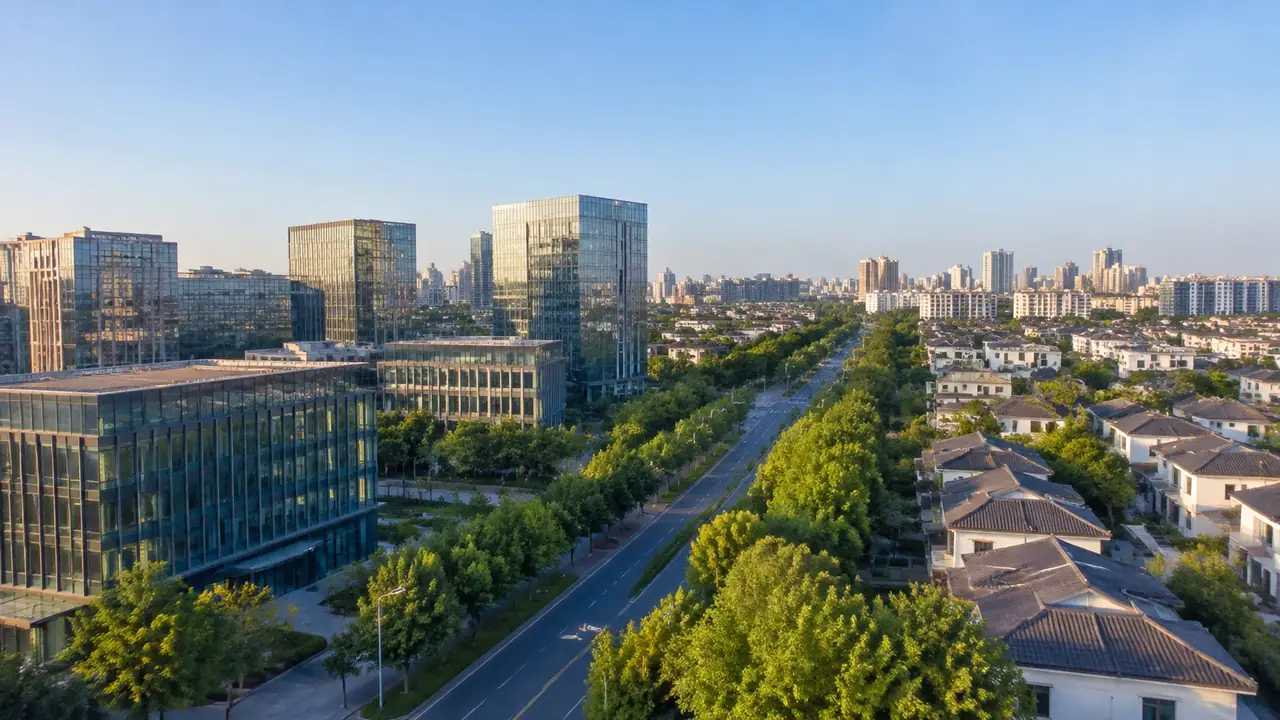
A map base starts from satellite and map data. The team draws an area, and the scene is generated with buildings, terrain, water and vegetation. Heights are estimated and types are inferred, which is enough for massing and context work at district scale.
The strength is speed and editability. A block can move, a building can be replaced, and the scene stays in layers. The weakness is freshness and depth: the source carries a date, and it does not measure condition or structure.
That combination suits the weeks when a team is testing arrangements. It stops suiting the work when a number has to be defended, because an estimated height cannot defend anything on its own.
2.2 How does a drawn model start?
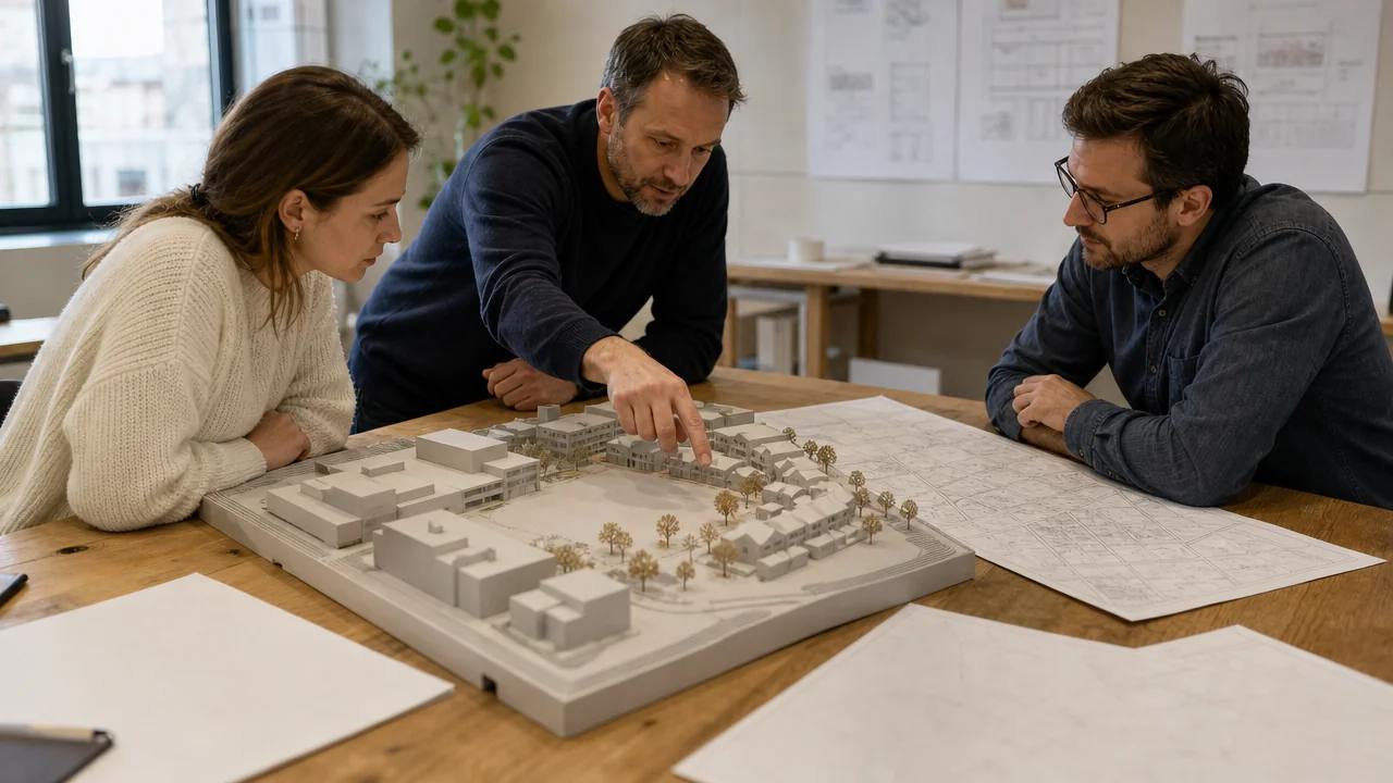
A drawn model starts from drawings, a survey or a team's own construction. It can carry more detail than a map base and it depends on someone having made that detail. The work is deliberate, and the result reflects the brief rather than the district.
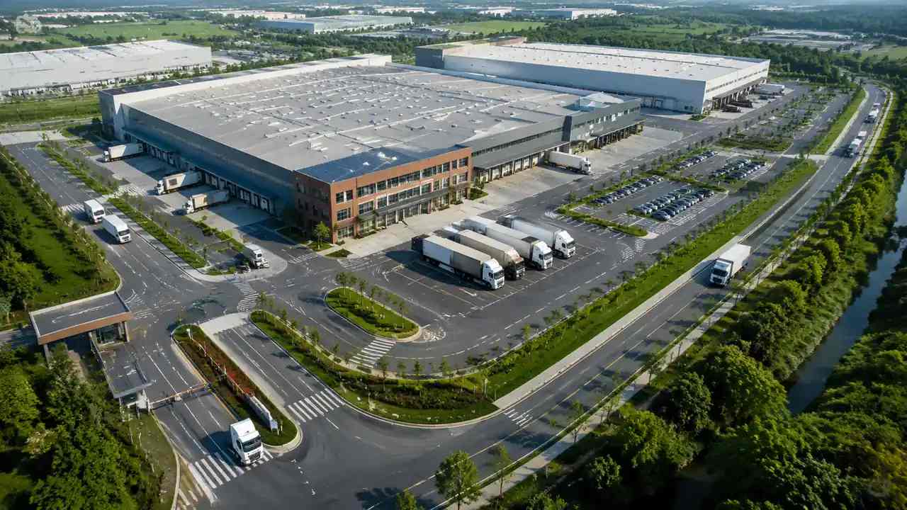
A captured model starts from a flight or a scan. It records surfaces as they were on the day, and it is strong on texture and existing shape. It is weak on what the surface means, and it cannot be edited in parts unless someone separates them.
3 Compare the outputs
3.1 What does each produce?
The map base produces an editable scene and a general GLB for downstream tools. A drawn model produces design geometry with the author's structure and naming. A captured model produces a surface that reads well in a viewer and needs work before it behaves like a model.
The difference matters at handover. A receiver who expects elements with properties will find shapes in a GLB, which is fine for context and wrong for coordination. Say which output the receiver is getting before the file is sent.
3.2 What does the receiver need?
Ask the receiver two questions: what will you measure, and what will you edit? The answers decide whether context is enough or whether the file needs structure. A team that will mainly orbit the scene needs less than a team that will import it into a design tool.
Industry frameworks such as the buildingSMART standards describe how building information is organised for exchange. They are useful for setting expectations, and they also show why a context scene and a building model are different instruments.
4 Compare the effort
4.1 Where does the time go?
In a map base, the time goes into drawing the right area, checking the date and correcting a handful of buildings. In a drawn model, the time goes into making the geometry. In a captured model, the time goes into the flight, the processing and the cleanup.
The three costs land at different moments. A map base front-loads very little, a drawn model front-loads most of the work, and a capture sits in between with a field day and a processing wait. Compare the totals, not the demos.
It also helps to price the next question rather than this one. A cheap scene that has to be rebuilt for the following stage is not cheap, and an expensive model that answers three questions can be good value.
4.2 What does a change cost?
A change in a map base is an edit: move, rotate, replace or resize. A change in a drawn model is a modelling task, and its cost depends on how the original was built. A change in a captured model often means another flight unless the change is small.
Early-stage projects change often, which favours the option with the cheapest revision. Later stages change less and tolerate more structure. That shift is the clearest signal that the team should reconsider its choice.
5 Compare the fit
5.1 What fits an early stage?
An early stage fits a base that appears quickly and can be questioned. The team is still deciding what the site is for, and a scene that invites rearrangement is more useful than a scene that resists it. Detail can wait without hurting the decision.
GenAnywhere fits this stage because the base is generated from a drawn area and stays editable. It is not the right instrument for documentation, and it does not claim to be. The fit is specific, which is what makes it useful.
5.2 What fits a later stage?
A later stage fits a model that carries authored elements and documented properties. That is where a design or BIM tool earns its place, and where the context scene becomes a reference rather than the working file. The handover between the two is the moment to check scale and naming.
Keeping the context scene alive after the handover is still worthwhile. It gives the team a fast way to show neighbours and streets when a question returns to the district.
The two files should not be confused, so name them differently. A clear suffix such as context or design saves a search and prevents the wrong file from being sent to a reviewer.
6 Decide and record
6.1 How do you choose?
Choose the option that answers the question with the least irreversible work. If a map base answers it, use the map base and keep the budget for the questions that follow. If the decision depends on a measured condition, the base is a preparation step rather than the answer.
Write the choice down with one line of reasoning. A decision with a reason survives a change of staff; a decision without one gets reopened at the next meeting.
6.2 What do you record?
Record the question, the criteria, the option chosen and the options rejected. One line per rejected option is enough to show that the review was real. The record also protects the team when someone asks why the expensive route was not taken.
Test the comparison on a live area in the GenAnywhere app and run the same comparison on a real site before committing to a method.
6.3 When do you revisit?
Revisit when the question changes, when the site changes, or when a new stage begins. A review that is never revisited becomes a rule, and rules outlive their reasons. Put a date on the decision so the revisit is expected.
Compare the workflow on a site you know in GenAnywhere.
7 FAQ
FAQ-1 Is this a software comparison?
No. It compares sources and outputs, not product features. Two teams using the same software can still need different methods, and two different tools can support the same method. The point is to choose an instrument for a question, then let the tool follow. A feature grid tends to hide that distinction.
FAQ-2 How many options should a review cover?
Three or four is usually enough. Include the method the team already uses, because it is the baseline every alternative is judged against. More options add cost to the review and tend to favour whichever one has the longest feature list rather than the clearest evidence. Drop any option the team would not actually use.
FAQ-3 Can the options be combined?
Yes, and they often are. A captured scene can supply surface detail for a map base, and a drawn model can sit on top of either. The combination works when each part has a known role and a named owner, and it fails when two sources are merged without anyone saying which one wins.
FAQ-4 What is the usual mistake?
Choosing the most detailed option for the earliest question. Detail feels like safety, and it delays the decision while the site stays unexamined. A rough base that starts the conversation today usually beats a detailed model that arrives after the meeting has moved on. Match the instrument to the stage, then upgrade when the question asks for it.
Content and technical notes
This article was prepared by the GenAnywhere team with AI-assisted drafting and human review.
Product features, formats, and availability change as the platform evolves; refer to the official GenAnywhere website for current details.
For technical questions or corrections, contact support@genanywhere.com.
Last reviewed: 2026-11-06.