
Airport rezoning: can Calexico test layouts using GenAnywhere?
How a border airport's land use review can use a 3D scene before zoning moves.
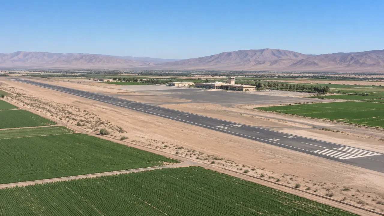
Calexico's airport sits at the edge of a small city, with farm fields, a border crossing, and neighborhoods close by. Rezoning the land around it means testing where new uses would sit against the airfield and the people who live nearby. GenAnywhere can assemble a 3D site scene of the surrounding parcels from map data, so planners can compare layouts before any zoning text changes. The scene informs the discussion. It does not clear a proposal or replace an airspace study.
1 What rezoning around an airfield has to answer
1.1 Which parcels touch the operating area?
The parcels that matter most are often the ones closest to the ends of the runway and the taxiways. A change of use there can bring more people, more vehicles, or taller structures into an area where the airport has an interest. Local plans usually describe a compatibility area around the field, and the review has to test each proposal against it. A map alone shows the parcel line. A scene shows what the parcel would look like once something is built on it.
1.2 How close can new development sit?
Setbacks and height limits come from the airport layout plan, local zoning, and the state or county compatibility rules. Those documents set the numbers, and planners should not invent them from a visual model. The scene helps in a different way: it shows how a proposed building would read from the runway, from the terminal, and from the nearest houses. That view is useful when a developer argues that a project will not be noticed.
2 The Calexico setting: border, fields, heat
2.1 How does surrounding land use shape the review?
Calexico sits in the Imperial Valley, where irrigated fields meet a city grid and a busy border crossing. Trucks, farm equipment, and dust are part of the setting, and a rezoning review has to consider how a new use fits that mix. A warehouse proposal raises different questions from a school or a hotel. Seeing the surrounding parcels in one scene makes those differences concrete, especially when the audience includes people who know the fields better than the zoning map.
2.2 What changes when the airport grows?
An airport that adds apron space or extends a runway changes the pressure on nearby land. Parcels that were comfortably outside the area of interest may become part of it. A planner needs a way to show that shift without redrawing every map by hand. A scene built around the airfield can be extended and re-cut as the airport plan evolves, which keeps the land use conversation tied to the current layout.
The road network around the field deserves as much attention as the runway. Trucks serving a new use may share a two-lane road with farm equipment and school buses, and a turn that works at noon can jam at harvest. A scene that shows the surrounding streets helps the team test access before a traffic study is funded.
3 Building a test scene from public map data
3.1 How does GenAnywhere handle an airfield and its surroundings?
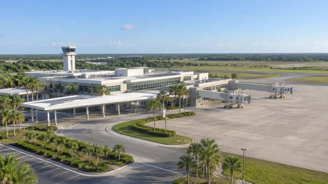
A user selects an area on the map, and GenAnywhere generates a 3D site model from satellite and map data. The scene includes buildings, terrain, water, and vegetation, with terrain matched to the surrounding ground. Building footprints are recognized, heights estimated, and types inferred, so warehouses, homes, and terminal buildings appear as distinct forms. This is context for the land around the field, not an airport design tool. Runway geometry and protected surfaces come from the airport's own drawings and should be handled by the people responsible for them.
3.2 What can a planner move or replace in the scene?
Individual buildings can be replaced, moved, rotated, or resized, and their heights and types adjusted. A planner can test a taller warehouse, remove a shed to open a view, or shift a proposed building a block closer to the field. Layers for buildings, terrain, and vegetation can be previewed separately, which helps when the question is about sightlines rather than footprints. These edits are sketches for discussion. They are not approvals, and they should never be presented as such.
Keep a written note beside each test so a viewer knows which forms are existing and which are invented for the discussion. That small label prevents a rendering from being quoted later as a proposal that was formally reviewed.
4 Comparing two zoning envelopes
4.1 How should a team stage the comparison?
Use one base scene and one camera position for both envelopes. Show the current condition, then envelope A, then envelope B, returning to the same viewpoint each time. Keep the building types and heights consistent so the audience compares the zoning rule rather than the rendering style. If one option gets a dramatic sunset view and the other a flat overhead, the comparison is no longer about land use.
4.2 What should the review leave out?
Leave out noise contours, traffic counts, and airspace analysis unless specialists have produced them. A visual scene can suggest that a project is quiet or busy, and that suggestion can mislead a public meeting. Keep the review focused on what the scene can show: massing, proximity, access, and the visual relationship between the airport and its neighbors. The rest belongs in separate studies with their own authors.
Reviewers should also name the baseline. Existing conditions are the reference against which any rezoning is judged, and a scene that quietly cleans them up makes the change look smaller. Keep the baseline visible in every comparison, including the awkward warehouse and the unpaved shoulder.
5 The line between a sketch and an airspace study
5.1 Which questions belong to aviation specialists?
Obstacle limitation surfaces, approach paths, wildlife hazard, and noise modeling are specialist work. They depend on survey data, flight procedures, and regulatory methods that a site scene does not contain. A planner who needs those answers should commission them and keep the visual model in a supporting role. The scene can help explain a specialist's finding to the public. It cannot produce the finding.
5.2 What are the warning signs of overreach?
Watch for phrases like compatible with all approach surfaces, or a model presented as proof that a height is safe. Watch for a rendering that omits a nearby structure because it was inconvenient. An honest review states its sources, shows the edges of the study area, and names the questions it cannot answer. If a slide implies a regulatory conclusion, take it out.
6 Bringing the scene to a public workshop
6.1 How do you present without implying approval?
Open with what the scene is: a map-based model of existing conditions plus a proposed massing test. Say who built it and when. Then show the same view with and without the proposal, and invite people to point out what the model got wrong. A workshop works better when residents are treated as sources of local knowledge rather than an audience for a finished answer.
6.2 What do residents usually ask?
Questions tend to cluster around noise, truck traffic, lights, and the view from a backyard. Some of those can be discussed with the scene, especially the visual ones. Others need data the scene does not hold. A facilitator should be ready to say which is which, and to write down the questions that need a follow-up. Recording them in public builds trust faster than answering them badly on the spot.
6.3 How does the scene get updated?
Name an owner for the scene and note the date of the map data. Update it when the airport layout changes, when a major parcel is built out, or when the zoning map is amended. Keep older versions for the record, labeled with their dates. A scene that quietly drifts away from the current map is worse than an old one that is clearly dated.
Keep a simple log of who changed what and why. When a resident asks why a building disappeared from the model, the log answers the question in a sentence instead of a meeting. That record also protects the team if a decision is challenged months later.
To test a layout around a field near you, open GenAnywhere in a browser and follow the site workflow walkthrough. The FAA airport planning pages describe the planning framework that local reviews sit within.
7 FAQ
FAQ-1 Can the scene show noise contours?
No. Noise contours come from aviation noise modeling, not from a map-based site scene. GenAnywhere can show buildings, terrain, and vegetation around an airport, which helps a discussion about what a proposal would look like. For noise, commission the modeling and present it alongside the scene. Keep the two products separate so the audience knows which one answers which question.
FAQ-2 Does it model runways and approach surfaces?
No. The scene covers the land around the airfield, including buildings, fields, roads, and vegetation. Runway geometry and protected surfaces come from airport drawings and aviation studies. Use the scene to discuss what might be built nearby, and use the airport's own documents for anything that touches aircraft operations. Mixing the two would blur responsibility.
FAQ-3 Can residents view the scene themselves?
Yes, if the team shares it in a browser session or exports views for a handout. A live walkthrough works well at a workshop because people can ask for a different angle. Exported images are better for a mailed notice or a website post. Either way, include the date, the sources, and a short note on what the model does not show.
FAQ-4 How current is the map data?
Map and satellite data update on their own schedules, and a scene reflects the moment it was built. Check the date before using a scene in a hearing, and refresh it if a major parcel has changed. For a long rezoning process, plan a refresh at each major milestone. The date belongs on every slide, not buried in an appendix.
Content and technical notes
This article was prepared by the GenAnywhere team with AI-assisted drafting and human review.
Product features, formats, and availability change as the platform evolves; refer to the official GenAnywhere website for current details.
For technical questions or corrections, contact support@genanywhere.com.
Last reviewed: 2026-11-15.