
Water reuse in Fort Worth: a site review method with GenAnywhere
A way to read land, buffers, and pipeline routes before a reuse project picks a site
Water reuse projects fail on routes more often than on treatment. The plant can be designed, permitted, and funded, and the project still stalls because the pipeline cannot reach the customer without crossing a rail yard, a creek, or a neighborhood that objects. A site review that treats the route as part of the site catches that problem early.
1 What a reuse site review has to establish
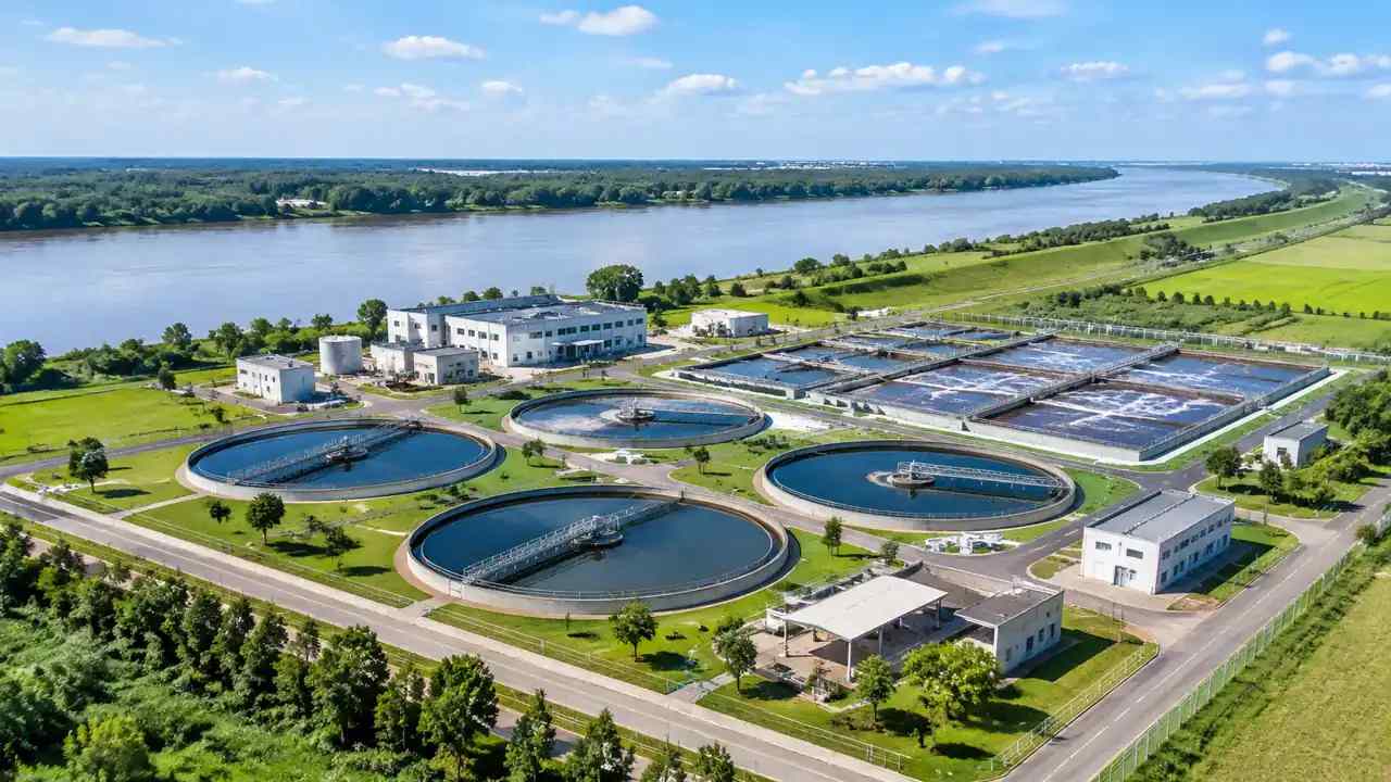
The review has to answer three questions before it answers any design question. How much water is available, where can it be treated, and who can take it. Each answer lives in a different document, and the review should bring them onto one page.
1.1 Start with the water balance, not the building
A reuse project begins with a supply and a demand. The supply is treated effluent from a plant, and the demand is irrigation, industry, or another user. Write both numbers down with their seasonal variation, because a supply that peaks in winter and a demand that peaks in summer will need storage. The building comes later. Starting with it produces a facility that fits the site and does not fit the water, which is a gap that no amount of design polish can close.
1.2 Separate the treatment site from the distribution route
The treatment site and the pipeline route have different constraints and different owners. The site needs buffers, access, and drainage. The route needs rights of way, crossings, and a construction sequence. Put them on separate drawings, then combine them to show where they interact. The combined drawing is where the project risk usually appears, because a route that looks short on a map can be the most expensive part of the job.
2 Screening land for a reuse facility
A reuse facility is an industrial neighbor, and its land needs reflect that. Screening should focus on the conditions that cannot be designed away: distance, grade, and drainage.
2.1 Buffer distance and the nearest neighbor
Treatment equipment produces noise and odor, and both travel further than people expect. Map the nearest homes and the prevailing wind direction, then walk the property line. Note where a fence, a berm, or a row of trees would break a sightline. A buffer that exists on the drawing but not on the ground will be discovered by the neighbors before it is discovered by the design team.
2.2 Access, drainage, and the outfall
A reuse plant needs chemical deliveries, sludge removal, and maintenance access. It also needs a place for stormwater and, in many cases, a connection back to the receiving stream. Map the access road, the drainage pattern, and the outfall together. On flat ground, a small grade change can send runoff toward a neighbor or away from the outfall, and the fix may require a pump station that changes the project budget.
3 Reading the corridor between plant and customer
The corridor is where reuse projects earn or lose their economics. A route that avoids a crossing can save more money than a cheaper treatment process, and the route should be studied before the process is fixed.
3.1 Map the pipeline route before the layout
Draw the route from the plant to the customer before drawing the plant layout. Note the streets, the easements, and the crossings. A route along an existing utility corridor is usually cheaper than a route through private land, even if it is longer, because the corridor already carries an easement and a construction history. The site review should show both options and the parcels each one touches, because the parcels determine the negotiation.
3.2 Where the route crosses a constraint
Every route crosses something: a rail line, a creek, a highway, or a buried line that the record drawings forgot. Mark each crossing and estimate its difficulty in plain terms. A creek crossing may need a permit and a construction window. A rail crossing may need an agreement with the railroad. Those items belong on the schedule, not in a footnote, because they set the earliest date the customer can receive water.
4 Comparing reuse options in public
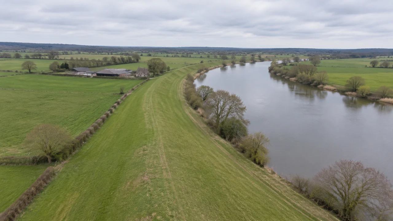
Reuse projects invite public debate, and the debate is usually about the end use rather than the treatment. A review that shows the options clearly can keep the conversation on the decision the city actually faces.
4.1 Irrigation, industry, and indirect potable
Irrigation reuse serves parks and golf courses and usually needs less treatment than potable reuse. Industrial reuse serves a specific customer and depends on that customer's water quality needs. Indirect potable reuse returns water to a source and involves the most public scrutiny. Each option has a different route, a different treatment train, and a different public conversation. Comparing them on one page helps a council see why the choice is not interchangeable.
4.2 What the public meeting needs to see
Show the route, the plant site, and the end use on one map. Then show what the project does not include, such as a new reservoir or a change to the drinking water plant. Residents often assume a reuse project includes more than it does, and those assumptions drive opposition. A clear boundary on the drawing reduces the room for speculation, and it gives the project team a place to point when a rumor outruns the facts.
5 A 3D site model in a reuse review
A site model helps a city show a facility in its setting. It is useful for buffers, access, and the route, and it is not a treatment design.
5.1 What GenAnywhere generates
GenAnywhere builds a site from map and satellite data. It recognizes building footprints, estimates heights, and infers building types, and it reads the surrounding vegetation. Buildings, terrain, water, and vegetation are separate layers for preview and editing. A building can be replaced, moved, or rotated, and its height and type adjusted. The scene exports as a GLB file for downstream 3D, BIM, GIS, or game engine work, and exports carry a perpetual commercial license with limits on resale and AI training.
5.2 Limits to state plainly
The model does not size treatment trains, model water quality, or calculate pipeline hydraulics. It does not know easements or property lines beyond what the imagery shows. Heights and footprints are estimates, and terrain is generalized. State those limits in the memo. A review that presents a model as a design will face engineering questions it cannot answer, and the project loses credibility for a reason that was avoidable.
6 A review memo that fits a city work session
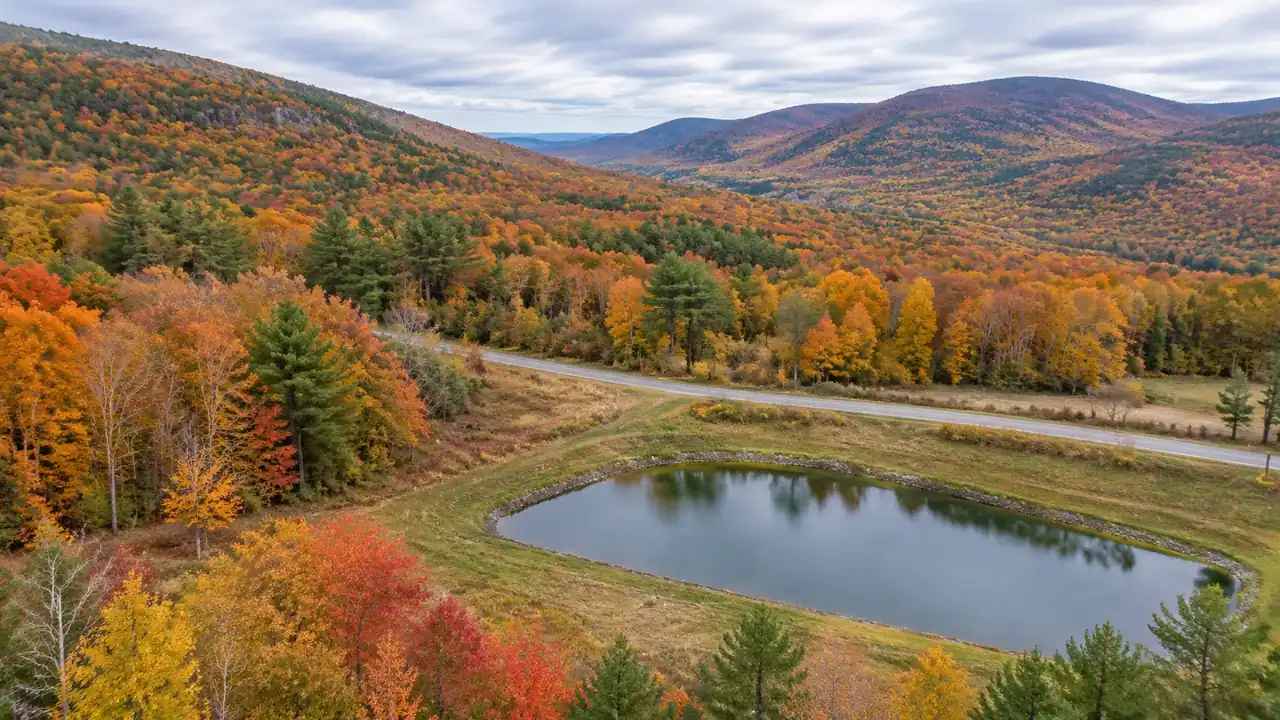
A council work session gives a project twenty minutes. The memo should fit that window and leave the council with one decision.
6.1 The six facts
List supply, demand, plant site, route length, crossings, and the earliest delivery date. Six facts are enough to frame the decision, and each one can be sourced. If a fact is unknown, write unknown and name the owner. A memo that admits a gap is more useful than one that fills the gap with an assumption.
6.2 The two options
Show two options, not five. One option should be the lower-cost route with the harder crossing. The other should be the longer route with the easier crossing. Those two capture the real tradeoff in most reuse projects, and they give the council a decision it can make.
6.3 The question for council
End with the question: authorize the route study, or defer until the customer agreement is signed. Both answers are legitimate, and both have a next step. The memo should not pretend that one answer is obvious. It should make the consequence of each answer clear enough that the council can choose, and it should name the date by which the choice is needed.
To test a facility site and its route in context, open the GenAnywhere app and select the area. The workflow overview shows how the scene is built before export.
7 FAQ
FAQ-1 Can GenAnywhere model water quality or treatment capacity?
No. GenAnywhere generates a site model from map and satellite data. Water quality, treatment capacity, and hydraulic modeling belong to engineering studies and to the regulatory framework described by the US Environmental Protection Agency. The model contributes site context: where the plant sits, how the buffer looks, and how the route relates to the surrounding land. Keep the engineering separate and cite it in the memo.
FAQ-2 What should a city check before choosing a reuse site?
Check the buffer to the nearest homes, the access road, the drainage pattern, and the outfall. Confirm that the route to the customer can be built without an unmanageable crossing. Check the floodplain status and the utility conflicts. Each item affects cost and schedule, and each is easier to check before design. A site that fails one of these may still work, though the fix changes the project budget.
FAQ-3 How does a 3D model help a reuse review?
It shows the plant in its setting, so the council and the neighbors can see the buffer, the access, and the route. That view makes the tradeoffs concrete: a shorter route with a harder crossing, a longer route with an easier one. It also helps the project team test a building placement before the design is fixed. The model supports the spatial decision and does not replace the engineering.
FAQ-4 What is the biggest risk in a reuse pipeline route?
Crossings and easements are the usual risk. A route that crosses a rail line, a highway, or a creek needs an agreement that can take longer than the pipeline construction. Easements through private land need willing sellers, and one holdout can move the route. The review should mark every crossing and every parcel the route touches, then rank the route by how many agreements it needs.
Content and technical notes
This article was prepared by the GenAnywhere team with AI-assisted drafting and human review.
Product features, formats, and availability change as the platform evolves; refer to the official GenAnywhere website for current details.
For technical questions or corrections, contact support@genanywhere.com.
Last reviewed: 2026-11-17.