
Railway corridor scenes: how GenAnywhere starts a site
A corridor scene starts with an area drawn along the line, generates the ground and buildings around it, and leaves the track itself to the railway model.
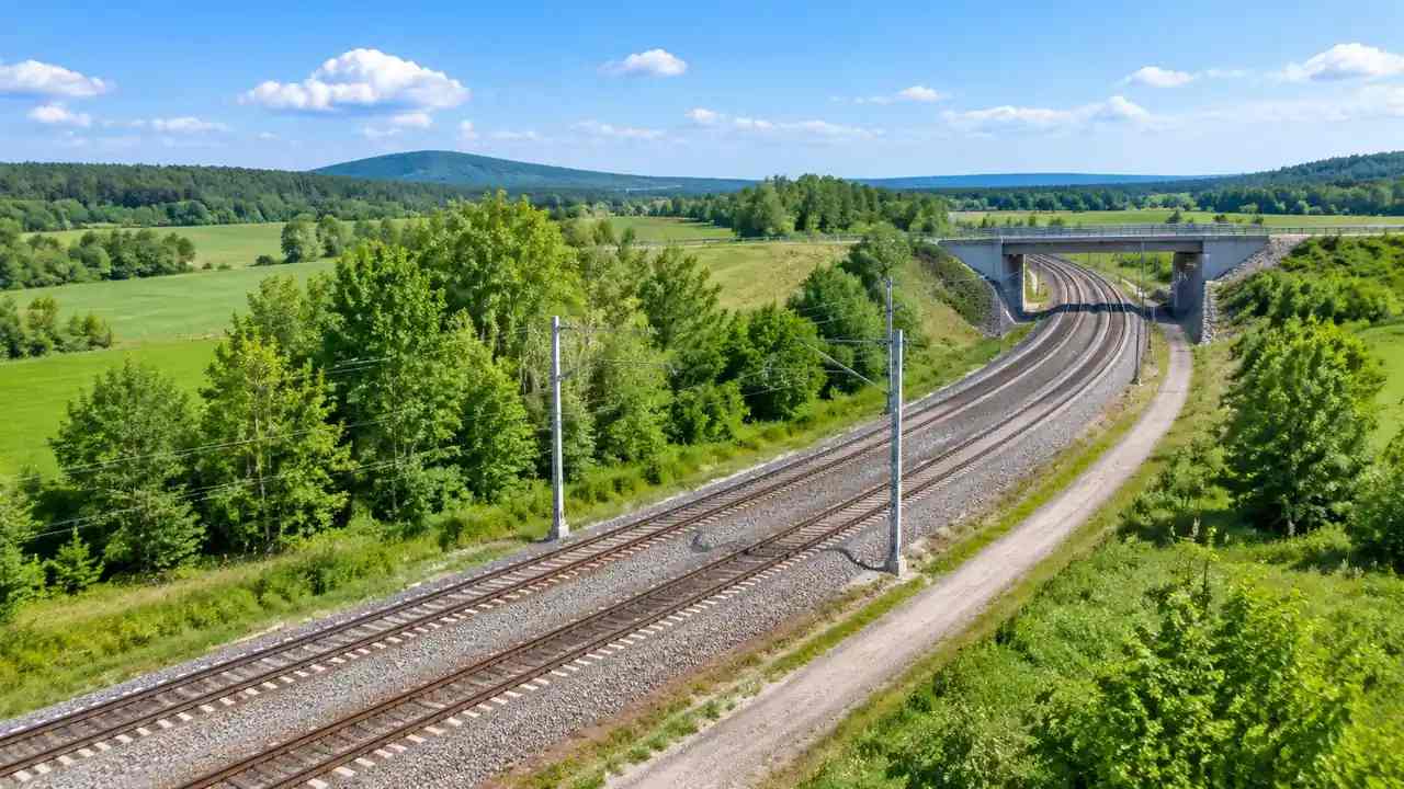
Starting a railway corridor scene in GenAnywhere takes one decision and one action: choose the stretch of line the review concerns, then generate. The scene comes back with terrain, water, vegetation and building masses along that stretch, including the stations and sheds the imagery shows. Track, signalling, overhead line equipment and earthworks design are not generated. They belong to the railway model and arrive in the downstream tool. The corridor is the part that has to be right before anything is added.
1 Starting the scene
1.1 The opening decision
The extent is the decision that shapes everything after it. A corridor two hundred metres wide shows the line and its immediate surroundings; one two kilometres wide brings in the village, the river and the industrial estate that the review will mention. There is no correct width, just a width that matches the question. Draw the corridor around the features the discussion needs, and write the boundary down so the next scene can match it. A corridor that wanders between scenes makes comparison impossible.
1.2 What arrives with the corridor
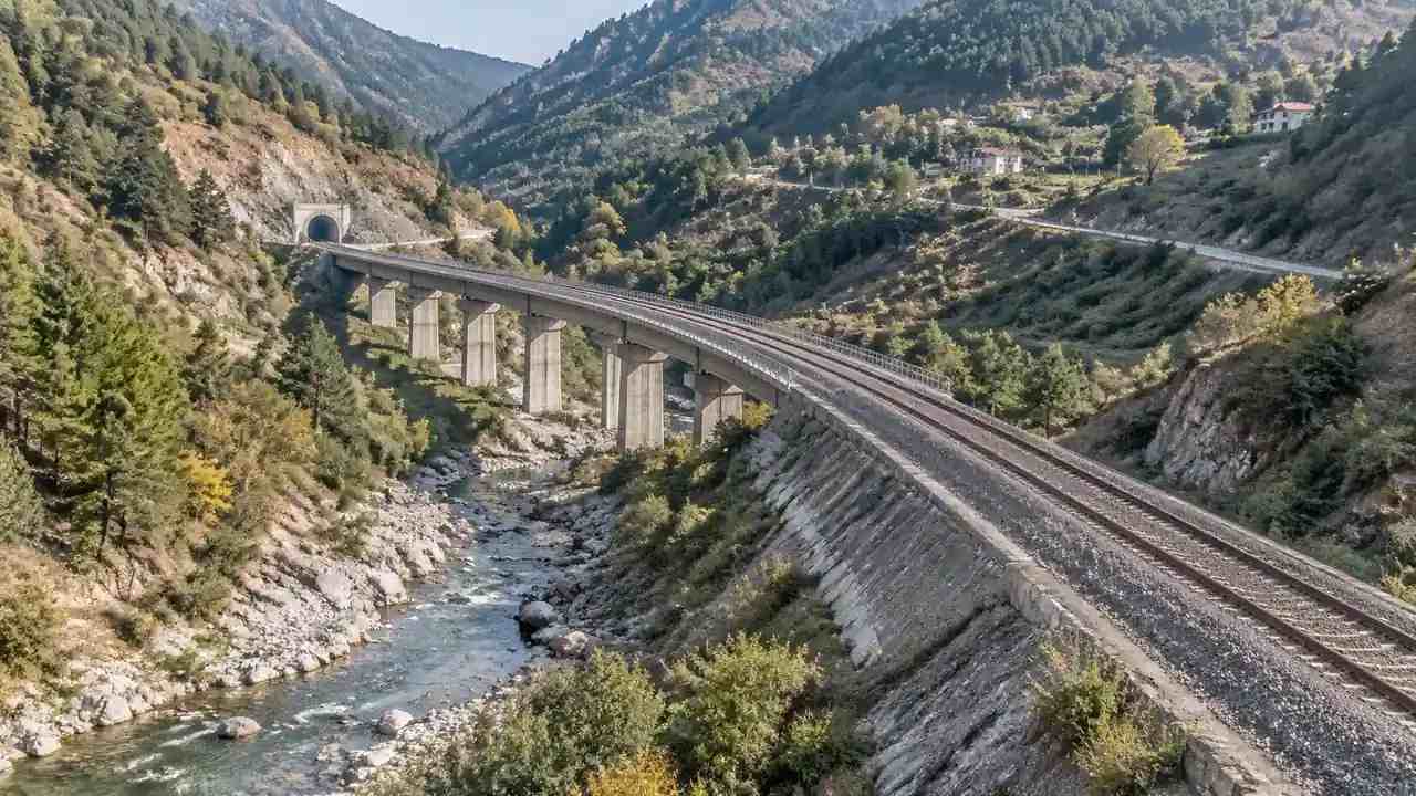
Generation returns the terrain surface, open water where the imagery shows it, vegetation coverage and building masses. Along a railway that usually means embankments read as slopes, cuttings read as ground falling away, and stations read as clusters of buildings. Small lineside structures may or may not appear, depending on their size and the imagery. The scene is a reading of the map, not a record of the infrastructure register. If a structure matters to the review, check that it appears before the export.
2 Reading the corridor
2.1 Embankments, cuttings and level ground
Railways are built on ground that has been worked, and the scene shows the result as terrain rather than as engineering. A raised formation reads as a ridge, a cutting reads as a channel, and a level section reads as flat ground with little to say. That is enough to explain why a line runs where it does. It is not enough to discuss stability, drainage or the condition of a slope, which need their own investigation. Point that out early, before the audience starts reading stability into a slope. The surface shows shape, and shape is where the discussion starts.
2.2 Stations, sheds and lineside buildings
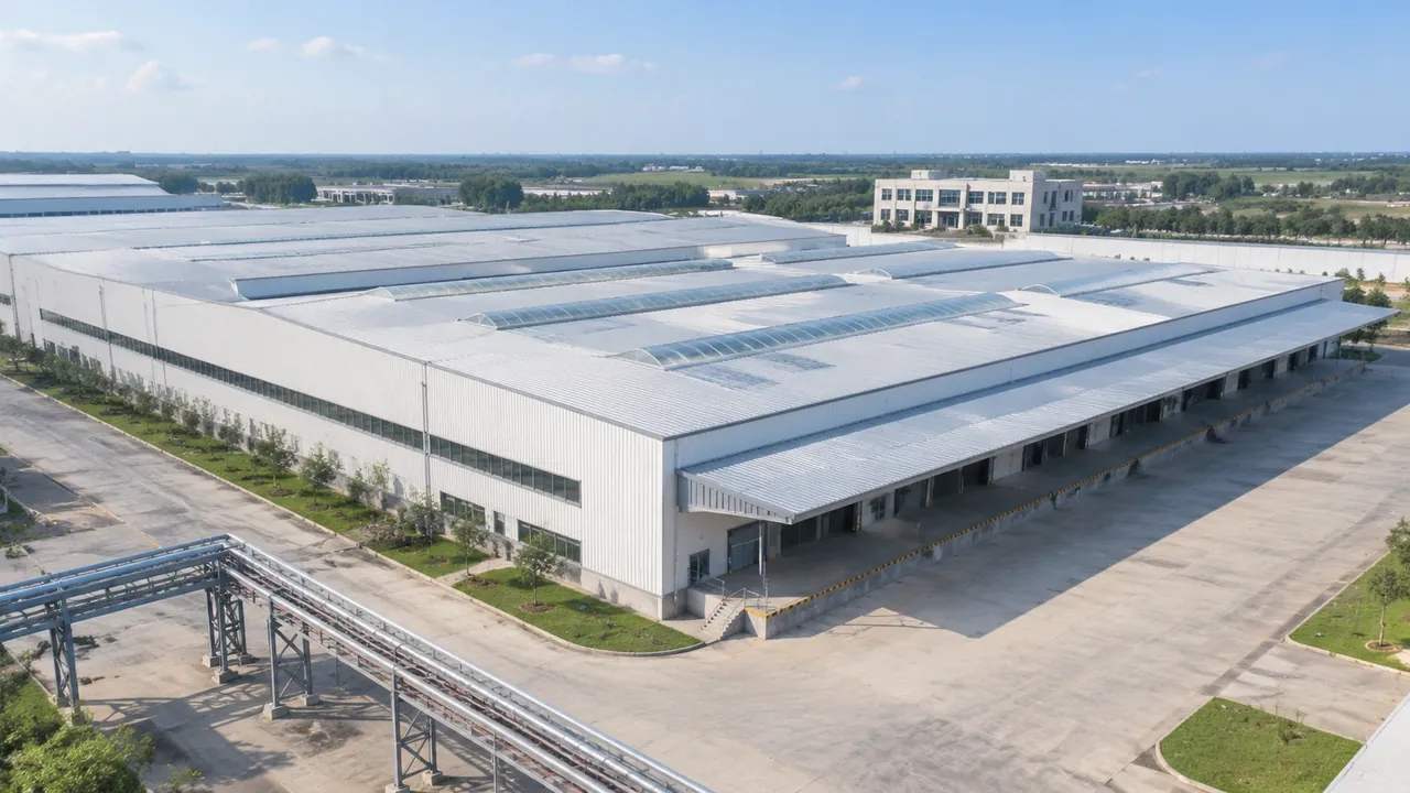
Station buildings, goods sheds, signal boxes and maintenance depots arrive as masses with footprints and estimated heights. Their positions along the corridor are often the most useful thing in the scene, because they anchor a discussion about where a stop, a depot or a closure would sit. Heights are estimates, so a two storey building may read as one. Use the masses for arrangement and the drawings for dimension. A station canopy may be missing entirely, because it is thin enough to fall below the level of the imagery.
3 What the corridor does not carry
3.1 Track, signalling and overhead line
The permanent way, switches, signals, overhead line equipment, masts and cable routes are not generated. They come from the railway design model and are placed on the exported corridor. That separation is deliberate, because track geometry changes on a different rhythm from the landscape around it. A corridor scene without track looks like a valley with buildings, and that is what it is until the railway model is added. Say that in the opening minute and the audience stops looking for rails.
3.2 Operating and safety studies
Nothing in the scene answers a timetabling, capacity, signalling or safety question. Clearance to structures, sighting, platform dimensions and escape routes are engineering and operating matters with standards behind them. Bodies such as the International Union of Railways publish material on railway systems that sits well beyond a site scene. Use the scene to agree on where the question applies, then take the question to the people who can answer it. Keep the boundary visible in the notes, because the temptation to over-read a corridor image is strong.
4 Shaping a long corridor
4.1 Splitting the route
A corridor of a hundred kilometres is a map, not a review. Split it into the stretches that carry decisions: a junction, a station area, a river crossing, a section through a town. Each stretch gets its own scene, its own extent and its own note. Doing this keeps files light and keeps every review at a scale where the buildings are readable. It also makes the set reusable when a different question comes up later. Name each stretch after the feature that defines it rather than after a chainage.
4.2 Edits and layers
Buildings can be replaced, moved, rotated, re-typed and re-heighted, which covers a demolished goods shed, a new depot or a station building that has changed since the imagery. Terrain and water follow the source data. Terrain, water, vegetation and buildings can be toggled as layers, so a corridor can be reviewed with or without the settlement around it. Record the edits and the layer state, because a corridor scene is usually opened by more than one team. A short log is enough, and it keeps the second review consistent with the opening one.
5 Handing the corridor on
5.1 Preview and export
Preview the corridor before export and travel along it rather than around it. A view along the line is the view a railway audience expects, and it shows the sequence of embankment, station and bridge in the order they occur. When the scene reads correctly, export a GLB. The platform overview lists what the scene contains, which answers the track question before it is asked. Export from the preview state so the file matches what the team approved, and keep that version until the next one exists.
5.2 Notes and naming
Name the file by route, stretch and date, and add the imagery date in the note. List the buildings you changed and the layers you used. Say plainly that the track is not in the file and name the model that holds it. A corridor review usually includes people from operations, engineering and the local authority, and one clear note serves all three better than three different explanations. Send the note with the file, not in a separate message that gets lost.
Open the GenAnywhere app and start a railway corridor
6 Before you start
6.1 Corridor width
Decide the width from the audience rather than from habit. An engineering review of a junction needs the junction and its approaches; a community session needs the line, the station and the houses that face it. A wider corridor is not automatically better, because detail per building drops as the extent grows. Choose the width that puts the decision inside the frame. If two features compete for the frame, generate two scenes and compare them side by side.
6.2 Where the railway model comes from
Agree which model supplies the track, the signalling and the structures, and who will place them on the exported corridor. That agreement decides whether the scene is a backdrop or the base of a combined model. It also decides who checks the alignment against the ground. Settle it before the scene is built, when changing the plan is still cheap. Write down who places the track, because that answer varies between projects.
6.3 Next step
Name the decision and the owner. A route option, a station upgrade, a level crossing discussion and a depot siting all use a corridor scene, and each needs a different stretch. If nobody can name the decision, the corridor will be generated twice and used once. A short conversation at the start prevents that. A corridor with a named decision behind it gets used, and one without it gets archived.
7 FAQ
FAQ-1 Is the track generated?
No. Track, switches, signalling and overhead line equipment are railway design assets. The scene holds terrain, water, vegetation and building masses along the corridor. The railway model is placed on that ground downstream, where its geometry can be checked against the design rather than against a satellite image. Plan that step before the review. If the session needs rails, arrange for the model before people sit down.
FAQ-2 Can I check structure clearance?
Not from the scene. Clearance depends on track position, structure gauge, cant and the standards that apply, and none of that is in the generated file. The scene shows where a building sits near the line, which is a useful prompt. The measurement and the decision belong in the railway model with the engineers who own it. A scene can show a building close to the line, and that is where the engineering question begins.
FAQ-3 How long a corridor can I cover?
Long enough to include the decision, and short enough that the buildings stay readable. A junction or a station area usually works at a few kilometres; a route comparison works better as several scenes than as one long strip. Very long corridors also produce heavier files that are slower to open on a laptop. Split rather than stretch. A corridor that covers everything at low detail answers almost nothing at the detail people need.
FAQ-4 Are stations included?
Station buildings appear as masses where the imagery shows them, along with goods sheds and depots. Platforms, canopies, track and signage are not generated. That means a station review can use the scene for the building and its setting, and the railway model for the platform and track layout. Keep the two sources labelled in the notes. Say which of the two the audience is looking at, every time the image is shown.
See how a generated corridor moves into a GLB workflow
Content and technical notes
This article was prepared by the GenAnywhere team with AI-assisted drafting and human review.
Product features, formats, and availability change as the platform evolves; refer to the official GenAnywhere website for current details.
For technical questions or corrections, contact support@genanywhere.com.
Last reviewed: 2026-11-13.