
Heritage planning: what GenAnywhere shows in the Padang case
Reading a coastal heritage town in 3D, and knowing what the scene cannot hold.
The Padang case, read as a planning scenario rather than a documented project, asks a familiar question: how much of a historic coastal town can a 3D scene carry before the answer has to come from archives and conservation professionals? A generated context scene can show urban fabric, massing, street edges, topography and the water nearby. It cannot date a facade, confirm a boundary or decide what should be protected.
1 Set the heritage question
1.1 What is the Padang case asking?
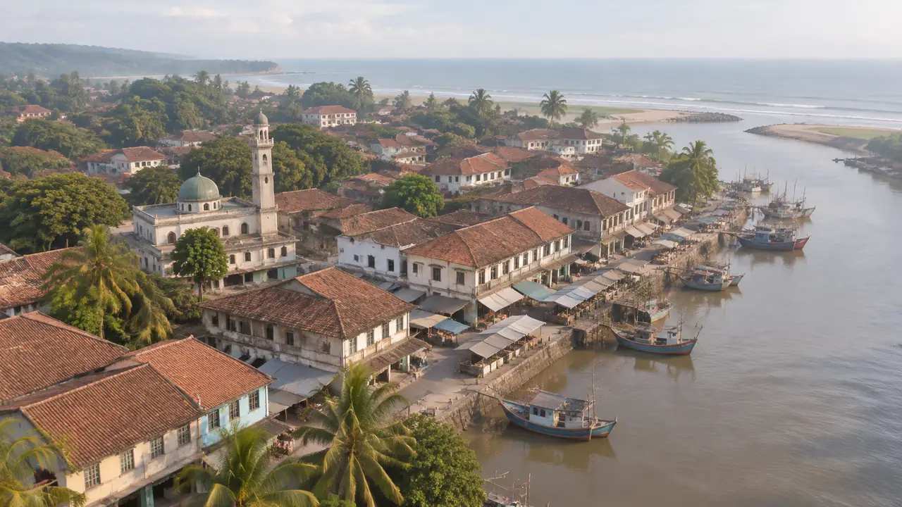
As used here, the case is a scenario: a coastal town with a historic core, a working market, places of worship and a waterfront that has changed several times. A team wants to know whether a new use can be added without losing the fabric that gives the town its character. The review has to show what exists at street scale before anyone argues about what may change.
Padang sits on the west coast of Sumatra, and its old centre grew around a river mouth, a market and streets that still follow an early layout. Seismic and tsunami exposure sit in the background of any conservation argument there, which makes ground conditions and the waterfront part of the heritage question rather than a separate engineering topic.
1.2 Which decisions stay with heritage professionals?
Boundary changes, demolition, adaptive reuse and signage belong to conservation professionals, the local authority and the community that uses the place. A 3D scene can inform those decisions; it cannot make them. Confusing the two is the usual failure in heritage visualization, where a convincing image starts to read as an approval.
Keep the question narrow enough to answer. Whether one block can take a fourth storey is workable; how the old town should develop is a research programme. If the team cannot agree on the question, the scene will end up illustrating whichever position is loudest in the room.
2 Read the urban fabric in the scene
2.1 What does the massing show about the town?
Massing is what a generated scene reads most clearly. A row of two-storey shophouses beside a five-storey block shows where the scale breaks, and a long blank side wall shows where a street lost its frontage. From above, the roofscape carries the pattern of plots: ridges running back from the street, courtyards between them, newer flat roofs interrupting the line.
Read the roofscape against the street plan. Where ridge lines run parallel to the street and plots are narrow, the town probably grew as a row of shophouses. Where a large flat roof interrupts the pattern, several plots were assembled at some point. Neither observation dates a building, and both point to where the archive should be checked.
2.2 Where do street edges and plot rhythm appear?
Street edges matter more than individual landmarks in a town of this size. Look at how buildings meet the pavement, where arcades run, where a shopfront steps back, and where a newer building turns away from the road. A scene shows alignment and gaps well. Whether a gap is a historic lane or a recent car park needs the archive, and the two look identical from above.
3 Look at the ground and the water
3.1 How does the historic core meet the river and the sea?
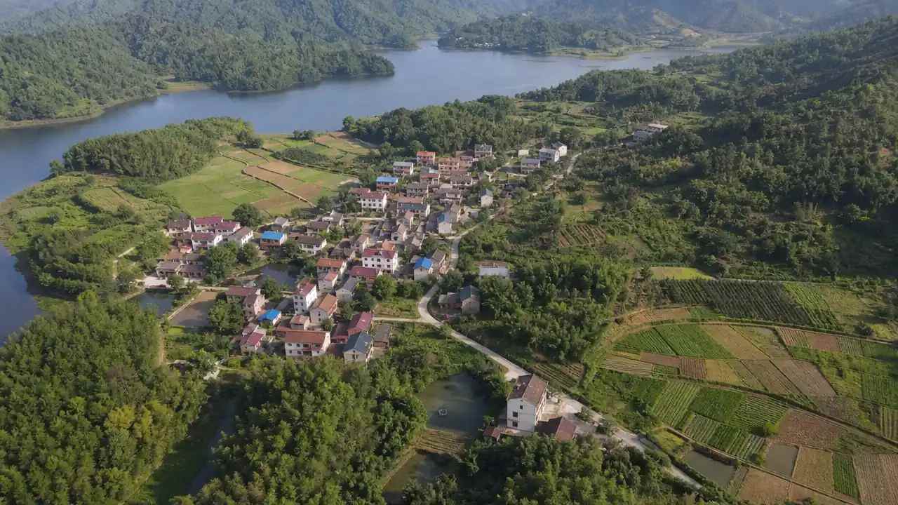
The relationship with water is part of the heritage. A town that grew around a river mouth has quays, bridges and streets shaped by trade and by flooding. Check where the built edge meets the bank, how the ground rises away from the river, and which lanes run down to the water. Any proposal near that edge should be tested against the routes people use today, not the ones drawn a century ago.
Water also brings the question of time. Quays fall out of use, bridges move, and a street that once met the river may now face a wall. Compare the current edge with the earliest map the archive holds and mark where the two disagree. Those differences show which parts of the waterfront are recent work.
3.2 What does a ground-level view hide on sloping land?
A pavement view flattens slope. A plot can look level with its neighbour while the rear yard sits a metre higher, and a lane can appear to run uphill when it actually steps. Contours, retaining walls and stepped entrances tell the story better than a photograph taken from the street. Read the terrain layer against the building layer and note where they disagree before drawing conclusions about access.
4 Separate the scene from the archive
4.1 Which questions need drawings, photographs or oral history?
Dating, fabric, alterations and significance live in drawings, photographs, oral history and title records, and none of them arrive with satellite imagery. A facade may have been rebuilt after an earlier earthquake, and a courtyard may have changed use twice within living memory. Those changes decide what is worth keeping, and they come from records and from the people who remember them.
UNESCO's World Heritage Centre publishes material on how heritage values are identified and documented, and much of that method applies to a town that holds no listing at all. Read it as a description of the questions to ask, then look for the local equivalent in the town's own records.
4.2 When should a conservation professional take over?
Bring in a conservation professional when the question turns to significance, fabric, intervention or consent. That judgment differs from reading a scene, because it depends on training, site inspection and the local regulatory framework. The review's job is to arrive at that conversation with clear questions and a shared picture of the site.
5 Put GenAnywhere to work on a heritage area
5.1 What can be generated for a heritage area?
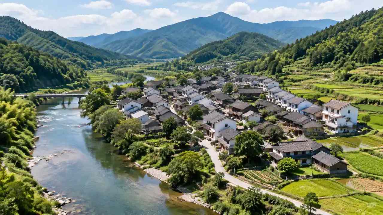
For a heritage area, GenAnywhere uses AI 3D generation to build an editable model of the selected area from satellite and map data. Footprints, estimated heights and inferred building types arrive as separate layers for buildings, terrain, water and vegetation. That gives an early view of massing, street edges and ground before any survey is commissioned. Single buildings can be replaced, moved or re-scaled to test how a change reads in the street.
5.2 Where do the limits show up?
A GenAnywhere scene holds context at the scale of a neighbourhood block. It does not date a building, describe its fabric or fix a heritage boundary, and its heights come from imagery estimation rather than measurement. Roof form and detail are simplified, so a scene is a poor place to judge joinery, tiles or paintwork. Treat it as the frame around a conservation argument.
Export matters when a conservation architect works in a 3D modelling tool and the planning team works in GIS. A general GLB file can move between them, and the layer names can be checked after import. Test one file in the receiving tool before the review, then note which layers arrived.
Build a heritage context scene in the GenAnywhere app and bring the questions, not the answers, to the next review.
6 Close the heritage review
6.1 What should the review hand over?
The scene, the imagery date, the questions it answered and the ones it could not. Add a list of sources consulted and the people who should be asked next. A heritage review that ends with open questions is more useful than one that ends with a confident picture and no notes.
6.2 How should a heritage scene be labelled?
Label every view with the area, the date and what it is meant to show. Keep archive photographs separate from generated geometry so nobody mistakes one for the other. If the scene leaves the team as a GLB file, say that it is a working file rather than a record of the site, and check the terms in the GenAnywhere authorization statement.
6.3 When is a site visit unavoidable?
Walk the site when the question depends on texture, condition or the way a street feels at eye level. A visit also settles the small things a scene cannot carry: a step at a doorway, a wall built from reused stone, a lane that drains badly. Plan the visit around the questions the review could not close, and take the printed views with you. A photograph taken from the same spot as a scene view makes the later comparison easy.
Walk through the steps from map selection to export in the GenAnywhere workflow overview.
7 FAQ
FAQ-1 Can a generated scene date a building?
No. The scene shows massing, height and arrangement at the scale of a block, and dating depends on fabric, construction details and documents. A building rebuilt after an earlier earthquake can occupy the same footprint as the one it replaced, and the geometry will not show the difference. Use the scene to locate the question, then send someone to look at the evidence.
FAQ-2 What area should a heritage scene cover?
One block or one street edge usually works better than the whole town. A tight area lets the massing, the gaps and the ground be read at a size people can discuss, while a town-wide scene turns every building into a shape. Widen the boundary when a view, a waterfront edge or a landmark depends on what sits outside it.
FAQ-3 Can the scene be used in a public consultation?
Yes, as a starting point, provided it is labelled as a context study rather than a record of existing conditions. Residents will notice errors that a team misses, and their corrections are useful. Keep the imagery date visible and note that the geometry is estimated, so the conversation stays on the town rather than on the picture.
FAQ-4 What happens when the scene and the archive disagree?
Trust the archive for anything that concerns fabric, date or significance, and correct the scene where the geometry can be adjusted. Record the correction with its source so the next team does not repeat the check. Where the archive is silent, leave the question open instead of filling it with a plausible shape. A note reading "unresolved" is a result, and it tells the next team where to spend a morning in the records office.
Content and technical notes
This article was prepared by the GenAnywhere team with AI-assisted drafting and human review.
Product features, formats, and availability change as the platform evolves; refer to the official GenAnywhere website for current details.
For technical questions or corrections, contact support@genanywhere.com.
Last reviewed: 2026-11-06.