
No overpass model? How GenAnywhere builds from a boundary
Without a bridge model, the boundary sets the site; the deck, piers and parapets are added from the design side.
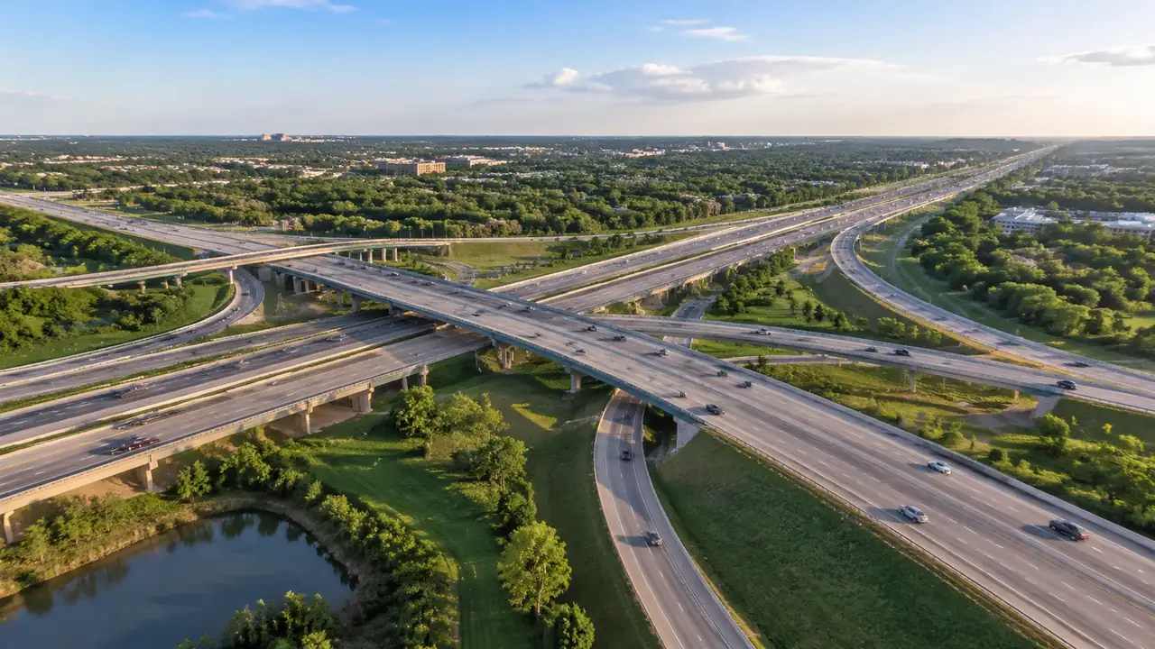
If you have no overpass model, you draw a boundary on the map and GenAnywhere builds the site inside it: terrain, water, vegetation and building masses. The boundary is the input that replaces the missing asset, because it tells the platform which patch of ground the review is about. The overpass itself is not generated and never appears on its own. It arrives later as a design model, placed over the ground in a downstream tool, which is the same pattern used for tanks, cranes and trains.
1 The direct answer
1.1 What the boundary does
A boundary is a shape on the map, and the platform fills it with a generated site. That is the whole mechanism, and it works with or without a model of the structure that will occupy the space. Draw the boundary around the ground the crossing affects and the site is ready to preview; draw it around nothing useful and you get a neat scene of a field. The shape decides what the meeting will be able to talk about, so it deserves a minute of thought before anyone starts drawing.
1.2 What the scene will hold
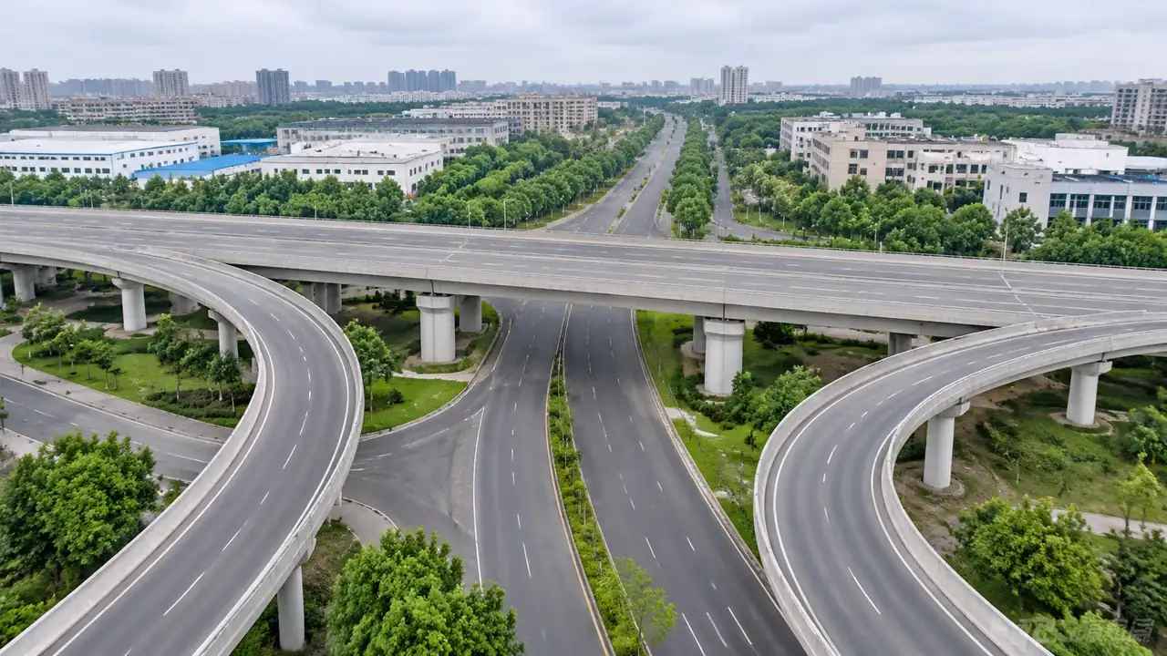
Inside the boundary you get editable terrain, water bodies, vegetation and buildings, with footprints traced and heights estimated from the imagery. You do not get a bridge, a viaduct, a gantry or a pier, because those are structures from the design side. The distinction is easy to state and easy to forget once a scene looks convincing. Put it in the handover note, and the receiving team will not spend the meeting looking for a deck that was never there, or asking why the model looks incomplete.
2 Drawing a boundary that fits a crossing
2.1 Extent along the route
An overpass is long and thin, so the boundary has to follow the ground it touches rather than a tidy square. Include the length where the structure meets the ground at each end, plus the water or lower ground it crosses, and nothing beyond that. A boundary that stops at the abutments leaves the review with no approaches, which is where most of the local objections sit. Give the ends some margin, then trim them if the preview looks empty or the scene starts to feel slow to load.
2.2 Why a boundary beats a point
A point tells the platform where to look and gives it no idea how much ground to build. A boundary answers the extent question directly, so the scene arrives at a size you chose rather than a size the software guessed. On a corridor study, that difference decides whether the meeting sees a kilometre of context or a hundred metres of nothing much. Choose a shape and a size for the question being asked, and expect to draw it twice, because the preview usually shows one edge that should have been further out.
3 The ground under and around a crossing
3.1 Terrain and water below
The generated terrain is the part that carries the review, because an overpass is mostly a relationship between a structure and the ground it clears. You can see the fall of the bank, the width of the water and the shape of the cutting at each end without leaving the preview. Water bodies appear where the imagery shows them, at the resolution of that imagery. If the crossing is over a navigation channel, the scene shows the visible width and says nothing about depths or water levels.
3.2 Buildings and planting at the approaches
Buildings near a crossing are usually part of the argument: a workshop under the approach, a house at the corner, a shed that will lose its light. The platform traces those footprints and estimates heights, which is enough to show what the structure would stand next to. Vegetation comes through as objects, so a tree belt reads as something with a height rather than a green smear on the ground. Both can be edited when the site has changed since the imagery date, and the edits are worth naming in the note that travels with the file.
4 Where the overpass comes from
4.1 A design model or a library asset
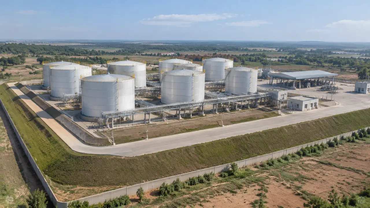
Deck, piers, bearings, parapets and the alignment that ties them together come from the engineering team, usually with a stated purpose for each level of detail. For an early review, a simplified mass from an asset library is often enough to show the scale of the thing against the bank. For a coordination review, the detailed model arrives with its own coordinate system, its own units and its own revision history. Neither is produced by the platform, so asking the platform for one wastes a session that could be spent on the ground.
4.2 Checks that stay in the design tool
Clearance, structural behaviour, drainage of the deck and the geometry of the alignment belong to the design tools and to the engineers who run them. The scene is a setting for those results, not a place to calculate them. Put a bridge mass into the scene and you can see how it reads from the riverbank; that is a communication gain rather than a verification. Saying which is which keeps a useful picture from being mistaken for a check, and it saves an awkward correction later.
5 Reviewing with the deck missing
5.1 What the scene still explains
Even with no bridge in it, the scene explains why the crossing sits where it does: the narrow point of the river, the low bank on one side, the buildings the approach would pass. Reviewers can argue about the setting before they argue about the structure, and that order tends to produce better decisions. Hold the bridge model back for the second half of the meeting if you want the setting discussed on its own terms. The sequence is a choice, and it is worth making on purpose rather than by accident.
5.2 Staging the conversation
Show the ground at the start, then the boundary, then the design mass placed over it, in that order. Each step adds a layer of commitment, and the audience can see which parts are fixed by the site and which are choices. When the bridge appears, the question changes from whether the crossing belongs there to how it should be shaped. That shift is the reason to build the site before the asset is ready, rather than waiting for a complete model and losing a week of review time.
6 Limits and handover
6.1 No clearance or structural answer
The scene does not measure clearance, check sight distance, assess scour or rate a structure, and no view of it can be asked to do so. Those answers need survey data, the design model and a qualified engineer who signs the result. If a reviewer asks whether a truck would fit under the deck, the honest reply is that the question belongs to the design model. Keeping that line clear protects the scene from carrying claims it cannot support, and protects the engineer from being quoted out of context.
6.2 The date on the ground
Imagery has a capture date, and a corridor changes: a new warehouse, a cleared copse, a widened channel. Check the date for the area before the review and mention it in the note, so nobody mistakes the scene for a current record. If a change is visible and known, edit the buildings that moved and leave the rest alone. A site model that admits its date is easier to defend than one that quietly implies it is current, especially in a room with people who know the corridor well.
6.3 Export and the missing asset list
The preview can be exported as a GLB for 3D, BIM, GIS and engine workflows, and the file carries the site plus your edits. It does not carry the overpass, so list the missing asset and say which tool will supply the geometry. The export licence is permanent and commercial, with limits on resale and on training models. The site geometry follows open conventions, and the OGC publishes the standards background for that kind of data, which matters once the file has to travel between systems.
Open the GenAnywhere app and trace a crossing boundary
7 FAQ
FAQ-1 Can GenAnywhere model an overpass?
No. The platform generates the site: terrain, water, vegetation and buildings. An overpass is a structure from the design side, supplied as a model or a library asset and combined with the site in a downstream tool. You can still build the scene the review needs without it, because the ground and the bank are what the argument usually turns on, and those are the parts the platform handles.
FAQ-2 How is the boundary defined?
As a shape drawn on the map around the ground the crossing affects. Include the water or lower ground in the middle and a margin at each end where the structure meets the bank. The boundary sets the extent of the generated site, so a boundary that stops at the abutments leaves the review without the approaches where objections usually live. Draw it, check the preview, and adjust before the meeting rather than during it.
FAQ-3 Can I place a bridge model in the scene?
Yes, in a downstream tool. Export the site as a GLB, open it beside the structure model, and align the two on a shared origin and scale. The platform itself does not import or place the bridge, so treat the combination as a separate step with its own check. Do that check before the meeting, not while people are waiting for the view to load.
FAQ-4 What is the file good for without the structure?
For setting, context and scale: the bank, the water, the buildings at the approaches and the vegetation that would change. Those are the parts of a crossing review that drawings explain badly. Use the file to settle where the structure sits in its surroundings, and leave the structural questions to the model that carries them. Name the missing structure in the note so nobody in the room goes hunting for it.
See how a boundary becomes a site ready for design
Content and technical notes
This article was prepared by the GenAnywhere team with AI-assisted drafting and human review.
Product features, formats, and availability change as the platform evolves; refer to the official GenAnywhere website for current details.
For technical questions or corrections, contact support@genanywhere.com.
Last reviewed: 2026-11-13.