
Drone corridor growth: what can GenAnywhere add to site review?
Where ground-level 3D context helps corridor conversations, and where airspace questions still belong to aviation authorities.
A drone corridor is a route with a ground story underneath it. Growth in parcel delivery, inspection flights, and medical transport puts more pressure on launch sites, recovery areas, and the land the route crosses. A three-dimensional site scene adds context for that ground story, while the airspace side stays with the aviation authority. The split is not a limitation to apologize for; it is the reason the ground review can stay useful.
1 What a corridor asks of the ground
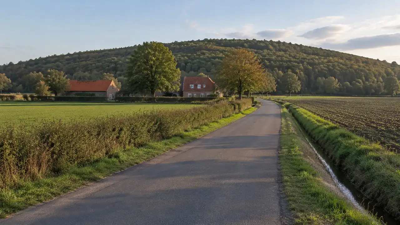
Corridor planning often starts with a line drawn between two points. The line is the easy part. What decides whether a route can work in practice is the ground beneath it: rooftops, trees, roads, water, and the places a vehicle could set down.
1.1 Route segments need local context
A corridor that looks clean at regional scale can pass over a school, a row of mature trees, or a construction crane that appears in imagery. Splitting the route into segments helps. Each segment can be reviewed for what sits below, what rises into the path, and where a ground team could stand. Segment notes also make it easier to compare one corridor against another without losing the detail that matters. Two corridors may share a start point and then diverge over completely different ground, and the segment list is what keeps that difference visible.
1.2 A corridor is more than a line on a map
The line says where a vehicle might travel. The corridor includes the launch pad, the recovery area, the access road for the ground crew, and the properties that sit under the path. A review that ignores those elements can produce a route that works on paper and fails in a neighborhood meeting. Treat the corridor as a strip of land with a route through it, and the questions become more practical.
2 Read the segments in order
Work from the ends inward. Launch and recovery sites anchor the route, and the ground beneath the middle often decides how the public conversation goes.
2.1 Start with launch and recovery sites
A launch site needs flat ground, clear access, and a place for a small ground team to work without blocking a road. With GenAnywhere, a team maps the area around a candidate site, generates an editable 3D scene, and inspects the ground, nearby buildings, and vegetation from several angles. Surfaces that looked level on a map may turn out to sit beside a retaining wall or under a tree canopy. That early read can save a site visit or redirect one before anyone drives out.
2.2 Check the ground beneath the route
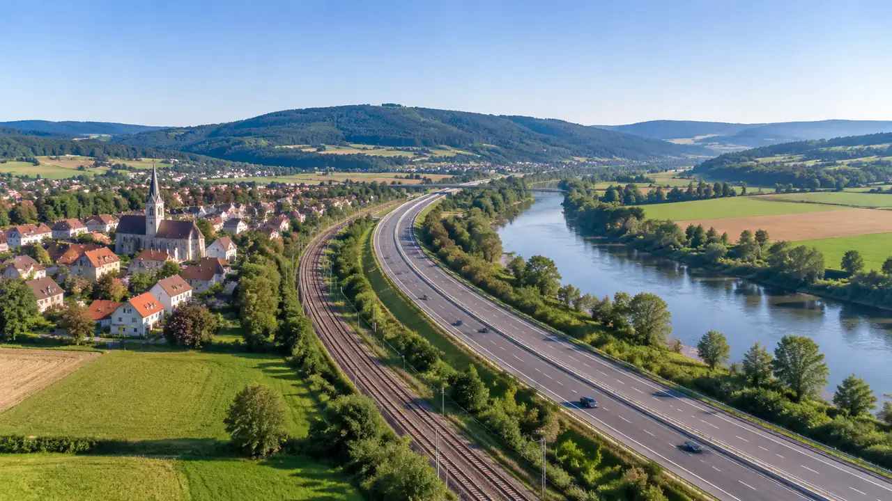
Look at what the route crosses: housing, retail, parks, water, rail, and roads with regular traffic. These features shape how a corridor is described to residents and how a ground team plans its access. A 3D view will not tell you whether a rooftop has equipment or a yard has dogs, but it shows the pattern of land use along the route. That pattern is often enough to rank segments for a closer look. A segment that crosses three land uses usually needs three different conversations.
3 Compare corridor options on equal terms
Two corridors can be compared fairly when they are shown the same way. Equal treatment means the same view height, the same area around each segment, and the same note about what the imagery does not show.
3.1 Use consistent views along the route
Pick a viewing height and a direction for each segment and reuse them across options. Consistency exposes differences in tree cover, building height, and open ground that a set of artful images would hide. It also makes a review faster to read, because a reviewer learns the pattern once and can scan the rest. When an option looks better, the reason is visible in the scene.
3.2 Note the obstacles imagery can miss
Mapped imagery lags the ground. Power lines, antennas, temporary cranes, and new trees may not appear, and a scene that ignores them can flatter a route. Keep a short list of features that must be confirmed on site. The list does not weaken the review; it shows where the scene ends and where a field check begins. Ground crews and aviation reviewers will ask for that distinction anyway. Keep the list with the segment notes so it travels with the view.

4 Where the scene helps and where it stops
A 3D site scene is useful for the ground conversation around a corridor. It is not an airspace tool, and it should not be presented as one. The split keeps both discussions honest.
4.1 Ground context for community conversations
Residents ask what a corridor means for their street, their park, and their mornings. A 3D scene gives those questions a visible form. GenAnywhere builds buildings, terrain, water, and vegetation as separate layers that can be turned on or off, so a facilitator can show a rooftop cluster or a park edge without a wall of technical detail. The scene can be adjusted during the meeting when someone points out a feature the model missed.
4.2 Clear limits before any flight discussion
GenAnywhere exports a general GLB for 3D, BIM, GIS, and game engine workflows, which lets a planning team carry the corridor scene into a wider study. The export carries a permanent commercial license, with limits on resale of raw files and on AI training use. The platform builds its scene from satellite and map data, so no drone survey is required for the initial context. That does not make the scene an airspace product. Flight rules, waivers, and route approvals belong with the aviation authority.
5 Keep a corridor review usable
A corridor review can grow quickly. A short structure keeps it readable and makes the next update easier.
5.1 Write the segment list
Number the segments from one end to the other and give each a short name, such as the rail crossing or the school block. Add the ground features that matter for that segment and the view that shows them. A numbered list lets a reviewer jump to the part that concerns them. It also gives the ground team a shared vocabulary when they walk the route. Keep it short enough that a crew can carry it on a phone, and update a segment when the ground changes.
5.2 Record the version and date
Imagery changes and so do corridors. Note the date of the scene, the area covered, and any revision since the prior review. When a new building appears near a segment, the version note tells you whether the scene predates it. That small habit prevents a stale view from being used to settle a current question, which is a common failure in fast-moving programs.
6 Bringing a corridor review together
The steps below keep the ground review separate from the airspace review while making sure the two connect.
6.1 Define the purpose of the corridor
Is the corridor meant for medical deliveries, inspection flights, or something else? The purpose changes which ground features matter. A medical route may care about rooftops near clinics, while an inspection route may care about access to a linear asset. Write the purpose in one sentence before mapping anything. The mapping workflow overview shows where ground review and export fit.
6.2 Walk the launch sites with the team
Visit or view each launch and recovery site with the scene open. Check the approach road, the open ground, and the nearby buildings that could block a signal or a view. Invite the ground crew to point out what the imagery missed. Their corrections are the most valuable part of the review and should be recorded next to the view.
6.3 Hand airspace questions to the authority
The FAA's drone resources describe the operating rules that apply to commercial flights, and those rules sit outside any site model. A planning team can prepare the ground story and still leave airspace determinations to the people who own them. That division keeps a corridor review useful without inviting a claim the team cannot support.
Open the GenAnywhere workspace to map a corridor segment and check the ground beneath it.
See how the site workflow fits together before the ground and airspace teams meet.
7 FAQ
FAQ-1 Can GenAnywhere plan a drone flight?
No. The platform builds a 3D site scene from satellite and map data; it does not plan routes, set altitudes, or file flight requests. A team can use the scene to understand the ground beneath a corridor, including buildings, trees, water, and access. Flight planning and airspace approval remain with the operator and the aviation authority.
FAQ-2 Does the platform show airspace restrictions?
No. Airspace classes, temporary restrictions, and waivers come from official aviation sources, not from a site scene. The platform shows the physical ground: terrain, buildings, water, and vegetation. A corridor review should keep an aviation reference alongside the scene and check current rules before any flight. Those rules can change with a notice, so a static scene cannot carry the answer.
FAQ-3 What ground features should a corridor review capture?
Capture launch and recovery areas, access roads, tree cover, tall structures, water, and the land uses under each segment. Note rail crossings, schools, and busy roads because they shape community questions. Record which features came from imagery and which need a site check. A short list per segment is easier to maintain than one long narrative.
FAQ-4 Is a 3D scene enough for a community review?
A scene is a strong starting point, not a complete answer. It shows the physical setting and helps residents point at specific places. It does not show noise, schedules, or operating rules, and it may miss recent changes on the ground. Pair the scene with plain-language notes and a clear statement of what the corridor does and does not include.
Content and technical notes
This article was prepared by the GenAnywhere team with AI-assisted drafting and human review.
Product features, formats, and availability change as the platform evolves; refer to the official GenAnywhere website for current details.
For technical questions or corrections, contact support@genanywhere.com.
Last reviewed: 2026-11-09.