
BIM modeling from imagery: where GenAnywhere fits the handoff
Satellite and map imagery can start a model, provided the team knows what the picture does and does not contain.
BIM modeling from imagery begins with a picture of the ground and ends with geometry that a team can use. GenAnywhere reads satellite and map data, generates buildings, terrain, water and vegetation, and exports the scene as a GLB. This article explains what the imagery contributes, where the scene stops, and how to hand it into a BIM workflow without overstating what it is.
1 What imagery provides
1.1 Which imagery is used?
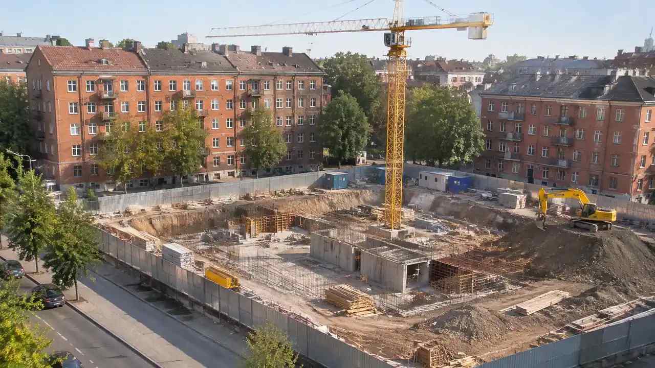
The scene is built from satellite and map sources, selected by drawing an area in the browser. No flight is required, and the process does not depend on a drone. The imagery is the starting evidence, and the map data supplies the structure around it.
That distinction matters because imagery comes in many forms. A satellite pass, an aerial survey and a street-level picture each answer a different question. The scene uses the sources available for the area, and the note should say which.
The picture also carries no labels. A roof, a canopy and a covered yard can look alike from above, and the generation has to choose. That choice is where a correction usually starts, and it is worth expecting.
1.2 What does the imagery carry?
Imagery carries the pattern of the ground: roofs, roads, water, tree cover and the shape of the blocks. The generation step turns that pattern into editable geometry, with heights estimated and types inferred. The result is a scene, not a measurement.
It also carries time. Every image has a date, and the date explains why a building might be missing or a road might be new. Recording the date turns the scene from a picture into a record with a known vintage.
Vintage is not the same as quality. A recent image of a small area can be less useful than an older image with better coverage, and the choice depends on the question being asked.
2 How the scene is built
2.1 How do you select the area?
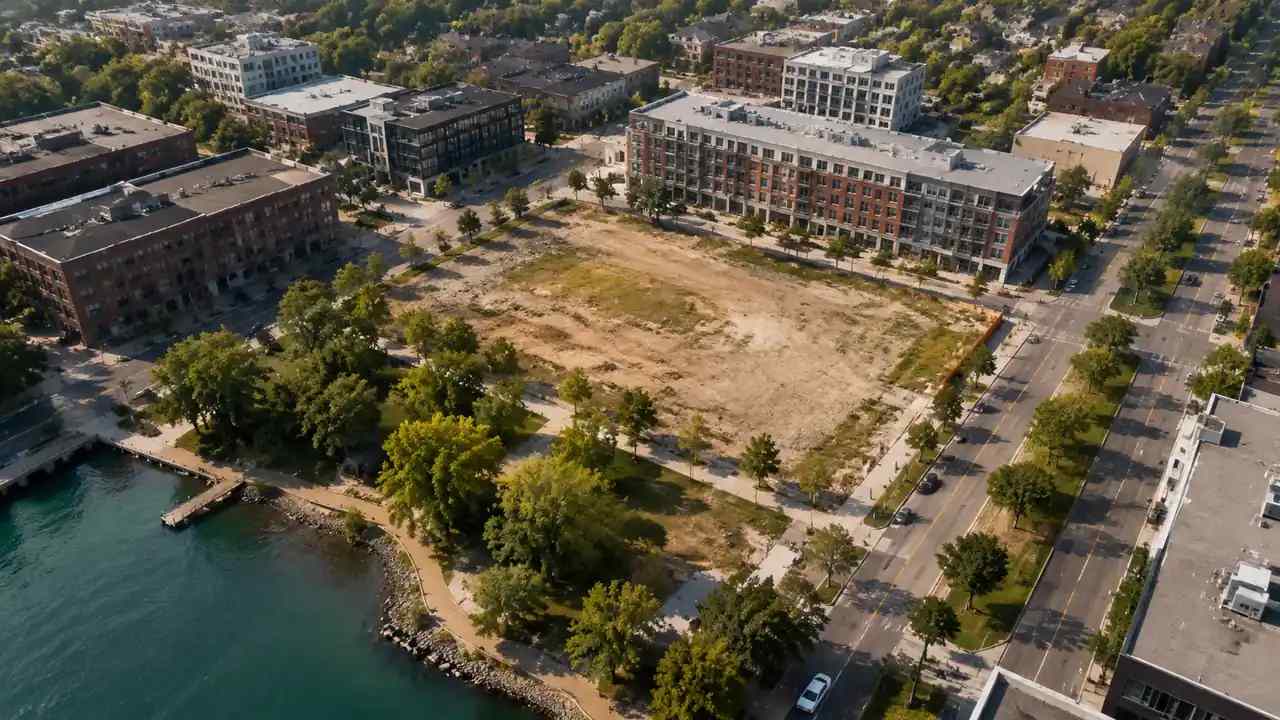
Draw the area around the site and the neighbours that matter. Too small and the scene misses the street, too large and it becomes heavy without adding an answer. The boundary should follow the question rather than a rectangle on the screen.
Check the edge before generating. Coverage can fade at the boundary of a dataset, and a half-drawn block at the edge is a common surprise. Extending the area is cheaper than explaining the gap in a meeting.
2.2 What does generation add?
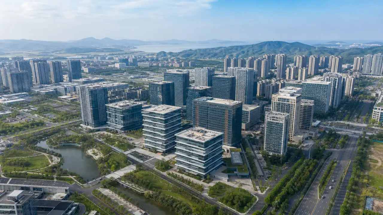
Generation adds structure: footprints become buildings, the ground becomes a surface, water becomes a layer and vegetation becomes a band. Heights are estimated from the source and the surrounding pattern, and the scene is matched to the terrain rather than left flat.
The step is an interpretation. It reads the imagery and proposes geometry, and the proposal is editable. That editability is the point, because a team can correct the buildings it knows and leave the rest as context.
Check the obvious errors before trusting the scene. A missing shed, a canopy read as a building or a road that stops at the boundary are all common, and each one is a minute of editing rather than a reason to start again.
3 Limits of imagery
3.1 What about freshness and occlusion?
Imagery is a moment, and the moment may be old. A new building, a cleared plot or a changed road will be missing if it came after the capture. Occlusion adds a second problem: a tall building can hide the ground behind it, and the generation fills the gap with an assumption.
Both limits are normal and both are manageable. Check the date, look at the areas where the imagery is ambiguous and correct what matters. The scene is a starting proposal, and the corrections are part of using it well.
Mark the corrections. A replaced building or a filled gap is a team judgement, and the next reader should be able to tell it from the source. A short log keeps the scene explainable.
3.2 What can imagery not see?
Imagery cannot see inside a building, below the ground or behind a wall. It cannot measure a floor level or confirm a structure, and it cannot read a boundary from a title. Those facts need a survey, a drawing or a legal record.
Professionals who work with imagery use published guidance, such as the ASPRS standards for mapping practice, to describe what a capture can support. A generated scene is a lighter instrument, and saying so keeps the handoff honest.
4 The handoff
4.1 How does the scene enter the model?
The scene enters as a GLB, imported as a reference. It carries geometry and materials, and it shows where the building sits and what surrounds it. The authored content stays in the authoring tool, where it can carry properties and a history.
The handoff works when the receiver knows what to expect. A reference is not a set of elements, and a model built on a reference still needs its own walls, floors and levels. Say that before the file is opened.
4.2 What should be stated?
State the source, the date and the area, and say that the scene is generated rather than surveyed. One sentence covers it, and the sentence is what keeps a reference from being quoted as a measurement.
Say what the receiver should do with it. A linked reference, a traced outline and a rendered background are different uses, and each one tolerates a different level of detail.
Add the import settings and the checker. A handoff with a name and a scale is easier to trust, and the record makes the next import repeatable.
5 Working with other captures
5.1 When does a flight help?
A flight helps when the question needs surface detail, texture or a record of a specific day. It captures what a satellite cannot resolve, and it is the right instrument for a facade study or an existing-conditions record. The scene and the capture can sit side by side.
Plan the comparison before commissioning the flight. A capture that answers a question the scene already answers is expensive, while a capture aimed at a known gap is easy to justify.
5.2 How do you keep them apart?
Keep them in separate files and separate notes. A captured surface and a generated scene look similar in a viewer, and merging them without a record creates a file whose provenance nobody can explain. Two files with two notes are easier to defend.
Name them so the difference is visible. A suffix that says capture or context saves a search, and it prevents the wrong file from being attached to a report.
Compare imagery with a scene in the GenAnywhere app when imagery is the source available, and keep the capture separate.
6 Records
6.1 What goes in the note?
The note records the source, the date, the area, the edits and the checker. It states that the scene came from imagery and estimates, and it says what the scene is for. Five lines cover it.
6.2 When do you refresh?
Refresh when the imagery is updated, when the site changes or when the question moves. A scene built for a massing study does not need refreshing for a coordination round unless the context has changed.
See the handoff step in the GenAnywhere workflow when the reference has to move into the model.
6.3 When do you stop?
Stop when the question needs a measured fact. Imagery cannot supply a level, a boundary or a structural detail, and the scene should step back when those arrive. The handoff is complete when the receiver knows both what it has and what it does not.
7 FAQ
FAQ-1 Does it process drone photographs?
No. The scene is generated from satellite and map data rather than from a photogrammetric capture. A drone flight is a separate source with its own processing and its own limits. The two can be used together, and they should be recorded separately. Neither replaces the other, and the note should say which one was used.
FAQ-2 Which imagery sources are used?
The scene uses the satellite and map data available for the selected area. Availability varies by place, and dense urban areas usually carry more detail than rural ones. Check the coverage before promising a scene for a remote site. A rural scene may need more manual editing, so budget for it.
FAQ-3 How current is the imagery?
As current as the source. The date belongs in the note, and it should be compared with any change the team knows about. A site under construction can be wrong within months, while a stable district can tolerate older imagery. Rebuild when the gap affects the decision, and record the new date.
FAQ-4 Can I measure from the scene?
No. Heights are estimated and outlines follow the imagery, so a dimension carries both weaknesses. The scene is for arrangement and context. If a measurement matters, commission a survey and use the scene to explain the brief. The two records answer different questions, and both belong in the project file.
Content and technical notes
This article was prepared by the GenAnywhere team with AI-assisted drafting and human review.
Product features, formats, and availability change as the platform evolves; refer to the official GenAnywhere website for current details.
For technical questions or corrections, contact support@genanywhere.com.
Last reviewed: 2026-11-06.