
Airport expansion site review: what teams can check in GenAnywhere
A practical review pass for runways, terminals, and the land around them
An airport expansion site review rarely starts on a blank site. Runways, taxiways, terminal edges, and service roads lock in most of the geometry before anyone draws a new layout, so the review question turns into one of fit. A shared view of the ground lets a team answer that question together instead of trading plan sheets.
1 What changes when an airport grows
1.1 How does a runway extension change the land beside it?
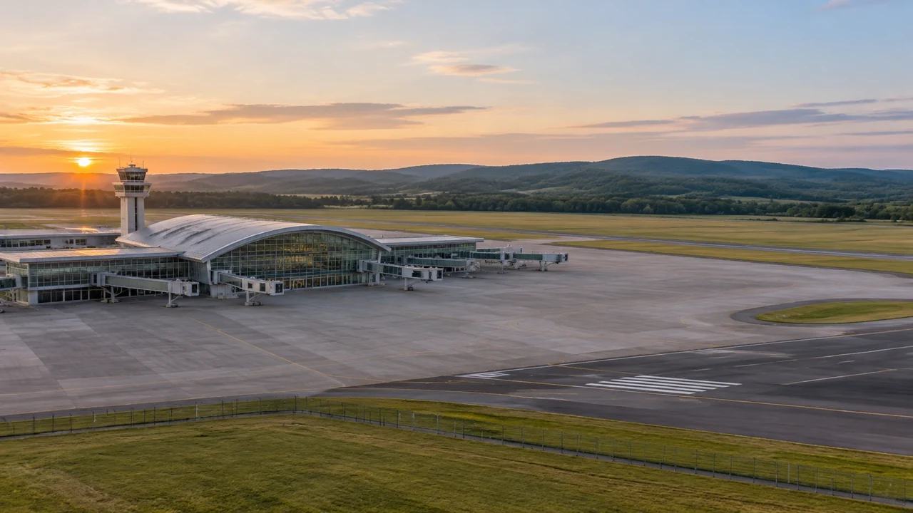
A runway extension reshapes the land long before pavement appears. Approach surfaces and runway protection zones reach past the fence, and a parcel that looks buildable on a map can sit inside a surface that limits height or use. Putting the proposed runway end beside the existing fields and buildings makes those overlaps visible while the option set is still wide.
Drainage shifts with the same move. A longer runway usually means new grading at the end, and water that crossed the area has to go somewhere else. A surface model shows slope direction and low ground, which is enough to ask where a swale, culvert, or detention basin would sit, even though the hydraulic design comes later.
1.2 Where do terminal and apron additions sit?
Terminal additions press against three things at once: the apron, the landside road system, and whatever sits beyond the service edge. A model that shows footprints, heights, and nearby vegetation lets a planner test a few massing ideas quickly and see which one crowds the taxi lane or blocks a service yard.
Apron geometry is less flexible than it looks. Aircraft stands need depth, pushback clearance, and a route to the taxiway, while ground service equipment needs a place to wait without crossing active pavement. Sketching those zones on the model turns a list of requirements into a layout a group can discuss in one meeting.
2 Reading constraints before design
2.1 Which edges and obstacles matter?
Airport boundaries are rarely tidy. A creek, a rail line, a highway embankment, or a row of houses can define the practical edge of a site more than the property line does. When those features sit in the same scene as the proposed work, a team can see which side of the site has room and which side is closed off by something expensive to move.
Obstacles inside the boundary matter too. Fuel farms, radar, navigation aids, and maintenance compounds occupy land that an expansion might otherwise claim. Marking each one in review notes keeps the same option from being reopened every week.
2.2 How do access roads and service yards fit?
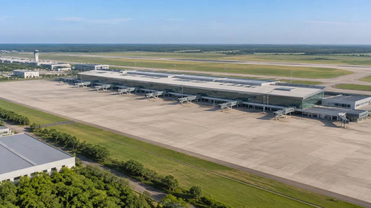
Road access is a common late surprise. A terminal addition can push traffic onto an intersection that already runs near capacity, and a new service entrance may need a grade the site cannot give without a retaining wall. Looking at the road network with the terminal and parking in place shows where a new approach would land.
Service yards are easy to underestimate. Delivery trucks, fuel, catering, and waste collection all need space and a route that does not cross passenger areas. A simple block model of the yard, sized to the vehicles a team expects, is enough to test whether the plan keeps those movements apart.
3 Building a scene teams can share
3.1 What does the generated scene contain?
GenAnywhere builds a scene from a map selection, using map and satellite data to place buildings, terrain, water, and vegetation. It recognizes building outlines, estimates height, infers a building type, and reads the surrounding greenery. The result is an editable site model, not a fixed picture, so a team can change the parts that are wrong.
For an airport review, the terminal, hangars, and nearby buildings arrive as objects a planner can move, rotate, or replace. One building can be swapped for a larger footprint, and its height or type can be adjusted. Terrain is generated and matched to the ground surface, so a pad cut into a slope reads as a cut rather than a flat plane.
3.2 How do teams keep views consistent?
A comparison works when everyone looks at the same thing. Fix the camera height, the viewing direction, and the layer set before the review starts, then use those settings for every option. If one scheme is shown from a low angle and another from directly above, the group is comparing camera positions, not layouts.
A small set of standard views helps. A plan view for footprint coverage, an oblique view from the approach side, and a view from the terminal curb cover most questions. Add the source date of the imagery to each view, because the ground in the scene reflects the capture date, not the day of the meeting.
4 Comparing options without false certainty
4.1 What should a comparison show?
A useful comparison answers a short list of questions in the same order for each option. How much flat ground does the scheme use? Which buildings would have to be removed? Where does stormwater leave the site? How close does the new work come to the nearest neighbors? Keep the list to five or six items and score each option against it.
Layouts should differ in one dimension at a time. If one option also changes the runway configuration and another changes the terminal size, the group cannot tell which change produced the difference it sees. Build each option on the same base scene so the land stays constant.
4.2 What does the scene leave out?
The scene describes surface shape and what sits on it. It does not contain soil borings, groundwater, buried utilities, pavement condition, or the findings of an environmental review. Those studies still decide whether a scheme can be built, and the model is a way to ask better questions before they are commissioned.
Height is estimated, not measured. A building can be taller or shorter than it appears, and vegetation changes with the season. Treat the scene as a planning view and confirm anything that affects a design decision against a source that has been checked, such as the airport planning guidance published by the Federal Aviation Administration.
5 Where GenAnywhere fits the review
5.1 What can be adjusted before export?
Before export, a team can edit the parts of the scene that are wrong. Replace a building that no longer exists, move a proposed structure along the apron, rotate it to match a new orientation, or raise and lower it to test a massing idea. Layers separate buildings, terrain, and vegetation, so each can be shown or hidden for a specific question.
That editing loop is where the model earns a place in an airport review. Planners often need to answer a question in the room, such as what happens if the cargo building moves thirty meters west. A scene that changes during the discussion keeps the meeting from ending with a list of views to produce later.
5.2 What does the GLB handoff support?
After preview, the scene exports as a general GLB file. That file can enter 3D, BIM, GIS, and game engine workflows, including the tools covered in the official tutorials. It is a visualization and review asset, not a native survey deliverable, and coordinate handling depends on the receiving software and the team's own checks.

Teams that need the scene in a design tool should test the import path on a small area before a project relies on it. Materials, units, and origins can behave differently between applications, and a short trial shows the difference. Open the browser app and follow the site workflow when the shortlist is ready.
6 Limits, review habits, and next steps
6.1 When is a generated scene the wrong tool?
A generated scene is a poor fit when the question needs a regulated answer. Airspace studies, environmental impact work, geotechnical design, and pavement engineering all depend on data the scene does not hold. The same applies when a decision turns on a single check, such as whether a crane can clear a nearby roof.
It is equally wrong to present the model as an approved plan. The scene shows what the land looks like under a set of assumptions, and those assumptions need to travel with any image that leaves the team. Label each view with the option, the source date, and the question it answers.
6.2 What should the review packet contain?
A packet that survives scrutiny has one page per option, a fixed set of views, and a short note on what each view shows. Put the assumptions beside the images: terminal size, apron depth, parking supply, and road capacity. Readers who disagree with an assumption can then say so before the conversation drifts.
Include the constraints that shaped the site, such as a creek that cannot be moved or a navigation aid that must stay. Note the studies that are still outstanding, because a review that hides open questions looks more finished than it is.
6.3 How does a team start?
Pick one expansion question and build the area around it. A runway end, a terminal curb, or a service yard is enough for an opening session. Keep the opening pass rough. The aim is to see whether the land supports the idea, not to produce a rendering.
Then invite the people who will disagree. Airside operations, landside planning, and the engineering team often hold different assumptions about the same piece of ground, and a shared scene makes those differences concrete. Note what changed during the session, because those changes are the start of the next iteration.
7 FAQ
FAQ-1 Can a generated scene replace an airport master plan study?
No. A master plan study covers demand forecasts, airspace, environmental review, and financial phasing, and the scene carries none of that. What the scene adds is a shared picture of the ground: where buildings sit, how the land slopes, and which options fit inside the boundary. Use it to frame questions for the study, not to stand in for the study itself.
FAQ-2 How current is the imagery behind the scene?
The scene is built from map and satellite data available in the platform, so it reflects conditions at the capture date of that source. Recent grading, new construction, or temporary stockpiles may not appear. Check the source date before relying on the scene for a decision, and plan a site visit for anything that has changed since the imagery was collected.
FAQ-3 Can teams compare two expansion options?
Yes, provided both options sit on the same base scene and use the same camera and layer settings. Build each option as an edit of the same ground, then review them side by side with an identical question list. Record which assumptions differ between the options, because those differences often explain the result more than the geometry does.
FAQ-4 Does the exported file work in GIS and game engines?
The scene exports as a general GLB file, which multiple 3D, BIM, GIS, and game engine tools can import. Behavior varies by application: units, materials, and origin placement may need adjustment, and coordinate handling is the receiving team's responsibility. Test with a small scene before the full export, then confirm the import path with the group that will use the file.
Content and technical notes
This article was prepared by the GenAnywhere team with AI-assisted drafting and human review.
Product features, formats, and availability change as the platform evolves; refer to the official GenAnywhere website for current details.
For technical questions or corrections, contact support@genanywhere.com.
Last reviewed: 2026-11-11.