
Can GenAnywhere model wind turbines? What it needs
No. Turbines are equipment. The platform models the ground they stand on, which is the part every siting argument starts with.
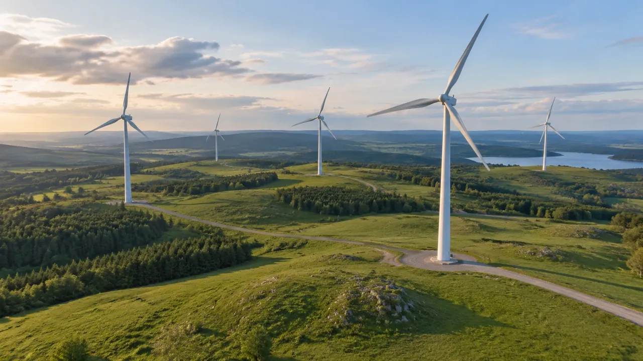
No, it does not model turbines. A GenAnywhere scene contains terrain, water, vegetation and building masses generated from map data, and a wind farm is a set of machines placed on that ground. Towers, nacelles, blades and foundations come from a manufacturer or an asset library and are positioned in a downstream tool. What the platform contributes is the landform, the neighbours and a consistent frame for comparing one layout against another.
1 What the scene produces, and what it does not
1.1 The turbine is an asset
A turbine is a machine with a hub height, a rotor diameter, a tower section schedule and a foundation design. None of those can be read from a map, and the platform does not try. The model comes from the manufacturer, from a developer's standard layout or from an asset library, and it is placed where the design says. That is a healthy arrangement, because a turbine specification changes more often than a hillside does. It also means the machine can be swapped in a minute when the layout is revised.
1.2 The ground comes from the map
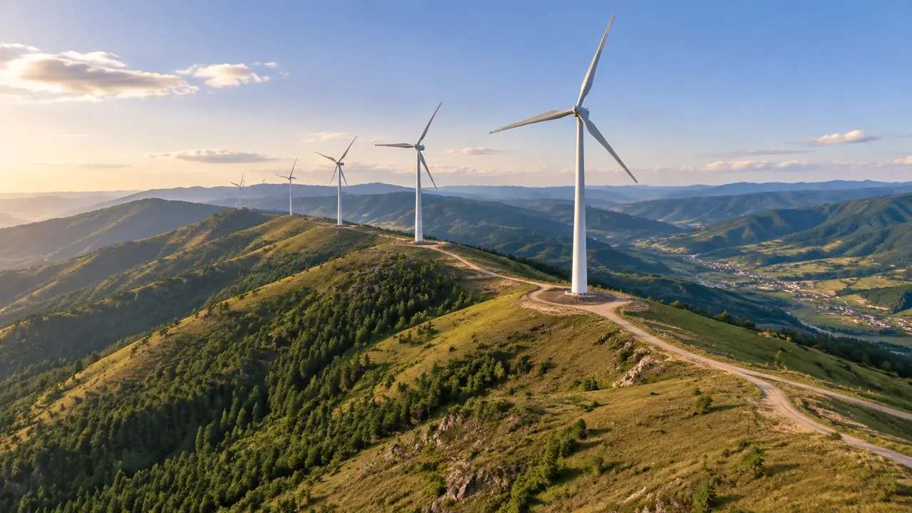
The generated terrain shows the shape of the land across the area you select, with vegetation as a layer and buildings at their mapped positions. Ridges, saddles, plateaus and the fall towards a valley all read in the scene. For a siting conversation, that is the substrate: a machine placed on a ridge and a machine placed in a hollow are different proposals, and the difference is visible before any turbine model arrives. A likely position can be sketched by marking a point and a radius, and the terrain will show what the machine would stand above.
2 Siting conversations the scene supports
2.1 Relief and the shape of the site
A wind site is usually chosen for its landform, and landform is what the scene does well. Look along the ridge rather than across it, then look from the valley floor, because the two views answer different questions. A plateau that looks broad from above can turn out to break sharply at one end. Those observations are visual rather than measured, and they are still the ones that shape an early layout discussion. A ridge that reads as continuous from one side often has a saddle that changes where a machine can sit.
2.2 Neighbours, woodland and settlements
Buildings within the extent appear as masses, which puts houses, farms and small industrial units in the picture at something close to their true size. Woodland appears as a grouped layer, so a block of trees reads as a block rather than as individual stems. Both matter when the conversation turns to what a turbine would stand near. The scene shows proximity and setting; it does not judge separation distances, and it should not be asked to. Where a house sits in relation to a proposed position is a visual question, and the scene answers it at a glance.
3 Placing turbines in the scene
3.1 Overlaying the machine
Export the site, open it in the tool that holds the turbine model, and place the asset on the ground you generated. Hub height and rotor diameter come from the specification, not from the scene, so check the asset against a known building to confirm the scale. A turbine that reads too small changes the whole impression of a layout. Once the scale is right, the scene supports a conversation about spacing and setting rather than about the machine. Keep the asset in its own group so a change of model does not disturb the site.
3.2 Views that carry a siting argument
Wind discussions live or die on views, so choose them deliberately: from a nearby road, from the edge of a settlement, along the ridge, and from above for the layout. Each answers a different objection. Keep the camera height consistent between options, because a view from eye level and a view from a drone tell different stories about the same machine. Label each view with its direction, and the same four views can serve every layout you test. Consistency between options is worth more than a spectacular single image.
4 Limits of a map-made site
4.1 No yield, wake, noise or shadow modelling
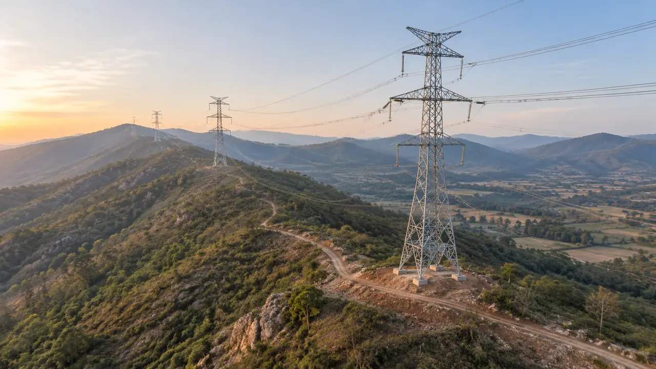
The platform does not calculate energy yield, wake losses, noise propagation, shadow flicker or visual impact. Those studies belong to specialist tools and to the engineering practice around grid connection, where bodies such as IEEE publish relevant material. In the scene, a turbine is a shape on a hill. It has no performance and no acoustic behaviour. Keeping that boundary clear stops a siting review from being mistaken for a technical assessment. When a noise or yield question arrives, the answer is a study with a named author, not a wider view of the hill.
4.2 Imagery date and ground works
Wind sites change during construction: tracks appear, hardstandings are cut, and a crane pad is built that nobody mapped. The scene will show the ground as the imagery recorded it, which may be before or after those works. Check the date and mention it. If the review covers a construction phase, note which phase the scene represents, because the ground at the start of a build is not the ground at the end. Two dated scenes are easier to compare than one scene with an ambiguous date.
5 Running a wind site review
5.1 Wide view before close view
Open with the site in its landscape, then move to the ridge under discussion, then to the specific position. The wide view answers whether the site belongs where it is; the close view answers whether a machine fits there. Reversing that order produces arguments about a foundation before anyone has agreed on the hill. If the audience knows the site, let them correct the masses and the extent as you go. A local correction made in the room is usually better than one made afterwards from memory.
5.2 What to admit early
Say what is missing: the turbines, the tracks, the substation, the grid connection and any study behind the layout. Also say what the scene is made of, which is map data at a known date. Admitting both takes under a minute and changes how the audience reads everything that follows. A scene that is honest about its limits is trusted further than one that is polished and vague. That trust is what lets the conversation reach the layout rather than the file.
Open the GenAnywhere app and frame a wind site
6 Export and handover
6.1 GLB into the layout workflow
Preview the scene and export a GLB that carries terrain, water, vegetation and building masses into a 3D, BIM, GIS or game engine workflow. Layouts are usually built in one of those tools, so the export is the base rather than the deliverable. Test the import before the layout session, since scale and orientation errors are easiest to fix when the scene is empty. The platform overview describes what the file contains. Formats vary with the receiving tool, so treat the export as one step in a workflow rather than a universal interchange.
6.2 Notes on terrain and assets
Write down the extent, the imagery date and the edits, and add one line about the terrain: whether it was generated as-is or adjusted. If the site has been regraded, that line matters more than any other. A plateau cut for a hardstanding looks different from the original ground, and the difference explains half the questions a returning reviewer asks. Keep the turbine asset version in the note as well, because rotor diameters change between options and a mixed set of models is easy to miss in a wide view. A single line per option is enough.
6.3 Testing several layouts
Most wind reviews compare two or three layouts, and the scene should stay fixed while they change. Keep one export as the base and place each layout in a separate file or collection, named after the option. Do not regenerate the terrain between options, because a moving base makes the comparison worthless. When the terrain itself needs to change, treat that as a new version with its own date, and keep the old one. A layout decision is often explained by the base it was tested against.
7 FAQ
FAQ-1 Does GenAnywhere generate wind turbines?
No. Turbines are equipment assets supplied by a manufacturer or a library, and they are placed in a downstream tool. The platform generates the site: terrain, water, vegetation and building masses. That division keeps the machine specification separate from the ground, which is useful when a layout is still being tested. It also makes the scene reusable when the machine model is upgraded.
FAQ-2 Can I use the scene for a siting study?
For the visual and spatial part of it, yes. The scene shows relief, neighbours, woodland and access context at a consistent scale, which supports early conversations about where machines might go. It does not calculate yield, noise or shadow, and it is not a substitute for the studies that do. Bring those studies to the same review and let each do its own job.
FAQ-3 How do I check turbine scale?
Compare the asset against a building with a known height, such as a barn or a warehouse in the scene, and against the terrain width across the site. If the machine looks plausible beside those references, the scale is probably right. A turbine that dwarfs a farmstead usually has a unit problem rather than a design one. Check the asset file's own units before touching the site, since the site is what other people depend on.
FAQ-4 What about access tracks?
Tracks are not generated. The terrain shows where a track would have to go, including the slopes and the wet ground it would cross, which is enough for an early discussion. The track geometry comes from a civil design and is added in the receiving tool. Note that the imagery may predate tracks already built, and say so when the scene is shown to anyone who knows the site. An absence that is explained reads differently from an absence that is not.
See how a wind site becomes a shared scene
Content and technical notes
This article was prepared by the GenAnywhere team with AI-assisted drafting and human review.
Product features, formats, and availability change as the platform evolves; refer to the official GenAnywhere website for current details.
For technical questions or corrections, contact support@genanywhere.com.
Last reviewed: 2026-11-13.