
Seminole airport terminal: what site teams can test in GenAnywhere
Framing apron, curb, and access questions before the terminal program is fixed
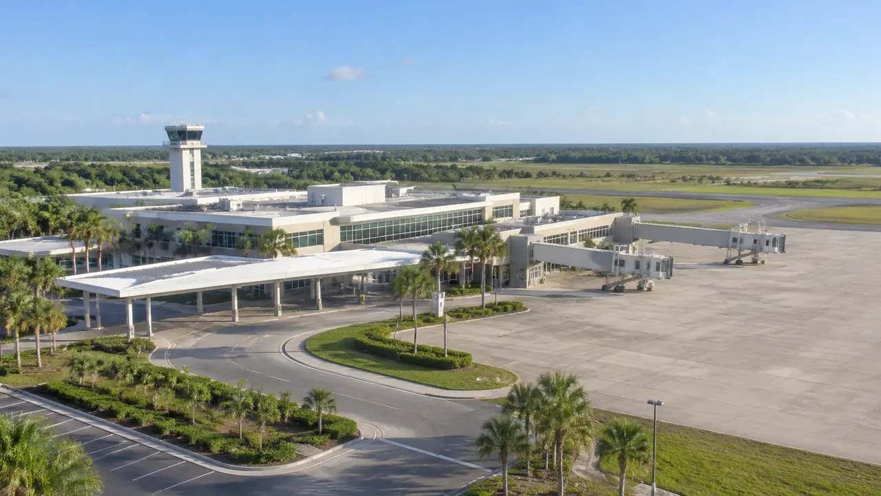
A Seminole airport terminal project usually starts with an aviation demand forecast and a gate count. The site team then has to answer a blunt question: can the building, the apron, and the road system share this land? GenAnywhere helps frame that question in 3D, so the terminal footprint, the curb, and the surrounding parcels can be compared on one screen.
1 What site teams can test before a terminal design exists
1.1 Test the footprint against the apron
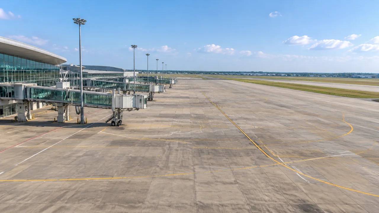
The terminal footprint and the apron are a single problem. Aircraft need clearance, service vehicles need a path, and the building needs frontage on both sides. Before a gate layout is drawn, a team can test whether a simple box of the right size leaves enough apron depth. That test often reveals a site constraint that a floor plan would hide until much later.
Keep the massing simple at this stage. A box with the right depth and width is enough to start a conversation about apron space, and detail can wait until the fit is settled. The goal is to rule out a bad arrangement, not to design the building.
1.2 Check landside access and parking
On the landside, the curb frontage sets how many vehicles can arrive at once. Parking, rental return, and bus movements all compete for the same road network. A terminal that works inside can still fail at the curb on a busy morning. Sketch the road loops and the parking blocks early, and check that each mode has a way in and out.
Count the curb twice, once for cars and once for buses and shuttles. They use the same asphalt in different ways, and a peak hour mixes them. A simple diagram of the loops is more useful than a traffic count at this point.
2 Reading the airport context
2.1 Respect runways, taxiways, and protected areas
Existing runways and taxiways impose geometry that a site plan cannot ignore. Clearance areas, approach surfaces, and navigational aids all shape where a building can rise. The airport's master plan and the local authority hold the current maps. A site team should read those maps before testing massing, and treat any generated scene as background rather than an aviation survey.
If the map is unclear, ask the sponsor for the airport layout plan rather than guessing from imagery. That document also shows the areas reserved for future development. Reading it takes an hour and prevents weeks of wrong assumptions.
2.2 Read the surrounding land uses
The land beyond the fence matters too. Noise contours, light-sensitive neighbors, and future expansion areas can change what the terminal site may become. A parcel that looks empty today may be reserved for a runway extension or a cargo apron. Ask what the airport intends to keep, and draw that boundary on the same plan as the terminal options. A simple land use map with the airport boundary on it prevents a lot of wrong assumptions. Add the noise contour if one is available, and mark the neighbors who are most likely to comment.
3 Building a shared site scene
3.1 What GenAnywhere can assemble
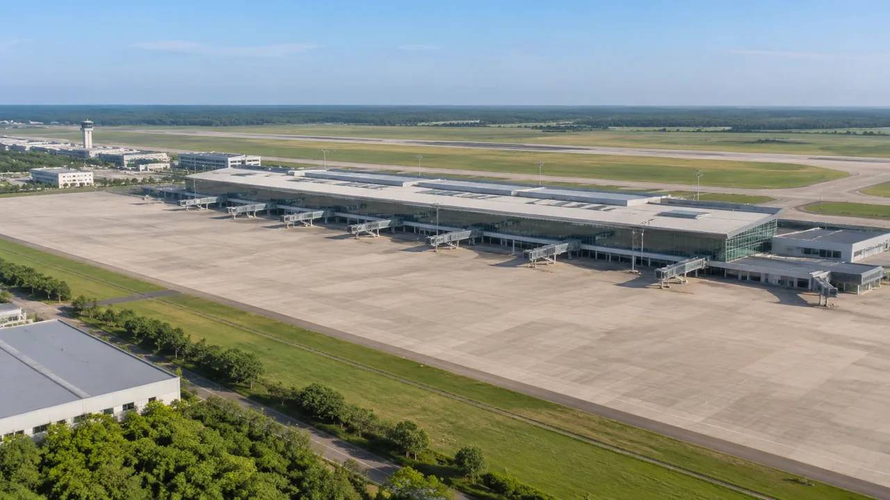
GenAnywhere generates an editable 3D site model from map and satellite data for an area the user selects. It identifies building footprints, estimates height, infers building type, and reads surrounding vegetation. Buildings, terrain, water, and planting come through as separate layers, and the scene can be edited before export as GLB. For an airport site, the scene can hold the existing terminal, hangars, roads, and parking while a proposed massing volume is placed and compared. A simple overlay of the option on the existing terminal is often enough to start the discussion.
3.2 What it cannot determine
The platform does not analyze airspace, calculate runway clearance, or issue an aviation determination. It does not model passenger flows or structural loads. Those tasks belong to aviation planners, engineers, and the responsible agencies. The scene is a way to see how a proposed footprint meets the ground and the roads, and to ask better questions of the specialists. Name the limits when the scene is presented. A clear boundary makes the tool easier to use well, and it keeps the conversation on site fit instead of drifting into aviation analysis.
4 Comparing terminal options
4.1 Use the same view and criteria
Every option should be shown from the same camera positions and judged against the same list. Compare apron depth, curb length, walking distance, and road access rather than rendering quality. A terminal option that looks elegant from above can lose its advantage when the curb and the parking are drawn at the same scale as its competitors. Keep a fixed list and score every option against it before the meeting, not during it. The list should be short enough to remember and specific enough to argue about.
4.2 Record the tradeoffs
Write down what each option gains and gives up. A compact footprint may leave more apron but crowd the curb. A spread-out plan may ease the road loop and lengthen the walk. Record the tradeoff and the assumption behind it, then revisit the list when the gate count changes.
The record keeps the comparison from restarting at every meeting. A tradeoff written down is easier to revisit than one remembered from a conversation. Add the name of the person who owns the next check.
5 Working with airport and local planners
5.1 Questions for the airport sponsor
Ask which documents govern the site, which areas are reserved for future aviation use, and what review the sponsor expects. Ask how the terminal is meant to connect to the apron and whether a fuel or service route crosses the site. Get the answers in writing and dated. Ask for the current layout plan and the latest capital improvement program. Both shape what the site can become, and both change on a schedule the project does not control. The Federal Aviation Administration airports office publishes guidance that helps frame those questions.
5.2 Questions for the city
Ask about zoning, height limits, stormwater, and the road network outside the airport boundary. Confirm who maintains each road and what improvements the city expects. A terminal project can trigger off-site work that the site plan must anticipate. Early conversations with the city usually reveal those obligations before they become surprises. Bring a simple site plan to the meeting. It makes the conversation about land instead of process, and it gives the city something specific to respond to.
6 When the site frame changes the brief
6.1 Revisit the footprint on clear signals
Revisit the footprint when the apron cannot reach the required depth, when the curb has no room to queue, or when a protected area cuts through the building envelope. Those signals mean the program and the land are out of step. Changing the massing early is cheaper than discovering the conflict during design review. A footprint change is cheaper than a road change, and both are cheaper than a delay. Move the massing while the program is still flexible.
6.2 Document the open questions
Keep the scene file, the camera positions, the source dates, and a short list of open questions. Note which areas are reserved for aviation use and which are still under discussion. A reviewer should be able to see why an option was rejected without reopening every drawing. The record also protects the team when the master plan changes. A short index of files is enough, since the detail lives in the files themselves. Add the date each file was produced.
6.3 Hand the scene to design
Export GLB when the design team needs the context in its own tool, and keep the layered scene for edits. Name the file with the airport, the date, and the option. The design team can open the site in a familiar environment and start with the same assumptions. The site group keeps a record of what was shared and when. Ask what format the receiving team can open before the export is made, and label the file with the option name.
Generate a site model from a map
7 FAQ
FAQ-1 Can a 3D scene help with airport terminal planning?
It can help a team test how a terminal footprint, apron, parking, and roads fit on the land. That is a site question, and it comes before detailed design. A scene makes the relationships visible to people who do not read plans. It does not analyze airspace or passenger flows.
FAQ-2 Does GenAnywhere replace an airport master plan?
No. A master plan sets aviation policy, phasing, and protected areas, and it is adopted through a public process. A generated scene is a visual context for site discussions. Use it to test options against the existing airport, and keep the master plan as the governing document. Treat the scene as a sketch that helps the meeting, not a planning document.
FAQ-3 What should a site team check near a runway?
Check the protected areas, approach surfaces, and any navigational equipment that affects building height or placement. Confirm the current maps with the airport sponsor and the local authority. Also check access roads and utility corridors, since those often cross the same protected ground. Write down the answer and the date, because airport maps are revised.
FAQ-4 Is the exported model suitable for an aviation review?
No. An aviation review needs studies and documents prepared to the standards of the responsible agency. A GLB scene is a visualization and design aid. Ask the sponsor what it requires, and keep the model in a supporting role rather than presenting it as an aviation analysis. Keep the scene labeled as context in every package.
See how the site workflow fits together
Content and technical notes
This article was prepared by the GenAnywhere team with AI-assisted drafting and human review.
Product features, formats, and availability change as the platform evolves; refer to the official GenAnywhere website for current details.
For technical questions or corrections, contact support@genanywhere.com.
Last reviewed: 2026-11-14.