
Oblique photography handoffs: what to verify in GenAnywhere
Six checks that stop a dated capture and an editable base from arriving in the next team's hands as an unlabelled pile of files.
A handover fails quietly. The files open, the scene looks right, and three weeks later someone discovers that the model is in different units, the capture is two seasons old or the neighbour was never flown. The checks that prevent this are dull and quick, which is why they get skipped.

1 Define the handover
1.1 What moves between teams?
The capture, the site model, the coverage drawing and the note. Each answers a different question, and a handover that omits one leaves the receiver guessing.
The receiver is usually a designer, a planner or a GIS analyst who did not commission the work and has no memory of the flight.
That distance is the point of the handover. The receiving team should be able to work without calling the sender, which means the note has to carry the context the sender holds in their head. A handover that needs a phone call has failed, even if the files arrived on time. Oblique photography adds a surface record to that set, and it is the part most likely to be misread without its date.
1.2 Why do handovers fail?
Because the sender assumes the receiver sees what they see. A surface that is obviously water to the surveyor looks like a smooth plane to the designer.
Because a file name carries more meaning than a folder structure. "Final" tells the receiver nothing about the date, the extent or the version.
Because acceptance is informal. Nobody signs off, so nobody checks, and the real check happens when a decision is already under way. Make acceptance a step in the programme, with a date and a name, rather than a courtesy at the end of a meeting.
2 Verify the source
2.1 What belongs to the capture?
The flight date, the operator, the camera and the processing software. If the capture was flown by a third party, the terms under which it can be used belong in the note as well.
The coverage boundary, drawn rather than described. A written extent is ambiguous at the edges, and the edges are where disputes start. If the capture was flown under a contract, the contract reference belongs in the note as well.
The known failures: water, glass, vegetation and moving objects. The sender knows where they are, and the receiver will find them at the worst moment.
2.2 What belongs to the base?
The imagery date behind the map data, the area drawn and the version of the model.
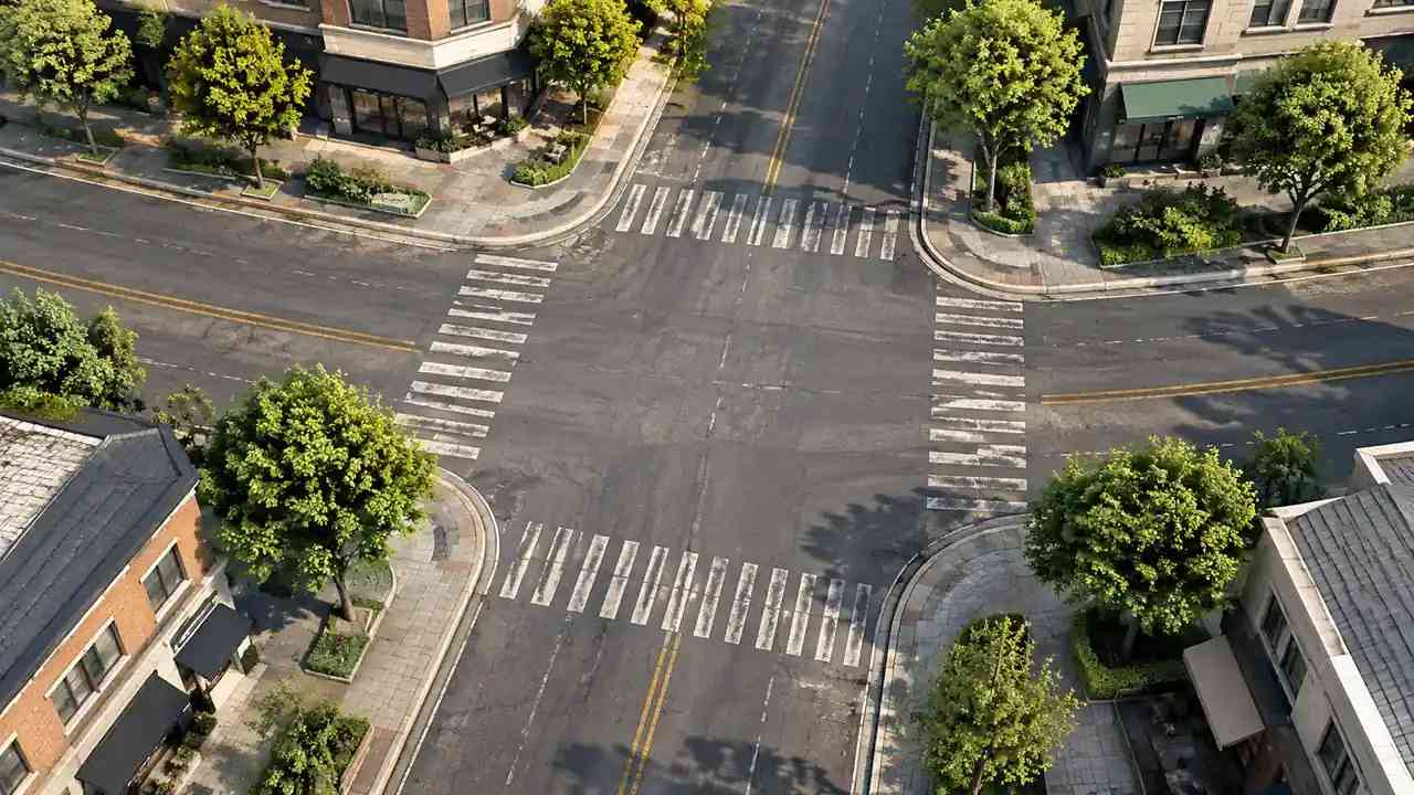
The edits made after generation: buildings replaced, heights changed, vegetation removed. A base with unrecorded edits is a base whose provenance cannot be reconstructed. A base edited without a record is also difficult to compare with the next version.
The export settings, including the format and the unit assumed on export. The Khronos glTF specification defines the container that GLB uses, which helps when a receiver needs to explain why two viewers show different results. The layer structure of the base helps in the same way: buildings, terrain, water and vegetation arrive separately, so a receiver can confirm what was edited rather than guess.
3 Verify the frame
3.1 Units and origin
Open the scene and check one dimension that is known independently. A door, a parking bay or a building frontage will do.
Confirm the unit. A scene that assumes metres and arrives in feet will look ten times too large, or too small, and the error is easy to miss in a landscape view. Write the unit in the note as well as in the file metadata, because metadata does not always survive a conversion.
Confirm the origin. Two files that are each correct can still sit a kilometre apart if one was exported with a local origin and the other with a geographic one.
3.2 Scale on import
Import the GLB into the receiving tool and measure the same dimension again. Export and import are separate steps, and each can apply its own convention.
Check the vertical. A model that sits on the ground in one tool may float or sink in another, and the error is often a constant offset. Test a second dimension in a different part of the scene, so a local error cannot pass as a global one.
Write down the result. A tested dimension in the note is worth more than an assurance that the export was standard.
4 Verify the content
4.1 Layers and naming
Confirm that buildings, terrain, water and vegetation are still separate. A merged layer loses the property that made the base useful for review.
Confirm the naming convention. A layer called "buildings_final_v2" tells the receiver less than one called "buildings_2026-10". A convention that changes between projects costs a reviewer time on every pack.
Confirm what is proposed. A new volume should be visually distinct and labelled, or the receiver will treat it as existing.
4.2 Missing pieces
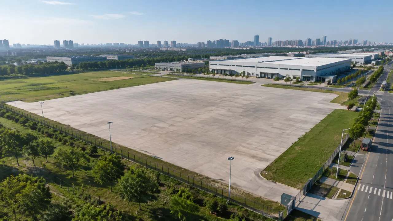
Check the edge of the area. A base that stops mid-block leaves the neighbour as a void, and the void will appear in the opening client view. Flag the edge in the note rather than modelling a guess, because a guess at the boundary is harder to correct than a gap.
Check the ground under vegetation. A canopy that hides the terrain can leave a hole that appears when the trees are hidden.
Check the water. A riverbank that reads as a cliff is a common artefact of a map-derived base, and it is worth flagging before someone designs a promenade onto it. Check the water edge at the same time as the ground.
5 Verify the access
5.1 What can the receiver open?
Confirm the software versions. A scene that needs a current release will not open on a machine two versions behind.
Confirm the file size against the receiver's hardware. A district capture at façade detail can be slow to open, and a receiver who cannot orbit it will stop using it. Ask the receiver to open the files before the handover meeting, not during it.
Confirm the licence. A capture flown by a third party may carry terms that limit internal sharing, and the note should say what they are.
5.2 What about the export?
Test the GLB in the tool the team actually uses, not in the viewer that shipped with the exporter.
Check the materials. Texture may arrive at a different resolution, and a façade that looked sharp in the source may look soft after import. Check it at the zoom level the review will actually use.
Check the orientation. A model that arrives rotated by ninety degrees is a common and fixable surprise, better found before the meeting.
6 Close the handover
6.1 What does acceptance look like?
The receiver opens the files, runs the dimension test, checks the layers and the coverage, and signs a short note confirming what was verified. A signed note is not a legal instrument; it is a record that someone looked.
The sender answers the questions that come back and updates the note where the answer changes it.
Acceptance is a conversation with a record, not a transfer of files.
6.2 When do you reject a handover?
When the date is missing. A record without a date cannot be used as evidence.
When the coverage is unexplained. A blank neighbour is acceptable if the note says why; unexplained, it is a trap.
When the dimension test fails and nobody can say which source governs. Guessing at that point is more expensive than asking. A handover rejected early is cheaper than a decision corrected late.
6.3 When does the handover end?
Stop when the receiver can answer the questions the project will ask. Further checks that no decision depends on are cost without benefit.
Stop when the remaining uncertainty is recorded. A known gap in a note is manageable; an unknown gap is not.
Stop when the handover is superseded. A new flight replaces the record, and the old one becomes history rather than a working file. A superseded record should be retired rather than deleted, so the trail stays intact.
Draw the area in the GenAnywhere app and hand the note over with the scene it describes.
7 FAQ
FAQ-1 Does GenAnywhere manage handovers between teams?
No. The platform produces a site model and a general GLB export. The handover note, the acceptance check and the record of what was verified sit with the teams, although the layer structure makes those checks easier to run. The note remains the team's own record, and it is worth keeping with the scene it describes.
FAQ-2 What is the single most important check?
The dimension test. It catches unit errors, origin errors and import scaling in one step, and it gives the receiver a number they can quote when someone later questions the scene. Run it twice on a large scene: once at the site and once at the far edge, because a local error can hide in one corner.
FAQ-3 Should the capture travel with the model?
Yes. The capture is the evidence of surfaces and the model is the evidence of arrangement. Sending one without the other invites the receiver to read the wrong kind of confidence into whichever file arrived. Sending the capture alone invites a surface question the model cannot answer; sending the model alone invites a dimensional question the capture cannot settle.
FAQ-4 How long should a handover note be?
One page is usually enough. Date, coverage, sources, edits, known failures, the dimension test result and the contact who can answer questions will cover most projects. Add a line for anything unusual, such as a third-party licence or a conversion problem, because that is the part a reader will hunt for later.
See how a map area becomes an editable site model in the GenAnywhere workflow.
Content and technical notes
This article was prepared by the GenAnywhere team with AI-assisted drafting and human review.
Product features, formats, and availability change as the platform evolves; refer to the official GenAnywhere website for current details.
For technical questions or corrections, contact support@genanywhere.com.
Last reviewed: 2026-11-06.