
Airport digital twins: how site teams use GenAnywhere
What a site-scale twin carries, which team owns each layer, and where surveyed data takes over.
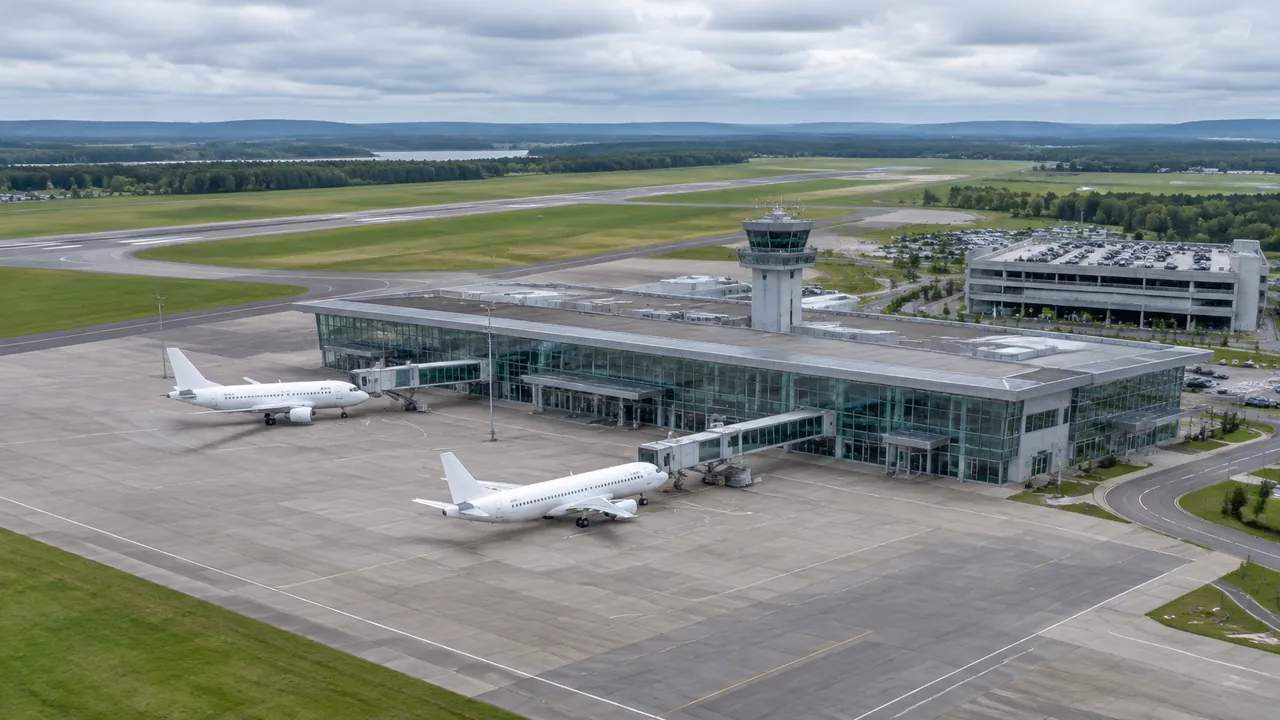
An airport digital twin starts with context: how the terminal sits against the apron, where service roads meet the perimeter, and what the ground does at the boundary. Site teams build that picture early, before survey crews and BIM authoring are committed. The work then divides into layers that each downstream team can own and maintain.
1 Start at the airside boundary
1.1 Which layers belong in an airport site twin?
Four layers carry most of the value at site scale: terminal and support buildings, apron and taxiway surfaces, terrain and drainage, and the surrounding road network. Each answers a different question and each has a different owner. Buildings belong to the architecture team, pavement and markings to airside engineering, terrain to civil, and access roads to the airport operator or the local authority. Agreeing on that split early prevents duplicated models later.
1.2 What level of detail does a site team need before survey?
Enough to test relationships, not enough to build from. A site team needs footprints, approximate heights, the apron edge, the road network and a terrain surface that shows slopes and drainage paths. Facade detail, structural grids and equipment layouts arrive with the design teams. Asking for that detail too early slows the study and produces a model nobody can maintain.
The same logic applies inside the terminal. Gate seating, retail units and baggage systems belong to the design model, and a context scene that tries to carry them becomes a file nobody can keep current.
2 Put terminal, apron and terrain in one frame
2.1 How does the apron edge constrain the terminal footprint?
The apron sets a hard line that the terminal cannot cross, and the stand configuration decides how much frontage the building needs. A site twin that shows both lets a planner test a wider pier or a deeper processor without losing stand capacity. Move the terminal wall a few meters and the stand count changes, which often matters more than the gross floor area. Those relationships are easier to argue with a shared frame than with two separate drawings.
2.2 Where does terrain change the layout?
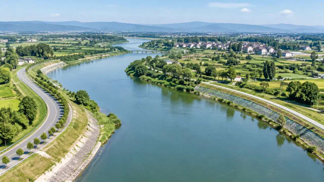
Airports occupy flat land until they do not. A gentle cross slope can push a service road into a cut, and a low corner can collect water that has nowhere to go. A terrain surface in the same scene as the apron shows whether a new cargo pad sits above the surrounding drainage or below it.
Civil engineers will confirm the levels. The site team needs to know which questions to send them.
3 Hand layers to BIM, GIS and simulation teams
3.1 Which team takes which layer?
GIS teams usually take the site layer, with buildings, pavement, vegetation and terrain in a georeferenced frame, often through an open exchange format such as CityGML from the Open Geospatial Consortium. BIM teams take the terminal, pier and support buildings as authored objects. Simulation teams take a simplified version of both, because a detailed model slows a flow or passenger study without improving it. Write the split into the project plan, along with the format each team expects, so the handoff does not depend on memory.
3.2 What has to be rebuilt before a simulation runs?
Simulation models need simplified geometry, defined zones and assumptions about occupancy or aircraft movement. None of that comes from a context scene. The site twin supplies the envelope and the relationships; the simulation team rebuilds the interior volumes, checks the units and sets boundary conditions. Skipping that rebuild produces a model that looks complete and runs on the wrong assumptions.
Agree on units and a shared origin before the rebuild starts. A scene exported in meters and a simulation built in feet gives a plausible model with wrong dimensions, and the error survives until somebody checks a known distance.
4 Respect currency, security and publication limits
4.1 How current is a map-derived airport scene?
Map and satellite sources update on their own schedules, and airport sites change quickly during a construction program. A new pier, a relocated service road or a closed stand can be missing from imagery that is a year old. Check the capture date, compare the scene with the operator's as-built records and the latest site photographs, and note where they disagree. Currency is a question about the source, not a property of the software.
Ask the operator which records the meeting will trust before a workshop. As-built drawings, pavement condition surveys and the airport's own GIS often disagree at the edges of a site, and the team needs to know which of them the discussion will follow.
4.2 What should stay out of a public view?
Operational detail: stand assignments, security layouts, fuel farms, access control points and anything the operator treats as sensitive. A context scene built for a public consultation needs those layers removed, and the removal should be checked by the operator. Many airports have their own review process for published imagery, and a site team should ask about it before a render appears in a brochure.
5 Build an initial context scene at the boundary
A generated scene gives the site team that shared frame without waiting for survey mobilization. GenAnywhere turns the selected area into an editable model, with building footprints, estimated heights, inferred types, vegetation and terrain fitted to the ground. Terminal blocks, cargo sheds and surface parking arrive as separate buildings that can be moved, rotated or replaced, and the layers for buildings, terrain and vegetation can be previewed and managed on their own. The result is context for a workshop, and it should be labeled that way.
5.1 What can a generated scene show inside an airport boundary?
You can see how the terminal mass sits against the apron, where the access roads run, and how surrounding development affects the approach views. Swap a cargo building, change a height, or rotate a block to test an alternative without redrawing anything. This is AI 3D generation used for context, and it is worth saying so in the slide title, because a scene can look more finished than the information behind it.
When the layout settles, the scene exports as a general GLB file for 3D, BIM, GIS and game engine workflows, which lets the GIS and visualization teams continue in their own tools. Teams already working in Revit, Rhino, SketchUp, ArcGIS Pro or Unity will find their own import settings matter more than the export itself, and the workflow tutorials show the direction each path takes.
5.2 What does the scene leave to the survey team?
Pavement levels, stand geometry, obstacle limitation surfaces and buried services come from surveyed data and the operator's records. A map-derived scene cannot carry them, and no one should treat it as a substitute for an aerial survey or a ground survey when the project needs current conditions. The scene shows relationships at site scale. The survey confirms them, and the two should be compared rather than merged without a note.
Curious how far a boundary scene can go? Generate a site context model in the GenAnywhere app and compare it with the airport's own records.
6 Keep the twin useful after handover
6.1 What does the site team hand over?
A scene file, a provenance note, the layer split and a list of open questions. The note should name the source imagery, the date, the platform settings used and the person who reviewed the output. The layer split tells the receiving teams what they own. The open questions are the most valuable part, because they show where the context scene reached its limit.
6.2 How often should the context scene be refreshed?
Refresh it at phase boundaries: when a study becomes a project, when construction starts, and when the operator changes the airside layout. Calendar-based refreshes tend to produce files nobody opens. Tie the update to a decision that depends on the scene, and record what changed between versions so the comparison stays meaningful.
6.3 What signals that the twin has drifted?
New construction that appears in photographs but not in the scene, roads that have moved, and stands that no longer match the operator's chart. Drift is normal on an active airport. The risk lies in a scene that keeps circulating after its source data has aged, so add the capture date to the file name and to the title block of any drawing that uses it.
See how exported scenes move into BIM, GIS and simulation workflows.
7 Questions airport site teams ask about twins
FAQ-1 Does a site twin need a game engine?
Not necessarily. A game engine helps when the team needs interactive walkthroughs, but a GIS viewer or a BIM authoring tool can carry the same site layers for many review tasks. Choose the environment the reviewers already open, then plan the export around it. The scene should travel between environments as a general 3D file, and the receiving team decides how much detail to keep.
FAQ-2 Can we load the airport's own CAD or GIS data into the scene?
Often yes, as a reference layer added after the scene is generated, and the operator's terms decide how that data may be used. Keep the airport data separate from the generated layers so each source stays traceable. Where the operator restricts distribution, the scene may need to stay inside a controlled environment. Ask before the workshop, not after the file has been shared.
FAQ-3 Is a site twin useful before an expansion study?
That is where it earns its place. An expansion study needs options compared quickly, and a site-scale scene lets a team test where a pier extension lands, which roads take the construction traffic and how the terminal edge meets the apron. Once an option is chosen, survey and design take over. The scene keeps its value as the record of what the team considered at the start.
FAQ-4 Can the scene stand in for an aerial survey?
No. A generated scene is built from map and satellite data and does not replace an aerial or ground survey where the project needs current, measured conditions. Use it to frame the survey brief, decide which areas need coverage and check the survey results against expectations. For obstacle surfaces, pavement geometry and utilities, the operator's records and the survey remain the reference.
Content and technical notes
This article was prepared by the GenAnywhere team with AI-assisted drafting and human review.
Product features, formats, and availability change as the platform evolves; refer to the official GenAnywhere website for current details.
For technical questions or corrections, contact support@genanywhere.com.
Last reviewed: 2026-11-06.