
Grid planning reviews: where GenAnywhere sets the base scene
The base is the ground and the neighbours a planning review agrees on, before any tower, line or compound is drawn.
GenAnywhere sets the base scene for a grid planning review: the ground, the water, the vegetation and the building masses around a site or along a corridor, generated from map data and editable before the meeting. The base is the shared reference everyone argues against. Tower positions, conductors, switchgear and the network model are not in it, and the review is clearer when that is said at the start. That framing keeps a base from being mistaken for a proposal or a constraint map.
1 What a base scene is for
1.1 One picture everyone accepts
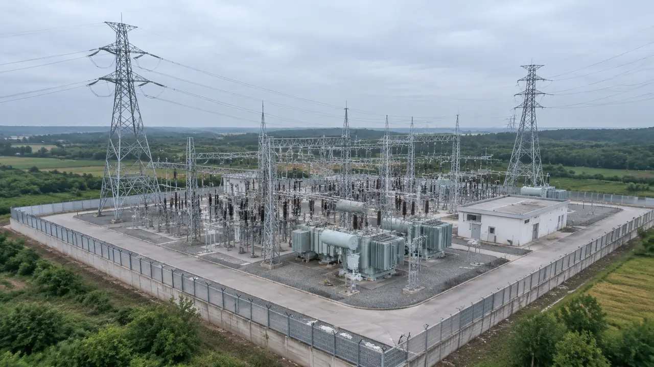
A planning review needs one picture that every participant accepts as the place being discussed. The base scene does that job: it holds the site and its surroundings without proposing anything. A planning officer, a land agent and a line engineer can all point at the same slope and mean the same slope. Without that shared reference, each group arrives with its own map and the meeting spends an hour reconciling them, so write the extent on the slide and nobody will wonder what sits outside it.
1.2 The four layers it holds
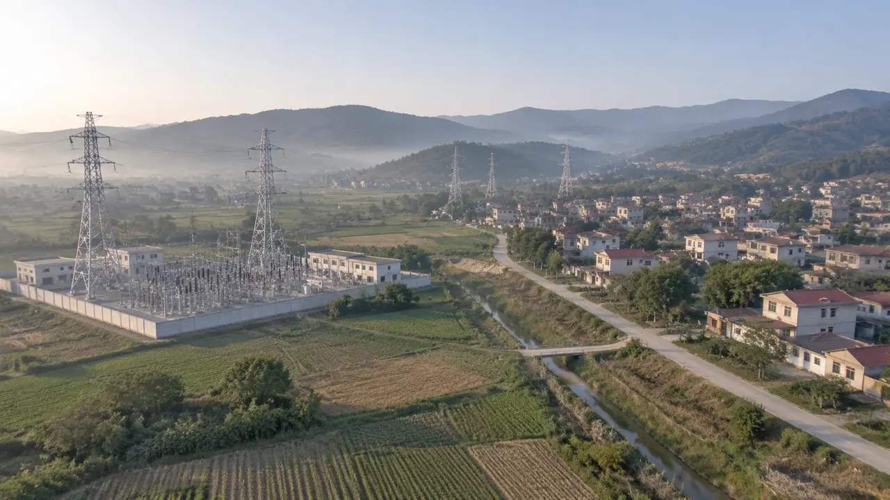
The base carries terrain from the mapped surface, water where the imagery shows it, vegetation inferred from imagery, and building masses with footprints and estimated heights. Those four layers are the whole content. Anything else in a grid review, from a pylon to a control panel, is added by a design team. The platform overview lists the generated set, and the list is short by design, which makes it easier to defend than a longer one and easy to hold in mind at a glance.
2 Framing the base
2.1 Site, corridor or both
A base can cover a substation site, a corridor, or both as separate files, with a site base supporting questions about land take, access and what the compound looks like from the road. A corridor base supports questions about crossings and neighbours along a route. Combining them in one selection produces a coarse site end, which is usually the end under discussion. Two files, named by area, serve the review better than one compromise, and the site one deserves more care since that is where the detail will be questioned.
2.2 Edges and the nearest neighbours
The edge of a base is visible, and reviewers notice when it cuts through something they know. Choose a boundary that follows a road, a river or a field line, and keep the subject away from the edge. Neighbours near that line matter more than distant ones, since most planning objections come from the nearest few hundred metres. A base that ends at a fence with nothing beyond it invites the question of what was left out, so pull the edge to the next field line.
3 The base as neutral ground
3.1 Planning and land audiences
Planning and land audiences read a base differently from engineers. They look for the approach road, the nearest houses, the trees that screen the compound and the ground that would be taken out of production. The base answers those questions at a glance. It cannot say who owns the land, what it is zoned for or whether a proposal would be acceptable, and those answers sit in the documents the review is meant to inform, so ask which question the session is there to answer and frame for that one.
3.2 Keeping base and design apart
The base stays useful while it stays neutral. Once a tower line or a compound layout is drawn into it, the picture becomes a proposal and the argument shifts. Keep the design in a separate group in the downstream tool, so it can be hidden while the ground is discussed. That habit also lets the same base serve two design options without regenerating the site, and a base that is reused is a base that was kept clean.
4 Corrections that keep the base honest
4.1 Buildings that changed since the imagery
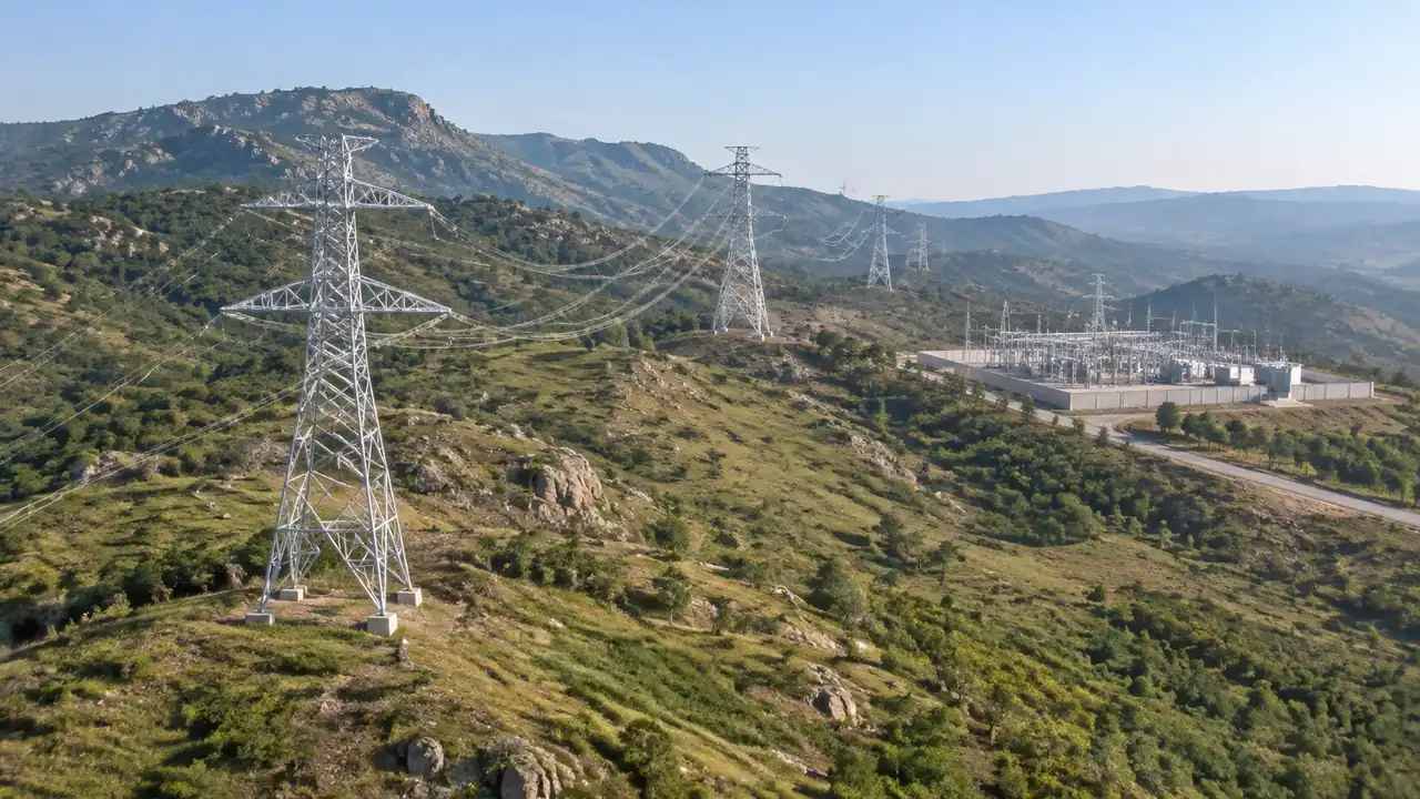
Correct the buildings that changed since the imagery: a new store, a demolished workshop, an extended office. Each edit is quick, and each one removes a distraction from the review. Keep a list, because the scene will not mark which masses came from the map and which came from you. In a planning context that list is part of the record, so present the corrected base and the list together and the audience knows what it is looking at.
4.2 Layers and the date underneath
Terrain, buildings and vegetation can be shown separately, which lets a review answer one question at a time. Hiding vegetation exposes the ground and the fence line; hiding buildings shows the land before anything stood on it. The imagery date limits all of it, and a grid site can change in a year. State the date whenever the base is shown, mark any area where you know the capture is older, and remember that a dated base is a document rather than a picture of unknown age.
5 From base to design
5.1 Into a GIS
Base scenes usually travel into GIS, where they sit under constraint maps, ownership layers and route options. The export is a GLB, so it may arrive as a single object or split into layers, depending on the import settings. Test that once with the receiving team's own software, and fix the layer structure at import rather than after the maps are loaded. Organisations such as the OGC publish standards work on how spatial data is described and exchanged, and that is the world the base is joining.
5.2 What the design adds
The design team adds what the base deliberately lacks: tower positions, conductor runs, switchgear, fencing and the electrical model behind them. Those items carry their own data, versions and checks. Placing them against the base gives the review a picture that is part context, part proposal, and the caption should say so. Ask for the design as a separate file with a version number, so a change to a tower type does not force the base to be rebuilt.
Open the GenAnywhere app and set a grid base
6 Signing off the base
6.1 Naming and version
Name the base by the place and the purpose, not by the export time. A substation base, a corridor base and a consultation base are three different files, even when they overlap. Keep a version number and a one line note on what changed. Grid projects run for years, and a folder of files called base final is the usual reason a review starts by rebuilding what already existed, so keep the imagery date next to the version number.
6.2 Assets the base does not hold
List what the file does not contain: towers, conductors, insulators, transformers, busbars, switchgear, access tracks and construction compounds. Each belongs to a design or equipment library and each has an owner. The list keeps a base from being read as a site model and tells the receiving team what to bring to the opening session. It also makes the boundary of the base explicit, which is the point of a base, and a list with owners turns an absence into a task.
6.3 Export and the terms of reuse
Preview the scene and export a GLB. The file holds terrain, water, vegetation, building masses and your corrections, and it opens in 3D, BIM, GIS and engine workflows with the usual differences at import. Check the scale and origin once, since the licence is permanent and commercial with limits on reselling raw files and on training models with them, and note the imagery date in the covering message. A quick check now saves a rescale in front of a client, so read the authorization statement before a client asks about reuse.
7 FAQ
FAQ-1 What is in a grid base scene?
Terrain, water, vegetation and building masses with estimated heights, all generated from map data for the area you select. That is the full content. It carries no towers, conductors, switchgear or network data. Think of it as the ground and the neighbours a planning conversation needs, with everything designed kept in a separate file and a separate version, while nothing in the base is a proposal or has been surveyed for one.
FAQ-2 Is the grid network part of the base?
No. The base has no electrical model, no load flow, no protection settings and no line design. Those live with the engineers who maintain them, and they are added downstream as overlays or separate models. A review that mixes a network diagram into a site view tends to produce questions neither document can answer, so keep the two on separate slides with a source line under each and a date that matches the site.
FAQ-3 Can planning reviewers treat it as evidence?
It is a context view, not an approval document. Heights are estimates, imagery has a date, and nothing in the scene has been surveyed for the purpose. Use it to orient a discussion, then point to the drawings, surveys and studies that carry the formal weight. Saying that early protects the scene from being asked for something it cannot give, so say what it is for and the audience will use it for that.
FAQ-4 How long does a base stay current?
Until something visible changes or the imagery ages past usefulness. A new building, a widened road or a cleared site is a correction; a base that is several years old needs its date stated plainly. Regenerate when the changes outnumber the corrections, and keep the older file if a past review still refers to it. If two reviews use the same base, note which version each one saw, since the date is the part to check before reuse.
See how a grid base moves into a planning workflow
Content and technical notes
This article was prepared by the GenAnywhere team with AI-assisted drafting and human review.
Product features, formats, and availability change as the platform evolves; refer to the official GenAnywhere website for current details.
For technical questions or corrections, contact support@genanywhere.com.
Last reviewed: 2026-11-13.