
Contech on a Foster City campus: what GenAnywhere adds
How a construction-technology pilot can plan around a working campus instead of around a slide.
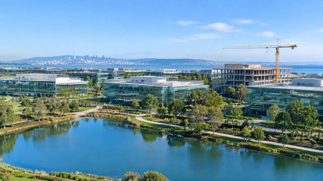
A construction-technology pilot on a corporate campus has to prove two things at once: that the tool works and that the campus keeps running. The site is occupied, the parking is used, and the neighbors notice every delivery. GenAnywhere gives the pilot team an editable 3D view of the campus and its edges, so the plan can be tested against the real place before work begins.
1 What a campus pilot has to prove
A pilot is a bounded experiment. Treat it as one, and it will not drift into a small version of the full project. It needs a clear question, a defined area, and a way to measure disruption as well as progress. Teams that skip those boundaries end up arguing about scope instead of results. Define the experiment before selecting the technology.
1.1 Define the pilot boundary
Choose one building, one service yard, or one phase of work. Mark the boundary on the site plan and on the model. Decide which spaces stay occupied and which can be released. Write the boundary on a shared drawing and keep it in the pilot folder. Facilities, security, and the vendor should use the same line. A boundary that lives in a single slide will drift.
1.2 Separate occupied space from work zones
Draw the occupied areas and the work zones as different layers. Mark the doors, paths, and parking that must remain open. A construction-tech trial can fail simply because it blocks a lunchroom entrance or a fire lane. Check the fire lanes and the accessible routes before anything else. A pilot that blocks either one will be stopped, regardless of how well the technology performs. The model makes those routes easy to see.

2 The campus is a live site
A campus stays in use while the work happens. People arrive, park, meet, eat, and leave on a daily rhythm. A pilot that ignores that rhythm creates friction even when the technology performs. Site logistics deserve the same attention as the technical trial.
2.1 Map daily routes and parking
Trace the walking routes from parking to entrances, and from buildings to the cafeteria and transit stops. Note the peak times. Identify the spaces that cannot be reassigned without a long approval chain. Talk to the people who use the campus every day. They know which entrance is busy and which path is a shortcut. Add their comments to the route map and test the plan against them.
2.2 Plan laydown and deliveries
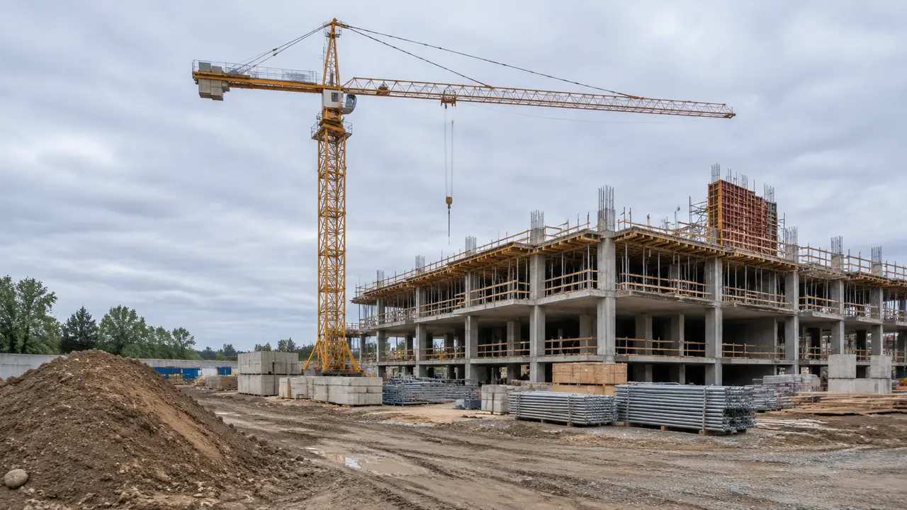
Find a laydown area that does not consume visitor parking or block a service drive. Plan delivery windows around shift changes and school traffic. Check the turning radius for the largest vehicle the pilot will use. Keep a delivery calendar beside the model. The calendar shows when a closure would collide with a move-in, a graduation, or a major meeting. The spatial plan and the calendar should be reviewed together.
3 Where a model helps the pilot
The model is a shared reference for facilities, the pilot team, and the technology vendor. It shows the campus as a set of layers rather than a flat drawing. GenAnywhere can build that reference from map-selected context and keep it editable as the pilot evolves.
3.1 Build existing conditions from map data
Select the campus and a band around it, then generate the scene. GenAnywhere identifies building footprints, estimates heights, infers types, and reads vegetation, while terrain and water remain separate layers. A planner can replace a test building, move a laydown area, or adjust a mass to study the view from a neighboring office. Keep the source layer separate from the pilot design so the team can tell what exists and what is proposed. A clean separation prevents a test shed from becoming a permanent assumption.
3.2 Compare phasing options
Test two or three phasing sequences in the same frame. Show where equipment sits in each phase and which routes stay open. Compare the duration of each closure and the number of people affected. Write a short note for each phase listing the routes that stay open. The note becomes the basis for the campus announcement. If a route changes, update the note and the model on the same day.
4 Measures that belong outside the model
A site model cannot measure productivity, safety performance, or code compliance. Those measures belong to the pilot's own evaluation plan and to the authorities with jurisdiction. Keep the model focused on space and access, and let the other measures have their own owners.
4.1 Keep safety and compliance in their own track
National Institute of Building Sciences resources are a useful reference for separating project delivery questions from building performance questions. The pilot team should confirm permits, fire access, and worker safety with the responsible parties. Ask the authority what it needs to see before the pilot starts. The answer may be simpler than the team expects. A short conversation at the start avoids a late scramble for approvals.
4.2 Agree on what success means
Write the pilot's success criteria before work starts. Include time, cost, quality, and disruption measures that the team can actually observe. Assign a person to each measure. Keep the baseline data in the same file as the success criteria. A result without a baseline is hard to interpret. The pair makes the final review easier to defend.
5 Handing the pilot to operations
The pilot ends with a decision: adopt, adjust, or stop. Whatever the outcome, the site knowledge should remain with the campus team. A clean handover makes that possible and keeps the next pilot from starting over.
5.1 Export a shared scene
Name the layers and remove test variants before export. GenAnywhere can export the scene as GLB for common 3D, BIM, GIS, and game-engine workflows. The campus facilities team can then keep the context for future projects and add its own asset data. Ask the facilities team to test the file before the pilot closes. A file that opens on the vendor's laptop may fail on the campus system. The test is quick and prevents a handover gap.
5.2 Write a short handover note
Summarize the pilot boundary, the phasing that was tested, and the assumptions that changed. Include the locations that caused the most disruption. Include the names of the people who approved each phase. A note without owners is hard to act on later. The names also help the next team find the right contact. Review the workflow when the team sets up that record.
6 Running a campus pilot without disruption
The campus is the client as much as the pilot sponsor. A plan that respects daily operations is more likely to be adopted and repeated. GenAnywhere can support the spatial side of that plan with a scene the whole group can review. Open the app when the pilot boundary is defined.
6.1 Phase by block
Break the work into blocks that can be closed and reopened without stranding people. Sequence the blocks so that a closure in one area does not push all traffic into another. Keep a buffer for weather and delivery delays. Check the phasing against the academic or business calendar. A closure during a quiet week is easier to absorb than one during a peak. The calendar is part of the site plan.
6.2 Review weekly
Hold a short weekly review with facilities, security, and the pilot lead. Compare the planned closures with what actually happened. Update the model when a route or a laydown area changes. Keep the weekly review short and focused on changes. A long meeting that repeats the plan wastes the campus team's time. Three questions are enough: what moved, what broke, and what needs a decision.
6.3 Keep claims modest
A successful pilot on one campus does not prove a technology across a portfolio. Report what was observed and what remains uncertain. Avoid turning a local result into a general promise. Record the limits of the pilot in the final note.
State what was tested, what was not, and what the campus should watch. A clear scope protects the team when the results are discussed elsewhere. Keep the note short and concrete, and store it with the pilot files.
7 FAQ
FAQ-1 Does the model replace a campus survey?
No. It provides initial site context from satellite and map data. A campus survey may still be needed for utilities, grades, and interior conditions. Use the model to plan where those surveys should focus. Confirm the source and date of the context before relying on it for design or construction.
FAQ-2 Can the pilot team use the model for permits?
The model can support a permit conversation by showing context and access, but it is not a permit set. Local authorities set the required drawings and studies. Confirm early which drawings and studies the local authority will require, assign each item to a named person, and record the answer in the pilot file.
FAQ-3 How do we keep the campus informed?
Share a simple map of closures, routes, and delivery windows, and update it when things change. Use the model to make one or two views for the campus newsletter or intranet. Keep the language plain. Keep one channel for updates and use the same map in every message, so the campus does not have to reconcile competing versions.
FAQ-4 What should we measure after the pilot?
Measure the things the pilot set out to change, plus the disruption it caused. Include access, parking, noise, and the number of schedule changes. Compare the results with the baseline you recorded before work started. Share the review with the people who lived through the pilot, because their observations often explain the numbers.
Content and technical notes
This article was prepared by the GenAnywhere team with AI-assisted drafting and human review.
Product features, formats, and availability change as the platform evolves; refer to the official GenAnywhere website for current details.
For technical questions or corrections, contact support@genanywhere.com.
Last reviewed: 2026-11-19.