
Flood-prone districts: what GenAnywhere changes in block layouts
Seeing where water can go before a block plan fixes the streets and the open space
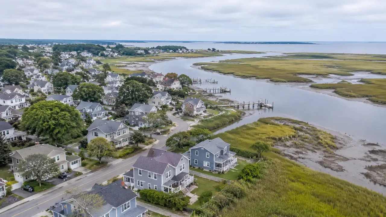
In a flood-prone district, the block layout is a water decision as much as a design decision. Streets, courtyards, and open lots either give water somewhere to go or push it into the wrong places. GenAnywhere can show the blocks in context, so a team can compare layouts against the ground before the plan is fixed.
1 What flood-prone ground asks of a block layout
1.1 Give water somewhere to go
A block plan changes how water moves across a district. Buildings and walls displace storage, streets become channels, and open ground either absorbs water or sheds it. A layout that ignores those effects can raise the risk for the neighbors downstream. The point is not to solve hydrology in a site plan.
It is to avoid making the problem worse by accident. A useful exercise is to draw the path a drop of rain would take across the proposed plan. If that path ends in a basement or a road underpass, the layout has work to do. The exercise takes a pencil and a plan, and it changes how people read the layout.
1.2 Focus on the choices that matter
The size and position of open space, the orientation of streets, and the amount of ground left unpaved all matter. So does the placement of essential services, because a clinic or a substation in the wrong block becomes a failure point. Those choices can be tested at the block scale without waiting for a full engineering study. They belong in the conversation from the start. Test the choices against the local flood history, not just the design storm, because repetition matters as much as depth. The block plan should leave room for those choices to change.
2 Reading a district block by block
2.1 Preserve open space and flow paths
Walk the district and mark where water already collects. A low corner, a blocked culvert, or a street that holds water after rain tells you more than a contour line. Compare those places with the proposed open space. If the plan puts a playground in a known ponding area, the design has a problem that planting will not fix. Talk to residents about where water stands after a storm, since their memory often covers events that no map records. Mark those places on a simple map and keep it with the block plan, because anecdotes become evidence when they are located.
2.2 Balance density and exposure
Density affects how many people and assets sit in the floodplain, and exposure affects how quickly they can leave. A compact block may be easier to serve and harder to evacuate. A spread-out block may drain better and cost more to connect. Neither pattern is right on its own.
The choice depends on the depth, the frequency, and the routes out. Ask how emergency services would reach each block, because a route that floods early can make a dense block feel remote. A block that can be served and left without crossing low ground is easier to defend in a review.
3 Seeing blocks in context
3.1 What GenAnywhere can show
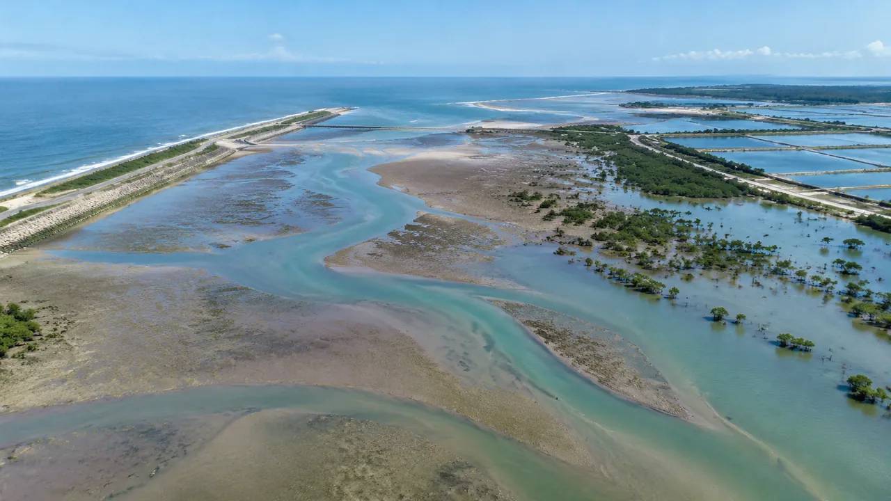
GenAnywhere generates an editable 3D site model from satellite and map data for a selected area. It identifies building footprints, estimates height, infers type, and reads surrounding vegetation. Buildings, terrain, water, and planting arrive as separate layers that can be previewed and edited, and the scene can be exported as GLB. For a district study, a user can place simple block volumes and see how they sit against the existing streets, the water edge, and the low ground.
3.2 What it cannot model
The scene does not simulate rainfall, calculate flood depth, or size a drainage network. It does not replace a hydraulic study or a survey. Those questions need engineers and current data. The model helps a team see the shape of a district and test whether a block layout is worth studying further.
It should not be presented as a flood analysis. State the boundary when the scene is shown, because a visual that is mistaken for a flood map can do more harm than good. The value of the scene is in the comparison, not in the realism of the rendering.
4 Comparing block layouts
4.1 Use the same baseline for every scheme
Show every scheme at the same scale, from the same camera positions, with the same ground. A layout that looks greener because its model includes more trees has not earned an advantage. Fix the layer set and the view, then compare how each scheme treats open space, streets, and the water edge. The comparison should expose differences in land use, not differences in presentation. Keep the same ground layer for every scheme, so changes come from the blocks rather than the base. Print the views at the same size, or the eye will reward the larger image.
4.2 Record the tradeoffs
Record what each layout gains and gives up. One scheme may keep more open ground and build taller. Another may spread buildings and lose walkability. Write the tradeoff and the assumption behind it, then revisit the list when the flood data improves.
A short log keeps the discussion from restarting at every meeting. Name the person who owns each assumption, and revisit the log when a study lands. A tradeoff that is written down can be tested later against the flood study.
5 Working with drainage and planning teams
5.1 Questions for drainage engineers
Ask where the district drains, what the design storm is, and which flow paths cannot be blocked. Ask how the proposed open space relates to the existing network. Bring a block plan with the low points marked, so the engineer can respond to specific geometry. Ask for the drainage model in plain language.
A short explanation of where water goes is worth more than a thick report at this stage. Ask whether the open space can hold water without losing its daily use. The US Geological Survey water resources program publishes background data that can help frame local questions.
5.2 Questions for planners
Ask about zoning, density limits, and any overlay that applies to the floodplain. Ask how the district plan treats evacuation routes and essential services. Confirm what the review process expects at each stage. A block layout that ignores those rules will be redrawn, however well it handles water. Bring the block plan to the counter and ask which parts would need a variance, since it saves a submission later. Ask which blocks the city considers essential during an emergency.
6 When a block layout should change
6.1 Redraw when the signals appear
Redraw the layout when a proposed block sits in a known flow path, when the open space is too small to store water, or when the sole evacuation route passes through the lowest ground. Those signals are visible before a study is complete. Acting on them early gives the engineers a better scheme to test. A redraw is cheaper before the streets are engineered, so treat the warning as a gift rather than a setback. Write the reason next to the block, so the next version can show it was addressed.
6.2 Document the low points and gaps
Keep the scene, the low-point map, the assumptions, and the questions that remain open. Note which parts of the plan depend on drainage improvements outside the site. A reviewer should be able to see why a block moved without reopening every drawing. The record also helps when the district plan is revised. Keep a short index of files and dates, since the detail lives in the scene and the studies. A one-page summary is enough for most reviews.
6.3 Hand the scene to the wider team
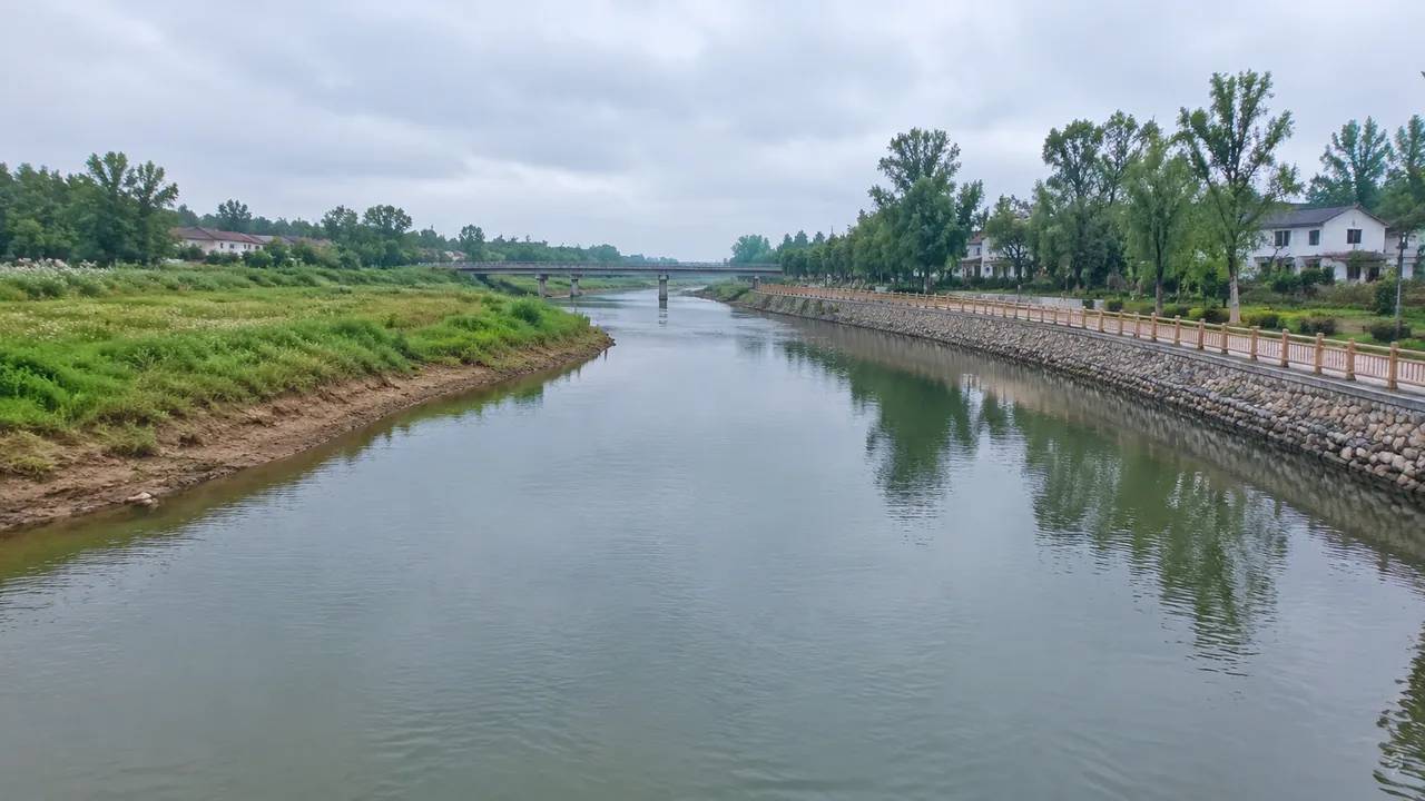
Export GLB for the design and planning teams, and keep the layered scene for edits. Add a short note on the flood assumptions and the sources behind them. The receiving team can open the context in its own software and start from the same picture. The district group keeps a record of what was shared. Ask what software the receiving team uses, and choose the export accordingly. Label the export with the district, the date, and the scheme.
Generate a site model from a map
7 FAQ
FAQ-1 Can a 3D scene help with flood-prone district planning?
It can help a team see how blocks, streets, open space, and water edges relate on the ground. That is a land-use question, and it comes before hydraulic analysis. A scene makes the relationships easier to discuss with residents and reviewers. It does not calculate flood depth or drainage capacity.
FAQ-2 Does GenAnywhere model flooding?
No. The platform generates a site scene from map and satellite data, including terrain and water as layers. It does not simulate rainfall or predict inundation. Flood modeling needs engineering methods and local data. Keep the scene as context and put the analysis in the right hands. That keeps the tool useful and the analysis honest.
FAQ-3 What should a block layout preserve in a flood-prone area?
Preserve flow paths, low ground that can store water, and routes that stay usable during a flood. Keep essential services out of the most exposed blocks. Leave room for drainage improvements even if they are built later. Those choices are easier to protect early than to recover after the plan is fixed.
FAQ-4 Is the exported model suitable for a drainage study?
No. A drainage study needs survey data, rainfall records, and hydraulic modeling prepared to engineering standards. A GLB scene is a visualization and layout aid. Use it to frame questions for the engineer, and keep the formal analysis separate from the site context. Ask the engineer what the study needs before the scene is adapted.
See how the site workflow fits together
Content and technical notes
This article was prepared by the GenAnywhere team with AI-assisted drafting and human review.
Product features, formats, and availability change as the platform evolves; refer to the official GenAnywhere website for current details.
For technical questions or corrections, contact support@genanywhere.com.
Last reviewed: 2026-11-14.