
Data center zoning: comparing sites with GenAnywhere
A site method for power, access, buffers, and the questions a board will ask
Data center zoning decisions arrive at a planning desk as a set of parcels, a power figure, and a schedule. The differences between the sites are often about edges: how close a hall sits to a neighbor, how trucks reach the yard, and how the campus looks from the road. A shared three-dimensional scene helps a team compare those differences before the application is written.
1 Screen the region before the parcel
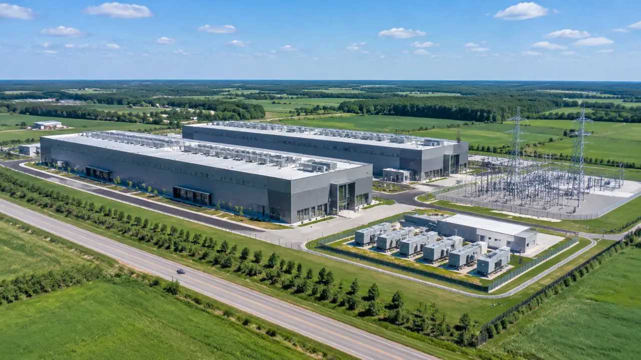
A site that cannot reach power or fiber will not become a data center campus, no matter how good the parcel looks. Start at the regional scale and remove the sites that fail the basics. That step saves the team from detailed work on parcels that cannot proceed.
1.1 Read power and fiber at a regional scale
Plot the substations, the transmission lines, and the main fiber routes on a regional map. Then mark the candidate parcels and the distance to each connection. The map will not settle capacity or cost, but it shows which sites are close to the infrastructure and which need a long extension. Ask the utility and the network providers for their own constraints before treating a line on the map as available.
1.2 Rule out sites that fail the basics
Remove parcels that sit in a floodplain, lack a viable access road, or are surrounded by uses that will resist a campus. A quick pass with public data is enough at this stage. Keep a short note on why each site was dropped, because the reasoning will be questioned later. Aim for a short list of sites that deserve a visit and a model, not a ranking of every parcel in the region.
2 Compare parcels on the same terms
Once the list is short, the comparison has to be consistent. Each site should be tested with the same building mass, the same yard, and the same access assumptions. Otherwise the team ends up comparing drawings rather than sites.
2.1 Test building mass and setbacks
Place a representative hall in GenAnywhere on each parcel and look at the distance to the property line. A data center needs space for screening, drainage, and service yards, and those needs vary with the shape of the parcel. A long narrow site may fit the hall but leave no room for the generator yard. A wide site may offer a better buffer but a longer utility run. Draw both and compare the usable area that remains.
2.2 Check truck and staff access
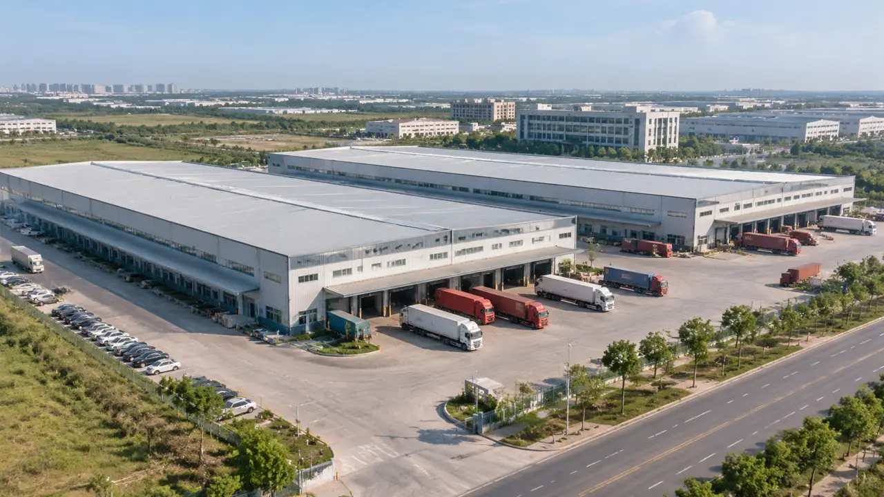
Deliveries and staff arrive at different times and in different vehicles. Test the route from the public road to the loading area and the route from the parking lot to the entrance. A sharp turn or a shared lane can create a conflict that the plan does not show. Look at the queue space at the gate and the turning circle for a trailer. If the access fails on the model, it will fail on the ground.
GenAnywhere builds the base scene from satellite and map data. Select an area, and the platform generates an editable model with building outlines, estimated heights, inferred types, terrain, and vegetation. Teams can replace a building, move or rotate it, and adjust its height or type. That makes it practical to test the same hall on several parcels without redrawing each site by hand.
3 Manage the edge with the neighborhood
Data centers are quiet most of the time and busy at the edges. The visual and acoustic buffer is a zoning issue, and it is easier to design when the site is seen in three dimensions.
3.1 Use terrain and planting as a buffer
Look at the ground between the hall and the nearest homes or businesses. A slight rise, a row of trees, or a berm can soften the view and reduce the apparent scale of the building. Test the buffer on the model from the neighbor's side, not from the highway. A screen that works from the road may leave the hall fully visible from a nearby street.
3.2 Plan the generator and cooling yards
Generators, cooling equipment, and fuel storage take space and produce noise. Put them on the model and check their distance from the property line and from the staff areas. The yard should be reachable for maintenance without crossing the visitor entrance. If the equipment is hidden behind the hall, the service route may become long and awkward. A yard that looks tidy on plan can be a daily problem in operation.
4 Plan water and drainage early
Water is a zoning question as much as an engineering one. The site has to manage stormwater, and the cooling strategy may add another demand. Early decisions about ponds, swales, and discharge points shape the layout.
4.1 Separate clean and dirty water
Mark the roofs, yards, and roads that will generate runoff. Then identify the low points and the discharge routes. A detention pond can be a landscape feature if it is placed well, but it can also take land that the campus needs. Keep the pond away from the loading yard and the generator yard so a storm does not disrupt operations. The model shows the grades and the space each option requires.
4.2 Keep the site workable in a storm
Check the access road and the main yard against the local flood elevation. A site that floods at the gate may still be usable if the critical equipment sits higher, but the staff and the deliveries need a dry route. Test a raised access road or a different gate location on the scene. Those changes are cheaper to find now than after the site plan is approved.
5 Stage the campus as demand grows
Few data centers are built in one step. The plan usually reserves land for later halls, and the zoning application has to show that the reserve is realistic. Staging also affects how the live campus operates during construction.
5.1 Reserve land for later halls
Draw the future halls on the scene and check that the reserve does not conflict with the buffers, the drainage, or the access. A reserve that looks generous on paper may block the single expansion route for the utility yard. Keep the reserve in a separate layer so the review can see the current phase and the future phase together. That view helps the board understand what the site will become.
5.2 Keep construction away from live halls
Construction traffic, cranes, and laydown areas need space that does not cross the operating campus. Test a construction route and a laydown yard in the GenAnywhere scene, then check them against the staff parking and the loading area. If the sole route passes the main entrance, the plan needs a temporary road or a different sequence. The staging plan is part of the zoning story, not a detail for later.
6 Build a zoning package reviewers can use
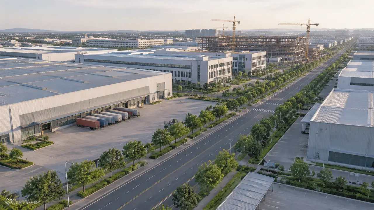
The zoning package has to answer questions from planners, neighbors, and the utility. A clear scene and a consistent set of measures will carry more weight than a long narrative.
6.1 Show the same measures for each site
For every candidate, report the same items: distance to the property line, buffer width, access route, flood exposure, and the area reserved for future halls. Put the measures in the same order and use the same view. When the format changes between sites, the comparison becomes an argument about presentation. A consistent package lets the reviewer focus on the trade-offs.
6.2 Export for the engineering team
Preview the chosen scene, then export a GLB for the civil, structural, and MEP teams. The file can open in Revit, Rhino, SketchUp, Blender, ArcGIS Pro, GISBox, Unity, Unreal Engine, or Wings Engine. Check the scale and the orientation in the receiving tool before the design starts. The GenAnywhere app is where the scene is built, and the workflow page shows how the export fits into those tools. For the geospatial side of the package, the ASPRS resources cover imagery and mapping practice.
6.3 State what the study does not settle
The scene does not confirm power capacity, fiber availability, water rights, or the cost of extending a line. Those answers come from the utility, the network provider, and the local authority. List them as open items in the package and keep the assumptions next to the model. A zoning study that is clear about its limits is easier to defend than one that implies answers it does not have.
7 FAQ
FAQ-1 What should a data center site comparison include?
Include power and fiber proximity, access from the public road, buffer width to sensitive neighbors, flood exposure, and room for future halls. Test each site with the same building mass and the same yard so the comparison is fair. Add a note on what the study cannot confirm, such as capacity and cost. That set of measures gives a board enough to rank the sites and enough to explain the ranking to the public.
FAQ-2 How close can a data center sit to homes?
There is no single distance that works everywhere. The answer depends on local zoning, the height of the hall, the buffer, the noise from equipment, and the way the site is screened. Test the view from the nearest homes and place the generator yard away from them. Then check the proposal against the local code and the comments from the neighborhood. The model helps with the visual test, not with the legal one.
FAQ-3 Can the model show power capacity?
No. The model can show where the substations and lines sit, but it cannot confirm capacity, interconnection cost, or the time to energize. Those answers come from the utility. Use the scene to compare the distance and the route to each connection, then ask the utility for the numbers. Keeping the two kinds of information separate prevents a good-looking site from being mistaken for a feasible one.
FAQ-4 What file should the design team receive?
A GLB export is a practical handoff for the design team because it opens in many 3D, BIM, GIS, and game engine tools. Label the file with the site name, the version, and the date. Include the base scene and the assumptions so the team can see what was tested. Test the import in the software the team uses, because scale and layer names can change between applications.
Content and technical notes
This article was prepared by the GenAnywhere team with AI-assisted drafting and human review.
Product features, formats, and availability change as the platform evolves; refer to the official GenAnywhere website for current details.
For technical questions or corrections, contact support@genanywhere.com.
Last reviewed: 2026-11-18.