
Before data center siting: what site teams screen in GenAnywhere
What terrain, access, and edges reveal before a parcel shortlist
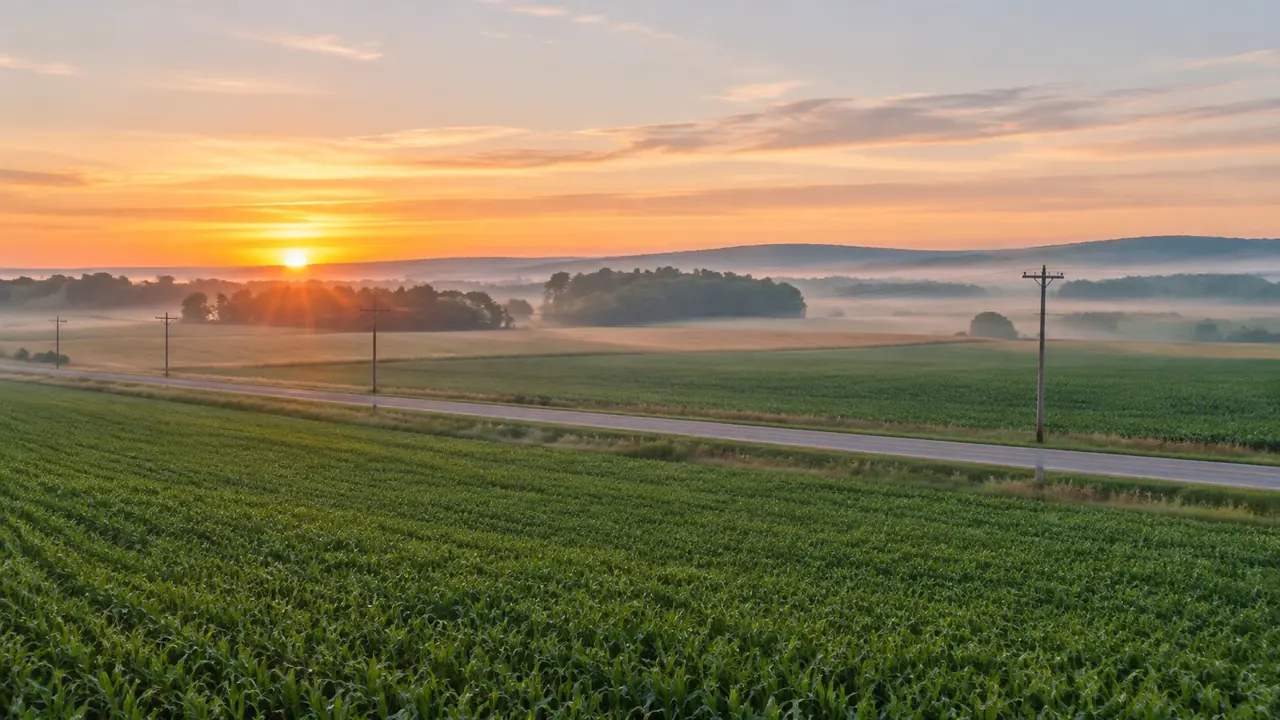
Most data center programs lose time on parcels that were never viable. A screening pass that reads the land, its access, and its edges can remove those candidates before they consume engineering hours. A shared 3D view makes the screening faster and gives the team something concrete to argue about.
1 What a screening pass is for
1.1 How does screening differ from siting?
Data center siting is a formal process with studies, criteria, and a record of why one parcel was chosen. Screening happens earlier and moves faster. It asks whether a parcel deserves a place on the shortlist, using information that is already available and questions that can be answered from the ground and its surroundings.
Keeping the two separate protects both. If screening tries to look like siting, it produces documents nobody trusts. If siting skips screening, the study list fills with parcels that fail on something visible from the road.
1.2 Which parcels should never reach the shortlist?
Some candidates fail on obvious conflicts. A parcel split by a highway, a site with no usable access, or a lot that sits mostly in a floodplain can be set aside early. So can a parcel too small for the halls, yards, and buffer the program needs, once those areas are drawn at a realistic size.
Other failures are less visible. A parcel may look large on a map but lose a third of its area to slopes, drainage, or setbacks. Drawing the program on the land shows that loss quickly, and it shows it before anyone commissions a study.
2 Reading land and water
2.1 How much flat ground does a parcel offer?
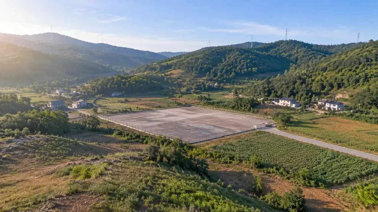
Data centers need large areas that are flat enough for halls, switchyards, generators, and truck courts. A slope of a few degrees across a long pad creates cut on one side and fill on the other, and both change drainage and cost. Reading the ground in 3D makes that trade visible without a contour map.
The usable area is usually smaller than the parcel. Buffers, access roads, stormwater facilities, and screening take land before any building does. Sketching those pieces at working size gives a more honest view of capacity than the acreage figure on a listing.
2.2 Where does water leave the parcel?
Water follows the low line, not the property line. A parcel that appears dry can sit below a road embankment or beside a ditch that drains a much larger area. Seeing the surrounding ground helps a team ask where stormwater would enter, where it would collect, and where it would leave.
Those questions belong to hydrology, and the scene does not answer them. What it does is put the parcel in its catchment, so a reviewer can see whether the obvious building pad sits in a low spot. That is enough to decide whether the parcel needs a closer look or a different layout.
3 Access, power, and neighbors
3.1 How do roads and lines shape a candidate?
Access decides more than distance to a highway. A candidate needs a route that construction traffic can use, a permanent entrance that meets the road at a workable grade, and enough queuing space to keep trucks off the public road. Those conditions are easier to judge when the road, the parcel, and the proposed yard are shown together.
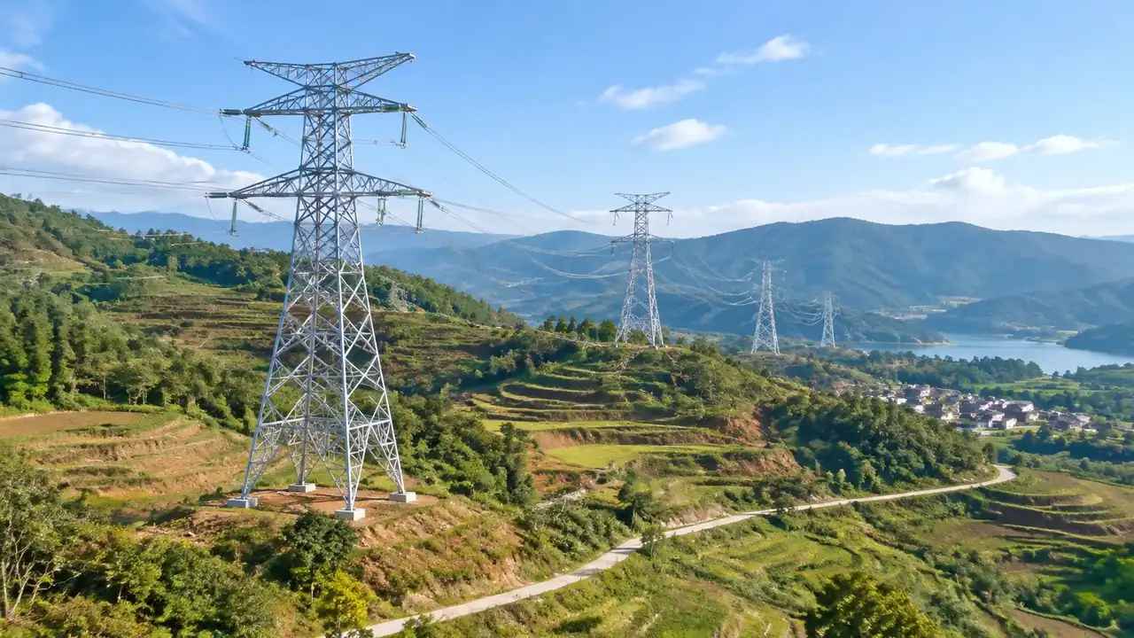
Power and fiber are usually mapped from records rather than read from imagery. A team can note where lines and substations sit relative to the parcel and how a route would reach the site. The scene will not confirm capacity or easement terms, and those checks stay with the utility and the engineering team.
3.2 Which neighbors set the tone?
Neighbors shape a data center project through noise, views, traffic, and local politics. A site next to warehouses faces a different conversation than one beside houses or a school. Screening should record what sits within a short distance and what kind of buffer the program would need.
Those notes are not a community assessment. They are a way to flag parcels that will need more work before a public conversation. A team that sees the neighbors on the same view as the site tends to ask better questions earlier.
4 Comparing parcels consistently
4.1 What stays fixed in the comparison?
Use the same camera height, direction, and layer settings for every parcel. Use the same program block: hall size, yard depth, parking count, and buffer width. Without those constants, the comparison measures presentation rather than land.
Source dates also need to match as closely as possible. If one parcel is shown from imagery captured years earlier, its buildings and roads may not reflect current conditions. Note the date on every view and treat older sources with more caution. Metadata conventions such as those from the Federal Geographic Data Committee help teams record source, date, and intended use in a consistent way.
4.2 What should a screening note contain?
A screening note can fit on one page. Record the usable flat area the team believes the parcel offers, the access options, the direction water leaves, the neighbors within a short distance, and the constraints that would need study. Add the source date and the name of the person who prepared it.
Keep the language plain. A note that says the pad fits but the entrance is tight is more useful than a score with no explanation. Scores can come later, when the criteria are agreed.
5 Building the scene in GenAnywhere
5.1 How does a parcel enter the model?
GenAnywhere starts from a map selection. The platform uses map and satellite data to generate buildings, terrain, water, and vegetation, with building outlines, estimated heights, inferred types, and surrounding greenery. That gives a screening team a site scene without a drone flight or a new survey.
The scene is a starting point, not a record. Buildings may be missing or out of date, and the terrain follows the available surface data. The team's job is to correct what matters for the question and to leave the rest rough.
5.2 How can teams edit and share it?
A building can be replaced, moved, rotated, and changed in height or type. Layers for buildings, terrain, and vegetation can be toggled so a review can focus on massing, ground, or context. For a screening pass, that is enough to test a hall layout, a yard, and a buffer on the actual land.
Terrain arrives matched to the ground, so a pad cut into a slope reads as a cut instead of a flat plane. Vegetation can be turned off when the question is about buildable area and turned back on when the question is about screening. Those switches sound small, but they keep a screening review from turning into a debate about trees.
When the scene is ready, it exports as a general GLB file that can enter 3D, BIM, GIS, and game engine workflows. It is a review and visualization asset, not a survey deliverable. Open the browser app to build the parcel, and use the site workflow when the shortlist needs a consistent review.
6 Limits and handoff
6.1 When is a scene not enough?
The scene is not enough when the question needs subsurface or regulatory information. Soil, groundwater, wetlands, flood zones, and utility capacity all come from other sources. It is also not enough when the decision depends on a single technical value, such as the load a slope can carry or the flow a culvert must pass.
Treat the scene as a way to organize questions, not as evidence. A screenshot with no note about its source date and assumptions can mislead a reader who was not in the room.
6.2 What should go to the engineering team?
Send the shortlist, the screening notes, and the scene files together. Include the assumptions behind the layout, the questions the screening could not answer, and the items that need field verification. The engineering team can then scope work against a known set of gaps instead of starting from a blank page.
Also send the camera and layer settings used in the review. If the engineers want to reproduce a view, they should be able to do it without guessing. Reproducibility matters more than polish at this stage.
6.3 How does a team start?
Pick three parcels from the long list and build them in the same week. Use one program block and one question list, and keep the opening pass short. The aim is to find the parcel that fails, not to find the one that looks strongest.
Then walk the shortlist with the people who will study it. Screening is a conversation as much as an analysis, and the scene gives that conversation a common reference. Record what changes after the walk, because those notes become the basis for the siting study.
7 FAQ
FAQ-1 Can the scene replace geotechnical or hydrology work?
No. Geotechnical and hydrology studies use borings, monitoring, and modeling that a surface scene does not contain. The scene shows where a pad would sit, how the ground slopes, and where water appears to collect. Those observations can help a team frame the study request, but they do not substitute for the study or its conclusions.
FAQ-2 How fresh is the source imagery?
The scene reflects the map and satellite data available in the platform when the area was generated. Recent clearing, grading, or construction may be missing, and older imagery can show buildings that no longer exist. Check the capture date before using a view in a decision, and verify anything recent on the ground.
FAQ-3 Can teams screen several parcels?
Yes. Build each parcel from its own map selection and review them with the same camera, layer, and program settings. Keep a separate note for each one, because the assumptions and open questions differ. The platform supports the comparison; it does not rank the parcels for you. Keep the shortlist to a size the group can review in one sitting, and revisit a parcel when new information arrives.
FAQ-4 Which tools can open the export?
The scene exports as a general GLB file, which many 3D, BIM, GIS, and game engine applications can import. Import behavior varies, and units, materials, and origin placement may need adjustment. Test the file with the tool your team uses before a review depends on it, and confirm coordinate handling with the receiving group.
Content and technical notes
This article was prepared by the GenAnywhere team with AI-assisted drafting and human review.
Product features, formats, and availability change as the platform evolves; refer to the official GenAnywhere website for current details.
For technical questions or corrections, contact support@genanywhere.com.
Last reviewed: 2026-11-11.