
FEMA flood maps: what site planning with GenAnywhere should check
Treating flood zones as a constraint the whole project team can see and test
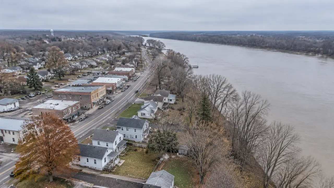
A FEMA flood map answers a narrow question: how likely is this ground to flood, and at what base flood elevation. It does not decide whether a site works for a building, a yard, or a campus. Site planning starts by turning the map into constraints a team can see, test, and explain to reviewers.
1 What a flood map tells a site team
1.1 Read zone letters for specific meaning
Zone A marks areas with a one percent annual chance of flooding and no published base flood elevation. Zone AE adds that elevation. Shaded Zone X covers the band between the one percent and 0.2 percent annual chance events. These letters feed insurance rates and local land use rules, and they were never intended to settle a building layout on their own. Reading them correctly is the opening move in any site review.
The difference between A and AE matters for early cost conversations. An AE zone provides an elevation to design against, while an A zone sends the team looking for a study or a local determination. Either way, the letter should ready a set of questions rather than supply an answer.
1.2 Find the map limits early
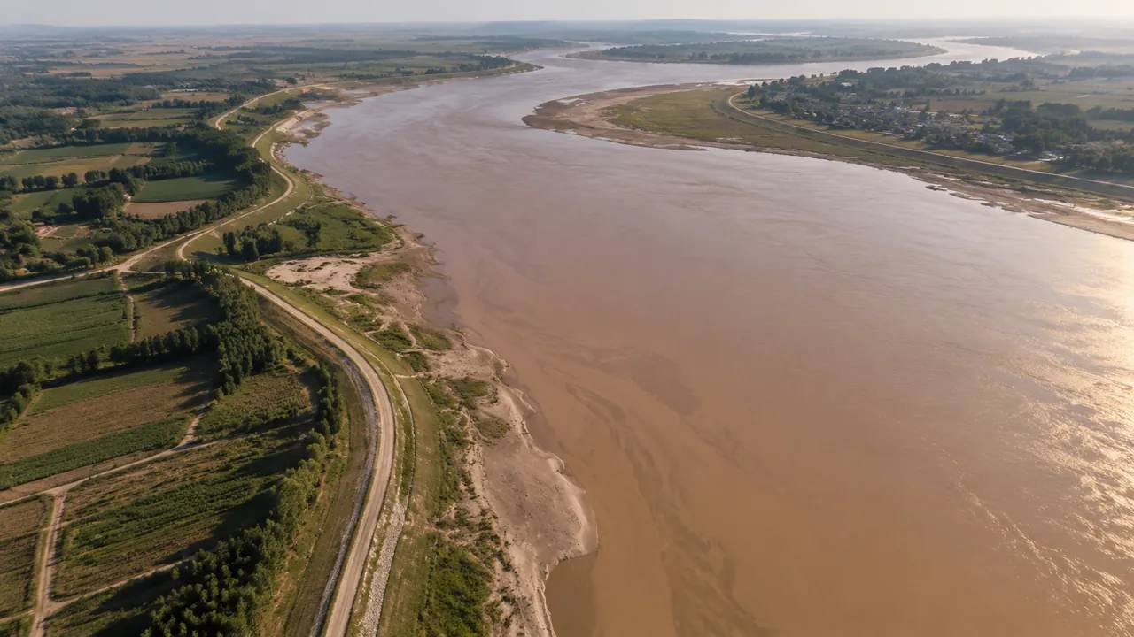
Flood maps are drawn at a scale that suits community planning and insurance, not parcel layout. The hydrology behind them can be years old, and small drainage paths often fall outside the mapped boundary. A team that treats the line as a wall may miss culverts, swales, and the way water crosses a road during a heavy storm. Those details belong in the conversation before a design hardens.
2 Turning zones into a visible site constraint
2.1 Mark the buildable envelope
Translate the zone boundary into a shape the team can measure. Set it against property lines, setbacks, parking, and service areas. Once the envelope is drawn, the discussion moves from a letter on a map to usable ground and the position of the building pad. That shift alone tends to surface conflicts while they are still cheap to fix.
Set the envelope against the access plan as well as the building. A generous pad with a single flooded driveway solves less than a tighter pad with two dry ways in. Small diagrams help here, and they keep the debate about land rather than preference.
2.2 Check access and utilities against the zone
Access roads, utility crossings, and emergency routes deserve the same scrutiny as the pad. A route that enters through the floodplain may work on a dry day and fail when water rises. Draw those paths on the same plan so the tradeoff is visible to the client, the engineer, and the planning office. Reviewers ask about access long before they ask about finishes.
If the site has a single point of access, test the scenario where that point is closed. The exercise is quick and it often changes the parking strategy before the parking is drawn.
3 Using a 3D site context for early conversations
3.1 What GenAnywhere can show
GenAnywhere lets a user select an area on a map and generate an editable 3D site model from satellite and map data. It identifies building footprints, estimates height, infers building type, and reads surrounding vegetation. Buildings, terrain, water, and planting arrive as separate layers that can be previewed, edited, and exported as GLB. For a flood review, that means the zone sketch can sit beside a scene of the actual ground, with the buildings and terrain in view. Teams can replace a single building, adjust its height or type, and compare the result without commissioning a new model.
3.2 What it cannot decide
A generated scene is not a hydrology model. It does not calculate base flood elevation, simulate a storm event, or certify a pad height. Those questions belong to engineers and to the floodplain administrator. The scene is a way to explain a layout and to spot obvious conflicts before a study is funded. Used that way, it saves meetings without pretending to replace analysis.
Keep the flood layer and the scene in separate files so each can be updated on its own schedule. When a reviewer asks where a number came from, the answer should point to a document, not a screen. That separation is simple and it prevents a visual from being mistaken for a finding.
4 Checks that hold up in a review meeting
4.1 Questions for the floodplain administrator
Ask how the map was derived, when it was last revised, and whether a letter of map change exists for the parcel. Ask which local drainage features sit outside the mapped zone. Bring a plan that shows the zone, the proposed pad, and the access route, so the conversation stays on specific geometry. Specific questions get specific answers, and the record improves for everyone involved.
The official FEMA flood map service is the place to confirm the effective date and the panel for the parcel. Bring the panel number to the meeting. It shortens the search on the other side of the table.
4.2 Record the assumptions behind each view
Write down the map version, the elevation source, and the date of the imagery used. Note which parts of the scene are inferred, such as building height. A short assumption log keeps a comparison fair and gives the next reviewer something to check instead of a set of pictures. It also protects the team when a map revision changes the picture months later.
Date every image and name the tool that produced it. Reviewers remember disagreements about sources longer than disagreements about design.
5 Keeping the comparison fair
5.1 Use the same baseline for every option
When two parcels are compared, both should use the same map version, the same scene extent, and the same level of detail. A site that looks safer because its model is simpler is not a safer site. Keep the camera angle and the layer set consistent so differences come from the land rather than from the presentation. Fair comparisons survive scrutiny because the method is visible.
Photographs and screenshots drift out of date, and a dated view is easier to defend. Label each option with the same scene settings and store them together. If an option is dropped, keep its view in the archive so the reason for dropping it remains clear.
5.2 Update the scene when the map changes
Flood maps are revised, and a new effective map can move a boundary by a meaningful distance. Rebuild the scene when a revision is adopted, and keep the earlier version for reference. The comparison then shows what changed instead of overwriting the record. A dated archive is worth more than a tidy folder.
Generate a site model from a map
6 When a flood map should reshape the plan
6.1 Act on signals to change the layout
If the building pad, the main access, or the utility yard sits inside the mapped floodplain, the layout deserves another pass. The same applies when the buildable envelope shrinks below what the program needs, or when an emergency route depends on a crossing that floods. Move the pieces before the design hardens and the cost of change climbs.
Check the service yard and the parking edge too, since those areas often occupy the cheapest ground and the wettest ground at the same time. A layout that protects the building but loses the yard has traded one problem for another.
6.2 Test further before keeping the layout
Some conflicts are manageable with grading, elevation, or a different access point, and those options need engineering input. Keep the layout alive when the conflict is limited to a service area or a parking edge. Document what must be resolved for the plan to proceed, and name the person who will resolve it. Ambiguity is what stalls projects, not the conflict itself.
6.3 Prepare a short handoff checklist
Hand over the map version, the scene file, the assumption log, and the list of open questions. Include the images used in the review and the date of the export. A compact package lets the next team repeat the review without rebuilding the context from scratch. Add the name of the reviewer who accepted each assumption, and the handoff becomes auditable.
Keep the package small enough that someone can read it in a sitting. Length is not the same as rigor.
7 FAQ
FAQ-1 Does a FEMA flood zone decide whether a site can be built on?
No. A flood zone is one input among many, and local rules, building codes, access, and utilities all shape what is allowed. The zone affects insurance, elevation requirements, and the level of review a project may face. Confirm the applicable rules with the local floodplain administrator before treating any zone as a yes or no answer.
FAQ-2 Can GenAnywhere show a flood zone on a 3D site model?
Not as a native flood layer. The platform generates a site scene from map and satellite data, and a zone boundary can be compared against that scene as an overlay in a downstream tool. The model shows terrain, buildings, water, and vegetation, while the zone comes from the official map. Teams usually keep both views side by side.
FAQ-3 Is a generated site model a substitute for a hydrology study?
No. A hydrology study models rainfall, flow, and storage with engineering methods and local data. A generated scene is a visual context for layout discussions. It can help a team frame questions for the study, but it cannot replace the analysis or the professional judgment behind a flood elevation. Treat it as a communication tool with a clear boundary.
FAQ-4 What should a team check before comparing two sites?
Use the same map version, scene extent, and level of detail for both sites. Check access, utilities, buildable area, and the position of the pad relative to the mapped zone. Record the assumptions and the date of the imagery. Then compare the remaining tradeoffs, which usually involve cost, schedule, and the tolerance of the local review process.
See how the site workflow fits together
Content and technical notes
This article was prepared by the GenAnywhere team with AI-assisted drafting and human review.
Product features, formats, and availability change as the platform evolves; refer to the official GenAnywhere website for current details.
For technical questions or corrections, contact support@genanywhere.com.
Last reviewed: 2026-11-14.