
Data center zoning: what Minneapolis teams should review, GenAnywhere
A parcel-level checklist for utilities, access, noise and floodplain questions before a hall gets drawn.
Minneapolis data center projects run into zoning questions long before anyone opens a planning application, and most of those questions are about the parcel rather than the building. A careful review covers the zoning district, utility capacity, truck access, mechanical noise at the property line, floodplain exposure and the visual relationship to nearby streets. None of that settles an application. It tells a team which questions to bring to a pre-application meeting and which evidence to gather before that meeting happens.
1 Confirm the district and the standards that follow
1.1 Which zoning district applies to the street address?
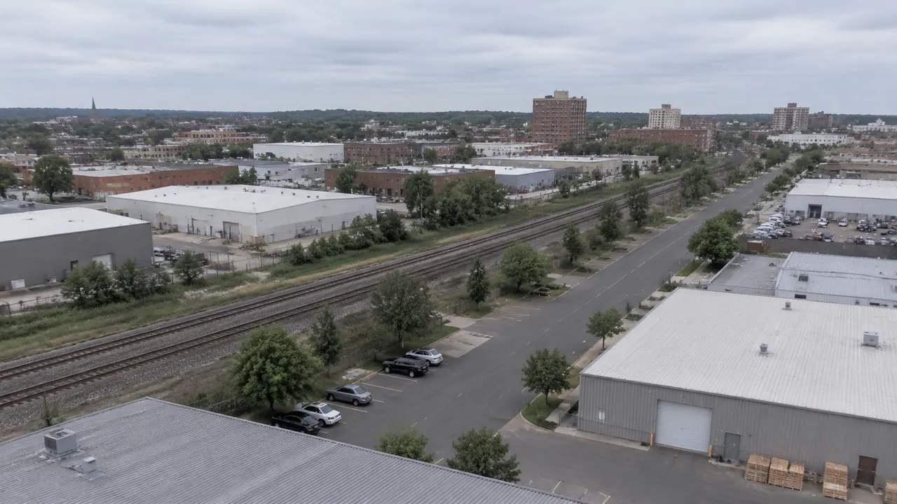
Zoning in Minneapolis is parcel-specific, so the district label on a neighboring property says little about the site you are studying. Start with the address in the city's official code and note the base district, any overlay districts and the small area plan that covers the block. Two parcels across an alley can carry different height and setback rules, which changes how a mechanical yard or a generator row fits on the land.
Write the district numbers into the project file with the date you checked them. Districts get amended, and a note from eight months ago may describe standards that no longer apply.
1.2 What do the development standards actually control?
Once the district is known, the practical questions are dimensional: front, side and rear setbacks, maximum height, floor area ratio, and the parking and loading counts that apply to equipment buildings. Data centers often need less employee parking than a code written for general industry assumes, and more room for transformers, switchgear and a screened yard. Read the standards as a set. A generous height allowance helps little if the side setback leaves no space for the screening wall that neighbors will ask about.
2 Test utility capacity and vehicle access early
2.1 Can the site reach power and fiber without new easements?
Distribution capacity, substation proximity and fiber routes set a real ceiling on a data center parcel, and none of that appears on a zoning map. Ask the utility for available capacity at the nearest feeder, the expected lead time for an upgrade and the route a new line would take. A site that needs an easement across a neighbor's parking lot carries different risk from one that already sits beside a utility corridor.
Put the utility answers in writing before the team commits to a massing. A capacity letter that arrives after the design is fixed tends to force changes nobody planned for.
2.2 How do truck routes and loading affect the layout?
Generators, chillers and switchgear arrive on flatbeds, and the turning path from the arterial to the dock area often consumes more land than the building footprint suggests. Confirm the designated truck route, the curb cuts the parcel can use, and whether a delivery vehicle can wait without blocking a travel lane or a bike lane. In the denser Minneapolis corridors, a loading aisle that works on a diagram can still fail on a Tuesday morning.
3 Read noise and visual context from the property line
3.1 Where does mechanical noise land at the property line?
Rooftop condensers, dry coolers and generator tests produce the complaints that follow a data center for years after the ribbon cutting. Map the nearest residential windows, the property line and the likely equipment locations, then ask an acoustical consultant where the sound lands and at what hour it matters. City codes can set a performance standard for noise, and a separate ordinance may limit testing hours, so check both before assuming a screening wall resolves the issue.
3.2 How much visual context does a review need?
Screening rules are usually written as heights and materials, yet the argument at a public meeting is about what a person sees from the sidewalk. A view from the nearest crosswalk, the roofline of the adjacent warehouse and the depth of the facade all shape that impression. Photographs help, and a simple massing study helps more, because it shows whether the building reads as a warehouse, a utility plant or a blank wall along the street.
4 Check floodplain, stormwater and ground conditions
4.1 Is any part of the parcel inside a mapped floodplain?
FEMA flood maps and the city's stormwater rules are separate filters, and a parcel can pass one and fail the other. Pull the effective map panel for the address, note the zone and the base flood elevation, and check whether the access road or the utility yard falls inside a Special Flood Hazard Area. A building pad can be raised. The driveway usually cannot, and that detail tends to reshape a layout late in the process.
4.2 What site evidence belongs in a pre-application packet?
Bring the survey, the utility correspondence, a massing diagram, the flood map panel and a short note on noise and truck access. Staff read these packets quickly, so a one-page summary of constraints earns more attention than a thick appendix. The purpose of the meeting is to learn which questions the city will ask, not to obtain a decision the meeting cannot give.
5 Frame the review with a generated site model
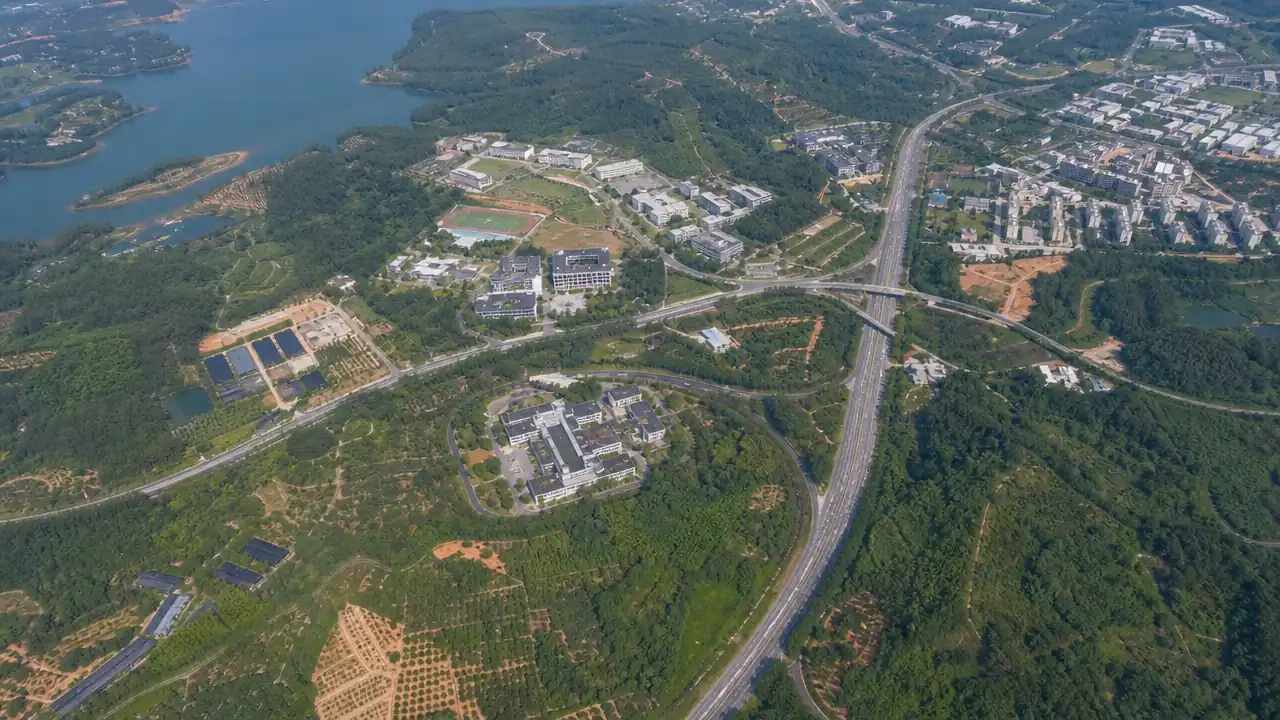
A generated 3D scene gives the team one picture of the parcel while the survey is still being scoped. GenAnywhere builds an editable model from a map selection, using satellite and map data to place building footprints, estimated heights, inferred building types and surrounding vegetation, with terrain fitted to the site. That is the practical role of AI 3D generation here: a starting scene for discussion, with the survey still doing the measuring. Anyone using it for a Minneapolis review should treat it as early context and check it against current imagery and the survey.
5.1 What can a generated scene show before design starts?
The scene opens with building, terrain and vegetation layers that can be previewed, edited and managed separately, so a reviewer can hide vegetation to study the block structure or isolate a single parcel. You can replace one building, move or rotate it, and change its height or type to test how a taller shell sits against its neighbors. For a data center review, that is enough to see whether a two-story equipment building disappears behind an existing warehouse or looms over a residential edge.
When the massing settles, the scene exports as a general GLB file for use in 3D, BIM, GIS and game engine workflows. The export is a working asset under a permanent commercial license, with limits on reselling the source file or using it for model training, and third-party data rights still need a check on your side.
5.2 Where does the model stop and the surveyor begin?
Generated geometry comes from map and satellite sources that vary in age and detail, so setbacks, easements and flood limits still come from the survey and the official maps. A planner should not treat the scene as a zoning determination, and nobody should file it as an exhibit without checking the source data behind each layer. Use it to ask sharper questions in the room, then replace it with measured drawings as the project advances.
Ready to look at your own parcel? Build an editable site scene in the GenAnywhere app, then compare it with the city's maps before the pre-application meeting.
6 Assemble the review package
6.1 What belongs in the pre-application packet?
A packet that answers the obvious questions saves a review cycle. Include the district and overlay list with the date checked, utility capacity letters, a turning path diagram, a noise note with equipment locations, the flood map panel and one clear massing image. Add a short list of questions the team still cannot answer. Staff will find those gaps anyway, and naming them early reads as competence rather than weakness.
6.2 Who checks the scene before it leaves the office?
Someone other than the person who built the scene should compare it with the address, the district map and recent aerial imagery. A second reader catches the reversed parcel, the missing overlay and the building that came down last spring. Record who checked the file and when, because that note carries more weight in a review than a tidy file name.
6.3 What changes when the project reaches schematic design?
Schematic design replaces inferred heights with designed ones, and the review shifts from context toward specific standards. Keep the earlier scene as a record of what the team understood at the pre-application stage, then rebuild the geometry from the architectural model. The zoning questions stay the same. The evidence behind them gets stronger, and the answers become easier to defend.
See how exported scenes move into design, GIS and visualization workflows.
7 Minneapolis zoning questions teams keep asking
FAQ-1 Can a generated scene be filed as a zoning exhibit?
Not on its own. A generated scene is context for internal discussion, and a filing needs the survey, the official zoning map and the standards in effect on the date of the application. Use the scene to explain a massing choice in a meeting, then attach measured drawings and the city's own map panels to anything that enters the record. If a consultant wants to include a rendered view, the source data and the assumptions behind it should be documented too.
FAQ-2 How current is the imagery behind a generated model?
It depends on the map and satellite sources available for that location, and those sources update on their own schedules. Check the imagery date where the platform shows one, then compare the scene with recent aerial photography and the notes from a site visit. For a Minneapolis parcel, a building added in the past year may be missing, and a demolished structure may still appear. Treat any mismatch as a prompt to verify.
FAQ-3 What file does the team receive at the end?
The scene exports as a general GLB file used across 3D, BIM, GIS and game engine workflows. Material handling, scale conventions and layer naming vary by destination, so plan a short import check with the team that will open it. If the downstream process needs a native format, the GLB becomes a reference and the native model is built from it. Exported scenes carry a permanent commercial license, described in the licensing statement, with limits on resale and model training.
FAQ-4 Do we need a survey before using the platform?
No. A quick context model built from mapped data is enough to start, and that is useful when a team is weighing parcels or preparing for a pre-application conversation. A survey is still needed for setbacks, easements, utilities and anything filed with the city. The practical sequence is to sketch the context early, then commission survey work once the shortlist narrows to one or two addresses.
Content and technical notes
This article was prepared by the GenAnywhere team with AI-assisted drafting and human review.
Product features, formats, and availability change as the platform evolves; refer to the official GenAnywhere website for current details.
For technical questions or corrections, contact support@genanywhere.com.
Last reviewed: 2026-11-06.