
Innovation districts: which sites merit a GenAnywhere 3D review
A site-selection sequence built around transit, parcels, utilities and phasing.
Start with the decision, not the map. A parcel earns a 3D review when the choice between candidate sites depends on how they sit together: the walk from a station, the gap between blocks, the service yard behind a building, the order in which land can come forward. The sequence below turns those questions into something a small team can check and hand on.
1 Read the district question before drawing anything
1.1 Which decision does the review need to support?
A district review usually hides three or four separate decisions. One may be about which parcel to bring forward, another about how a street should meet a station, a third about whether a block can absorb a taller mass. Write each of them down before a model exists, because a question that stays vague will be answered by whatever the scene happens to show.
Questions a floor-area spreadsheet can answer should stay in the spreadsheet. What remains is the territory of a 3D scene: arrangement, sight lines, the distance between a lobby door and a station entrance. If nobody can point to the part of the model that would settle the question, the review is too broad to begin.
1.2 Which sites belong inside the boundary?
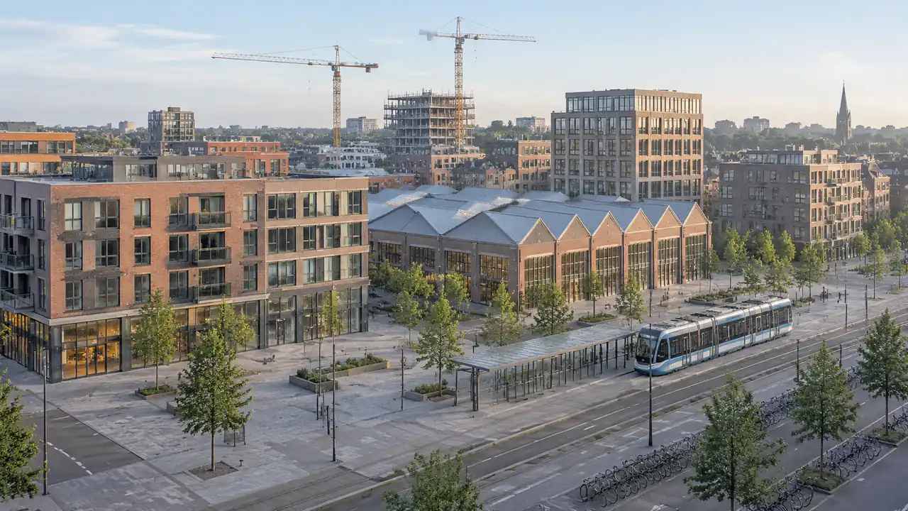
Draw the boundary around the walkable catchment, then trim it to the blocks a live decision will touch. A review that stretches across four neighbourhoods produces a scene nobody can inspect at a useful size. Keep the station, the main street edge and any parcel named in the discussion inside the line. Leave out the wider city unless a protected view corridor depends on it.
Two boundaries are worth keeping, one for the decision area and one for the wider setting you need in order to judge it. The second can be looser, because it has to carry just the things that frame a view: a ridge line, a river bend, a protected facade across the street.
2 Test transit and walkability on the ground
2.1 How close is the walk from the station to the door?
Distance on a map flatters a walk. What matters is the route a person actually takes: past a parking deck, across a four-lane road, along a wall with no openings. A generated scene puts the wall, the setback and the crossing into one view, and the unfriendly edge becomes hard to miss. Walk the route once, then compare your notes with the model; where the two disagree, the scene is probably missing a gate or a stair.
2.2 Where do the pedestrian routes break?
Look for the seams. A footpath that stops at a fence, a plaza that belongs to a private lobby, a crossing with no landing on the far side: these breaks rarely appear in a site schedule, and they decide whether two adjacent parcels behave as one district. Mark each one with a location and a photograph reference. Transport and design teams can then argue about the same piece of ground instead of describing it twice.

3 Check parcels, adjacency and utilities
3.1 Which parcels are actually available?
Title records settle availability, so treat the map as a question generator rather than an answer. A parcel can look open because a low workshop sits on it, or look finished because a car park fills the frame. Check ownership, lease terms and any active use before the scene implies redevelopment. Where several owners hold one site, note the assembly risk beside the parcel.
Assembly is the usual surprise. A block drawn as one parcel may be four titles, two leases and a right of way, and the scene will still render it as a clean mass. Note what has to be combined before a project can start and how long the leases run. That note belongs in the record, not in a side conversation.
3.2 What sits next door, and what runs underneath?
Adjacency decides more than area does. A hospital, a school, a food market or a data hall next door changes hours, servicing and noise, and the scene should show those neighbours at their real height and depth. Below ground the questions shift to drainage, power and the depth of basements on adjoining land. Utility records come from the operators, so request them early and keep them out of a shared scene until someone confirms them.
Keep a separate utility sketch with the operator's name beside each line, and update it when a survey comes back. Confirmed geometry can be added once it arrives. Until then, a gap in the drawing is more honest than a guess.
4 Stage the phasing in 3D
4.1 How does the district read in phases?
Break the district into phases that match how land can come forward, then view each phase as its own scene. A plot cleared early can sit empty for years, and the model should show that gap instead of a finished block. Check what each phase does to the street edge, the station approach and the service routes.
Phase boundaries rarely follow parcel lines. A street may need to close before a plot can be serviced, and one car park may serve two phases at once. Draw the line where the work actually stops, then look at what the stop does to the surrounding streets and the walk to the station.
4.2 What changes between the opening phase and later ones?
Test the awkward middle, the point where one building stands beside a long hoarding. Does the walk to the station still work, and does the remaining parcel still read as somewhere a tenant would sign? Later phases can be tested the same way, with heights and building types adjusted in the scene. Label every view with its phase and the option it represents, because a folder of similar images becomes unusable without them.
5 Read the scene as evidence, not as a picture
5.1 What does a site model show before design starts?
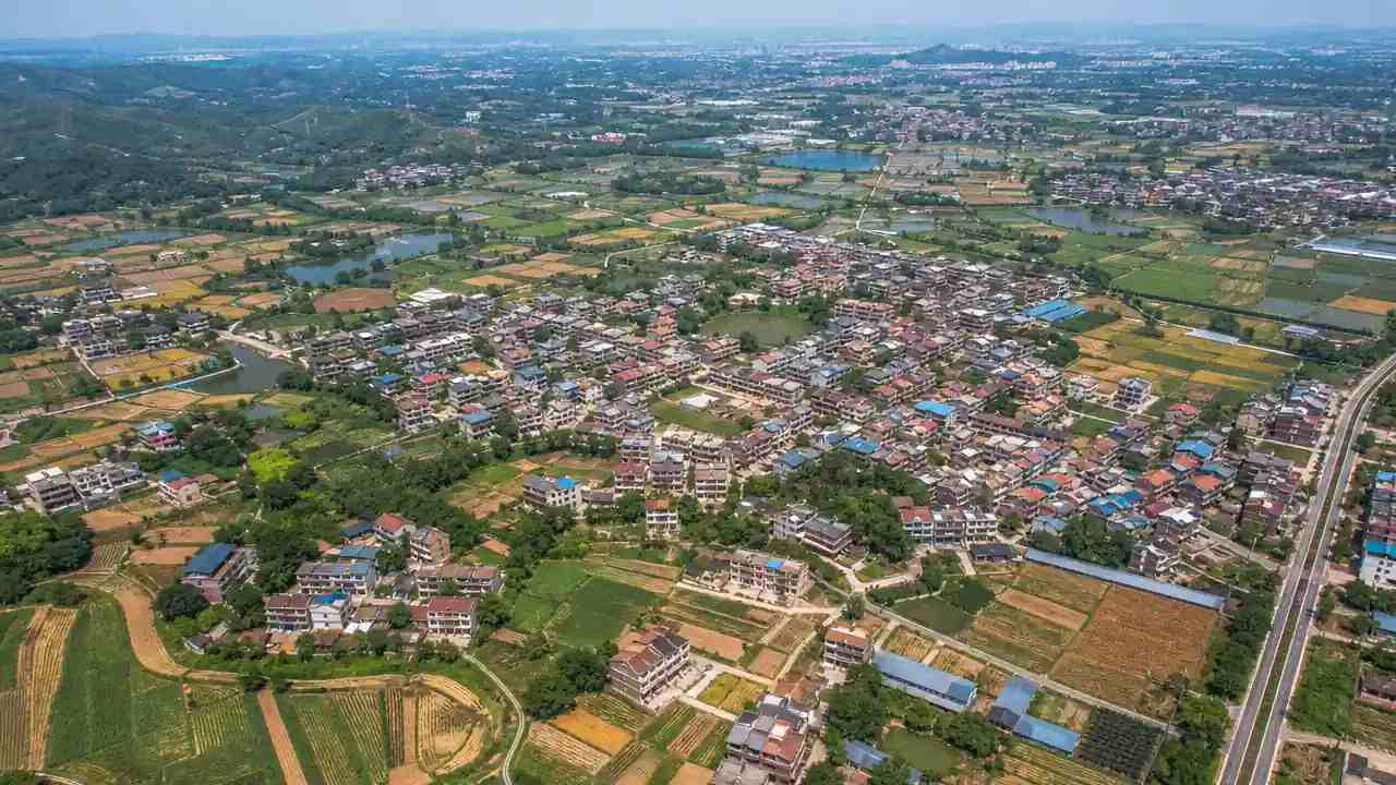
GenAnywhere uses AI 3D generation to build an editable site model from satellite and map data for an area selected on a map. It identifies building footprints, estimates heights, infers building types and reads the surrounding vegetation, keeping buildings, terrain, water and vegetation on separate layers. For a district question that means a block can be seen from the station approach before design work starts. Single buildings can be replaced, moved, rotated or re-scaled to test an option, and the result can be previewed before anything leaves the platform.
5.2 What does the scene leave to other documents?
The scene carries arrangement rather than entitlement, floor area rules, lease constraints or utility capacity, and its geometry is estimated from imagery rather than measured on the ground. Treat it as a way to ask sharper questions of those documents. Where a district needs a formal exchange between planning systems, the OGC CityGML standard describes how such city models are structured and shared. The terms of the GLB export are set out in the GenAnywhere authorization statement.
Export leaves a general GLB file, which design, GIS and game engine teams can open in their own tools. Have the receiving team test one before the real transfer, check scale and orientation, and agree what it will adjust. A test on a single block is cheaper than a test on twelve.
Open a district block in the GenAnywhere app and test one site before the next workshop.
6 Close the review with a written record
6.1 What should the record contain?
One page per site, with the boundary, the imagery date, the decision under review and the questions still open. Add the model version and the name of whoever made each edit. A colleague should be able to tell which view supported which conclusion without reopening the scene.
Keep the exported file beside that page, named so the phase and date are visible in a file list. Anyone who opens the folder later should see which scene matched which note without guessing.
6.2 Who should see the model before the shortlist hardens?
Show the scene to the transport, utilities and heritage leads while the parcel list is still soft, because each of them notices a different failure. A short walk through the model with the right person is worth more than a polished image sent by email. Ask each reviewer to name the part of the scene they distrust, then write the answer down.
6.3 When should a district review stop?
Stop when the open questions need measured data, legal advice or a transport study. A review that keeps producing images after the decision has moved elsewhere takes attention away from the next step. Agree the stopping condition at the outset and keep the last agreed scene as the shared reference.
Follow the steps from drawn area to exported file in the GenAnywhere workflow overview.
7 FAQ
FAQ-1 Does a district review need measured geometry?
No, not at screening stage. Estimated massing is enough to compare arrangement, access and phasing, as long as everyone knows the geometry comes from imagery. Move to measured data when a decision depends on floor plates, structural grids or a formal submission. The scene accepts either kind of data, and a short note on where the geometry came from settles most of the argument.
FAQ-2 Can one scene show several phases?
Yes, if each phase is saved and labelled as its own view. Buildings stay editable, so a mass can be removed for an early phase and put back for a later one without rebuilding the district. Export each phase as a separate file named with the phase and the date. The usual failure is a folder of views nobody can match to a decision, so keep a short index with the record.
FAQ-3 How should utility capacity affect the shortlist?
Utilities rarely choose a shortlist on their own, yet they can remove a parcel from one. A site with no capacity for the intended load, or one where a main must be diverted, carries a cost the geometry will never show. Ask each operator for capacity and easement information before the list is fixed, then put the answers in the record beside the parcel. Mark any parcel where the answer is still unknown.
FAQ-4 What is the main risk in a district 3D review?
The main risk is mistaking a coherent scene for evidence of feasibility. A district can look well ordered in 3D while the parcels are unassembled, the utilities are constrained, or the phasing leaves an empty block for a decade. Use the scene to test arrangement and to brief specialists, and keep commercial and legal questions in the documents that own them.
Content and technical notes
This article was prepared by the GenAnywhere team with AI-assisted drafting and human review.
Product features, formats, and availability change as the platform evolves; refer to the official GenAnywhere website for current details.
For technical questions or corrections, contact support@genanywhere.com.
Last reviewed: 2026-11-06.