
Overpass generation: how GenAnywhere builds a junction
The ground, the buildings and the planting around a crossing are generated; the decks and ramps that define it are designed.
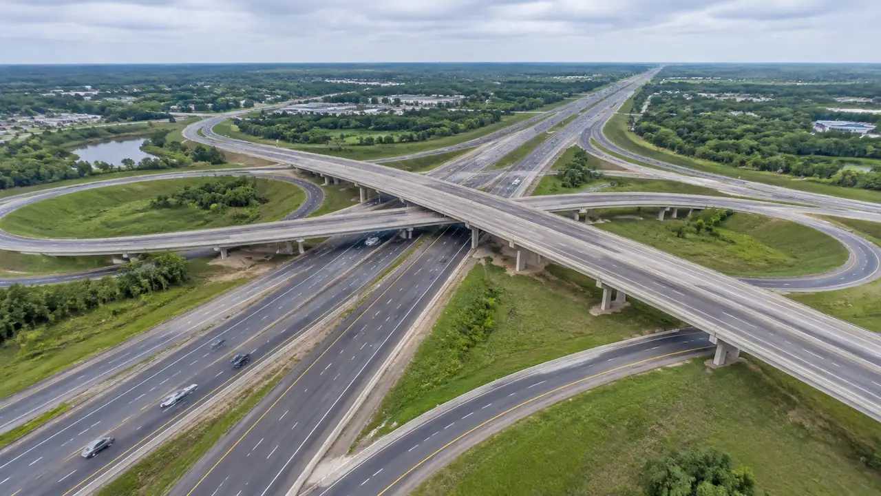
GenAnywhere builds the junction site, not the junction structure. Selecting an area around a crossing produces terrain, water, buildings and vegetation that can be edited and exported as one scene, and that is where generation stops. Decks, ramps, piers and barriers come from a design model and are placed against the exported ground, so the split between place and structure runs through every step.
1 What gets built
1.1 A place, not a structure
A junction is two things at once: a piece of land where several routes meet, and a set of structures that carry one route over another. The platform works on the place. It reads the ground, the buildings and the planting within an area, and returns a scene that can be edited and previewed from any angle. The structures are not part of that scene, which is why a generated junction looks like the land around a crossing rather than like the crossing itself.
1.2 Four generated ingredients
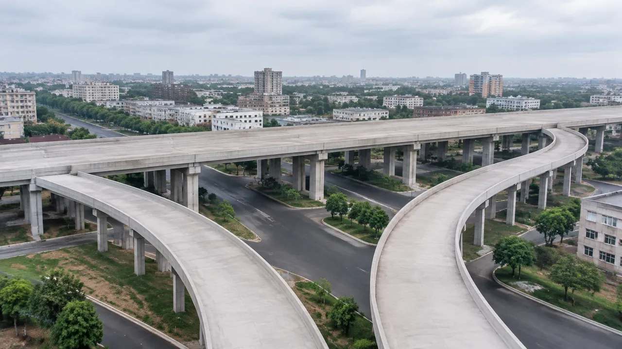
Four ingredients arrive together: terrain, water where the imagery records it, building volumes with estimated heights and inferred types, and vegetation inferred from canopy. Each has a job in a junction study. Terrain sets the levels and the shape of the ground, water shows drainage and constraint, buildings show what the works would touch, and vegetation shows screening and the character of the area. Between them they describe the setting well enough to argue about options before anyone draws a ramp, and they are the part of the study that a landscape architect and a highway engineer can both read.
2 The ground under a junction
2.1 Terrain and the shape of the crossing
A junction is usually placed where the ground already does something: a river crossing, a railway, a ridge, a valley mouth. The generated terrain shows that shape, including the fall across each quadrant and the places where an embankment would have to be tall or a cutting deep. It does not compute earthwork volumes, and it should not be used to price a move of soil. It does show, quickly, which of two alignments sits more comfortably on the land, and that is usually the question the shortlist turns on before any structural work begins.
2.2 Buildings and the property in each quadrant
Building footprints come from map data, so the houses, sheds and yards inside the area appear as volumes. Heights are estimated, which matters at a junction where a two storey house beside a ramp is the thing residents will talk about. Types are inferred, so a shop may arrive as a house and a workshop as a shed. All of that is editable, and moving or removing a building is a fast way to test which properties an option would take.
3 Assembling the scene
3.1 Choosing the area
Draw the area to include all four quadrants and a length of each approach, because a junction is judged by what it does to the roads that feed it. Too tight and the ramps leave the frame; too wide and the junction becomes a dot in a regional view. A useful rule is to include the next junction or the next village, whichever comes along sooner, since that is the scale at which traffic arguments are usually made. Two exports at two extents often beat one compromised frame that answers neither question well.
3.2 Correcting before judging
Spend ten minutes correcting before judging anything. Raise the block that dominates the skyline, remove the shed that came down last year, and check that the vegetation layer is doing what the site does. Corrections change the impression of scale more than any camera setting, and a wrong height beside a ramp will distort every comparison that follows. Note what you changed, so the next reader knows the scene is not a plain capture of the area. A list of four edits is enough, and it takes less time to write than the correction itself.
4 What design still has to bring
4.1 Decks, ramps, piers and walls
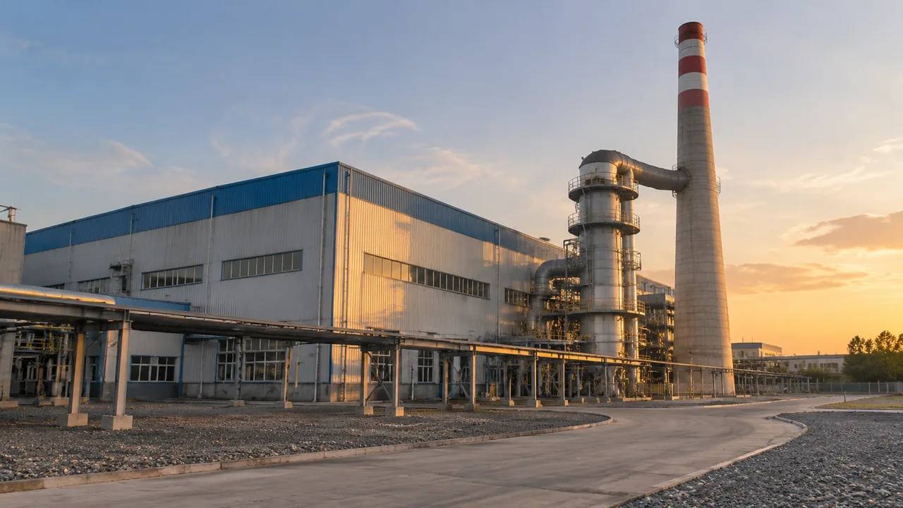
Decks, ramps, piers, abutments, retaining walls and the vertical profile are design. They come from a bridge or highway design package, and the receiving workflow is where they meet the ground. Building information exchange formats exist for that kind of handoff, and buildingSMART publishes the standards behind them. The scene contributes the ground the structure has to fit, which is a real constraint rather than a proposal, and the two are easier to compare when they stay separate.
4.2 Signs, lighting, barriers and drainage
Signs, lighting columns, barriers, drainage, gantries and the carriageway markings themselves are equipment and design items, and none of them are generated. The imagery behind the scene shows where a road runs and the terrain carries the ground it sits on, but the platform does not build road geometry. List those items in the handover with an owner for each. A junction picture without them is honest about what it is, and a list makes the gap visible before someone asks about it.
5 Reviewing a junction
5.1 Four frames
Four frames cover most junction reviews: the approach from each direction, the view from underneath, the view from the nearest house or footpath, and a wide aerial that shows the land take. Each answers a different question, and a deck built from all four rarely needs a fifth. Take them at the same time of day if the review compares options, since shadow and colour shift the impression more than most people expect. Number the frames and keep them together, so a later meeting can return to the same view without rebuilding it from scratch.
5.2 Comparing options with blocks
For an option comparison, blocks are enough. A deck shaped block at roughly the right height and width shows land take, visual bulk and what disappears behind it, and nobody in the room argues about the details of a block. Two options, two blocks, one camera, and a shortlist usually follows within the hour. Label the blocks as blocks in the caption, then discard them once a design team takes the chosen option forward. A block that outlives its decision becomes a de facto design proposal, and that is the outcome to avoid.
6 Layers, export and handoff
6.1 Layer states and preview
Terrain, buildings and vegetation are managed as layers, and the platform overview sets out how they are shown and edited. Layer states are a review tool: hide the planting to see the ground, hide the water to read the drainage shape, hide the buildings to check land take. Record which state was on screen for each screenshot, because two people describing a junction from different states will disagree about the same site. One line under each image is enough, and it saves a round of emails.
6.2 Export and receiving workflows
Preview the scene and export a GLB, and the site travels into 3D, BIM, GIS or game engine workflows. Import behaviour varies, so open the file in the receiving application and check orientation, scale and materials before the meeting. In a design tool the exported ground becomes the surface an alignment is set against. In an engine it becomes the setting for a walkthrough. Both are ordinary uses, and both depend on the file being tested by someone who will actually use it.
6.3 The handoff note
The note should carry the extent, the imagery date, the buildings you changed, the purpose of the file and the structures still to be added. That last item is the one people forget, and it is the one that stops a picture of empty ground from being read as a junction without a bridge. Five lines kept with the file are enough. They also tell the next team which version of the site they are looking at, which is not always obvious from the file name.
Open the GenAnywhere app and frame a junction site
7 FAQ
FAQ-1 Does GenAnywhere generate overpass decks?
No. The platform builds the site a junction occupies: terrain, water, buildings and vegetation, all editable and exportable, while decks, ramps and piers are design geometry that arrives from a bridge or highway design package. That split is deliberate, and it is what lets a generated junction scene be reused when the structure changes. Say it at the start, since the scene is still worth building and the land questions arrive before the structural ones.
FAQ-2 Do the slip roads appear in the scene?
Not as geometry. The imagery behind the scene shows where roads run and the terrain shows the ground they cross, but the platform does not build carriageways or slip roads. Ramps and approach roads are designed and placed in the receiving tool. If a review needs to discuss a new slip road, the alignment comes from the design team and the scene supplies the land and the buildings around it.
FAQ-3 Can I show the junction from a nearby house?
Yes, by moving the camera to that position and taking a screenshot. The view is as good as the generated buildings and vegetation, so correct the nearby heights before you rely on it. It shows what the junction would look like in the landscape, not what a resident would hear or smell. Keep the frame honest with a caption that states where the camera sits and what it leaves out.
FAQ-4 What is in the export?
A previewable 3D scene and a GLB of terrain, water, buildings and vegetation, including any building edits, for 3D, BIM, GIS or game engine workflows. It does not include decks, ramps, piers, signs or lighting. Test the file in the receiving application, record the imagery date, and list the design assets still to be placed before the file moves on to another team.
See how a junction site moves into a GLB workflow
Content and technical notes
This article was prepared by the GenAnywhere team with AI-assisted drafting and human review.
Product features, formats, and availability change as the platform evolves; refer to the official GenAnywhere website for current details.
For technical questions or corrections, contact support@genanywhere.com.
Last reviewed: 2026-11-13.