
Rail depot design: how GenAnywhere handles yard terrain
Grades, drainage, and the connections that decide a depot layout
A rail depot is a flat place in a landscape that rarely offers one. The yard needs gentle grades for standing cars, space for leads and storage, and drainage that keeps the track bed from turning into a pond. GenAnywhere builds an editable 3D site model from a map selection, so a design team can read those conditions together before the track layout is fixed.
1 Why yard terrain decides the layout
1.1 How do grades affect track and storage?
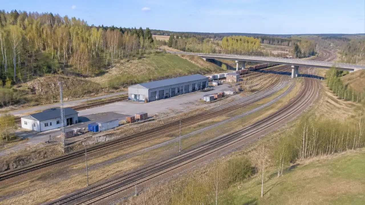
Freight cars do not want to roll on their own. A yard that looks flat on a plan can still have enough fall to send a cut of cars drifting, which is why yard grades are kept shallow and consistent. The same slope that helps drainage can work against storage. On a hillside site, the choice is often between a terraced yard with retaining walls and a single pad cut deep into the slope. Both are visible in a 3D scene, and both change the cost of the earthwork before a track plan is drawn.
1.2 Where does drainage collect?
Water gathers at the low corner of a graded surface, and a yard has many low corners. Track drains, catch basins, and ditches all need somewhere to send what they collect, and that somewhere is usually off the property. If the surrounding land rises on three sides, the yard becomes a bowl. Seeing the bowl before the layout is fixed lets the team add a lift, adjust the grade, or plan a pump station instead of discovering the problem after the pavement is poured.
2 Reading a yard in three dimensions
2.1 Where should a team start the review?
Start with the throat, where the yard meets the main line, then follow the leads into the body tracks and the storage rows. The throat is where curvature and grade combine, and where a small change in alignment can free or consume a large amount of land. From there, look at the truck court, the maintenance building, and the access road. Reading the scene in that order follows the way a train and a truck actually move through the site, which keeps the review grounded in operations.
2.2 How do teams test a different arrangement?
A team can move a building, rotate a shed, change its height, or replace one structure with another, and see how the yard around it changes. Terrain, water, and vegetation are generated and matched to the ground, and buildings, terrain, and planting can be managed as separate layers. That makes it practical to try a shorter body track, a wider storage area, or a second access point without rebuilding the study. The model is a way to ask what the land allows, not a finished track design.
3 Connecting the yard to the network
3.1 How do lead tracks and access roads fit?
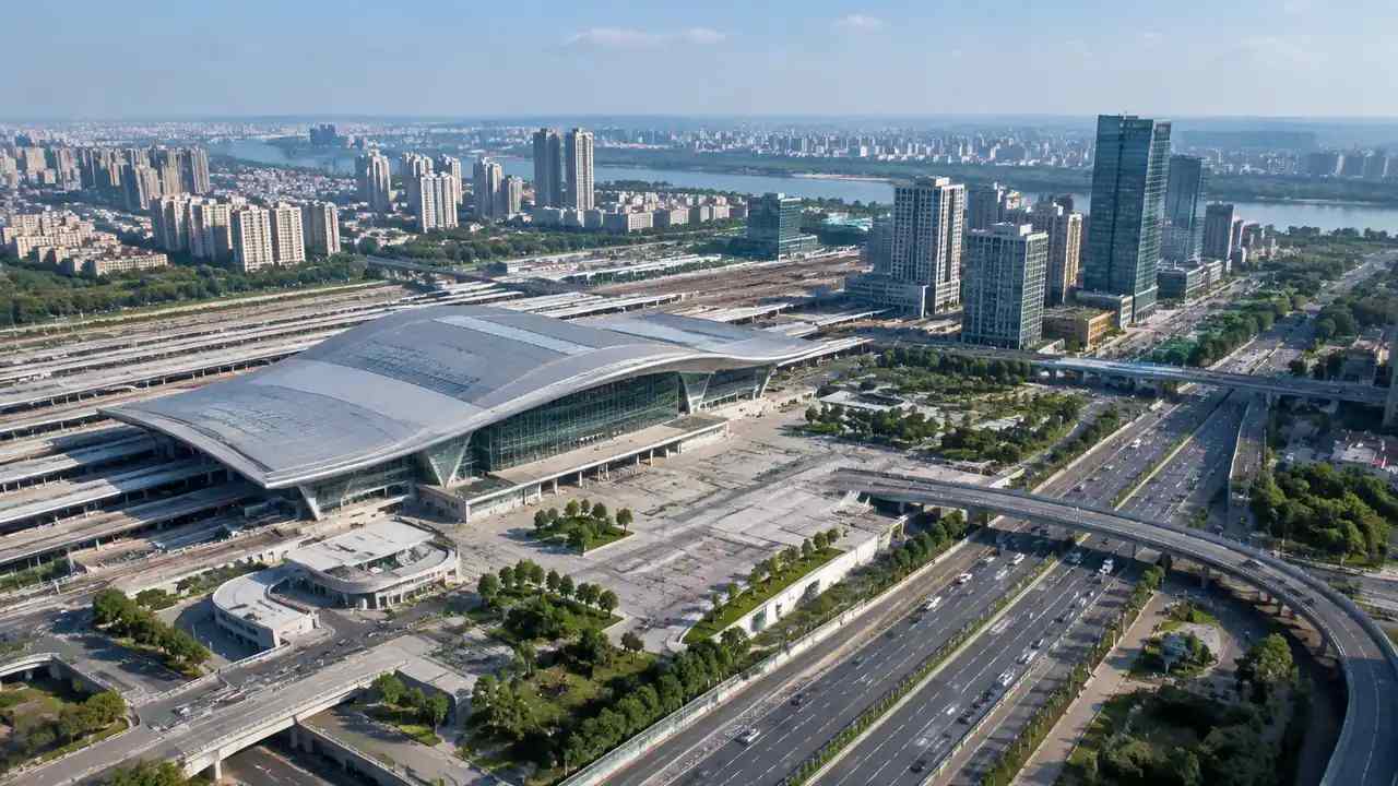
The lead track sets the yard's reach, and rail depot design usually meets the land there. A long lead can serve more tracks but costs more land and may cross a road; a short lead limits the number of moves a crew can make without fouling the main line. Access roads have a similar tension, because a direct entrance may cross the same lead that serves the yard. Drawing the rail and road connections in one scene shows the crossings, the queue space, and the places where a gate would block a switch move. The Federal Railroad Administration publishes safety and planning material that helps teams frame those questions.
3.2 What about neighboring land uses?
A depot is loud at odd hours, and the sound travels along the track. The surrounding land matters for buffering, for road access, and for whether a proposed expansion will sit against a warehouse, a field, or a row of houses. Putting the neighbors in the scene shows where a berm or a tree line would do useful work and where a new track would run close to a property line. Those observations do not settle a design, but they change the questions a team brings to the next meeting.
4 Comparing depot options
4.1 What makes a comparison fair?
Use the same camera positions, the same layer settings, and the same operating assumptions for each option. If one layout is shown with a full storage yard and another with an empty one, the pictures are not comparable. Keep the train length, the truck count, and the building program the same unless the option itself changes them. Write the assumptions down and attach them to the scenes. A fair comparison is less about the rendering and more about the discipline behind it.
4.2 How do teams document a preference?
A preference needs a reason that survives the meeting. Record the yard capacity each option supports, the earthwork it implies, the access conflicts it creates, and the studies it would still need. Note which option the operations team prefers and why. Then keep the notes with the scenes so a later reviewer can follow the reasoning. A short written record is worth more than a polished image, because it shows what the team knew and what it decided to test next.
5 Where GenAnywhere fits the depot study
5.1 What can the platform build?
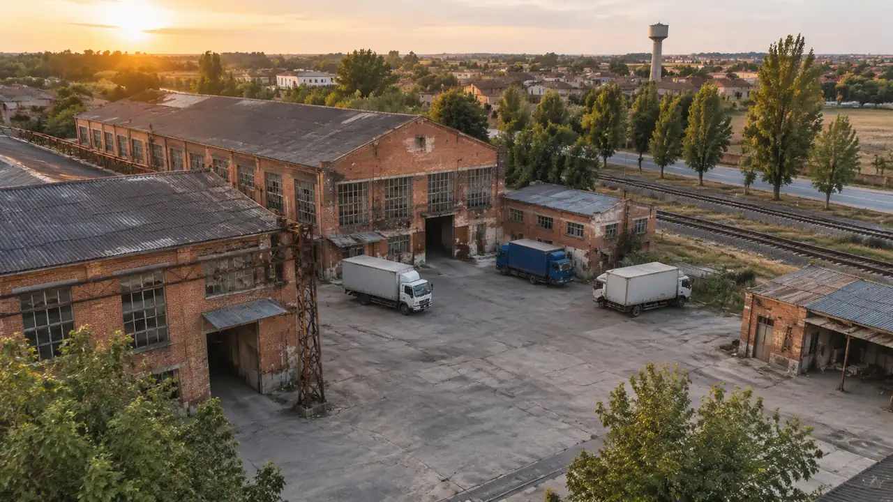
GenAnywhere generates a scene from an area chosen on a map, then lets a team edit the buildings it finds. A structure can be replaced, moved, rotated, or changed in height and type. Terrain, water, and vegetation are generated and fitted to the ground, and the three layers can be previewed and managed separately. For a depot study, that supports early tests of yard shape, building placement, and access without waiting for a full engineering model. The scene stays editable, so the layout can change as the questions do.
5.2 What does export support?
After preview, the scene exports as a general GLB file for 3D, BIM, GIS, and game engine workflows, including the directions covered in the official tutorials. A rail planner can hand the scene to an architect or a visualization team without asking them to learn a new authoring tool. The file is a review asset, not a survey product, and the receiving software decides how coordinates are handled. Test the import with a small scene before a production pipeline relies on it.
6 Limits and next steps
6.1 When is field survey needed?
When the question turns to track alignment, clearance, or the condition of the ground under the ballast, a surface scene built from map and satellite data is not enough. Field survey, LiDAR, and geotechnical work answer those questions. Use the model to decide where the survey should go and what it should cover. A team that brings a clear scene to the survey kickoff usually gets a more focused scope, because the areas of doubt are already marked on the ground.
6.2 What belongs in a review pack?
One page per option, a fixed set of views, a short list of what the yard can hold, and a note on the studies still missing. Include the assumptions about train length, storage, and truck movement. Add the access conflicts and the neighbor issues that need a conversation. Keep the language plain enough for an operations manager and a planning official to read without a translator. The pack should let someone who missed the meeting understand what was compared and what remains open.
6.3 How does a team start?
Pick one depot site and build a rough scene before the next layout session. Keep the buildings simple and the camera views fixed. The aim is to find the land questions that the track plan has to answer, not to produce a finished yard. If the scene shows a grade or drainage issue that nobody had raised, the exercise has paid for itself. Then extend the same method to the other options.
Start with a map selection in the browser app, then follow the site workflow to prepare the yard review.
7 FAQ
FAQ-1 Can a yard model show track geometry?
It can show the ground that a track would sit on, along with buildings, roads, and water nearby. It does not carry rail alignment, turnout geometry, or clearance data. Those come from a track design and a field survey. The value of the scene is in the conversation before that design starts: where the grades are gentle, where the throat has room, and where a lead would cross a road. Use it to frame the design brief, then let the track engineers take over.
FAQ-2 How does the platform handle existing buildings?
Buildings are identified from map and satellite sources, with footprints, estimated heights, and inferred types. A team can replace one, move it, rotate it, or change its height and type. That is useful when a depot plan assumes a warehouse will be removed or a shed will be enlarged. The scene is a working approximation, not a building survey. For a structure that matters to the design, confirm its condition and dimensions with a site visit or record drawings.
FAQ-3 Can teams test a smaller depot footprint?
Yes. A team can shorten the body tracks, reduce the storage area, or move a building closer to the yard and see what the terrain does in response. A smaller footprint often shifts the earthwork rather than removing it, because the cut and fill have to go somewhere. Comparing a compact option with a larger one on the same views shows whether the saving is real. Keep the operating assumptions honest, or the smaller option will look better than it can perform.
FAQ-4 What does the GLB export suit?
The GLB is a general scene file for review and visualization. It suits design discussions, public meetings, and handoffs to 3D, BIM, GIS, or game engine teams, including the tools covered in the official tutorials. It does not carry survey coordinates, track alignments, or legal boundaries. Confirm how the receiving software handles scale and orientation, and test the import before a production workflow depends on it.
Content and technical notes
This article was prepared by the GenAnywhere team with AI-assisted drafting and human review.
Product features, formats, and availability change as the platform evolves; refer to the official GenAnywhere website for current details.
For technical questions or corrections, contact support@genanywhere.com.
Last reviewed: 2026-11-08.