
Water reports: how GenAnywhere shows flow in motion
The movement in a water report comes from the camera and the scene switch, not from water that moves.
A water report in GenAnywhere shows the shape of a river, lake edge or harbour by moving the viewpoint through it and by switching between scenes of the same water at different extents. The water surface itself does not animate, and nothing in the file calculates flow, level or quality. Read the report as a guided walk along a water body rather than as a model of one.
1 What motion means in this context
1.1 The camera carries the movement
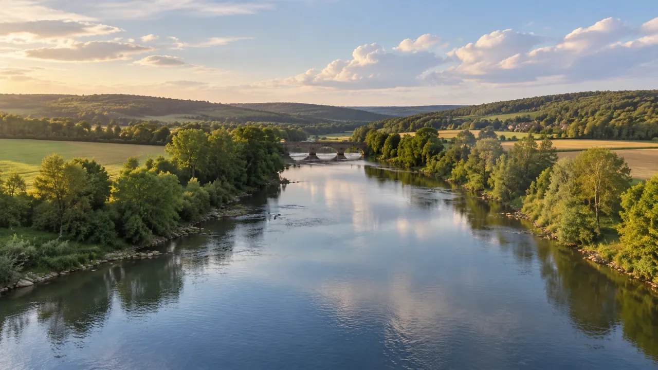
Nothing in the scene moves on its own. When a review asks to see a river in motion, what it usually wants is a camera that travels: along the bank, around a bend, up a side channel, then back to the confluence. GenAnywhere holds the water as a surface with a fixed shape while the viewpoint changes around it. That is a presentation choice, and the team controls it. Say plainly that the water is still, because a travelling camera invites an audience to read current into a flat surface.
1.2 Scene switching as a second kind of movement
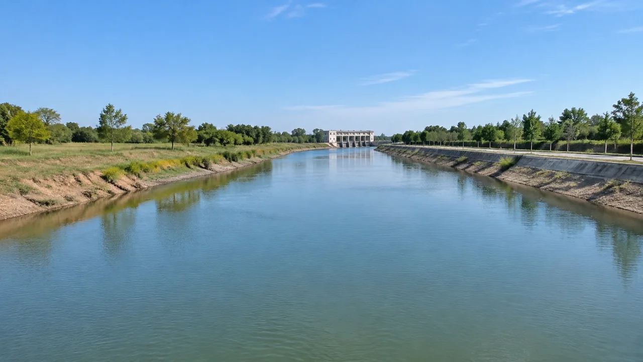
Movement also comes from swapping scenes rather than sliding a camera. One scene may hold the reach at the bridge; another holds the same water two kilometres upstream inside a wider boundary. Jumping between them is quicker than a long camera path and keeps each view readable. Many reports work with three scenes: the mouth, the bend and the industrial bank. Number them in the order they will be shown, since an unlabelled scene switch looks like a jump cut and loses the thread.
2 Reading a water body from viewpoint
2.1 The low view along the bank
Walk the camera down until it sits a little above the surface and look along the bank. At that height the water reads as a plane with an edge, and the edge becomes the subject: a revetment, a slipway, a belt of trees that stops at the waterline. Buildings behind gain height and lose detail, which is the trade a low view makes. Use it when the question is what a person standing at the edge would see, and leave it out when the question is about extent.
2.2 The wide view across the reach
Pull the camera up and back until the reach sits inside the frame with its banks, islands and side channels. From there the water body reads as a shape: where it widens, where it pinches, where a bar splits it in two. That shape is often the whole point of the report, because it explains why a quay or a warehouse sits where it does. Keep the tilt shallow rather than straight down, since a shallow angle keeps the far bank readable and a flat overhead view returns a map the audience already had.
3 What a water report cannot carry
3.1 No flow, discharge or level
The scene holds no flow rate, no discharge, no stage and no velocity, and nothing in it is computed. Those are measurement and modelling questions with their own data behind them. Organisations such as the USGS publish gauge records and surface water methods that a review can cite alongside the images. What the scene adds is the shape those numbers describe: which bank the water meets, how wide the channel runs at that point, where a structure squeezes the section. Keep the numbers on one slide and the view on the next.
3.2 No quality, sediment or habitat answer
Water quality, sediment movement, salinity, temperature and habitat value sit outside the scene too. A green or brown surface is a surface colour taken from imagery, not an indicator of anything. Teams that need those answers bring monitoring data and use the scene as the place to put it. That division is worth stating in a public meeting, because a picture of a river invites quiet assumptions about its health. Name what the surface represents before the questions begin, not after the third one.
4 Planning the view sequence
4.1 Three views are usually enough
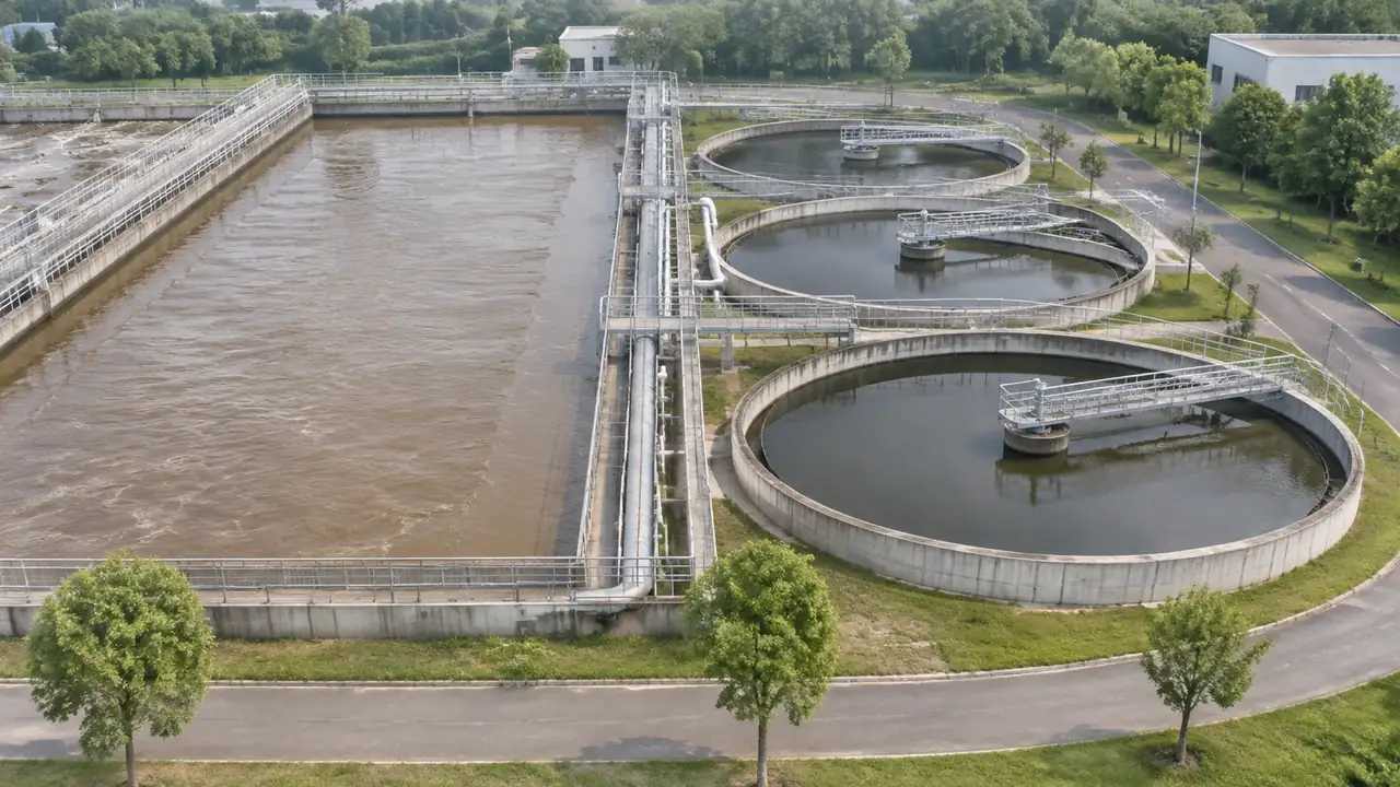
Most water reports need a wide view for context, a low view along the bank, and a close pass at the feature under discussion: an outfall, a bridge pier, a confluence. Three views fit into a short session and leave room for argument. Add a fourth when a decision depends on it, because each extra view costs a minute of attention and the audience spends it comparing rather than listening. Write the sequence down before the meeting so the camera path is the same for every audience.
4.2 Naming views for repeatability
Give each view a name that carries the place and the direction, for example lower reach looking upstream. A name like that lets a colleague rebuild the view without a diagram, and it lets two reports be compared years apart. Store the names with the scene file rather than in a slide deck. When a view is repeated in a later report, keep the old name even if the camera drifted a little, so the pair still reads as a pair. A second name for the same view is a small thing that costs an hour when a colleague rebuilds it wrong.
5 Handing a water report on
5.1 Preview, then export
Run the whole sequence in preview before anything leaves the platform. Watch for the moments where the camera passes through a building or drops below the ground, since those are easy to create and awkward to explain. When the sequence reads cleanly, export a GLB of the scene. The platform overview sets out what the file holds, which settles most questions about content before they are asked. Export from the preview state, so the file matches the version the team approved.
5.2 Notes that travel with the file
The note should name the water body, the reach, the imagery date and the scenes used. Add a line saying the water is a static surface and that no flow or quality data is included, because that single sentence prevents most misreadings. List any building you corrected near the bank, since a changed shed can shift how a shoreline reads. Send the note with the file, and keep a copy where the next reviewer will find it rather than in a message thread.
Open the GenAnywhere app and build a water report
6 Before you start
6.1 Choosing the reach
Set the reach from the question, not from the water body. A bank erosion discussion needs a few hundred metres of edge; a harbour discussion needs the whole basin and the land around it. Longer reaches produce heavier files and thinner detail per metre, so a chain of short scenes usually beats one long one. If two reaches compete for the same report, build both and let the audience see why they were separated. The boundary is a decision to write down, not a slider to leave where it landed.
6.2 The date behind the waterline
Water edges in the scene follow the imagery, which was captured on one day at one level. A river in spate and the same river in late summer produce different shorelines, and the scene will show whichever the imagery recorded. Ask the operations team whether that day was typical. If it was not, say so in the opening minute, because otherwise the audience reads a seasonal edge as the permanent one and every later measurement inherits the error. Two reviewers can spend ten minutes on a difference that came from the day of capture rather than from the site.
6.3 What the report is for
Decide whether the report argues for a position or simply describes a place. A description can run on three wide views and stop. An argument needs the low view, the close pass and a second scene for comparison. Reports that try to do both tend to run long and satisfy nobody. Naming the purpose at the start also decides how many scenes to build, which keeps the work in proportion to the decision behind it. A report with no stated purpose tends to grow a fourth and fifth scene in search of one.
7 FAQ
FAQ-1 Is the water animated?
No. The water is a static surface generated from map and imagery data, and it keeps its shape for the whole session. Motion in a report comes from the camera travelling through the scene and from switching between scenes. If a client expects ripples or moving current, correct that expectation before the meeting opens, because a still surface read as an animation is a disappointment that a single sentence avoids.
FAQ-2 Can I show a flood outline?
Not as a calculation. A flood outline is a modelling result with its own inputs, and the scene does not produce one. What teams do is bring the outline in as an overlay in a downstream tool, or mark the extent with simple blocks, and label it as an external result. The scene supplies the ground and the banks that make the overlay readable, which is a real contribution without any claim about hydraulics.
FAQ-3 How do I show seasonal change?
Build two scenes from imagery of two dates if both are available, then switch between them. If a single date is available, the two scenes will show the same shoreline and the comparison says nothing. Say which date each scene reflects in the caption, since an audience that assumes both are current will draw the wrong conclusion about how far the water moves through a year.
FAQ-4 What does the export contain?
Terrain, the water surface as recorded in the imagery, vegetation and building masses, plus any edits made during the session. It does not contain flow, level, quality or gauge data. The file opens in 3D, BIM, GIS and game engine tools, where monitoring results and design assets can be added. Check the export against the preview before sending it, because a file is easier to correct at the source than after it has been distributed.
See how a water scene moves into a GLB workflow
Content and technical notes
This article was prepared by the GenAnywhere team with AI-assisted drafting and human review.
Product features, formats, and availability change as the platform evolves; refer to the official GenAnywhere website for current details.
For technical questions or corrections, contact support@genanywhere.com.
Last reviewed: 2026-11-13.