
Offshore drone routes: how GenAnywhere handles site context
Site context for corridor checks over water and along coastlines
Offshore drone routes start from land. A launch site, a shoreline, and the structures in between set what a route has to clear and where a crew can stage. GenAnywhere gives that landward context a 3D form, while the flight path itself stays in the tools built for it.
1 What a coastal launch site needs to show
1.1 How do shorelines and tidal flats read in a model?
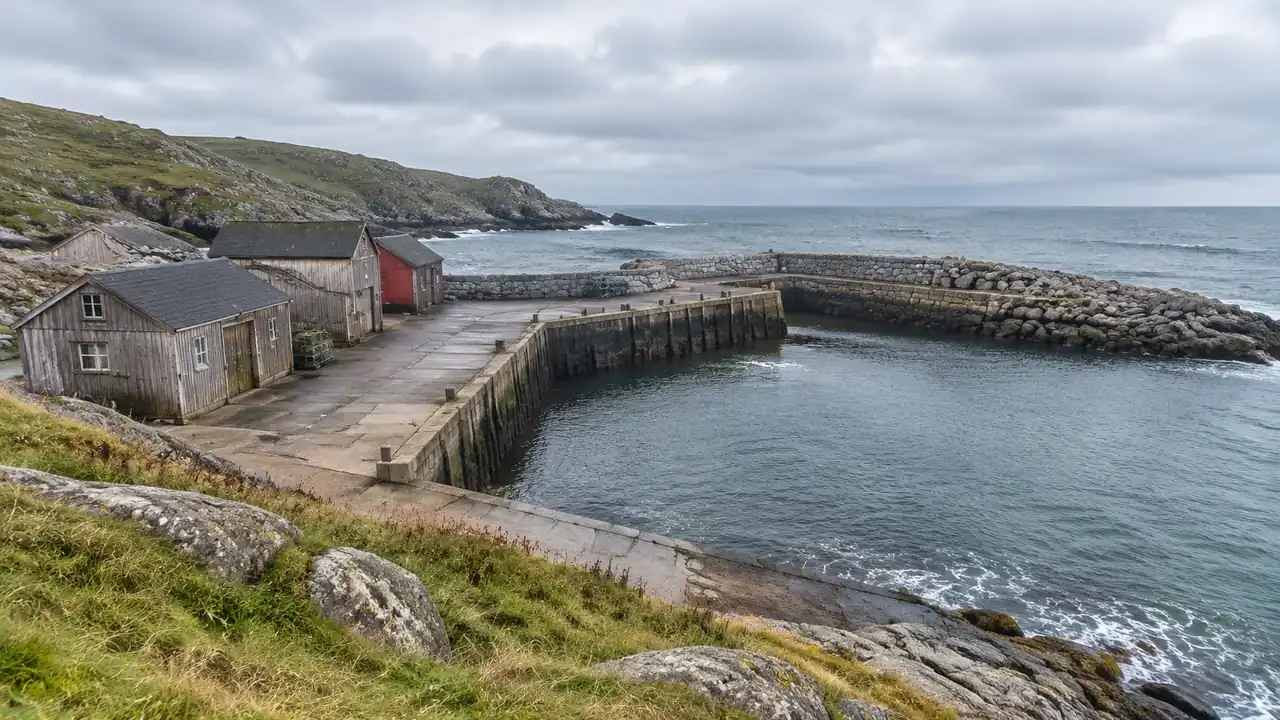
Shorelines are not fixed lines. A beach, a tidal flat, and a salt marsh move with the tide and the season, and a launch point that works at low water may be unusable at high water. A scene built from imagery shows the shoreline at the capture date, which helps a team see the range of ground it might have to work with.
The flat areas behind the beach often matter more than the water edge. A crew needs space to stage cases, charge batteries, and keep people clear of the rotor arc. Seeing that space in 3D, with the buildings and vegetation around it, shows whether the site can hold a working area.
1.2 Which structures near the water matter?
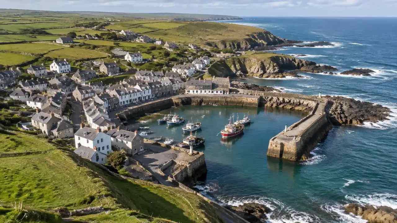
Piers, breakwaters, jetties, and the buildings at the harbor edge shape both the route and the launch. A structure can provide shelter or create turbulence, and it can block a line of sight from the launch point. Putting those objects in the scene lets the team discuss them by name rather than by description.
Vessels are a separate matter. A moored boat or a barge is not part of the site, and the scene will not show where one will be on a given day. Treat vessels as a field condition, not a site feature, and check them on the day of the operation.
2 Reading the corridor from land
2.1 How do teams review a route without drawing on the model?
Keep the route out of the site scene. Draw it in the flight planning tool, and use the scene to check the landward end and the structures the route passes. If the route needs to be discussed in a meeting, a separate diagram or a short description works better than lines burned into the model.
The reason is durability. A scene with a route drawn on it becomes obsolete when the route changes, and readers may mistake the line for a surveyed path. The site scene should show the place; the route should show the plan.
2.2 What does the scene show about the water surface?
The scene shows water as a surface at a single state, based on the data used to build it. It does not show tide, current, swell, or sea state. For a route over water, those conditions come from forecasts and observations, and they decide whether a flight can happen on a given day.
What the scene does show is the relationship between the water and the land. A low cliff, a slipway, or a line of rocks at the water's edge can be seen in context, and the team can ask how a route would leave the shore without treating the image as a sea state forecast. Tide and current predictions come from national services such as the National Oceanic and Atmospheric Administration, not from the scene.
3 Supporting inspection planning
3.1 How does a site model help a flight brief?
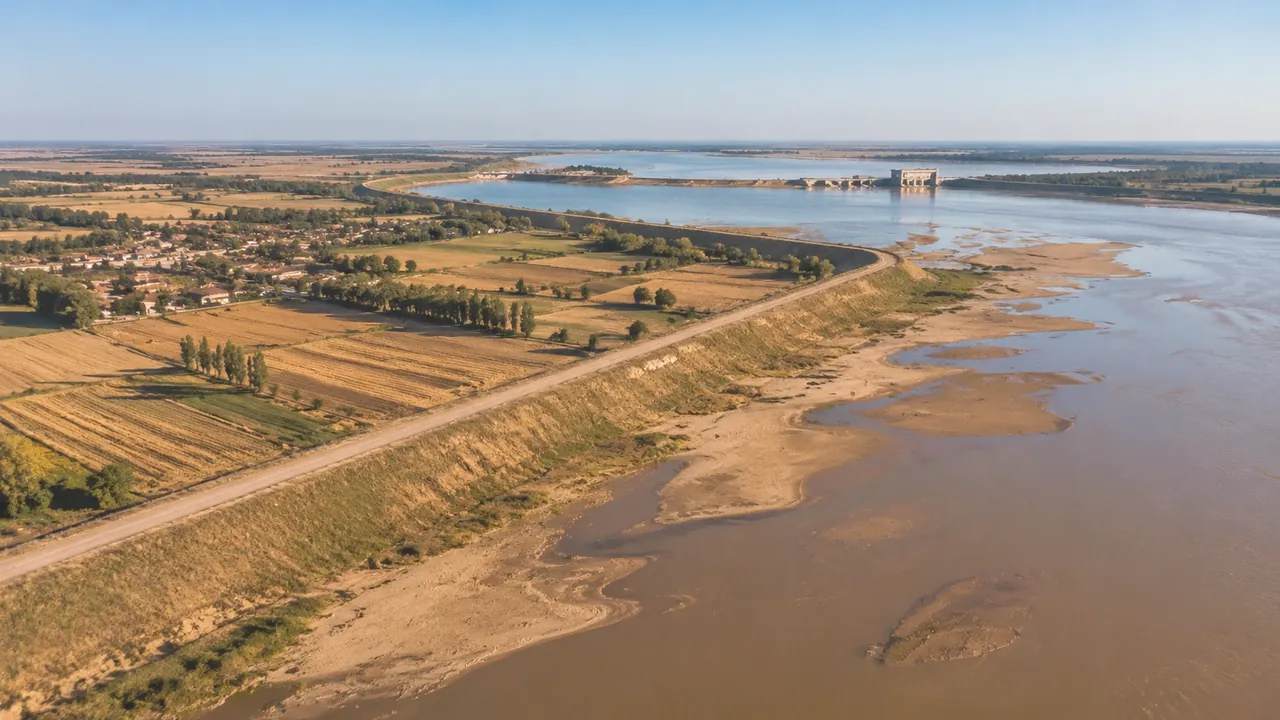
A flight brief needs a shared picture of where the crew will stand, what they will see, and what sits between the launch point and the structure. A 3D scene gives that picture a scale. The team can point to the launch area, the access road, and the nearest buildings instead of describing them in paragraphs.
The scene also helps with staging. Cases, batteries, and a ground station need space, and the route from the vehicle to the launch point has to work with the equipment. Seeing the site in 3D makes those logistics a spatial question rather than a list.
3.2 What should be checked on site?
Check the ground that the imagery cannot settle. Sand moves, vegetation grows, and a gate that appears open on a satellite image may be locked. Check the launch surface, the access route, and the space around the launch point before the crew relies on the scene.
Check permissions and notices as well. Land access, local rules, and operator requirements are not part of the scene, and a model that looks clear does not mean the site is available.
4 Limits over water
4.1 What does the model not know about the sea?
The model does not know about tides, currents, wind, or visibility. Nothing in the scene tracks where vessels will be either, or how the water will look on the day of the operation. Those are field and forecast questions, and they belong to the flight team.
The model also does not know about airspace. Controlled airspace, temporary restrictions, and local notices come from aviation sources, not from a site scene. A route that looks clear over the water may still require coordination before it can be flown.
4.2 When is the scene the wrong tool?
The scene is the wrong tool when the question is about flight safety on a given day. Weather, sea state, and airspace change faster than any site model, and a static scene cannot represent them. It is also wrong when the question is about the offshore structure itself, which needs its own drawings and inspection data.
Use the scene for what it holds: the land, the shoreline, and the built context at the launch end. Use the flight tools for the path, and the forecasts for the day.
5 Building the coastal scene in GenAnywhere
5.1 How is an offshore site built?
GenAnywhere starts from a map selection and generates a scene from map and satellite data. Buildings, terrain, water, and vegetation appear as editable objects, with outlines, estimated heights, inferred types, and surrounding greenery. For a coastal site, that covers the harbor buildings, the shoreline, and the ground where a crew would stage.
The water surface in the scene is a visual reference. It does not represent tide or sea state, and it should not be read as a navigational surface. The scene is a planning view of the place, not a chart.
Terrain follows the shore and the ground behind it, so a launch area on a slope reads as a slope. Vegetation and buildings can be toggled by layer, which helps when the crew needs to check a sightline from the staging area to the water.
5.2 What can be edited before export?
Buildings can be replaced, moved, rotated, and changed in height or type, and terrain and vegetation can be shown or hidden by layer. A team can test a staging area by moving a building or clearing a view, then review the result from the launch point. Those edits are quick, which makes them useful in a briefing.
The scene exports as a general GLB file for 3D, BIM, GIS, and game engine workflows, including the tools covered in the official tutorials. It is a review asset, not a survey product, and coordinates are handled by the receiving software. Open the browser app to build the coast, then use the site workflow to prepare the briefing view.
6 Working with partners
6.1 What should be shared with a flight team?
Share the scene, a short note on its source date, and the specific views that answer the team's questions. Add the launch point, the access route, and any structures the route must avoid at the landward end. Keep the flight path out of the scene and share it as a separate plan.
Also share what the scene does not show. A note that the water surface is a static reference, and that tides and vessels are not included, prevents a reader from treating the model as an operational picture.
6.2 How do teams keep the file current?
Rebuild the scene when the shoreline or the harbor changes, or when the source imagery is replaced. Keep the date in the file name and in the note that travels with it. A flight team that knows the scene is old can plan around it; one that assumes it is current cannot.
Review the scene before each campaign rather than once a year. Coastal sites change with storms and construction, and a quick check against recent imagery catches most of the difference.
6.3 How does a team begin?
Pick one launch site and build the area within a short walk of it. Include the shoreline, the access road, and the buildings that shape the staging area. Keep the opening pass simple, and review it with the crew that will use the site.
Then compare it with what the crew knows. Their corrections, such as a gate that is always locked or a patch that floods, are the most valuable part of the review. Add those notes to the next version and keep the scene tied to the operation it supports.
7 FAQ
FAQ-1 Can the model show airspace or flight restrictions?
No. Airspace and temporary restrictions come from aviation authorities and official notices, not from a site scene. The model shows the land, the shoreline, and nearby structures. Flight planning and airspace checks happen in the tools and sources built for that purpose, and they should be completed before any operation. A clear view over water says nothing about whether the route can be flown.
FAQ-2 How current is the imagery?
The scene reflects the map and satellite data available when the coast was generated. Shorelines move, construction appears, and vegetation changes, so the scene may not match the ground on the day of use. Check the capture date and verify recent changes on site. Put that date on the briefing view so the crew knows what the scene represents.
FAQ-3 Can teams compare two launch points?
Yes. Build each launch area from its own map selection, then review them with the same camera and layer settings. Compare staging space, access, and the structures that shape the route. The scene supports the comparison; it does not decide which launch point is safer. Keep the same assumptions about crew size and equipment so the comparison stays fair.
FAQ-4 What does the exported file support?
The scene exports as a general GLB file that many 3D, BIM, GIS, and game engine tools can import. Import behavior varies, and units, materials, and origins may need adjustment. Test the file with the application the team uses before a briefing depends on it, and confirm which version of the file the flight crew received.
Content and technical notes
This article was prepared by the GenAnywhere team with AI-assisted drafting and human review.
Product features, formats, and availability change as the platform evolves; refer to the official GenAnywhere website for current details.
For technical questions or corrections, contact support@genanywhere.com.
Last reviewed: 2026-11-11.