
Data center buffer review: what a site model shows, GenAnywhere
How screening, distance, and the approach from the road can be compared before a hearing.
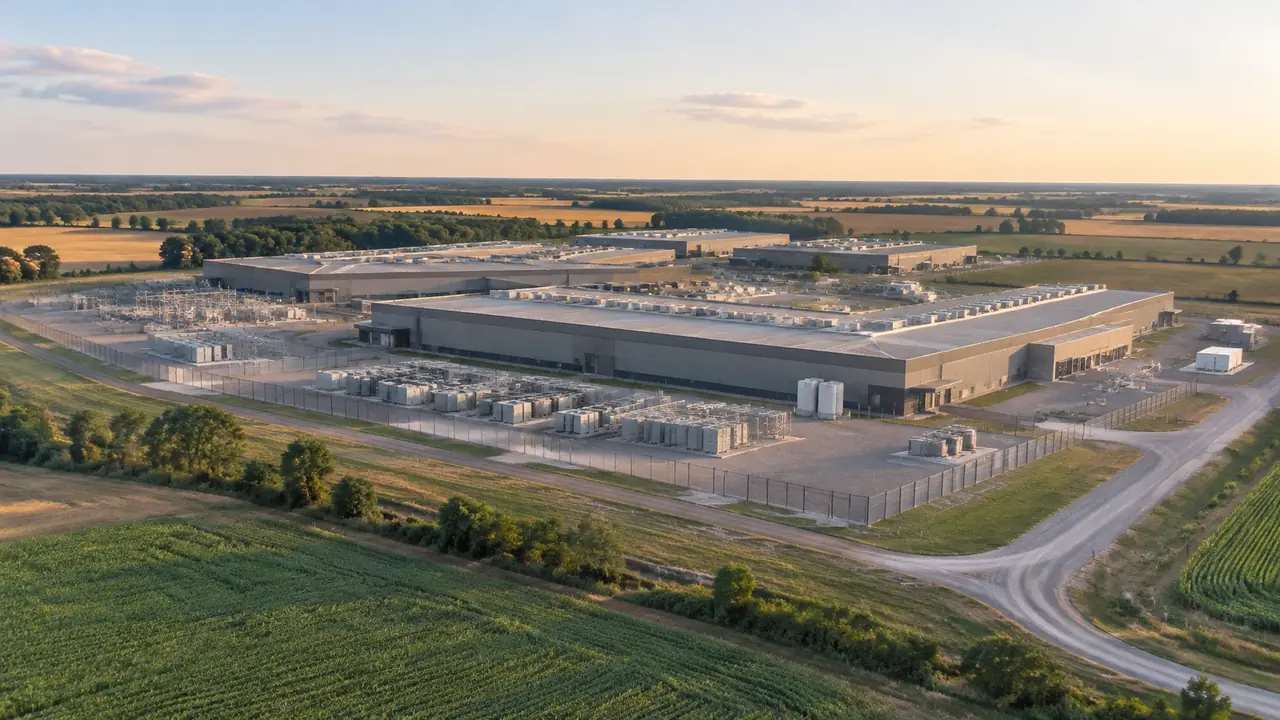
A data center buffer review often starts with a site plan, a landscape buffer, and a short description of screening. Reviewers then have to judge how the building and its buffer will read from the road, the neighboring property, and the ridge beyond. A 3D site model puts those elements in one view, so the buffer question is discussed in context rather than in the abstract.
1 What a buffer question looks like at review
1.1 Distance, screening, and the neighbor's view
A buffer is usually described as a distance and a set of plantings. At review, the question is more specific: what will a person see from the property line, the kitchen window, or the road that passes the site. Distance helps, but intervening grades, existing trees, and the height of the building change the answer.
The neighbor's view is not a single image. It changes as someone walks the edge of their lot or drives past on the way home. A model that shows a few of those positions gives the review a more honest picture than a section drawing taken at one cut line.
1.2 Why a site plan alone can mislead
A site plan is drawn from above and flattened. A berm looks like a thin line, a row of trees looks like circles, and the building reads as a rectangle. None of that conveys how the edge will feel from the ground. The gap matters most when the site sits above or below the surrounding land.
Screening also depends on season and maturity. New plantings take years to reach the height shown in a landscape plan, and a model that shows mature trees can overstate the buffer during the early years of operation.
2 Read the parcel in its setting
2.1 Pull the site and surrounding land cover
GenAnywhere builds an editable site model from an area selected on the map. Buildings, terrain, water, and vegetation arrive as separate layers, and the surrounding land cover gives the parcel a setting. That context is the starting point for a buffer conversation, because the buffer matters mainly in relation to what is already there.
Include enough surrounding area to cover the places people will look from. A neighboring subdivision, a county road, and a ridgeline may all sit outside the parcel but inside the view. Extending the model boundary is cheaper than discovering later that the relevant viewpoint was never modeled.
2.2 Mark the edges people will notice
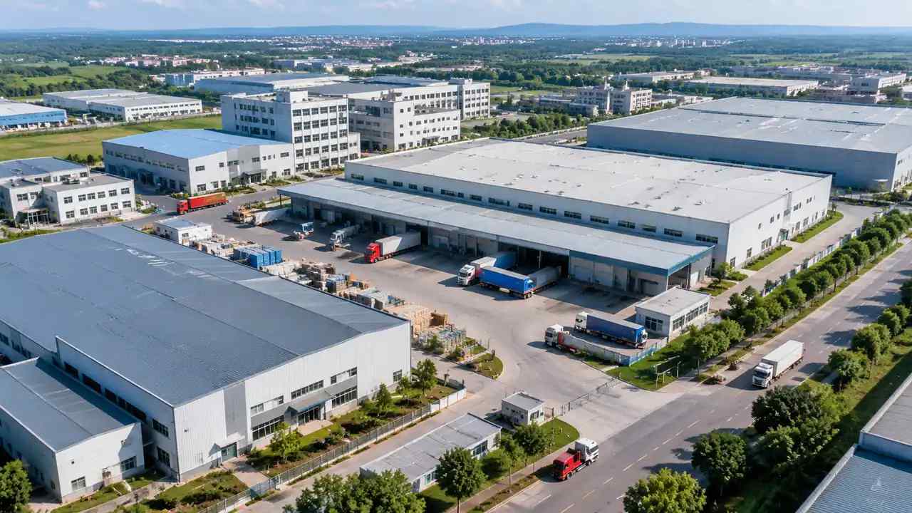
Walk the perimeter of the site in the model and note where the public can see in. Gate entrances, parking edges, and the corners nearest to homes usually matter more than the middle of a long side. Mark those positions so the review can return to them.
The edges also show where screening has gaps. A fence line may stop short of a corner, or a berm may leave a sightline open at a driveway. Those details are easy to miss in a plan and hard to ignore in a view from the road.
3 Test screening and setback options
3.1 Compare berms, walls, and planted edges as volumes
A buffer can take several forms, and the review often involves a choice between them. A berm, a wall, and a dense planted edge each occupy space and produce a different silhouette. Modeling them as simple volumes lets the team compare height, length, and the amount of land each option consumes.
The comparison is about arrangement, not engineering. A berm shown as a smooth mass does not tell you whether it can be built with the available soil or how it drains. It does show whether the option blocks the view it is meant to block and whether it fits inside the setback.
3.2 Check the approach from public roads
Most people encounter a data center from a road. Set cameras along the approach at driver height and look toward the site. The building may be hidden behind a rise, or it may sit on the skyline for a mile before the entrance. Both conditions shape how the project is perceived.
Repeat the view with each buffer option in place. A wall that works at the property line may do little from the road, while a planted edge that looks modest on the plan can soften the approach over time.
4 Support the conversation, not the verdict
4.1 Give staff a shared reference
Planning staff often need to explain a proposal to people who have not read the file. A model gives them a reference they can open in a meeting, rotate, and use to answer questions about a specific edge. That is more useful than describing a buffer in terms of plant units per foot.
The reference also helps across departments. Public works, fire, and utilities can look at the same scene and raise their own concerns about access, hydrants, or easements without waiting for a new drawing.
4.2 Show the applicant where the argument weakens
Applicants benefit from seeing their own proposal the way a neighbor will. A view from the adjacent lot can reveal that the screening assumes a mature landscape or that the building sits higher than the plan suggests. Finding that out before the hearing is better for everyone.
The model should not be used to ambush an applicant. Share the scenes in advance and give the team a chance to correct the geometry. A corrected model is a stronger basis for discussion than a surprise.
Timing matters for the same reason. A buffer comparison shared a week before a hearing can still change a landscape plan. One shared the morning of the meeting tends to produce defensiveness and a long argument about assumptions rather than the view itself.
5 Limits before you promise anything
5.1 Noise, traffic, and utilities need other studies
A buffer model addresses visual exposure. It says nothing about noise levels, traffic generation, water use, or electrical infrastructure. Those questions require their own analysis and their own experts. A handsome screening view can coexist with a serious noise problem, and the review should keep the topics separate.
The same applies to lighting. Nighttime glare depends on fixture design, aiming, and operations, none of which a massing model captures. If lighting is part of the concern, ask for a lighting plan.

5.2 Data behind the model
Building heights are estimated from available data, and vegetation is represented at a general level. A data center campus may include structures that are not visible in the source imagery, and recent site work may be missing. Correct the main volumes before using the scene in a public meeting.
For context on how data centers are planned and operated, the U.S. Department of Energy publishes background on the sector. That material can help a review team frame questions that go beyond the buffer.
6 Run a review-ready session
6.1 Agree on the question
A buffer discussion can drift between visual impact, land use compatibility, and operational concerns. Start by writing the question on the screen: what does the site look like from the nearest homes and the main road under each option. A narrow question produces a more useful session.
6.2 Prepare two options and a baseline
Show the site as it exists, then two buffer options. More alternatives tend to dilute the comparison. If the applicant has proposed a specific design, use that as one option and a stricter alternative as the other. The baseline keeps the discussion anchored to the place rather than to an abstract standard.
6.3 Note what the model leaves out
Close with a short list of what the scene does not cover: noise, lighting, traffic, drainage, and the maturity of plantings. Write it into the meeting record. The list protects the review from being read as a complete impact assessment and gives the applicant a clear idea of what else is expected.
To try a buffer comparison on a parcel you know, open the GenAnywhere app and model the site with its surrounding land cover. The platform workflow overview explains how a scene moves from map selection to export.
7 FAQ
FAQ-1 Can the model measure the distance from a property line to the building?
The scene gives you a visual sense of distance, and you can compare positions against the surrounding parcels. It is not a substitute for a boundary survey or a recorded plat. For a review, take the dimensions from the applicant's plan and use the model to show how those dimensions read from the places people will stand. Keep the legal boundary question with the documents that establish it.
FAQ-2 Are berms and walls modeled as solid volumes?
They can be represented as simple masses so the team can compare height, length, and silhouette. Those masses do not carry engineering detail such as slope stability, drainage, or construction method. Use them to test whether an option blocks the intended view and fits within the available land. Confirm the buildable form with the applicant's landscape architect or engineer.
FAQ-3 Can county staff use this during a pre-application meeting?
Yes. A pre-application meeting is a good moment to look at the site together, before positions harden. Staff can show the parcel in context, point to the edges that will draw comments, and ask the applicant which buffer option is proposed. The scene does not replace the application materials, but it can make the initial conversation more specific.
FAQ-4 Does a buffer model decide whether an application is approved?
No. It shows visual conditions under stated assumptions. Approval depends on the applicable ordinance, the complete application, and the judgment of the deciding body. The model can help staff and neighbors understand what a proposal would look like from nearby viewpoints, and it can reveal where screening assumptions need support. It is evidence for a conversation, not a finding.
Content and technical notes
This article was prepared by the GenAnywhere team with AI-assisted drafting and human review.
Product features, formats, and availability change as the platform evolves; refer to the official GenAnywhere website for current details.
For technical questions or corrections, contact support@genanywhere.com.
Last reviewed: 2026-11-12.