
Urban tree mapping: can street teams use GenAnywhere?
How a map-based vegetation layer helps street crews plan surveys, planting space, and maintenance routes.
Street trees are easy to count in a report and hard to manage on the ground. A crew needs to know which blocks are dense, where planting space is tight, and which routes to walk. A map-based 3D scene gives that work a visual starting point, as long as everyone remembers that the canopy is inferred rather than inventoried. Urban tree mapping with a scene like this is a way to plan the survey, not a way to skip it.
1 Understand what map-based vegetation can show
Vegetation in a site scene comes from map and satellite sources. It can show where tree groups sit and how they relate to buildings and streets. It cannot identify species, age, or health. Knowing that boundary is the difference between a useful planning aid and a misleading tree register.
1.1 See tree groups along streets and lots
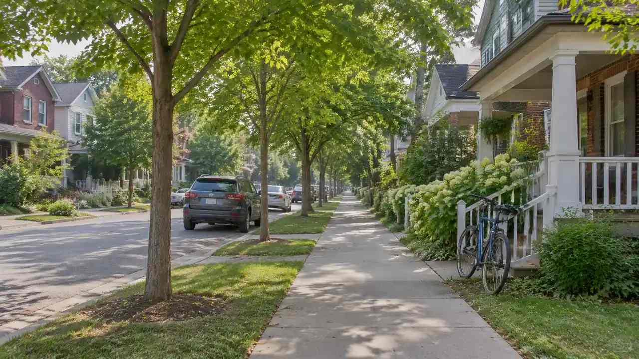
The scene shows clusters of vegetation along roads, in parks, and inside larger parcels. That pattern is useful for understanding where a street feels green and where it feels bare. It also shows how trees sit relative to buildings and open space. Use it to start a conversation about character and coverage, not to count stems. A street with scattered trees and one with a continuous line read differently in the scene. The pattern also shows where a new street tree would have room to grow.
1.2 Treat canopy shapes as estimates
Canopy shapes are inferred from imagery and may be simplified or misplaced. A large tree can appear as a rounded mass, and a group of small trees can merge into one shape. Check important locations against aerial imagery or a site visit. The estimate is good enough for planning context and not good enough for a maintenance record. If a tree matters to a decision, confirm it on site before the meeting.
2 Plan a field survey around the model
A survey crew has limited time and a long list of streets. The scene helps prioritize where to go and what to check. The output of this step is a route plan, not a completed inventory.
2.1 Prioritize blocks with dense canopy
Dense blocks usually need more inspection time, especially where trees sit close to buildings or overhead lines. Use the scene to identify those areas and compare them with the survey brief. A block that looks dense on the map may include private gardens that are outside the survey scope. Check the boundary before assigning time, so the crew does not spend time on out-of-scope land.
2.2 Assign routes by street segment
Divide the work by street segment and assign each segment to a crew. The scene gives every crew the same view of the area and helps avoid duplicate visits. Note the segments that need a ladder, a bucket truck, or a second person. Route planning is a practical task, and the visual context makes it faster. A short written route plan is easier to update than a marked-up map. Keep the segment boundaries the same as the ones used by the maintenance team.
3 Connect canopy context to street design
Street design decisions often depend on trees, and tree decisions depend on the street. Planting space, utilities, and pedestrian clearance all interact. A shared scene lets the design and maintenance teams see the same constraints.
3.1 Check planting space beside utilities
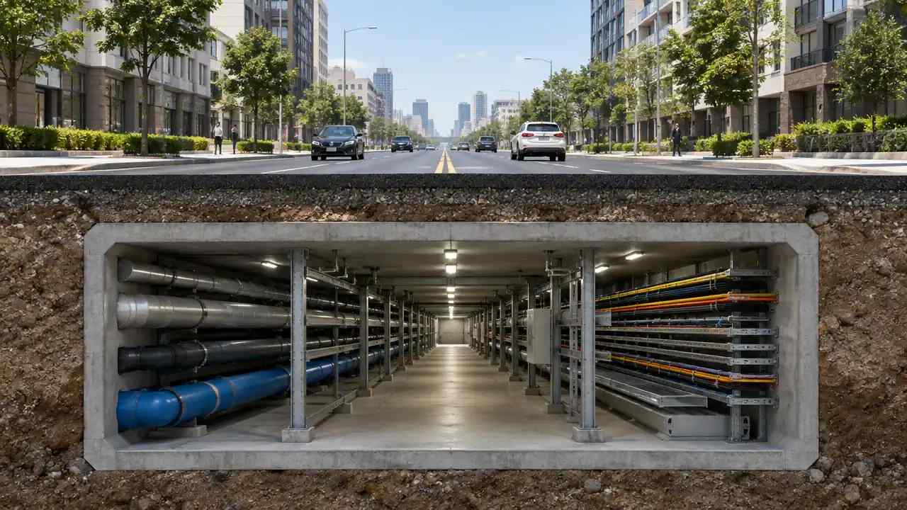
Look at the strip between the curb and the property line and note the utilities that share it. A tree needs root space and a canopy that will not conflict with overhead lines. The scene shows the surface layout, not the buried services, so confirm utility locations with the records. Use the view to ask better questions before a planting plan is drawn. The scene will not show root barriers or soil volume, so add those questions to the design brief. Planting space is often decided before the species is chosen, which is a recipe for conflict.
3.2 Compare canopy cover across sidewalks
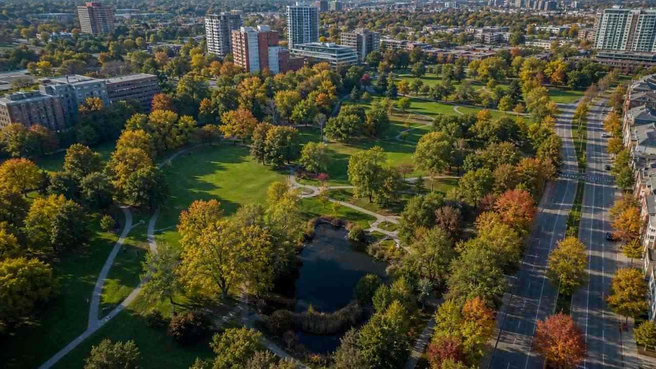
Compare how much canopy sits over different sidewalks and how that changes along a route. A street with gaps may feel exposed, while a continuous canopy may create maintenance issues. The comparison is visual and approximate. It helps the team decide where to plant and where to prune, but it does not replace a tree survey or a shade study. A continuous canopy can also hide street lights and signs, which maintenance crews need to see. That sequence keeps the maintenance plan tied to what the street actually looks like.
4 Share the vegetation layer with maintenance teams
Maintenance teams need a simple view they can use in the field. A 3D scene is not a work-order system, but it can provide context for the work. The value comes from sharing the same picture across teams.
4.1 Export trees with buildings and terrain
GenAnywhere keeps vegetation, buildings, and terrain in separate layers, and the scene exports as a general GLB file. A maintenance team can open the export in a viewer and see how trees relate to buildings and access routes. The export is a snapshot, not a live register. Label the date so the team knows how current it is. The layer names should match the terms the maintenance team uses. A crew can also hide the buildings to read the canopy along a street, and the scene can be rebuilt for another neighborhood from the same map sources.
4.2 Keep edits separate from the official register
Do not treat scene edits as changes to the official tree inventory. Use the scene to test a planting idea or a removal option, then record the decision in the register. Keeping the two separate avoids confusion about which source is authoritative. The scene supports discussion, and the register supports operations. Date every export so a crew knows whether it matches the current register.
5 Respect the limits of inferred vegetation
A map-based canopy is a starting point, and every street team knows the difference between a shape on a screen and a tree on a pavement. The limits are practical: species, condition, ownership, and permissions all sit outside the model.
5.1 Species and health need field checks
Species, diameter, condition, and risk cannot be inferred from a canopy shape. Those require a field assessment by a qualified arboriculturist. The scene can tell a crew where to look, and the assessment tells them what to record. Keep the two outputs separate and dated. A short inspection form keeps field records consistent across crews.
5.2 Removal permits follow local rules
Tree removal and pruning are regulated in many cities, and the rules vary by species, size, and location. The scene can show a proposed change, but it cannot determine whether a permit is required. Bodies such as the International Society of Arboriculture publish guidance on tree assessment and care. Check the local ordinance before any work is planned. The ordinance can cover pruning as well as removal, so check both before scheduling work. The local authority can confirm which trees are protected.
6 Set up a street tree review cycle
A street tree program works as a cycle: map, survey, decide, maintain, and update. The scene fits at the start and end of that cycle, where context and communication matter most. A short review rhythm keeps the data from going stale.
6.1 Collect the base map and inventory
Start with the most current base map and the tree inventory. Note the date and source of each, and record any known gaps. A clean starting point makes the scene more useful and the survey plan more credible. A simple file naming rule prevents version confusion later. Do not mix an old inventory with a new base map without labeling the difference.
6.2 Mark gaps for survey teams
Use the scene to mark streets with missing or uncertain data. Send the list to the survey team with the route plan. The marks are questions, not findings, and the team should confirm each one on site. A short list of clear gaps is more useful than a long list of vague concerns. Mark the uncertainty level, not just the gap.
6.3 Update the scene after field data arrives
When the survey comes back, update the scene or replace the layer with the verified data. Record what changed and when, so the next review starts from a known state. Teams can open GenAnywhere to rebuild the street context and use the workflow overview to plan the handoff. A cycle that closes the loop stays useful. Record the survey date beside the updated layer. A short note on what changed helps the next reviewer trust the layer.
7 FAQ
FAQ-1 Can this replace a tree inventory?
No. A tree inventory records species, size, condition, and location, usually through a field survey. The scene provides inferred canopy context from map and satellite data. Use it to plan the survey and to communicate results, not to substitute for the inventory. The two work well when the scene is labeled as context and the inventory is treated as the authoritative record.
FAQ-2 How accurate are the tree positions?
Positions are approximate and depend on the source imagery and the size of the canopy. A large tree may appear offset by several meters, and small trees may not appear at all. Check anything that affects a decision, such as a tree near a building or a utility line, against a survey or a site visit. Treat the scene as a planning aid.
FAQ-3 Can the scene show tree health?
No. Health depends on species, age, soil, water, pests, and maintenance history, none of which can be inferred reliably from imagery. A qualified arboriculturist needs to inspect the tree. The scene can show where trees are and how they relate to the street, which helps prioritize inspections. It cannot replace them.
FAQ-4 Who should use the scene?
Street crews, landscape architects, planners, and maintenance managers can all use the same view for different questions. Crews need routes, designers need planting space, and managers need a shared picture of the program. Agree on a common labeling convention so each group knows what the layers represent. A short briefing is usually enough to get everyone started.
Content and technical notes
This article was prepared by the GenAnywhere team with AI-assisted drafting and human review.
Product features, formats, and availability change as the platform evolves; refer to the official GenAnywhere website for current details.
For technical questions or corrections, contact support@genanywhere.com.
Last reviewed: 2026-11-16.