
Bristol wetland city: can GenAnywhere map flood storage sites?
How site teams can sketch storage areas along the Avon corridor before land decisions harden.
Bristol's storage question is mostly a land question. A team needs to see which low-lying parcels beside the Avon and Frome could take water, and how those parcels sit against existing buildings, roads, and vegetation. GenAnywhere can build an editable 3D site model from a map selection, so the discussion starts from geometry rather than a list of addresses. It does not replace hydraulic modeling or a planning decision.
1 What the storage question actually asks
1.1 Which parcels sit low enough to hold water?
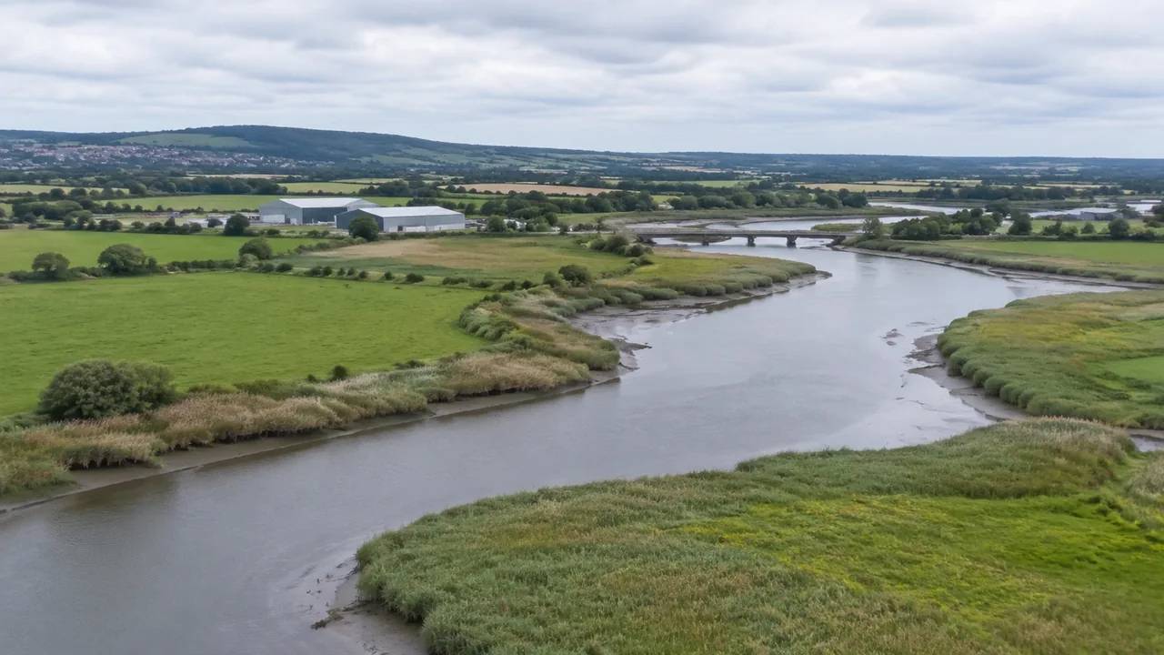
Storage areas need ground that can take water without pushing it into homes. Around Bristol that often means meadow land, playing fields, and former industrial plots close to the river, where the ground is flat and the channel is near. A planning team usually starts with a flood map and a shortlist, then tries to judge whether each site has room for a basin, an inlet, and an outlet that can be maintained. Reading those parcels one at a time is slow, and it hides how water moves between them. A shared scene lets the team see the chain of low ground as one connected corridor.
1.2 What does a storage area need beyond depth?
Depth is the easy number to quote and the least useful on its own. A storage area also needs an inlet that can take peak flow, an outlet that does not back up, maintenance access wide enough for machinery, and a boundary that neighbors will accept. In dense parts of the city the constraint is often the edge rather than the middle. A basin that fits the field but cuts off a footpath will struggle in consultation. Sketching the surrounding context early keeps those edges visible while the layout is still flexible.
2 Reading the Avon corridor as a system
2.1 How do tidal and fluvial influences overlap?
Bristol sits close to the Severn Estuary, and the Avon is tidal through parts of the city. A storage area can face high water from downstream at the same time as high flow from upstream, and the two conditions do not always arrive together. A team that sketches parcels individually may miss the combined case. Putting the corridor into one scene helps planners ask where a basin would help in both conditions and where it would simply move the problem downstream. The answer still needs hydrology, but the question becomes clearer.
2.2 Where do existing buildings constrain the space?
The river corridor is not empty. Warehouses, yards, sports grounds, and housing all sit close to the water, and each sets a different kind of limit. A scene that shows building footprints and estimated heights lets the team judge how much space a storage area would take from its neighbors. It also shows where a basin might sit behind an existing wall or embankment rather than in open ground. Those details change which parcels are worth a closer look.
3 Building a site model to compare options
3.1 How does GenAnywhere turn a map selection into editable geometry?
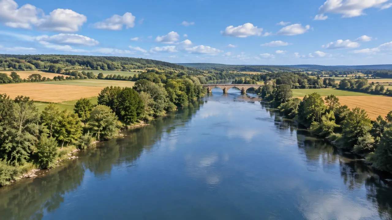
A user selects an area on the map, and GenAnywhere generates a 3D site model from satellite and map data. The model includes buildings, terrain, water, and vegetation, with terrain matched to the surrounding ground. Building footprints are recognized, heights estimated, and types inferred, which gives the team a scene that reads like the place rather than a flat outline. Vegetation around the site is analyzed in the same pass. For an initial storage-area discussion, that removes the need to commission a drone flight before anyone can see the corridor.
3.2 What can a team change before the model leaves the tool?
Individual buildings can be replaced, moved, rotated, or resized, and their heights and types adjusted. Layers for buildings, terrain, and vegetation can be previewed separately, so a team can isolate the ground when it wants to study low areas. That editing matters because the question is usually about removing or rearranging something, not just viewing it. A yard that could become a basin is easier to discuss when the neighboring sheds can be moved a few meters.
4 Testing layouts against real constraints
4.1 How should a team read building heights and footprints?
Estimated heights are a starting point for proportion, not a measured record. A team should use them to judge how a basin edge would sit against roofs and windows, then confirm anything that matters with a site visit or survey. Footprints are more reliable for discussion because they show where structures stand in relation to open ground. When a storage area would sit close to housing, the height reading helps residents see what the change means from their windows.
4.2 What belongs in a storage-area sketch review?
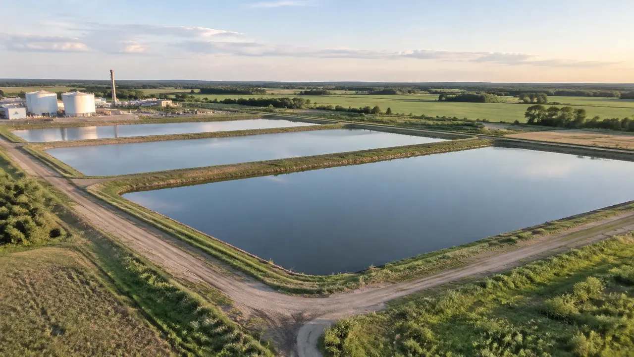
A useful review shows the candidate parcels, the proposed basin outline, the access route, and the neighbors that would notice. It should also show what the team is unsure about, such as ground conditions, ownership, or maintenance responsibility. Keeping uncertain items visible stops a sketch from being read as a finished design. The point of the review is to narrow the list, not to settle it.
Access is easy to forget in a storage sketch. Maintenance crews need to reach the inlet and outlet in wet weather, and a route that works on a dry day may not work in February. Putting the access route on the same drawing as the basin keeps that question in view.
5 Where the sketch stops and engineering starts
5.1 Which questions need a hydraulic model?
Storage volume, peak flow, and downstream effects belong to hydraulic modeling. A site scene can show where a basin might go and how it sits in the corridor, but it cannot say how much water it would hold or what that does to flood levels. Teams should hand the shortlist to an engineer with the scene as context. The scene makes the conversation about location more concrete. It does not answer the engineering question.
5.2 When is a 3D sketch the wrong tool?
If the decision depends on groundwater, soil permeability, or the condition of an old culvert, a visual scene adds little until those facts are known. The same is true when a site is small enough that a plan drawing settles the question. Reaching for a 3D model in those cases can slow a team down. The tool earns its place when the issue is how a change sits in its surroundings.
If a team cannot say what data is missing, the sketch is not ready for a decision. Listing those gaps is part of the work, not an admission of failure.
6 Turning the sketch into a shared decision
6.1 Who needs to see the same scene?
Storage decisions touch highways, ecology, drainage, estates, and community groups, and each tends to work from a different drawing. Bringing them into one scene reduces the translation work between disciplines. A highways officer can see the access route, an ecologist can see the vegetation layer, and a resident can see the edge nearest their home. Nobody needs to learn a new tool to read the picture.
6.2 What should the handoff package contain?
A short package works better than a long one: a scene overview, two or three candidate layouts, a note on what is estimated, and a list of open questions. Exported GLB files can move into 3D, BIM, GIS, or engine workflows. Exports carry a permanent commercial license, subject to platform terms; do not resell the source file or use it for AI training. Check third-party data rights before publishing.
6.3 How does a team keep the scene current?
A scene captures a moment, and river corridors change as sites are developed. Teams should note the date of the map data and refresh the scene when a parcel changes use or a new building appears. For a live project, a light review each time the shortlist moves is usually enough. Keeping the date visible prevents an old scene from being treated as current context.
To test the workflow on a corridor of your own, open GenAnywhere in a browser and follow the site workflow walkthrough. The RTPI guidance on plan making covers the planning context this sketch feeds into.
7 FAQ
FAQ-1 Can GenAnywhere show flood risk directly?
No. Flood risk and storage volume come from the statutory flood map and hydraulic modeling, not from a visual scene. A map-based model can help a team see where a storage area would sit, but it cannot estimate how much water the ground would hold. Keep the flood map and the engineer's assessment as the source for decisions.
FAQ-2 Does the model need a drone flight?
No drone flight is required to generate the initial site context. The scene is built from map and satellite data, so a team can start a conversation without arranging a survey. If a project later needs measured ground conditions or current site detail, that work still has to happen separately. The scene is a starting point, not a record of what sits on the ground today.
FAQ-3 Can residents read the scene without training?
In most cases, yes. The scene is a visual model, and people tend to read building shapes and ground levels without instruction. Teams should still explain what is estimated and what is proposed, because a realistic-looking model can imply more certainty than it holds. A short legend and a spoken note on limits usually prevent confusion.
FAQ-4 What can be exported for the design team?
The scene can be exported as a GLB file for use in 3D, BIM, GIS, or game engine workflows. Downstream teams can import it into tools such as Blender, Revit, Rhino, SketchUp, ArcGIS Pro, or a game engine, depending on their pipeline. Export options vary, so check the current formats before committing a project. The exported model comes with a permanent commercial license, subject to the platform's terms.
Content and technical notes
This article was prepared by the GenAnywhere team with AI-assisted drafting and human review.
Product features, formats, and availability change as the platform evolves; refer to the official GenAnywhere website for current details.
For technical questions or corrections, contact support@genanywhere.com.
Last reviewed: 2026-11-15.