
Venice heritage buildings: what GenAnywhere adds to site context
Using a 3D scene to discuss setting, massing, and access before design begins
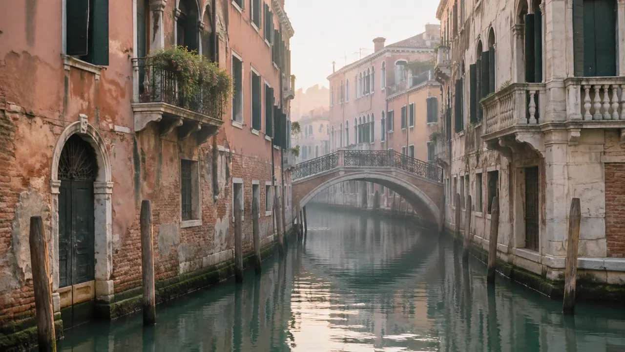
A review of Venice heritage buildings cannot stop at the facade. Setting, rooflines, canal edges, and the pattern of public space carry as much weight as the structure itself. GenAnywhere adds a quick visual context layer that helps a team talk about those relationships, while leaving conservation judgment to the people trained for it.
1 What heritage context changes in a site review
1.1 Look beyond a single building
In a historic city, the unit of review is often a block, a canal edge, or a sequence of views. A proposal can respect every rule about a single facade and still damage the setting that gives the facade meaning. Site teams therefore need to see relationships, not just parcels. The earlier those relationships are visible, the fewer drawings get redone.
A useful test is to ask what a visitor would notice while walking past. If the answer depends on a detail outside the property line, the review needs a wider frame. That habit keeps the parcel from becoming the whole story. The UNESCO listing for Venice and its lagoon describes the setting that reviews are trying to protect.
1.2 Find the data a site package omits
Standard site packages describe boundaries, easements, and utilities. They rarely describe how a roofline reads from across a canal or how a service entrance changes a quiet corner. Those qualities are usually captured in photographs and walking notes, which are hard to compare across options. A shared three-dimensional view can hold some of that information in one place.
A short walk with a camera often reveals more than a desktop review. Combine the two: photographs for texture and detail, a scene for geometry and comparison. Neither source is complete, and together they cover more ground.
2 Reading the city at the right scale
2.1 Read the city at three scales
Venice works at several scales at once. A single building sits in a campo, the campo opens to a canal, and the canal connects to a wider network of water and walking routes. A site review that zooms to the parcel can lose the network. A review that stays too wide can miss the doorway that makes a route work. Move between scales deliberately.
A simple method is to fix three views that the project will always be judged against. One from the water, one from the nearest public square, one from the arrival route. Returning to the same three views keeps debate grounded.
2.2 Where generic site data falls short
Satellite imagery shows roofs and water but says little about elevation changes at a threshold or the width of a passage. Map data may simplify a canal edge into a clean line. Anyone working in the historic core should expect to correct those simplifications with local knowledge. The model is a starting sketch, and the survey or site visit remains the authority.
Local knowledge should be captured in writing while it is fresh. Names of alleys, seasonal water levels, and the informal rules of a street are easy to lose between meetings. Add them to the project notes next to the model.
3 Building a shared visual baseline
3.1 What GenAnywhere can assemble from a map
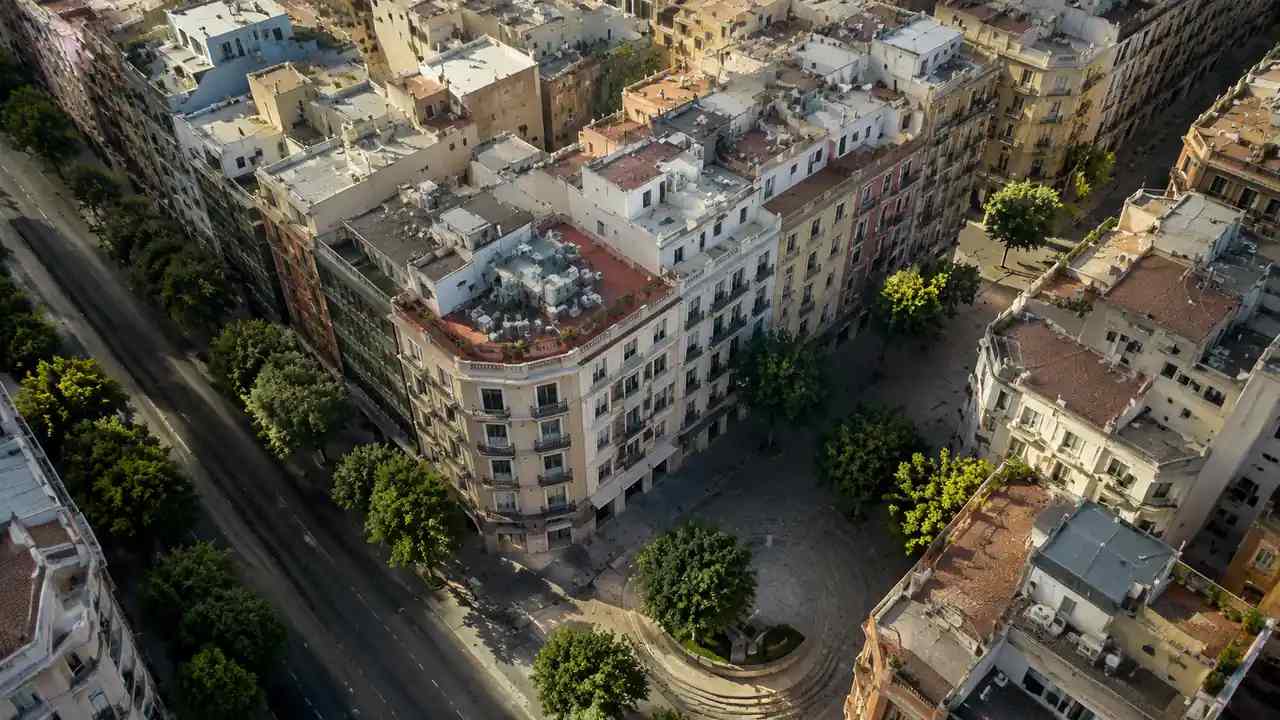
GenAnywhere can generate an editable 3D site model from map and satellite data for a selected area. It identifies building footprints, estimates height, infers type, and reads surrounding vegetation. Buildings, terrain, water, and planting come through as separate layers, and the scene can be edited before export as GLB. For a heritage discussion, the useful part is the shared frame: the same block, the same water edge, and the same camera position for every option.
The scene is a starting point that the team can correct, not a fixed survey product. Treat the initial pass as a draft that improves with local input.
3.2 What the scene cannot assess
The scene does not evaluate heritage significance, structural condition, or the quality of a material. It cannot tell a team whether a roof pitch is appropriate or whether a new opening respects a historic rhythm. Those judgments belong to conservators, architects, and the local authority. A generated model is a communication surface, and treating it as a heritage assessment would be a mistake.
It also cannot show what a material looks like in morning light or how a doorway feels at walking pace. Those are matters for visits, samples, and professional judgment.
4 Questions that belong to conservators and planners
4.1 Check height, roofline, and silhouette
Height is easier to debate when everyone sees the same silhouette. Ask how a proposed volume reads from the opposite bank, from a nearby bridge, and from the street that leads to it. A small change in roof form can matter more than a large change in floor area. Record the views that informed the decision.
Silhouette studies are more useful when they include the neighboring roofline, not just the proposed building. Context is what turns a height number into a design question.
4.2 Map access, servicing, and public realm
Service access is where many otherwise careful proposals become awkward. Deliveries, refuse collection, and emergency access all need space, and in a tight historic fabric that space is often public. Map the routes on the same scene as the massing. Then ask which movements can be shared and which need a separate path.
Ask the people who service the area what they need. Their answers often reveal a constraint that no drawing shows, and they are usually happy to explain it.
5 Comparing options without flattening context
5.1 Compare views with the same settings
Use the same scene extent, camera height, and layer set for each option. If one option is shown at eye level and another from above, the comparison is no longer about design. GenAnywhere makes it practical to keep one site frame and swap the edited buildings inside it. Consistency is the point, not the polish of the image.
Save the camera positions as part of the project record. When a new option appears, it can be rendered from the same points without a debate about framing.
5.2 Keeping alternatives honest
Note which parts of each option are modeled and which are still diagrammatic. A proposal that has been through design development will look more resolved than one that has not. Say so in the caption and in the meeting. Honest comparisons protect the weaker option from being dismissed for the wrong reason.
One page of assumptions is enough. It does not need to be polished, and it should be easy to update when a question is answered.
6 When context should stop a scheme early
6.1 Watch for warning signs in massing
A scheme deserves a pause when it blocks a recognized view, turns a public edge into a private one, or relies on access that cuts through a sensitive frontage. None of those signals is a formal finding. They are reasons to bring the right specialist in before more detail is added. Early questions are cheaper than late revisions.
Name the view or the route that is at risk. A general concern is hard to act on, while a specific view can be studied, discussed, and either protected or accepted.
6.2 Document what the next reviewer needs
Keep the scene file, the camera positions, the source imagery date, and a short note on what each view was meant to test. Add the questions that remain open and the names of the people who raised them. A reviewer who can see the reasoning will spend time on the design instead of reconstructing the file.
Screenshots are useful for a quick briefing, but the scene file is what lets someone check your work. Share both when the audience has the tools to open them.
6.3 Handing the scene to a wider team
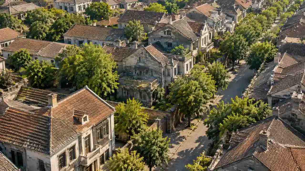
Export a GLB when the team needs to open the context in a design or visualization tool. Keep the native layers available for later edits, and label the export with a date. The wider team gets a usable scene, and the site group keeps a record of what was shared. Both matter when a project runs for months.
Ask the receiving team what format they can open before exporting. A file that nobody can read is not a handoff.
Generate a site model from a map
7 FAQ
FAQ-1 Can a 3D site model help with heritage review?
It can help a team see setting and massing together, which makes conversations more specific. It does not assess heritage value or replace a conservation statement. Use it to frame views and questions, then bring those questions to the qualified reviewers. The model supports the process rather than deciding it.
FAQ-2 Does GenAnywhere use official heritage boundary data?
No. The platform generates a general site scene from map and satellite sources. Official boundaries, listed building records, and local designations need to be added from the responsible authority. Treat the generated scene as background context and keep the official record separate. Keep the designation list next to the model so the two are not confused during review.
FAQ-3 What about canals and water in the model?
Water appears as a layer in the generated scene, which helps a team read the edge between land and canal. It is a visual representation, not a survey of the channel or a model of tide and flood behavior. For engineering questions about water, use the appropriate local studies. Local tide and flood records are the right place to start.
FAQ-4 Is the exported model suitable for a planning submission?
The export is a GLB scene intended for design and visualization workflows. A planning submission usually needs drawings, reports, and surveys prepared to local standards. Ask the authority what it requires, and treat the model as supporting material rather than the submission itself. If in doubt, request the checklist before the package is assembled.
See how the workflow fits together
Content and technical notes
This article was prepared by the GenAnywhere team with AI-assisted drafting and human review.
Product features, formats, and availability change as the platform evolves; refer to the official GenAnywhere website for current details.
For technical questions or corrections, contact support@genanywhere.com.
Last reviewed: 2026-11-14.