
Can GenAnywhere model railway tracks? What it needs
The site model gives a rail study its corridor, ground and lineside context; the track itself has to arrive from a design file.
No, GenAnywhere does not build track. The platform generates the site around a railway: terrain, water, vegetation and building volumes taken from map and satellite data. Rails, sleepers, ballast and catenary come from an alignment in a design model, which is overlaid in a downstream tool. What the platform can do is give that overlay the ground it needs and a context that holds up in a review.
1 What the scene already gives a rail corridor
1.1 Ground along the corridor
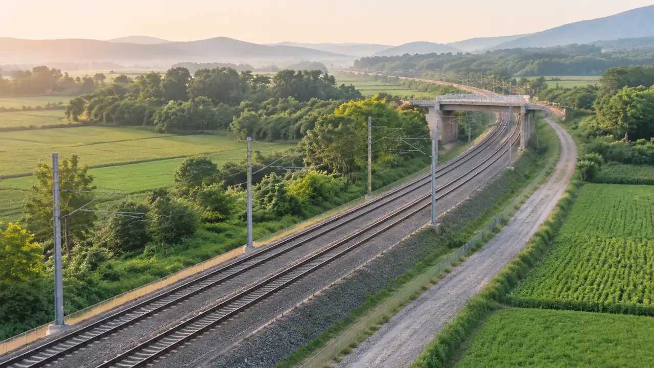
The terrain follows the mapped ground, so a corridor that runs through a cutting or along an embankment shows as a slope rather than as an engineered structure. That distinction is worth stating, because the slope you see is the shape of the land, not a designed section with drainage, retaining walls and a formation. For a study about how a line sits in its valley, the shape is what the argument needs. For anything about the section itself, the design file is the source.
1.2 Buildings, yards and lineside vegetation
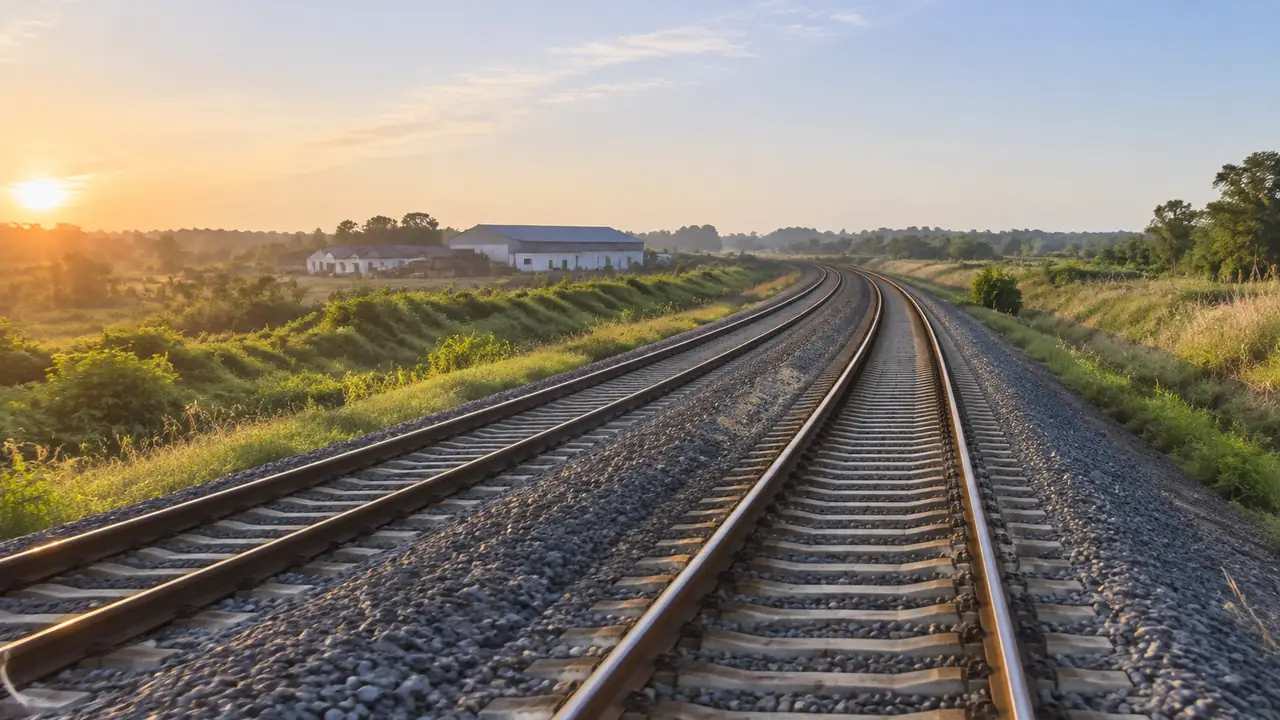
Building footprints in the map data become volumes with estimated heights, so goods sheds, depots and lineside workshops appear without anyone drawing them. Vegetation is generated as part of the scene, which matters on a corridor where lineside growth marks the boundary better than a fence line ever does. Both can be corrected where the audience knows better. A depot that was rebuilt last year, or a stand of trees cleared for a new access, is a two-minute fix that stops the review from arguing about the wrong constraint.
2 What the platform does not model
2.1 Track, ballast, catenary and signalling
Permanent way is a design asset. The platform has no track geometry, no turnout logic, no overhead line equipment and no signalling equipment, and its documentation does not claim otherwise. Teams bring these from the alignment designer or from a library of standard components. Plan the overlay before the review rather than during it, because an audience that expects to see rails will keep asking where they are until someone says plainly that they belong to another file. A list of the permanent way elements expected in the overlay is worth having on hand for that moment.
2.2 Structures that need their own engineering
Bridges, tunnels, retaining walls and platforms are engineered structures with their own design process. A large bridge may read as a mass in the terrain or in the map data, and a station building may appear as a volume, but neither is a structural model. Keep those elements in the design set and use the scene to show where they sit. If a structure is central to the question, the review needs the structure's own drawings beside the scene, not a shape standing in for them.
3 What the track overlay needs
3.1 An alignment from the design file
The overlay needs a horizontal and vertical alignment from a source the team trusts, in a coordinate system the receiving tool understands. Export the scene as a GLB, import the alignment in the same environment, and check that the two line up before anyone presents a picture. Where the alignment is still being tested, two variants can be compared against the same ground, which is often the real value of the exercise. The platform overview describes what the scene contributes to that pairing.
3.2 One level reference both sides accept
Ground and track rarely agree on the day they meet. Decide which level reference the review uses, whether that is the terrain in the scene or the datum in the design file, and say so in the note that travels with the images. A vertical offset of a metre is easy to miss on a wide view and impossible to defend once a screenshot is in a report. Checking a known point, such as a bridge soffit or a platform edge, is quicker than reasoning about it.
4 What the scene can and cannot answer
4.1 Questions it handles well
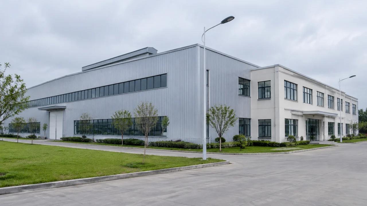
It shows how a corridor reads in its setting: where the line passes close to housing, where a depot sits against the town, how much open ground remains beside the formation for a future track. It also shows which buildings crowd the route and where vegetation hides the alignment from the road. Those are the questions that fill the early part of a rail study, and a scene answers them faster than a set of plans. Reviewers can move the camera and settle an argument about what is visible from where in a minute.
4.2 Questions it leaves to other tools
The scene does not design an alignment, check gradients against a ruling value, assess earthworks volumes or confirm structural and electrical requirements. It does not model train operations, timetables or signalling headways. Those belong to specialist tools and to the engineers who run them, and mixing the two produces confident pictures attached to unchecked claims. State the split early. Organisations such as UIC publish the kind of railway technical material that belongs on that side of the line.
5 Review practice
5.1 Framing a corridor
A corridor is long and thin, which is awkward for a single view. Frame the section under discussion with enough of the surrounding land to explain the constraint, then take a second, wider view for orientation. For a junction or a depot, a tighter frame around the site works better than a long strip. Take both and present them in that order, so the audience starts with the setting and arrives at the detail already knowing where it is. Numbering the views on the slide also makes it easier for someone to ask for one of them afterwards.
5.2 Layers to read the ground
Terrain, buildings and vegetation can be previewed as separate layers, which is useful when the track overlay sits on top of all three. Hiding buildings exposes the ground and the corridor; hiding vegetation clarifies the built edge and the open land. Switching layers while the overlay stays visible shows which constraint is doing the work in a particular view. Note which layers were active in each screenshot, because a view with the buildings hidden can look like empty countryside to someone joining late.
Open the GenAnywhere app and generate a rail corridor scene
6 Handover
6.1 Record the track source and version
Write down where the overlay came from and which version of it was used. An alignment changes weekly during option work, and a screenshot without that note becomes unusable a month later. A single line under each image is enough: source, version, date. If two variants were compared, name them and keep the comparison images together so the pair survives the trip through email and into someone else's slide deck. A shared folder with the scene, the overlay and the note is a better home for the set than a thread of attachments.
6.2 Check the imagery against the built line
New lines and rebuilt junctions date quickly. Check the imagery date for the corridor and mention it wherever the scene is shown, especially if the line was commissioned after that date. A scene that predates the railway is still useful for terrain and surroundings, but it needs a caption saying so. Ask the project team which sections are new, because they will know, and it takes a moment to note it. Where the scene is older than the line, the terrain still tells you how the corridor sits in the valley, which is often the point of showing it at all.
6.3 Say what the GLB is for
Decide whether the export is a reference surface for alignment work, a context model for a visual review or a scene in a game engine for stakeholder communication. Each purpose implies a different level of detail and a different receiving tool. Say which one applies, and the next team can prepare the right environment instead of guessing. If the purpose changes later, export again rather than stretching an old file beyond what it was made to carry.
7 FAQ
FAQ-1 Does GenAnywhere generate rails and sleepers?
No. Permanent way is a design asset, not generated content. The platform builds terrain, water, vegetation and building volumes from map and satellite data, and the track arrives from an alignment model overlaid in another tool. Teams usually show rails, ballast and catenary together, since they come from the same design source. Present the scene as the ground and the setting, and the overlay as the railway.
FAQ-2 Can I check a gradient in the scene?
Not as a design check. The terrain follows mapped ground, so a slope is visible and readable, but the model does not verify an alignment against a ruling gradient or a design standard. Use the scene to see where a grade looks severe and the design tool to calculate it. Keep the calculated figures with the design, and treat the scene as a way to find the places worth calculating.
FAQ-3 Do station buildings appear in the model?
Often, yes, because station buildings have footprints in the map data. They arrive as volumes with estimated heights and inferred types, editable like any other building. Platforms, canopies over tracks and the track layout do not appear. That is enough for a review about how a station sits in its town, and not enough for one about platform capacity or passenger flow, which need their own studies.
FAQ-4 What does the export give a rail team?
A GLB carrying the corridor context: terrain, water, vegetation, buildings and any edits made to them. It does not carry track, signalling or structures. The file gives the alignment something to sit on and gives the review a shared picture of the surroundings. Test it in the receiving tool, confirm the level reference, and note the imagery date before the file goes to anyone outside the team.
See how a corridor scene reaches an alignment workflow
Content and technical notes
This article was prepared by the GenAnywhere team with AI-assisted drafting and human review.
Product features, formats, and availability change as the platform evolves; refer to the official GenAnywhere website for current details.
For technical questions or corrections, contact support@genanywhere.com.
Last reviewed: 2026-11-13.