
Vertiport site review: can planners use GenAnywhere?
An early method for testing pad footprint, approach context, and ground access before aviation studies.
A vertiport is a small piece of infrastructure with a large set of constraints. The pad and passenger building need space, the approach needs clear surroundings, and the site needs a believable connection to the street. A map-based 3D scene lets planners test that package before aviation consultants take over the detailed work. A vertiport site review at this stage is about fit and access, not about approving a procedure.
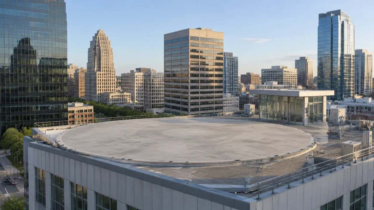
1 Check the ground footprint of a vertiport
A vertiport looks compact from the air and takes more ground than expected at street level. The pad, the apron, the passenger building, and the emergency access all compete for the same parcel. Starting with the footprint avoids a concept that cannot fit.
1.1 Size the pad, apron, and passenger building
Place the pad on the site and add the apron and passenger building around it. Check that the resulting compound leaves room for the vehicle circulation the operator describes. A small terminal may need a drop-off lane, a waiting area, and a secure boundary. If those elements do not fit, the site is not viable regardless of how good the approach looks. Keep the passenger building close to the pad without blocking the emergency route. If the parcel cannot hold the compound, the review can stop early and save the cost of an aviation study.
1.2 Leave room for emergency access
Emergency vehicles need a route that stays clear and a position close to the pad. Mark that route on the site and check it against the passenger and vehicle flows. A route that works on a quiet day may fail when the curb is busy. Keep the emergency path separate where possible and show the conflict points in the review. The curb can be busiest at the moment an emergency vehicle arrives, so test that overlap.
2 Read surrounding heights for approach context
Approach paths depend on what stands near the site. Buildings, cranes, terrain, and trees all affect the usable airspace around a pad. The site model gives planners a way to see those neighbors together instead of checking them one by one.
2.1 Map nearby towers and terrain
Build the surrounding district and note the tallest structures within the area of interest. Compare their heights with the proposed pad elevation and the direction of the approach. This is context, not an obstacle analysis, but it shows where a study is needed. A cluster of towers on one side may push the approach toward a quieter direction. Use the same area of interest for every candidate so the comparison is consistent. A building that sits outside the area of interest may still matter if a future phase raises its height.
2.2 Flag obstacles that need aviation study
Mark the structures that sit close to the likely approach and departure paths. Send that list to the aviation consultant with the scene. The consultant will apply the relevant standards and decide whether an obstacle is acceptable. The planner's job is to make the question visible early, not to answer it. Keep the list short and specific, with heights and distances where available.

3 Connect the vertiport to ground transport
A vertiport works when passengers can reach it. The connection may be a curb, a shuttle, a transit stop, or a short walk. Testing those links on the site plan shows whether the location makes sense for the trip it is meant to serve.
3.1 Measure curb-to-lounge walking routes
Trace the route from the drop-off point to the passenger lounge and note the distance, crossings, and weather exposure. A vertiport with a long outdoor walk feels inconvenient in rain and heat. If the walk is unavoidable, the design may need a canopy or a different entrance. The model makes that trade-off easy to discuss. A short, covered walk is often more valuable than a larger lounge.
3.2 Test shuttle and taxi loops
Draw the shuttle and taxi loops and check how they turn, wait, and leave. A loop that requires a U-turn on a busy road creates a bottleneck. A loop that shares space with pedestrians creates a safety question. Adjust the curb layout in the scene before the transport plan is fixed. Mark the waiting area so idling vehicles do not block the loop. A simple diagram of the loop is enough for the discussion.
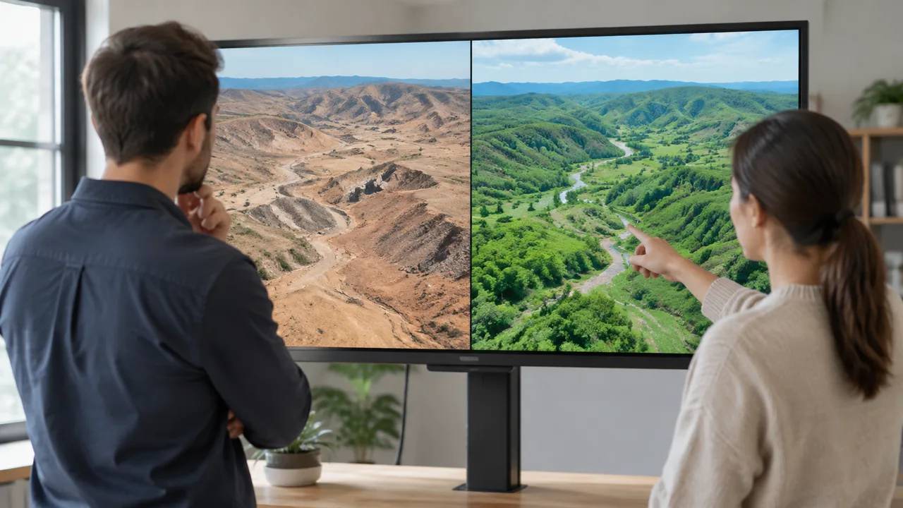
4 Compare candidate sites on one screen
Site selection is where a 3D scene earns its place. Several parcels can be built from map data and compared on the same criteria. The comparison stays visible, which keeps the discussion from drifting into preference.
4.1 Build each site from map data
Select each candidate area and let GenAnywhere generate the site context, including buildings, terrain, and vegetation. The result is not a survey, and the heights are estimates. It is enough to compare how a pad would sit in each location and what it would displace. Keep the source date with each scene so reviewers know what they are looking at. The generated context is approximate, and the aviation team will replace it with surveyed data where it matters.
4.2 Switch between options during review
Keep each candidate as a separate scene or group and switch between them in the meeting. Reviewers can compare access, footprint, and surrounding height without shuffling drawings. The conversation stays on the criteria instead of on the software. Keep the criteria visible on screen so the discussion stays on the trade-offs. When a site is shortlisted, export the scene as GLB for the aviation and design teams.
5 Keep airspace and certification outside the model
A site scene can support a planning decision. It cannot approve an airspace change or certify an aircraft operator. Those processes belong to aviation authorities and follow evidence that a map-based model does not contain. Saying so early prevents false expectations.
5.1 Approach procedures belong to aviation authorities
Approach and departure procedures are designed and approved by qualified aviation specialists and regulators. The site scene can show where a proposed pad sits relative to buildings and terrain. It cannot design a procedure or confirm that one is safe. Treat every procedural question as a specialist task and share the scene as context, not as a proposal. The consultant may need wind data and obstacle surveys that the scene does not contain. That separation keeps the planning conversation useful without overstating what the scene can prove.
5.2 Noise and community review follow local process
Noise is often the issue that decides a vertiport site. The review process depends on the city, the airport operator, and the national authority. Bodies such as the European Union Aviation Safety Agency publish guidance for urban air mobility, and local rules add their own requirements. Check the process before committing to a site, and expect community consultation to shape the outcome. Early consultation can reveal a constraint that changes the site ranking.
6 Set up an initial siting review
A short siting review can narrow a long list to a few sites worth studying. The work is mostly about criteria and context, not detailed design. A clear sequence keeps the review from turning into a beauty contest.
6.1 Collect map sources and site notes
Gather the candidate parcels, the surrounding road network, and any known constraints such as flood zones or protected land. Note the source and date of each layer. A consistent base makes the comparison fair and gives the aviation consultant a clean starting point. A small, well-labeled base is easier to keep current than a large one.
6.2 Score sites against access and footprint
Use a short list of criteria: available footprint, curb access, surrounding height, and distance from sensitive uses. Score each site and record the reason for the score. The numbers are an aid to discussion, not a substitute for judgment. Record the reason for each score, not just the number. If two sites score closely, the difference is usually a question for the specialists. A site that scores well on paper may still fail a specialist review.
6.3 Record open questions for specialists
Write down what the review could not answer, including airspace, noise, structural loading, and fire access. Assign each question to the group that will answer it. Teams can start a candidate scene in GenAnywhere and use the workflow overview to plan the handoff. The questions list is the most valuable output of the review. Send the questions before the specialist meeting so the group can prepare.
7 FAQ
FAQ-1 Can planners choose a vertiport site with this tool?
They can narrow the list and make the trade-offs visible, which is a useful planning step. The final choice depends on airspace, noise, safety, and community review, and those require specialist studies and regulatory decisions. Use the scene to compare footprint and access, then let the specialists test the shortlisted sites. The tool supports the process without replacing it.
FAQ-2 Does the model include obstacle limitation surfaces?
No. It shows buildings, terrain, and vegetation as context, but it does not calculate or draw regulatory obstacle surfaces. Those surfaces depend on the applicable aviation standard and the approved procedure. Share the scene with an aviation consultant, who can apply the correct surfaces and assess the result. Do not treat the visible skyline as an obstacle analysis.
FAQ-3 Can a rooftop pad be tested?
A rooftop option can be represented if the building is in the map data, but the model will not confirm structural capacity, fire access, or wind conditions. Those require building-specific engineering and aviation assessment. The scene can show how the pad sits in the skyline and how passengers would reach it. Use it for context and leave the engineering to the building team.
FAQ-4 What belongs in an initial siting brief?
Include the candidate parcels, the proposed pad footprint, the expected passenger access, and the known constraints. Add a short list of questions for aviation, noise, and structural specialists. Keep the brief to a few pages and attach the scene or exported views. A clear brief helps specialists price their work and reduces the risk of studying the wrong site.
Content and technical notes
This article was prepared by the GenAnywhere team with AI-assisted drafting and human review.
Product features, formats, and availability change as the platform evolves; refer to the official GenAnywhere website for current details.
For technical questions or corrections, contact support@genanywhere.com.
Last reviewed: 2026-11-16.