
Settling pond edits: can GenAnywhere change size and position?
The pond in the scene is mapped water, not a designed basin, so its outline and its place on site stay where the data put them.
No, a settling pond cannot be resized or moved inside GenAnywhere. The pond arrives as a water polygon traced from map and satellite data, and the platform offers no handle to drag its edge or shift its centre. What can change is everything around it: buildings, their heights and types, the layers you show, the frame you export. When a scheme needs a different pond, that basin is design geometry and gets combined downstream.
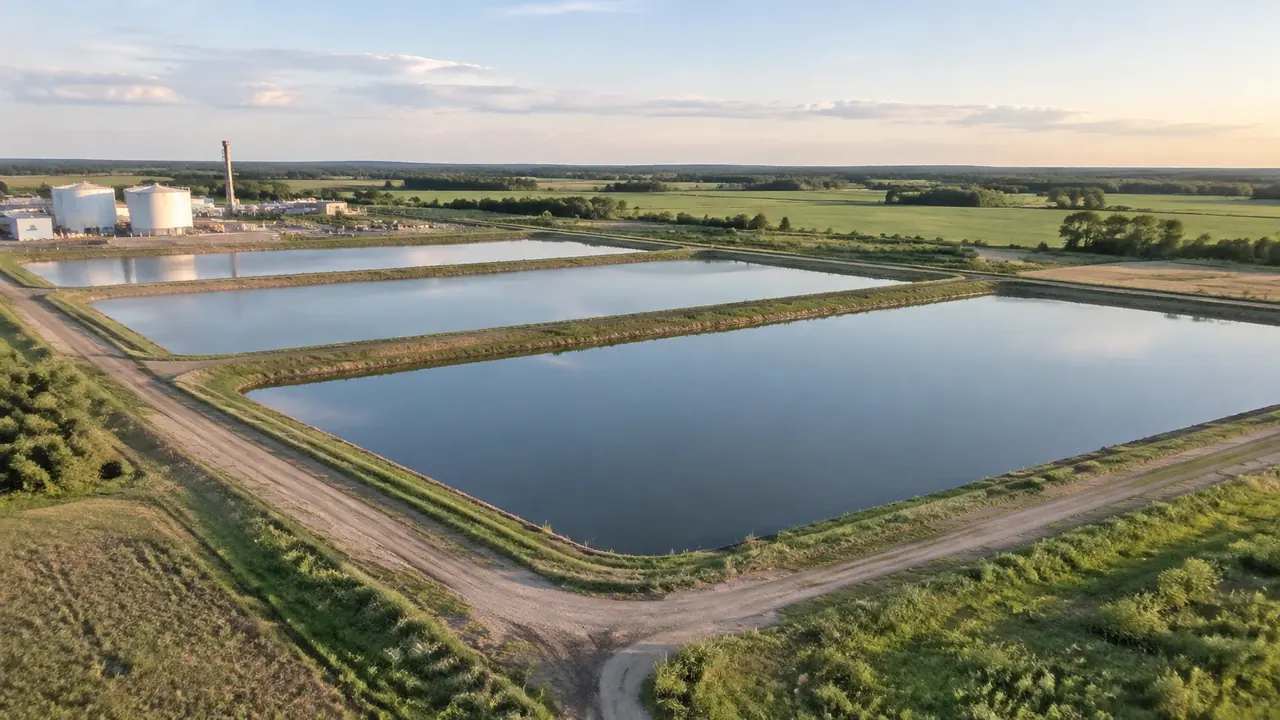
1 What a pond in the scene actually is
1.1 A mapped polygon, not a designed basin
The scene takes open water where the source data records it and turns that outline into a surface at a level the data implies. A settling pond inside a plant boundary is handled the same way as a reservoir: a shape with water in it. The model knows the outline and nothing about the wall, the inlet, the outlet or the sludge. That is a thin description of a pond, and it helps to know it before the review starts. Expect the shape to be broadly right and the engineering to be absent.
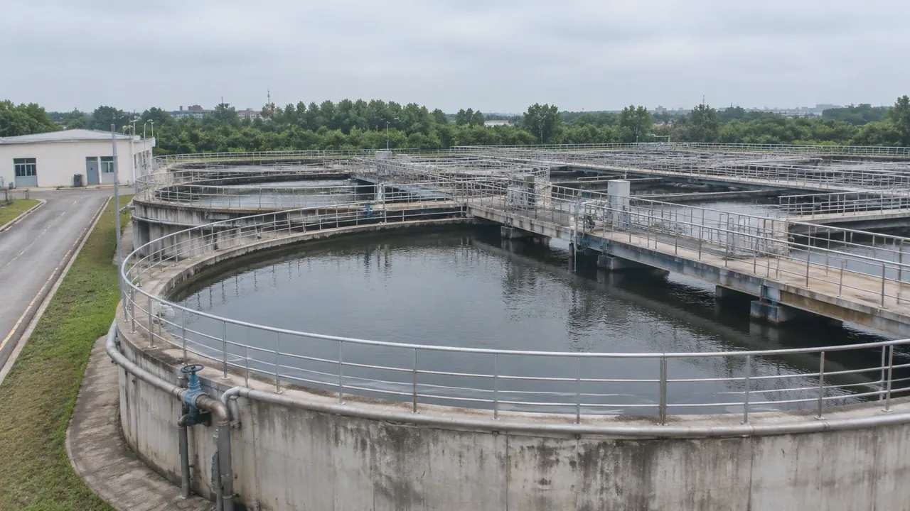
1.2 Why the edges look simplified
Where the water meets the ground, the geometry becomes a vertical face rather than a slope with a liner and a berm. On a large pond that simplification is easy to accept. On a small one it can make the basin look deeper or steeper than it is. Nothing in the scene carries the batter, the freeboard or the pipe through the wall. Check a section drawing when the shape of the bank is part of the question, and use the scene for position and extent.
2 What can be edited around it
2.1 Buildings, heights and types
Buildings near the pond can be replaced, moved, rotated and re-typed after generation, which covers the blower house, the control room, the store and the office. Heights are estimated, so a tall building may read low and a low one may read high. Correcting those takes a minute and makes the plant legible to people who have never walked it. The pond stays put through all of it, because the edit tools work on buildings rather than on water. A corrected blower house often does more for a plant review than a perfect pond would. Check the two or three buildings you know have changed, and leave the rest alone.
2.2 Layers and the ground beneath
Water, terrain and vegetation are managed as layers, so the pond can be hidden to show the ground under it or kept visible while planting is switched off. That is useful when a review compares a green edge with a hard edge. Layers change what you see, not what exists. It is also the quickest way to show a drained basin to someone who has never seen the plant dry. Say in the minutes which combination was on screen, because two people describing a pond from different layer states will disagree about the same site.
3 When the pond has to change
3.1 Design geometry downstream
When the pond must move, grow or change shape, the new basin is designed in a CAD or BIM tool and combined with the exported scene. The scene keeps its job as context: the plant, the road, the boundary, the neighbouring land. The design keeps the job of being the proposal. That split is ordinary in engineering workflows, and it is why the platform does not need pond-editing tools to be useful on plant work. Your design team already has the tools for the basin.
3.2 Re-framing instead of rebuilding
Before commissioning new geometry, check whether the question is about the pond or about the view of it. A review that wants to show a pond closer to the fence may be answered by a frame that includes the fence. A review that wants more treatment capacity needs a design, not a camera move. Telling those two apart saves a week of work and keeps the scene honest about what changed.
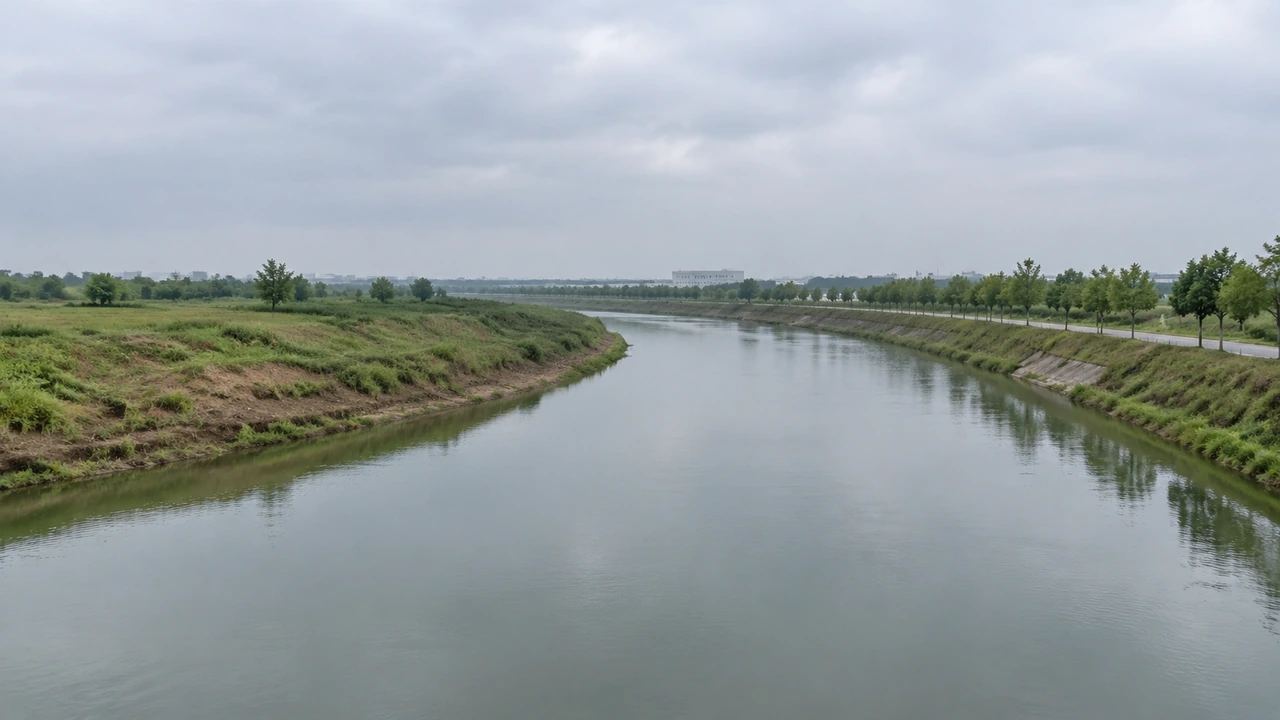
4 Limits worth stating early
4.1 No volume, no capacity, no process
The scene does not compute pond volume, retention time, overflow or sludge accumulation. Those numbers come from process design, and they depend on flow, loading and the equipment in the basin. A water surface in a model is a shape, not a vessel with a capacity. If the review turns on whether a pond is big enough, the answer lives in a process calculation, and the model can show where the basin sits and nothing further. Say that before the question is asked in a way that expects a number.
4.2 No construction detail at the bund
Walls, liners, weirs, pipe penetrations and access stairs are not part of the generated pond. A vertical face stands in for the bank, and nothing behind it is described. That is fine for a site review and not fine for a construction discussion. Keep those talks with the drawings and the specification. Stating the limit early stops a plausible image from being treated as a detail source, which is the usual way misunderstandings begin. A short caption under the image does the same job with less talking.
5 Handoff
5.1 What the export carries
The GLB carries the site as geometry: terrain, water, buildings, vegetation and the edits you made. The pond travels as part of that surface, positioned where the source data placed it. Import behaviour varies by application, so open the file before you send it on. Treat the pond in the export as a mapped feature that needs replacing if the scheme changes it. A one-line note in the file description covers that. It is the difference between a file that gets used with care and one that gets used as a plan.
5.2 What the receiving team must add
The receiving team adds the designed basin, the levels, the wall detail and anything the process needs. They also decide whether the mapped pond stays as a faint reference or disappears once the design arrives. Agree that before the file moves, because the two versions look similar on screen. One is a record of what exists, the other is a proposal, and mixing them is how a review loses its footing.
6 Running the review
6.1 Agree the pond under discussion
Name the basin, its approximate position and the decision the review faces. Plants often hold several ponds and lagoons, and the phrase settling pond can mean different things to operations and to design. Pointing at a shape in a scene settles that in seconds. Write the name into the note so the next meeting does not reopen it, and so a reader who joins later starts in the right place. Ten words of naming saves a quarter of an hour of clarification.
6.2 Record the difference between scene and design
Keep a line in the note saying the pond in the file is the mapped one and any design basin is separate. That sentence prevents a reader from measuring the wrong shape. It also helps when someone opens the file months later with no memory of the meeting. Documentation of a difference costs a paragraph; rebuilding geometry because nobody wrote the paragraph costs a day. Keep the note where the file lives, not in a chat log.
6.3 Next step
Decide who designs the basin and who checks the scene against it. A process engineer, a civil team and a planning officer will each want something different from the same file. Naming the owner of the design geometry keeps the handover short. If nobody owns it, the pond in the scene will quietly become the proposal, which is the one outcome worth avoiding on a plant review. Write the owner down in the handover and the scene stays a setting.
Open the GenAnywhere app and frame a plant site with its ponds
7 FAQ
FAQ-1 Can I resize a settling pond?
No. The pond is a water polygon traced from map and satellite data, and the platform does not provide a tool to change its outline. Buildings can be edited; water cannot. If the pond needs a different footprint, design the basin in a CAD or BIM tool and combine it with the exported scene. Keep the mapped pond as a reference so the difference between existing and proposed stays visible.
FAQ-2 Can I move a pond?
Not inside the platform. Position comes from the source data along with the outline, and there is no move or rotate control for water. Moving a basin is a design decision with levels, inlets and process consequences, so it belongs in the design model. Place the new basin there, keep the scene as the setting, and say in the handover which shape is existing and which is proposed.
FAQ-3 Will a new pond show up in the scene?
Not until the source imagery records it. A pond built after the satellite pass will be missing, and so will one recently taken out of service. That matters on active plants where basins are added or retired. Check the scene against a current site plan before a review, and note any basin the model does not show. An absence is easy to miss and hard to explain afterwards. Groups such as ASPRS publish material on imagery and its interpretation if a team needs to judge what a capture date means.
FAQ-4 Can the model calculate pond volume?
No. Volume, retention time and overflow depend on process design and on survey levels, and the scene holds neither. It shows a water surface and the ground around it. Teams that need those figures use a process model or a survey-based calculation. The scene can support the meeting where the numbers are discussed, but the numbers come from elsewhere and should be labelled with their source.
See how a generated site moves into a GLB workflow
Content and technical notes
This article was prepared by the GenAnywhere team with AI-assisted drafting and human review.
Product features, formats, and availability change as the platform evolves; refer to the official GenAnywhere website for current details.
For technical questions or corrections, contact support@genanywhere.com.
Last reviewed: 2026-11-13.