
Airport terminal planning: what changes with GenAnywhere
A way to read airside edges, landside demand, and phased growth in one editable site scene.
Terminal planning begins with a box caught between two systems: aircraft on one side, roads on the other. Get either edge wrong and the building fights itself for decades. A map-based 3D site model makes both edges visible early, so the brief can test access and expansion before design teams commit to a layout. Airport terminal planning benefits from that early clarity, provided the scene is read as context rather than as an aviation study.
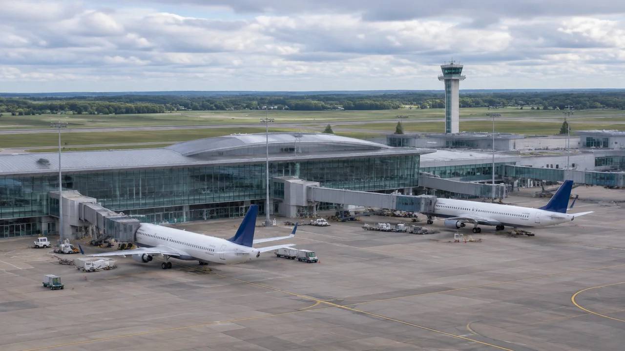
1 Read the airside and landside edges together
The terminal is a transfer machine, and its two faces follow different rules. Airside geometry is set by aircraft and safety areas. Landside geometry is set by vehicles, pedestrians, and the surrounding road network. Looking at both in one scene exposes conflicts that separate drawings hide.
1.1 Fix the terminal box between runway and road
Start by locating the building envelope. The distance from the runway strip, the depth of the apron, and the available road frontage define how much terminal can fit. Moving the box a few hundred meters changes the taxi route and the passenger walk at the same time. Seeing that trade-off in 3D is more useful than debating it on a plan. The same envelope also sets how much of the site remains for future expansion, so leave the reserve visible from the start.
1.2 Check apron depth against aircraft stands
Apron depth decides how many stands fit and how ground vehicles move between them. Place aircraft footprints on the apron and look at the clearance behind the tail and around the service lanes. A layout that looks generous on paper can leave no room for a fuel truck to pass. Confirm stand geometry with aviation specialists rather than treating the model as a stand design. Ground service roads need their own width, and a stand layout that ignores them will fail on the apron.
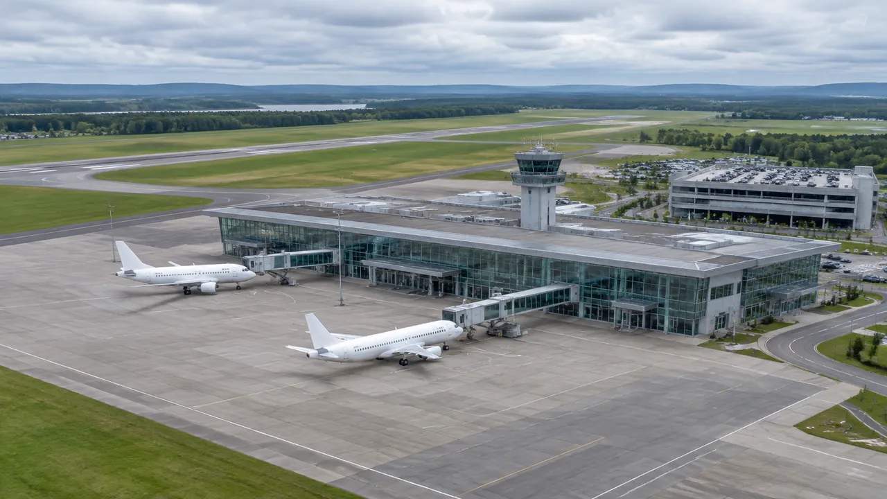
2 Stage expansion without rebuilding the whole scene
Airports rarely build a terminal once and stop. They add piers, extend concourses, and rework curbsides in stages while the building stays open. The site model should support that sequence instead of treating each phase as a new project.
2.1 Add new piers as separate building groups
Keep the current terminal as one group and add future piers as another. That structure lets the team switch phases on and off during a review without redrawing the rest of the site. It also shows how a new pier changes aircraft movement and the walk from security. Groups are easier to discuss than a single merged mass. Label each group with its phase so a reviewer can tell the current building from a future one.
2.2 Keep the current terminal visible as reference
Future phases make more sense when the existing building stays on screen. Reviewers can see which entrances remain in use, which roads close during construction, and where temporary routes will run. The reference also keeps the conversation honest, because a proposal that ignores the operating terminal is easy to spot. New reviewers who join midway through the project can see the operating terminal without reading the previous reports.
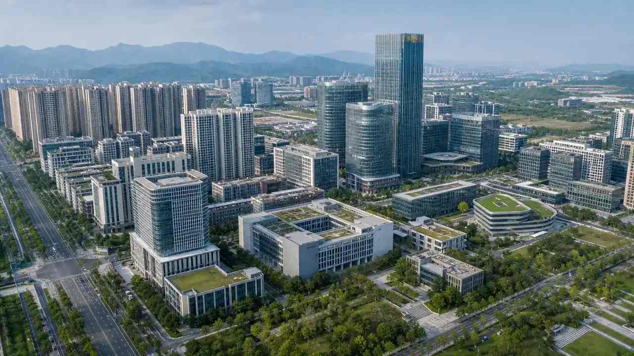
3 Test curb and parking demand in plan view
Landside pressure is easier to understand at eye level and from above. The curb is where the terminal meets the city, and it is usually the most contested strip on the site. Early layout work there saves redesign later.
3.1 Lay out drop-off lanes before detailed design
Draw the curb lanes and see how many vehicles can queue without blocking the through road. Compare a single loop with separate arrivals and departures, and note where pedestrians cross. These sketches are planning tools, not traffic engineering, but they reveal whether the frontage is wide enough for the service the operator wants. Add a simple count of vehicles per lane to make the comparison concrete.
3.2 Estimate the walk from garage to check-in
Parking matters when the walk works. Trace a route from the garage, through the curb, and into the check-in hall, then compare it with the walk from a transit stop. Long, exposed walks push passengers toward drop-off, which changes curb demand. The model makes that feedback loop visible before the parking layout is fixed. A covered walk is worth marking on the scene, because weather changes how people choose to arrive. A second view from the garage helps confirm the route.
4 Bring a terminal concept into stakeholder review
A terminal brief touches airlines, retailers, transport operators, and the local authority. Each group reads a drawing differently. A scene that non-specialists can rotate and inspect keeps the conversation on the same object.
4.1 Share an editable scene with non-CAD reviewers
GenAnywhere generates the site from map data and separates buildings, terrain, water, and vegetation into layers. Reviewers can hide a layer, move a building, or change its height and type without touching a CAD file. For a terminal study, that means an airline can point at a stand while a transport planner points at the curb. The scene is a shared reference, not a design deliverable, and it still needs specialist review before any decision. Everyone should know that heights are estimated and that a survey may change the picture.
4.2 Swap one building without redrawing the rest
Terminal studies often hinge on one element: a pier, a parking structure, or a rail link. Replacing a single building in the scene lets the team test that element against everything else. The rest of the site stays put, so the comparison is fair. When the option is settled, the scene exports as GLB for use in design and visualization tools, with formats depending on the target workflow. Keep the replaced option as a separate group so the comparison can be repeated later. The export is a snapshot, so note the date.
5 Separate planning questions from aviation approvals
A site scene can support a planning discussion. It cannot approve an airfield layout. Aviation safety, security, and environmental review follow their own processes and their own evidence. Keeping that boundary clear protects everyone involved.
5.1 Safety and security review sits with regulators
Runway separation, obstacle limitation surfaces, and security zoning are regulatory matters. Bodies such as the International Civil Aviation Organization publish the standards that national authorities apply. The site model can show where a proposed building sits, but the authority decides whether that position is acceptable. Treat every aviation finding as a question for the regulator, not a conclusion from the scene. Record the authority's response in the project file so the question is not reopened by accident.
5.2 Survey and geotechnical work stays separate
Terminal expansion needs measured survey, ground investigation, and utility records. Map-derived context does not supply those. It does help the team decide where to investigate and how the findings might affect the layout. Commission the field work early, because a terminal program that waits for ground conditions tends to lose its schedule. That early start also protects the program when findings arrive late.
6 Sequence an initial terminal study
A short, structured study is more useful than a large model nobody reviews. The sequence matters as much as the content. Start with the site, move to options, then hand the open questions to the design team.
6.1 Gather the parcel file and access notes
Collect the map sources, the current terminal drawings, and any known access constraints. Note which documents are current and which are indicative, because mixing them without labels causes confusion later. A short data note at the front of the scene saves hours of explanation in review. Ask each contributor to confirm the version they supplied, and note it in the data log.
6.2 Run three block layouts side by side
Build three options that differ in a meaningful way: a linear terminal, a pier scheme, and a compact satellite. Compare them on stand count, curb length, and walking distance rather than on appearance. The team does not need a winner at this stage. It needs to know which questions separate the options. Keep the comparison simple enough that a non-specialist can follow it.
6.3 Agree the questions for the design team
Write down what the study could not answer. That list might cover structural grids, baggage systems, security equipment, and environmental assessment. Hand it to the design team with the scene so they know where to start. The design team can then respond to specific questions instead of a general request for more work. Teams can open GenAnywhere to rebuild the site context or follow the workflow overview to connect it to their tools.
7 FAQ
FAQ-1 Can a site model support an airport master plan?
It can support the early site conversation, especially around terminal position, curb capacity, and phased growth. It cannot replace an airport master plan, which depends on traffic forecasts, aviation standards, environmental review, and consultation. Use the model to make options visible, then let the master planning process test them with the required evidence. The two activities complement each other when their boundaries are clear.
FAQ-2 How current is the map data?
Map and satellite sources update on their own schedules, and some areas are better covered than others. Check the date and resolution of the source before relying on a building footprint or a road alignment. For a terminal study, confirm anything that affects aircraft movement or access with a current survey. The scene is a planning aid, so freshness matters most where decisions depend on it.
FAQ-3 What happens to the model after review?
It exports as a general GLB file, which can be opened in common 3D, BIM, GIS, and game-engine tools. Buildings, terrain, and vegetation remain separate, so each team can use the part it needs. Some workflows need conversion or cleanup after import, and output options can change as the platform develops. Keep the original scene as the reference for what was reviewed.
FAQ-4 Is this suitable for a small regional airport?
Yes, and small airports often benefit most because they lack a large planning team. A regional terminal study can use the scene to compare a single expansion with a phased option and to brief consultants. The limits are the same as at a large hub: survey, aviation standards, and regulatory review stay outside the model. Start with the questions the airport actually needs to answer.
Content and technical notes
This article was prepared by the GenAnywhere team with AI-assisted drafting and human review.
Product features, formats, and availability change as the platform evolves; refer to the official GenAnywhere website for current details.
For technical questions or corrections, contact support@genanywhere.com.
Last reviewed: 2026-11-16.